June 16 , 2022.
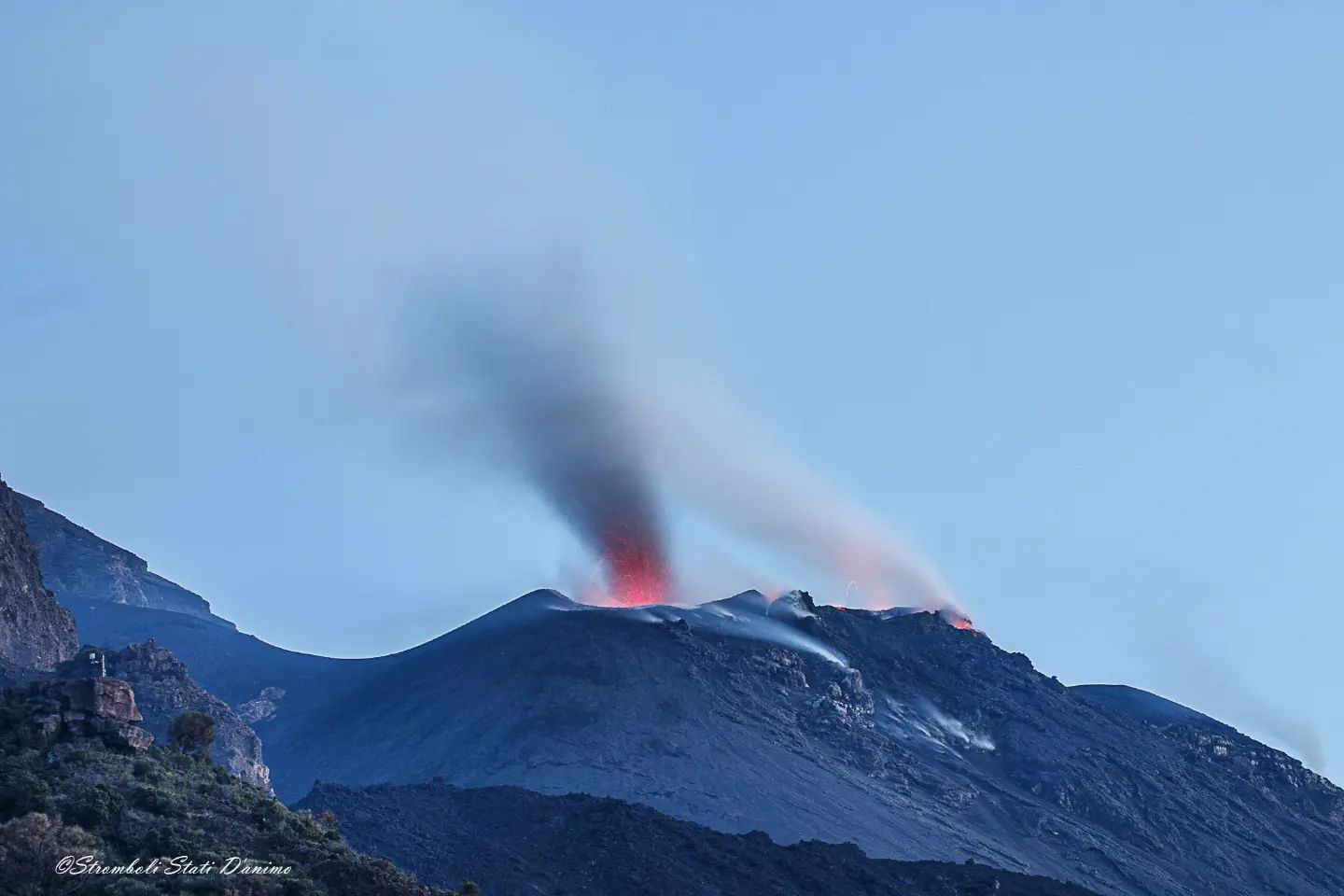
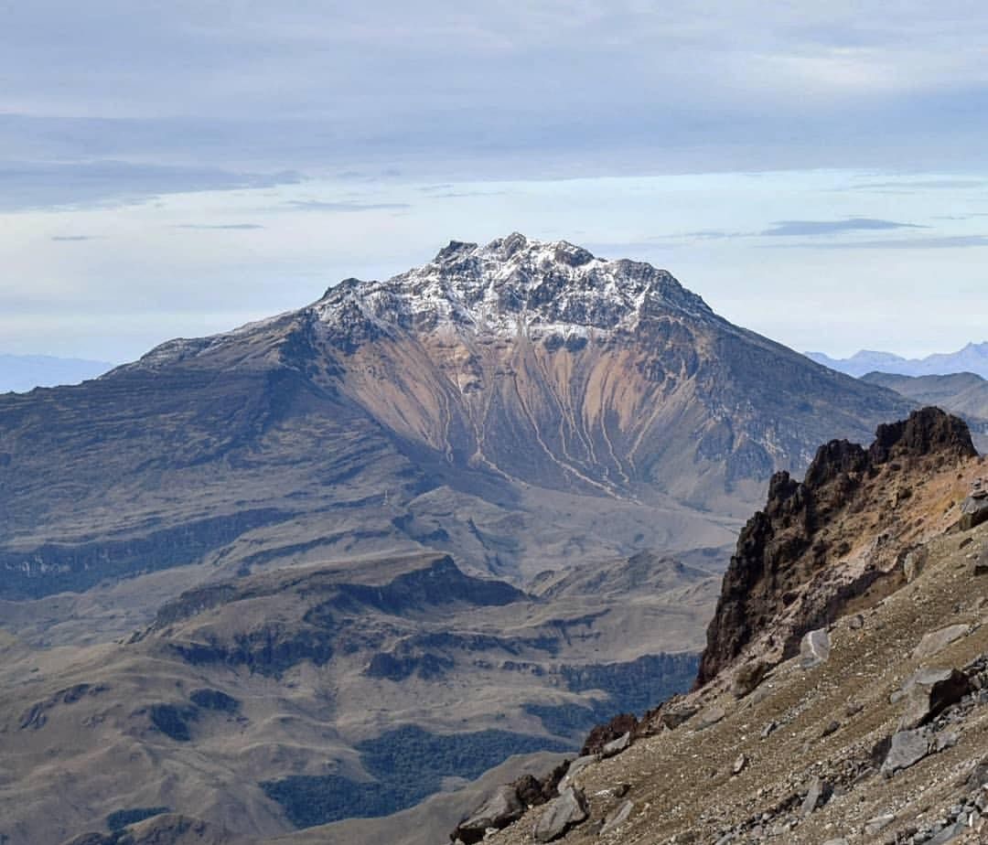
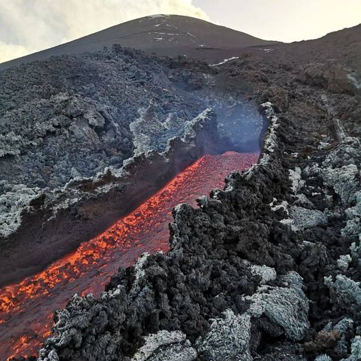
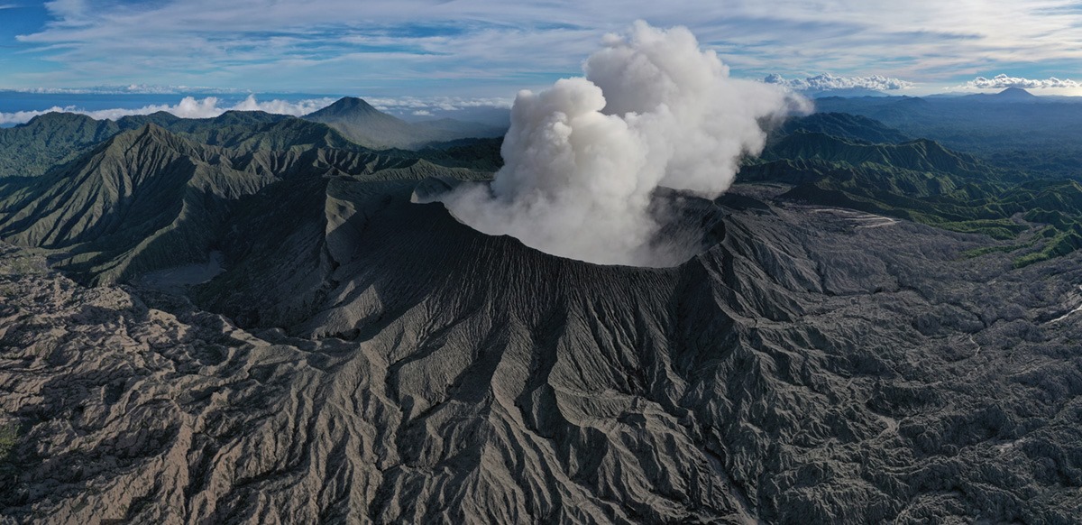
Italy , Vulcano :
WEEKLY BULLETIN, from June 06, 2022 to June 12, 2022 (Issue date June 14, 2022)
ACTIVITY STATUS SUMMARY
In the light of the surveillance data, it is highlighted:
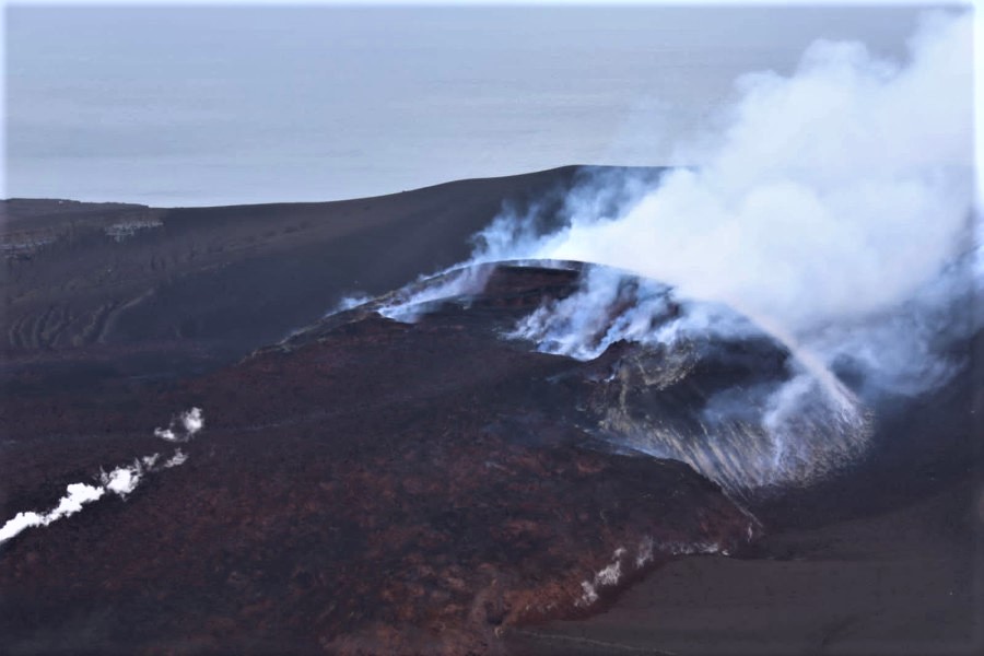
1) Temperature of the crater fumaroles: Still stable and high temperature values of the fumarolic emissions present on the rim of the crater.
2) CO2 flux in the crater area: On the VCS site, there is a slight decrease in the flux of CO2 emitted by the ground, with values equal to 5000 g/m2/day (day June 12).
3) SO2 flux in the crater area: SO2 flux at a medium-high level and increasing
4) Geochemistry of fumarolic gases: No update since the last bulletin.
5) CO2 fluxes at the base of the La Fossa cone and in the Vulcano Porto area: No significant variation is observed, the CO2 fluxes recorded in the C. Sicilia and P4max sites continue to remain at average values- high; at Rimessa there is a slight downward trend, at the Faraglione site the values are stable at levels close to the background level.

6) Geochemistry of thermal aquifers: The physico-chemical parameters of thermal aquifers present stable values. There are no significant changes.
7) Local seismicity: The phase of general increase in local micro-seismicity continues, linked to the dynamics of hydrothermal fluids, in particular lower frequency events.
8) Regional seismicity: No earthquake with Ml >= 1.0 was located, during the week in question, in the area of the island of Vulcano.
9) Deformations – GNSS: Data from the permanent GNSS network did not show any significant changes during the week.
10) Deformations – Inclinometry: Data from the network of inclinometer stations on the island did not show any significant changes during the week.
11) Other observations: Gravimetry: No significant variation was recorded.
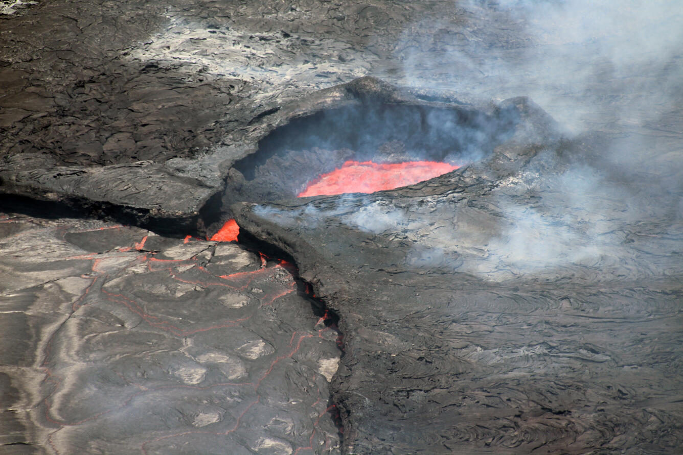
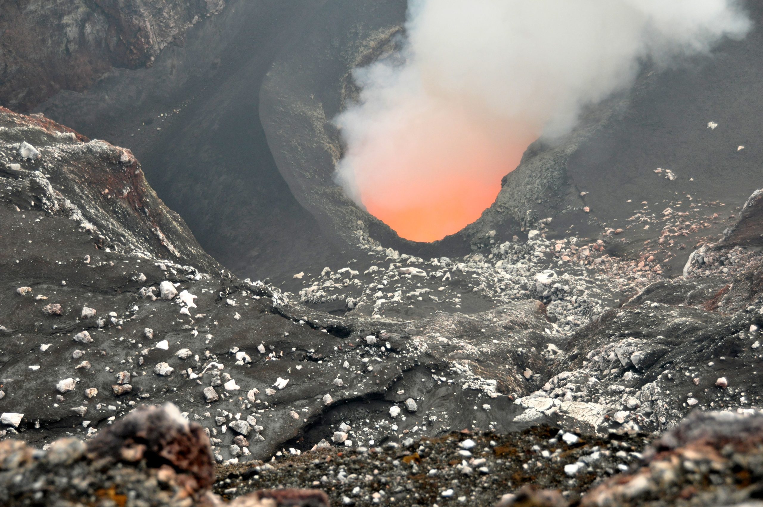
CRATER FUMAROLES TEMPERATURE
Along the upper edge, the maximum emission temperature has extremely stable values, with a maximum of 382°C and a weekly average of 379°C (T1). The fumarolic field has equivalent emission temperatures over the entire summit fracture line, confirming a thermal anomaly still maintained by a constant vapor flow (T varying between 382-379°C); the thermal signal from sensor T3 (fumerole F5) overlaps the temperatures recorded in T2 (fumerole F5AT).
The temperature values recorded on the interior side, on the other hand, seem to have dropped in recent days; field measurements will be taken soon to verify the validity of the data acquired remotely.
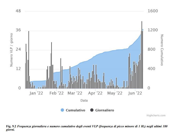
LOCAL SEISMICITY
The phase of general increase in the rate of occurrence of local seismicity continues, linked to the dynamics of hydrothermal fluids. In the week between June 06 and June 12, the frequency of occurrence of micro-shocks with the spectral peak > 1 Hz showed a slight decrease compared to the previous week. Regarding low frequency events (VLP; spectral peak below 1 Hz), there is a clear increase compared to what was reported last week.
Source : INGV.
Photos : INGV
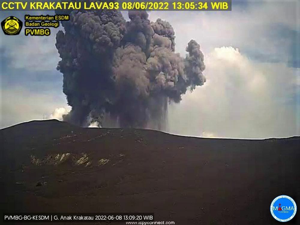
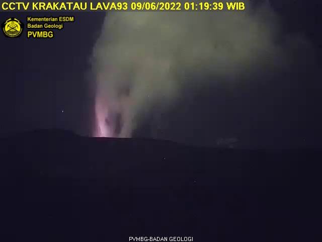
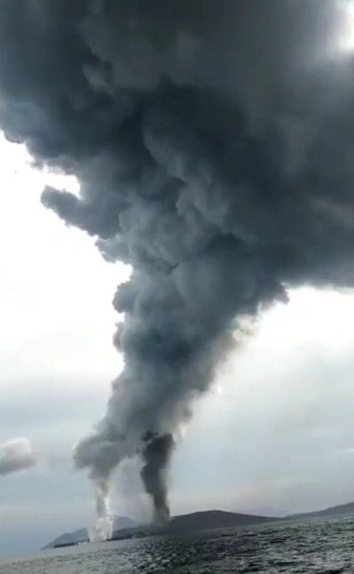
Indonesia , Anak Krakatau :
VOLCANO OBSERVATORY NOTICE FOR AVIATION – VONA
Issued : June 15 , 2022
Volcano : Anak Krakatau (262000)
Current Aviation Colour Code : ORANGE
Previous Aviation Colour Code : orange
Source : Anak Krakatau Volcano Observatory
Notice Number : 2022KRA49
Volcano Location : S 06 deg 06 min 07 sec E 105 deg 25 min 23 sec
Area : Lampung, Indonesia
Summit Elevation : 502 FT (157 M)
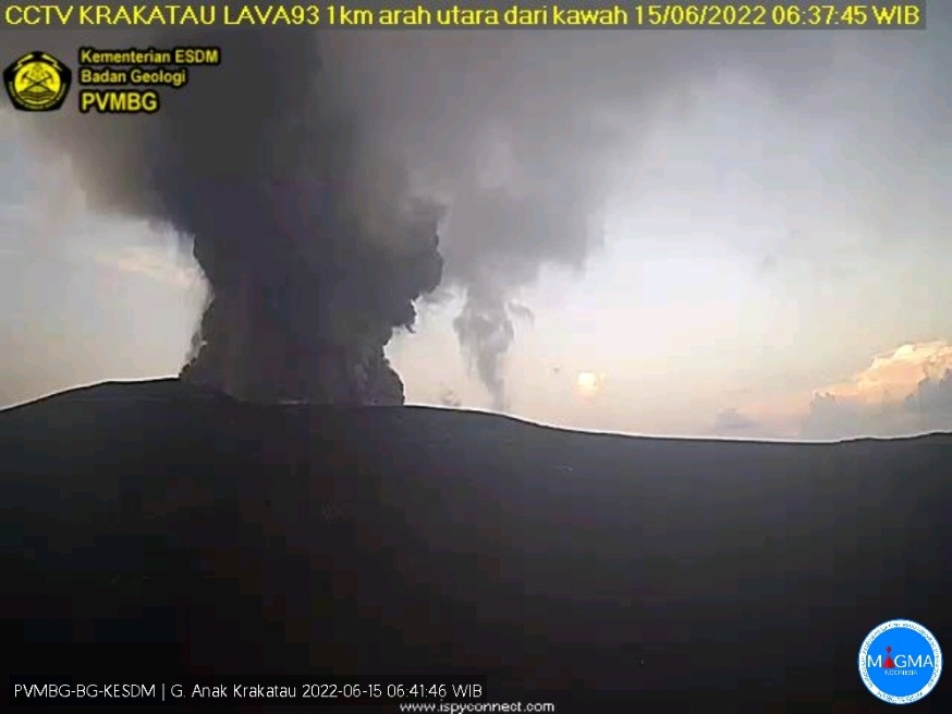
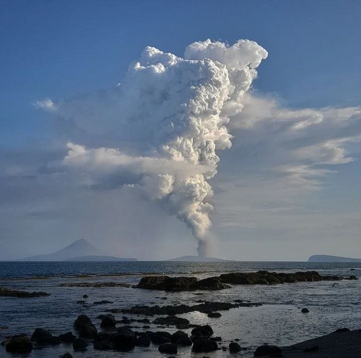
Volcanic Activity Summary :
-Eruption with ash clouds at 2:19 p.m. UTC (9:19 p.m. local time). The eruption lasted 30 seconds. June 15, 2022
– Eruption with ash clouds at 05:41 UTC (12:41 local time). The eruption lasted 41 seconds. June 16, 2022
Volcanic Cloud Height :
Best estimate of ash-cloud top is around 1462 FT (457 M) above sea level, may be higher than what can be observed clearly. Source of height data: ground observer.
Other Volcanic Cloud Information :
Ash cloud is moving to south
Remarks :
-Eruption recorded on seismogram with a maximum amplitude of 42 mm and a maximum duration of 30 seconds.
-Eruption recorded on seismogram with a maximum amplitude of 62 mm and a maximum duration of 41 seconds.
Source : Magma Indonésie.
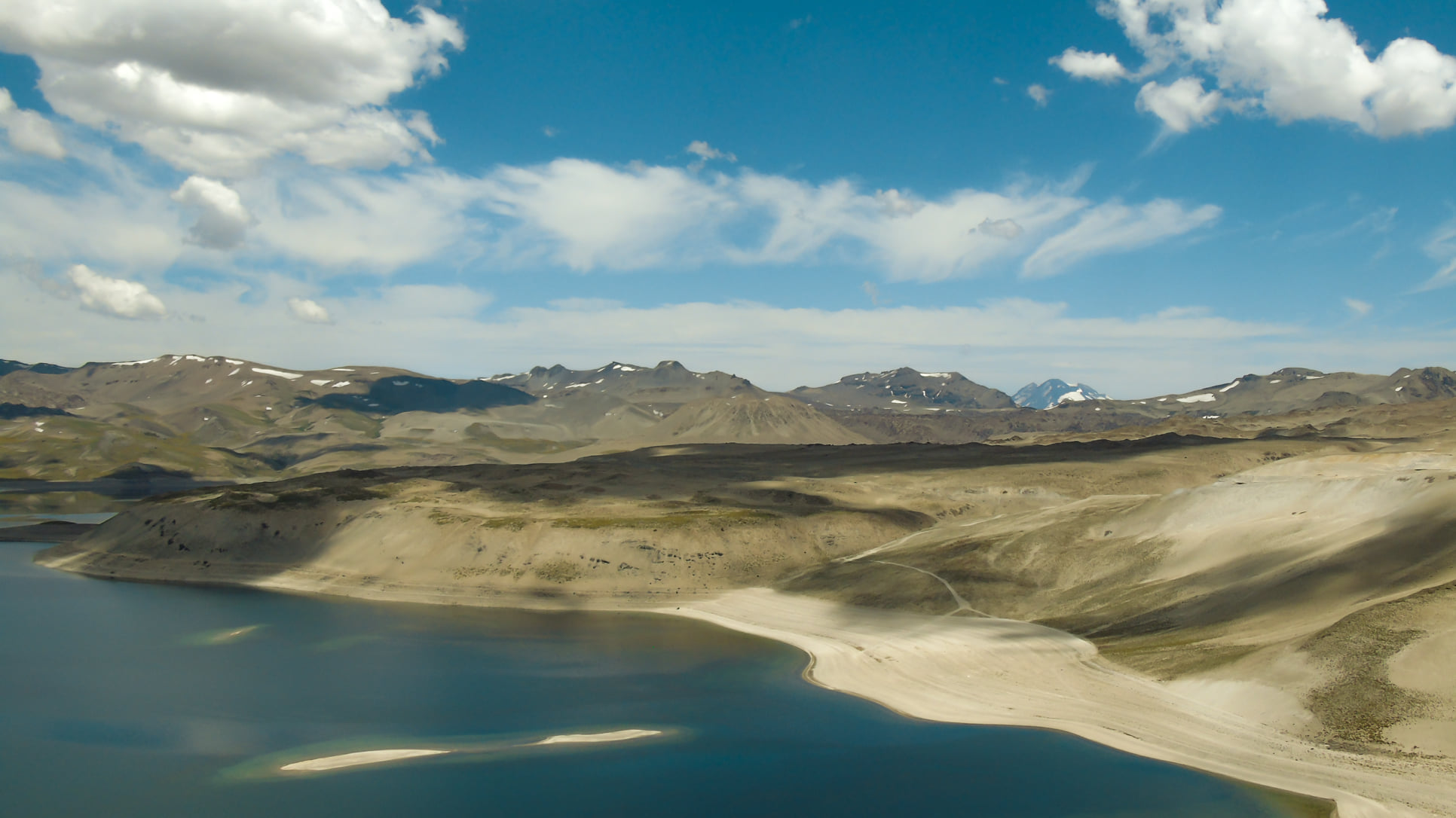
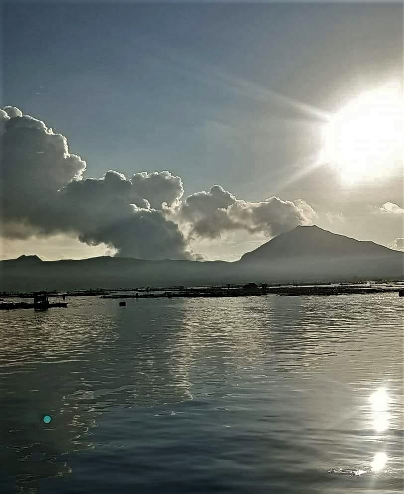
Colombia , Puracé – Chaîne volcanique Los Coconucos :
Weekly bulletin of the activity of the Puracé volcano – Los Coconucos volcanic chain
The level of activity of the volcano continues at the Yellow activity level or (III): changes in the behavior of volcanic activity.
From the analysis and evaluation of the information obtained through the monitoring network of the Puracé volcano – Los Coconucos volcanic chain, during the week of June 7 to 13, 2022, the COLOMBIAN GEOLOGICAL SERVICE – Volcanological and Seismological Observatory of Popayan reports that:
• During this week, the strong occurrence of earthquakes associated with the movement of fluids inside the volcano continues. A total of 1,650 seismic events were presented, of which 51 were associated with rock fracturing processes (type VT) and 1,599 with fluid dynamics in volcanic conduits; Of these, 994 were classified as long period type events (LP type), three (3) events as hybrid type (HB type), 123 low frequency events (BF type), 3 « tornillos » type events (type TO) and 476 as low energy input tremor pulses (TR type).
• The geodetic network of GNSS (Global Navigation Satellite System) stations monitoring ground deformation continues to record a process associated with inflation.
• With regard to the monitoring of volcanic gases, the fluxes of sulfur dioxide (SO2) emissions recorded by the telemetry stations showed a stable behavior, reaching
discharge values at permanent stations with a maximum issued of 544.25 t/day for June 12. The other gas analysis instruments in the volcanic influence zone do not show any relevant changes for the evaluated period.
In addition, geochemical sampling was carried out towards the Paletará valley region (southwest of the volcanic chain), confirming the stability of the hydrothermal system in terms of the evaluated physicochemical parameters.
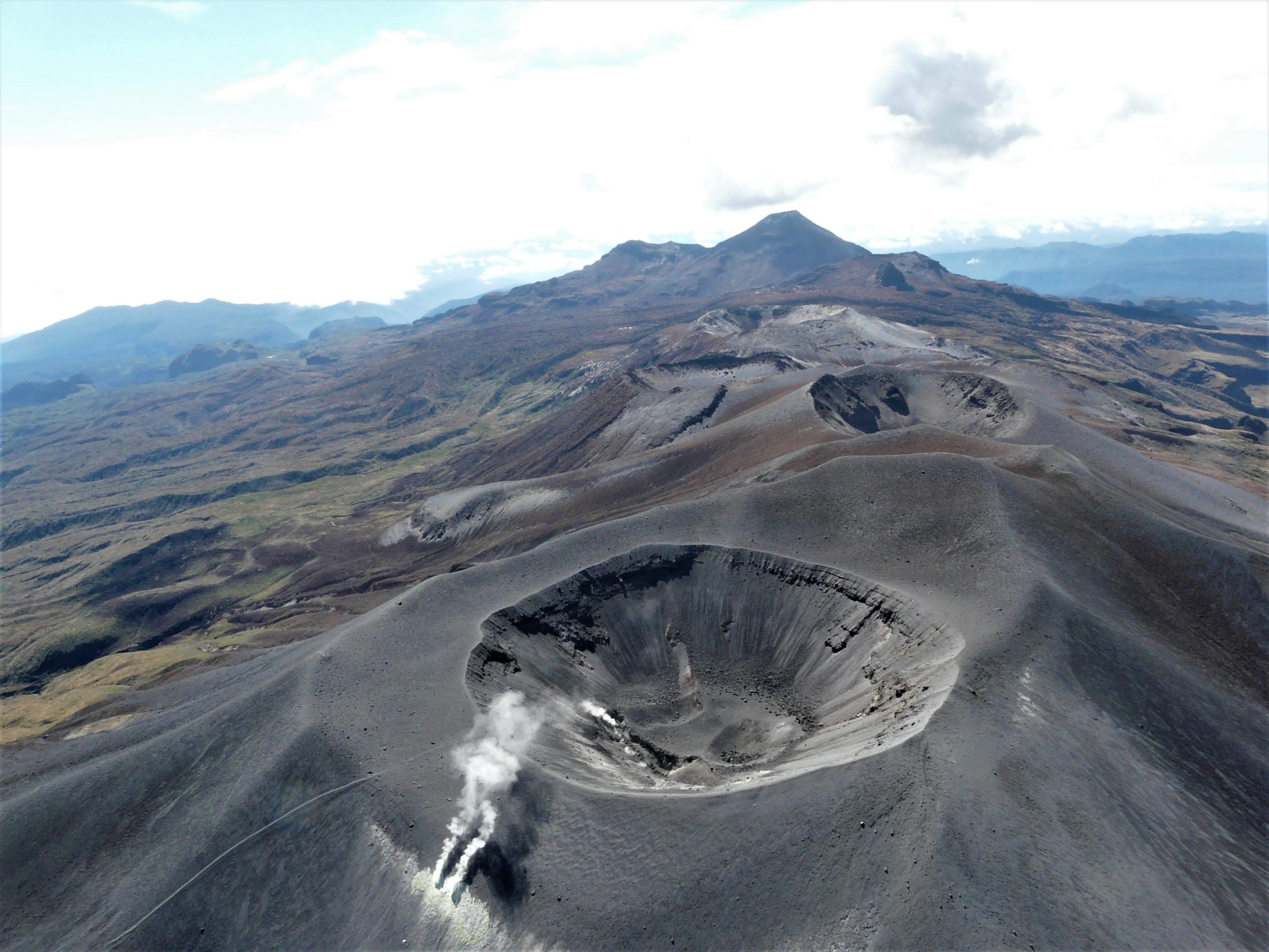
• In the monitoring of surface activity, the images obtained during the week thanks to the Mina, Lavas Rojas and Cerro Sombrero web cameras showed degassing of the volcanic system, with a white column oriented preferentially towards the North-West.
• Sensors monitoring magnetic and electric fields and infrasonic waves did not record variations associated with changes in volcanic activity.
Therefore, it is concluded that significant variations in volcanic activity continue to be recorded, in accordance with the behavior expected at activity level III (yellow level), which could evolve towards states of greater activity.
Source et photo : SGC
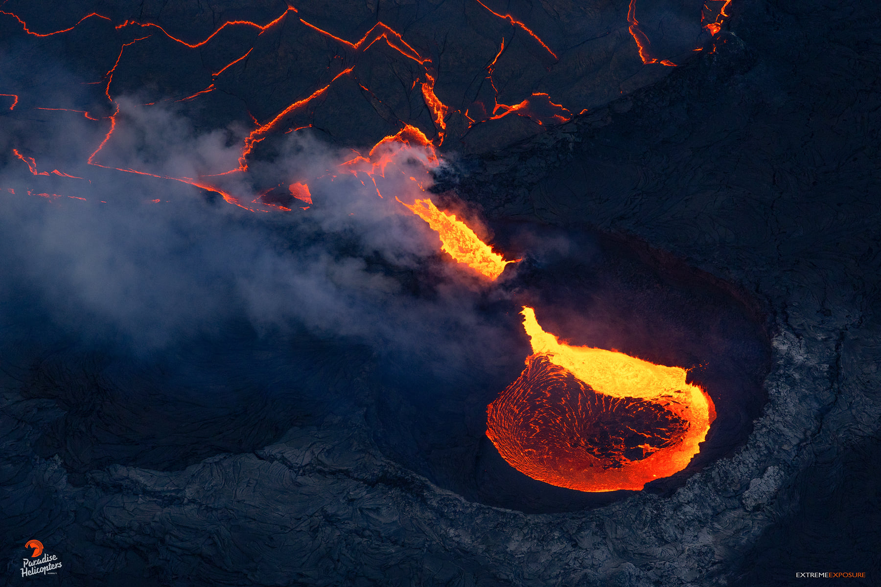
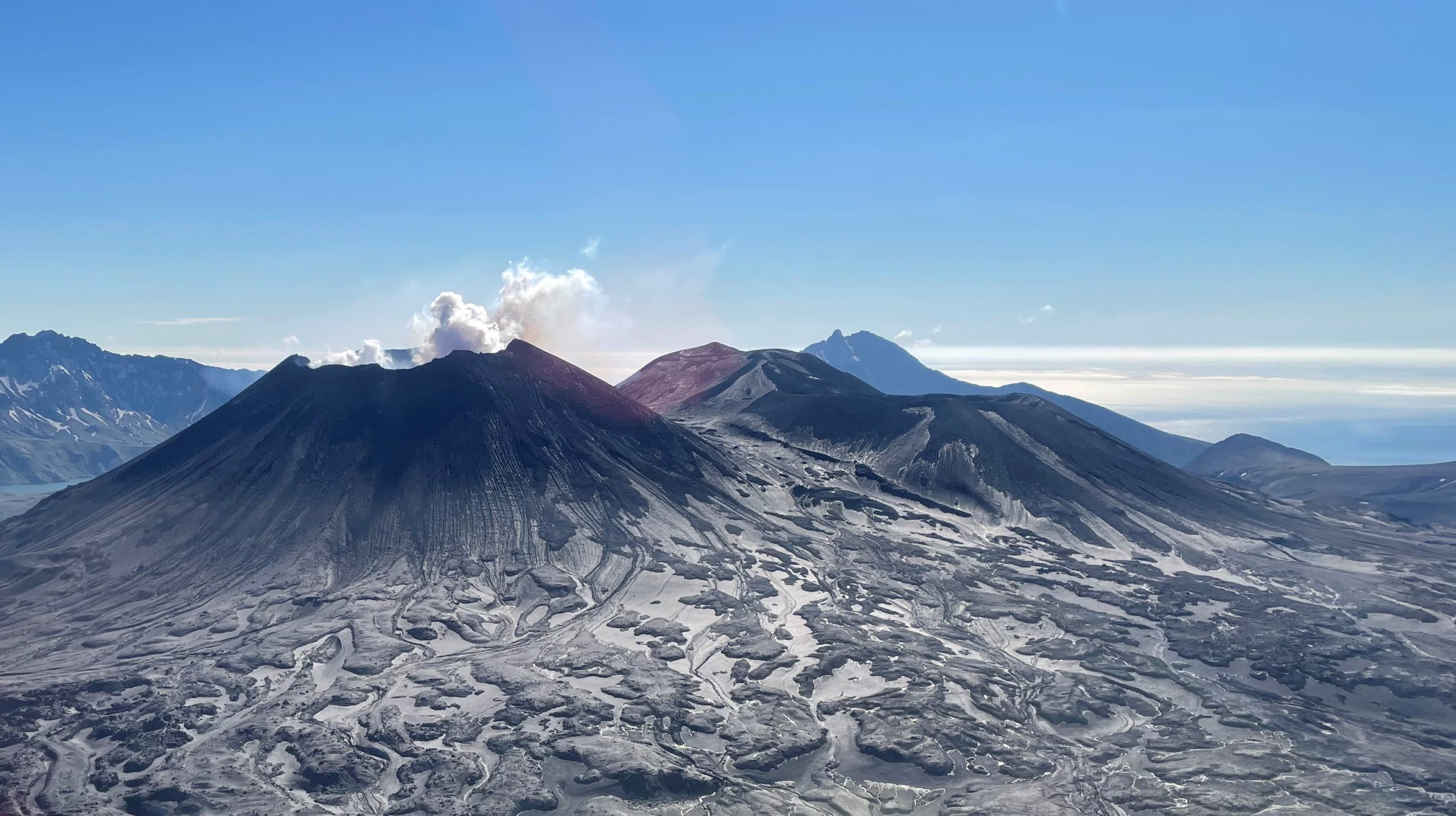
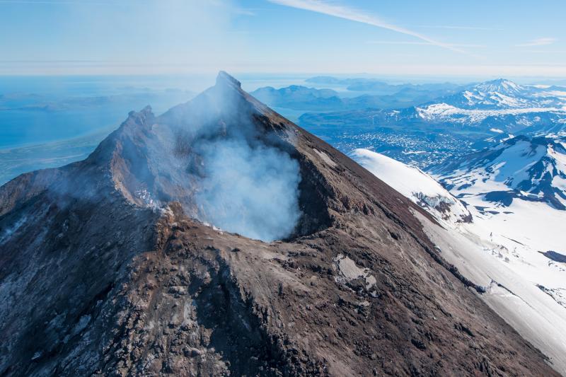
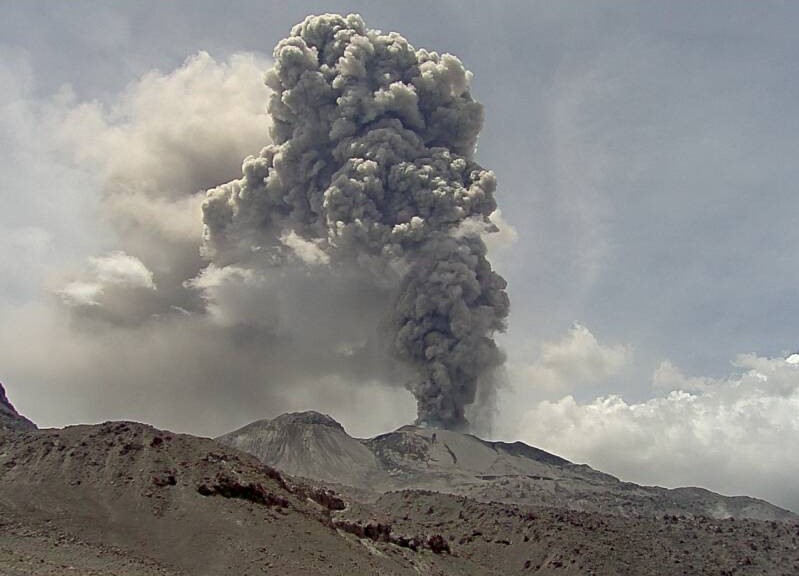
Japan , Suwanosejima :
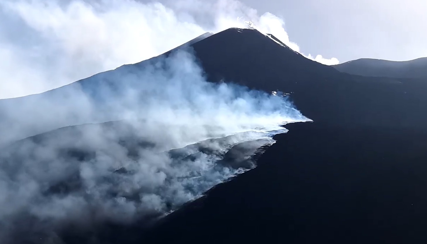
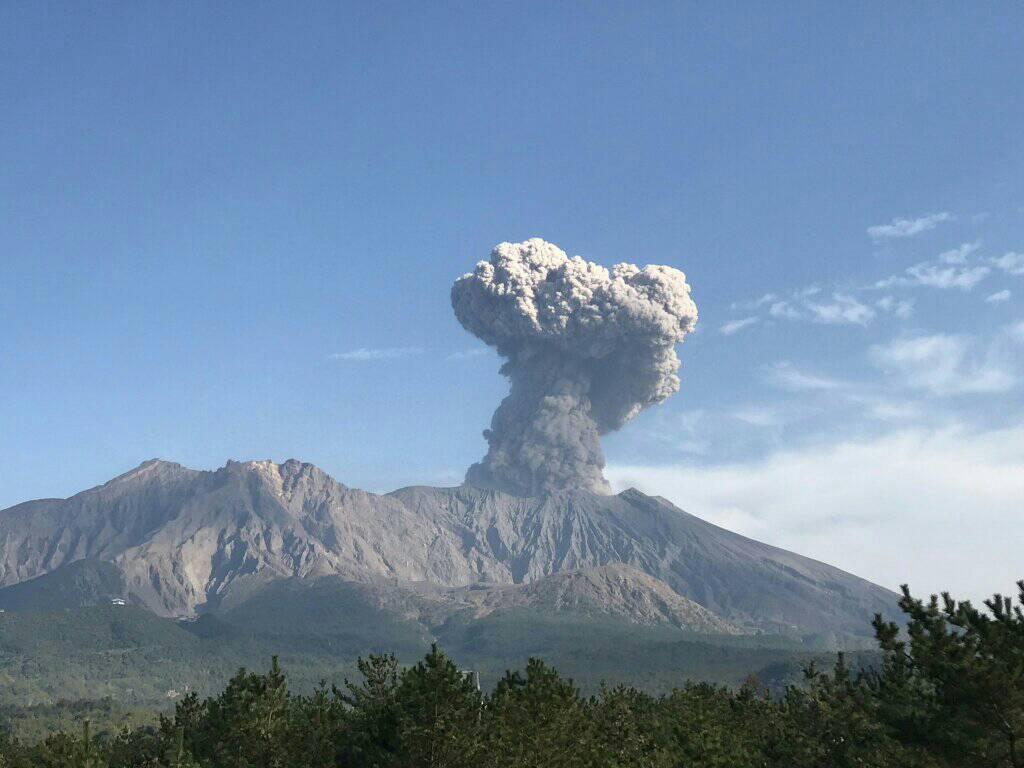
JMA reported that the eruption at Suwanosejima’s Ontake Crater continued during 6-13 June. Crater incandescence was visible at night. One explosion was recorded during 6-10 June, producing a plume that rose 2 km above the crater rim and ejecting material 300 m away from the vent. During 10-13 June eruption plumes rose as high as 1.5 km above the crater rim and material was ejected as far as 300 m from the vent. The Alert Level remained at 3 and the public was warned to stay 2 km away from the crater.
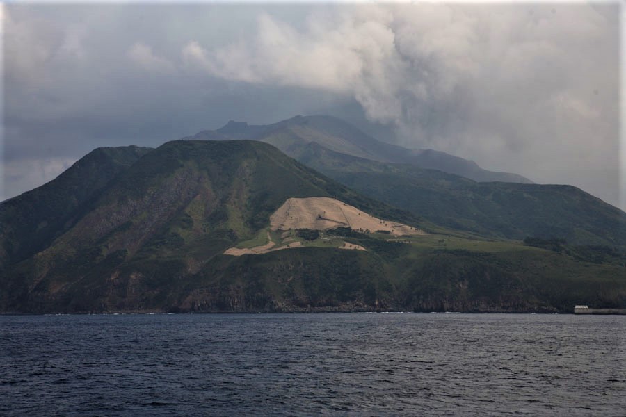
The 8-km-long, spindle-shaped island of Suwanosejima in the northern Ryukyu Islands consists of an andesitic stratovolcano with two historically active summit craters. The summit is truncated by a large breached crater extending to the sea on the east flank that was formed by edifice collapse. Suwanosejima, one of Japan’s most frequently active volcanoes, was in a state of intermittent strombolian activity from Otake, the NE summit crater, that began in 1949 and lasted until 1996, after which periods of inactivity lengthened. The largest historical eruption took place in 1813-14, when thick scoria deposits blanketed residential areas, and the SW crater produced two lava flows that reached the western coast. At the end of the eruption the summit of Otake collapsed forming a large debris avalanche and creating the horseshoe-shaped Sakuchi caldera, which extends to the eastern coast. The island remained uninhabited for about 70 years after the 1813-1814 eruption. Lava flows reached the eastern coast of the island in 1884. Only about 50 people live on the island.
Sources : Agence météorologique japonaise (JMA) , GVP.
Photo : Photovolcanica.
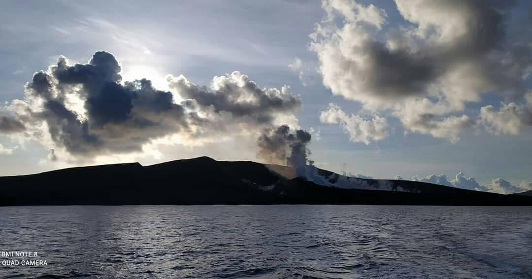
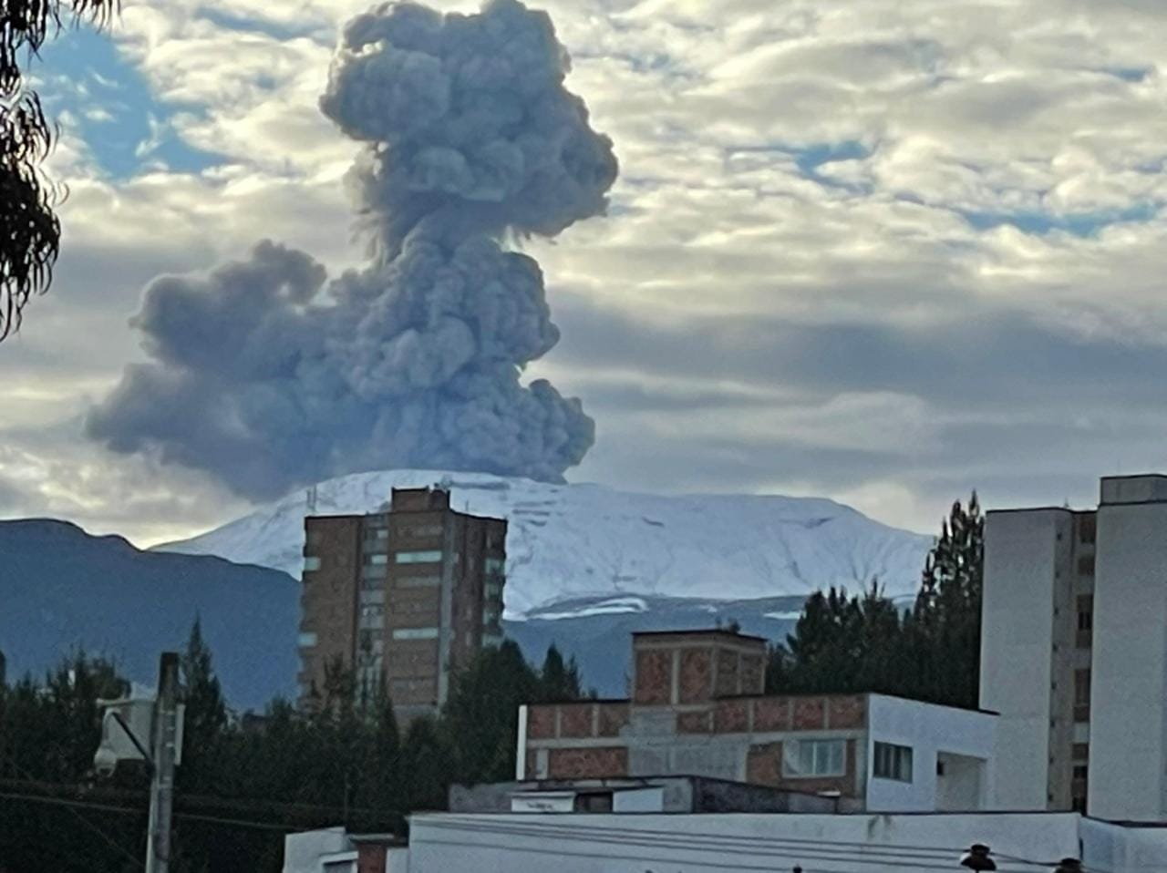
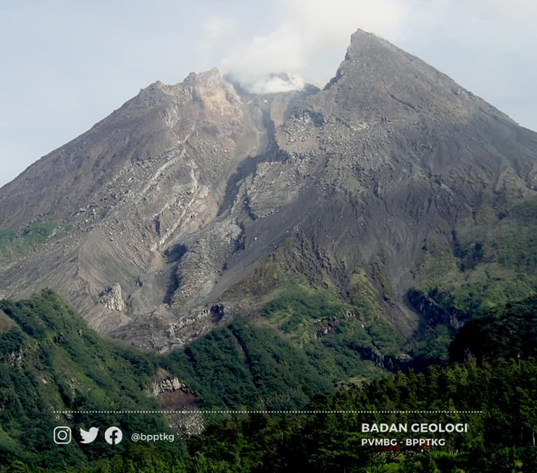
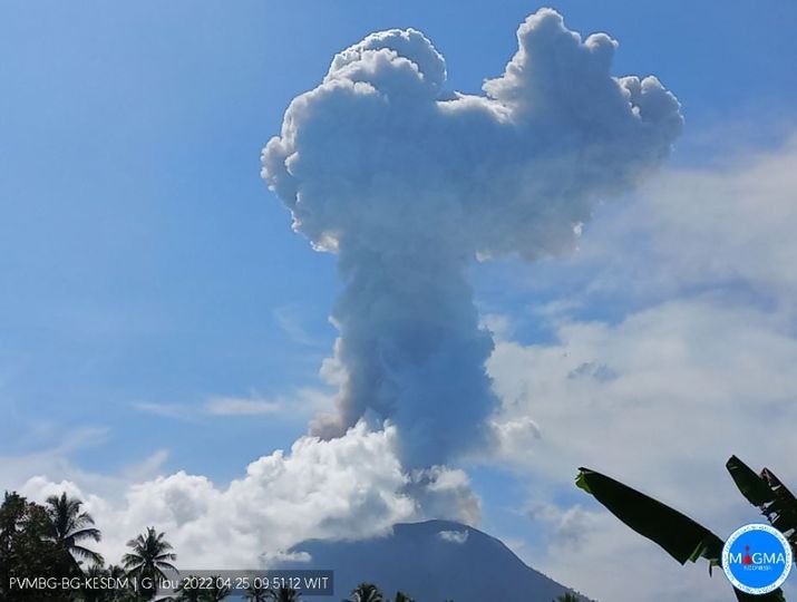
Indonesia , Dukono :
Based on satellite and wind model data, the Darwin VAAC reported that during 8-14 June ash plumes from Dukono rose to 2.1 km (7,000 ft) a.s.l. and drifted NW, W, and SW. The Alert Level remained at 2 (on a scale of 1-4), and the public was warned to remain outside of the 2-km exclusion zone.
SEISMICITY OBSERVATION:
It was recorded:
1 eruption/explosion earthquake with an amplitude of 10 mm and a duration of 27.61 seconds.
2 distant tectonic earthquakes with an amplitude of 14-30 mm, S-P 19.66-22.82 seconds and a duration of 63.02-72.37 seconds.
1 continuous tremor with an amplitude of 0.5-2 mm, dominant value 2 mm.
Reports from this remote volcano in northernmost Halmahera are rare, but Dukono has been one of Indonesia’s most active volcanoes. More-or-less continuous explosive eruptions, sometimes accompanied by lava flows, occurred from 1933 until at least the mid-1990s, when routine observations were curtailed. During a major eruption in 1550, a lava flow filled in the strait between Halmahera and the north-flank cone of Gunung Mamuya. This complex volcano presents a broad, low profile with multiple summit peaks and overlapping craters. Malupang Wariang, 1 km SW of the summit crater complex, contains a 700 x 570 m crater that has also been active during historical time.
Sources : Darwin Volcanic Ash Advisory Center (VAAC), Pusat Vulkanologi dan Mitigasi Bencana Geologi (PVMBG, également connu sous le nom de CVGHM), GVP, Magma Indonésie..
Photo : Martin Rietze