May 19 , 2024.
Indonesia , Dukono :
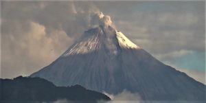
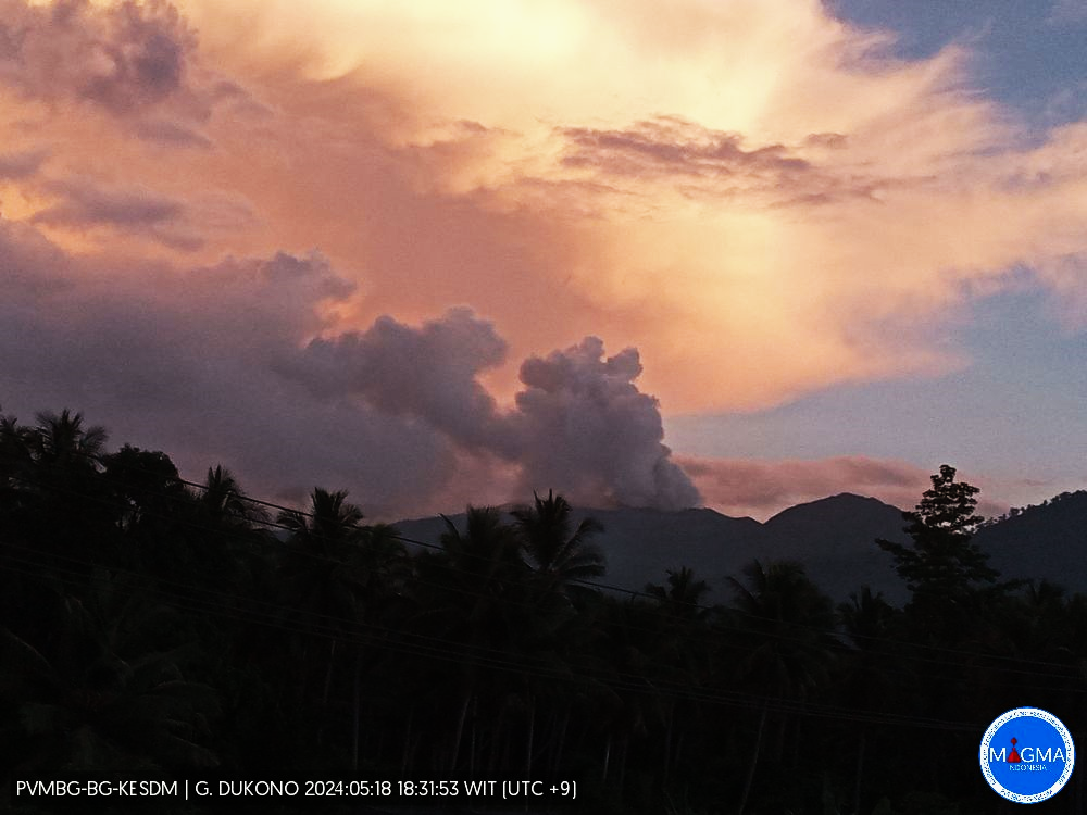
An eruption of Mount Dukono occurred on Sunday, May 19, 2024 at 06:57 WIT with the height of the ash column observed at ±1900 m above the summit (±2987 m above sea level). The ash column was observed to be white to gray in color with thick intensity, oriented towards the East. This eruption was recorded on a seismograph with a maximum amplitude of 20 mm and a duration of 66.93 seconds.
Observation of seismicity:
12 eruption earthquakes with an amplitude of 4 to 20 mm and a seismic duration of 35.28 to 128.1 seconds.
1 local tectonic earthquake with an amplitude of 4 mm, the earthquake lasted 26.5 seconds.
7 deep tectonic earthquakes with an amplitude of 5-20 mm, and earthquake duration 73.36-78.21 seconds.
1 Continuous tremor with an amplitude of 0.5 to 2 mm, dominant value of 1 mm.
RECOMMENDATION
(1) People around Mount Dukono and visitors/tourists are advised not to do activities, climb or approach Malupang Warirang Crater within a 3 km radius.
(2) Considering that eruptions with volcanic ash occur periodically and the distribution of ash follows the direction and speed of the wind, so that the landing area of the ash is not fixed, it is recommended that the community around Mount Dukono always wear masks/noses. and mouth coverings to use when necessary to avoid the threat of volcanic ash to the respiratory system.
Source et photo : Magma Indonésie
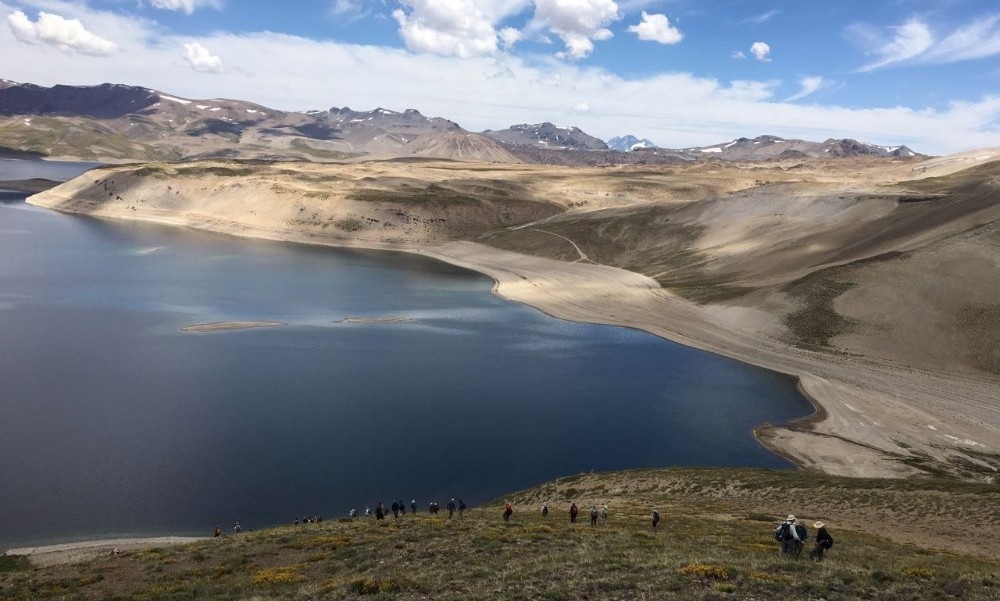
Chile , Laguna del Maule :
Special Report on Volcanic Activity (REAV), del Maule regions, Laguna del Maule volcanic complex, May 17, 2024, 3:10 p.m. local time (mainland Chile)
The National Geology and Mining Service of Chile (Sernageomin) announces the following PRELIMINARY information, obtained through the monitoring equipment of the National Volcanic Monitoring Network (RNVV), processed and analyzed at the Southern Andean Volcano Observatory (Ovdas):
On Thursday, May 17 at 2:49 p.m. (6:49 p.m. UTC), monitoring stations installed near the Laguna del Maule volcanic complex recorded a volcano-tectonic earthquake (associated with fracturing of rocks).
The characteristics of the largest earthquake after its analysis are as follows:
ORIGINAL TIME: 2:49 p.m. local time (6:49 p.m. UTC)
LATITUDE: 36.075° S
LONGITUDE: 70.419°E
DEPTH: 7.6 km
LOCAL MAGNITUDE: 3.2 (ML)
Observation :
The technical volcanic alert is maintained at YELLOW level.
Source : Sernageomin
Photo : auteur inconnu
Colombia , Puracé :
Popayan, May 18, 2024, 5:00 p.m.
Regarding the monitoring of the activity of the PURACE VOLCANO – LOS COCONUCOS VOLCANIC CHAIN, the COLOMBIAN GEOLOGICAL SERVICE (SGC), an entity attached to the MINISTRY OF MINES AND ENERGY, reports that:
From yesterday until the time of publication of this bulletin, the seismic activity associated with fracture processes, as well as that linked to the movement of fluids, maintained a behavior similar to that observed in previous days, with a downward trend the number of earthquakes. The fracture events were located mainly under the crater of the Puracé volcano and, to a lesser extent, on the eastern flank. Depths were between 0 and 2.2 km. The maximum magnitude calculated was 1.2 ML, corresponding to an earthquake recorded yesterday at 8:54 p.m.

Seismicity linked to the movement of fluids continues to be concentrated in the crater sector and on its northern flank, at depths less than 3 km.
In the images obtained this morning, it was not possible to have a clear view of the crater. Ground deformation processes and the concentrations of carbon dioxide (CO2) and sulfur dioxide (SO2) gases maintain the observed trend, with values that remain above the known baselines for this volcano.
The SGC confirms that the alert state of the PURACÉ VOLCANO continues in ORANGE: volcano with significant changes in the monitored parameters.
Source et photo : SGC
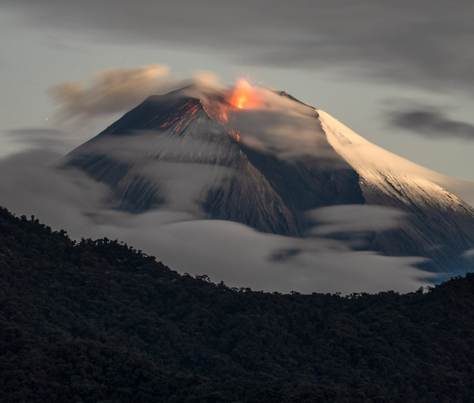
Ecuador , Sangay :
DAILY REPORT ON THE STATE OF THE SANGAY VOLCANO, Saturday May 18, 2024.
Information Geophysical Institute – EPN.
Surface activity level: High, Surface trend: Descending
Internal activity level: High, Internal trend: No change
Seismicity: From May 17, 2024, 11:00 a.m. to May 18, 2024, 11:00 a.m.:
Below is the count of seismic events recorded at the reference station:
Explosion (EXP) 163
Precipitation/Lahars:
Since yesterday afternoon, no rain has been recorded in the volcano area. **Heavy rains could remobilize accumulated material, generating mud and debris flows that would flow down the volcano’s flanks and flow into adjacent rivers.
Emissions/ash column:
Due to the weather conditions, it was possible to observe only a low ash gas emission in the southwest direction and at a height of 1000 meters above the crater level, thanks to the network of cameras of monitoring. For its part, the Washington VAAC has not issued any emission reports for this volcano over the last 24 hours.
Gas :
The Mounts satellite system has not recorded sulfur dioxide (SO2) values over Sangay in the last 24 hours.
Observation:
From yesterday afternoon until the close of this report, the volcano remained completely cloudy.
Alert level: yellow
Source : IGEPN
Photo : Robinsky ( archive).
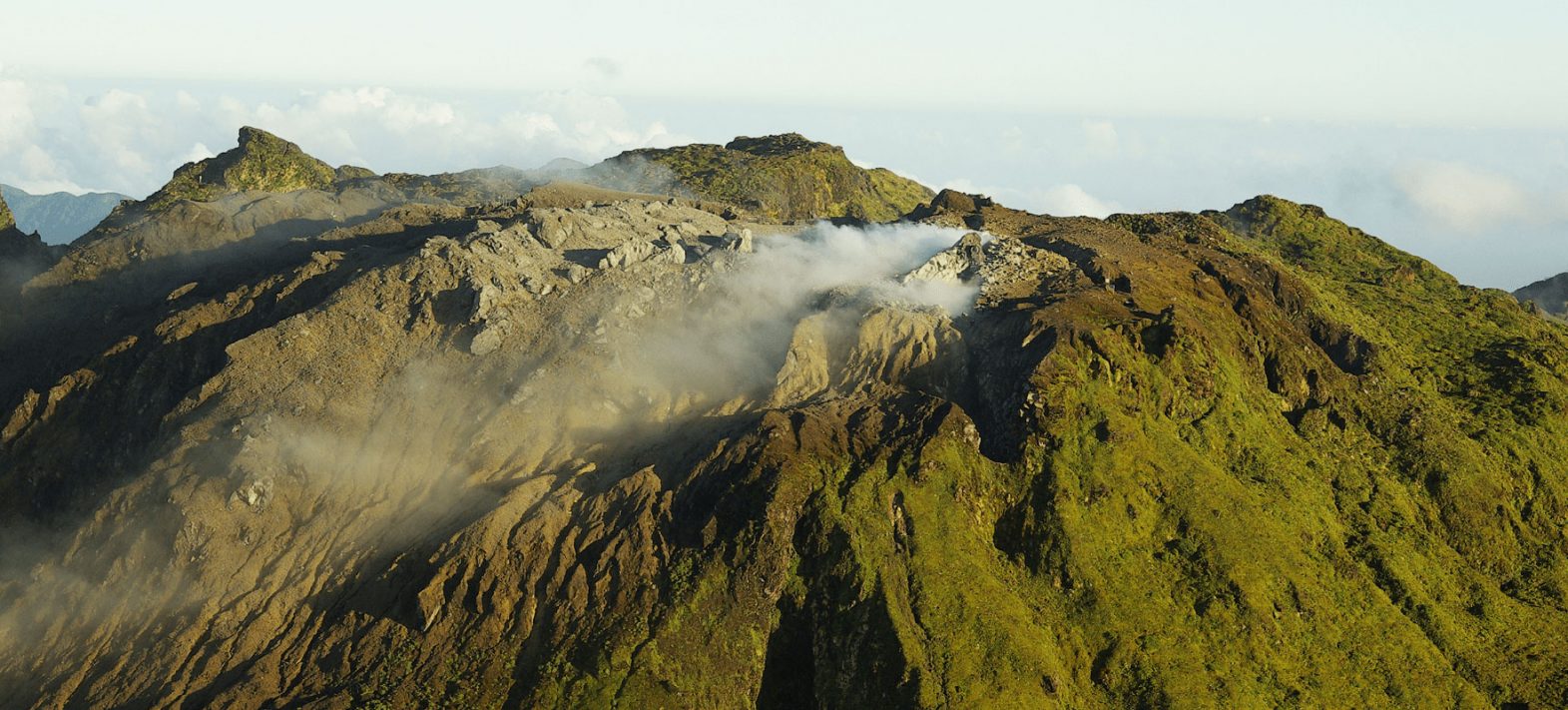
La Guadeloupe , La Soufrière :
Volcanic activity release.
Sequence of earthquakes in the La Soufrière area of Guadeloupe – Basse Terre
A sequence of earthquakes located above the volcano began on Wednesday May 15, 2024 at 7:30 p.m. local time (Wednesday May 15, 2024 at 11:30 p.m. UT) in the area of the La Soufrière volcano.
Since then, the OVSG-IPGP networks have recorded 133 earthquakes of very low magnitude (M < 1). No earthquakes were reported felt. The events are located at a depth of <2.5 km below the summit of the La Soufrière dome.
Soufrière de Guadeloupe is an active explosive volcano having experienced numerous magmatic and phreatic eruptions in the past.
Since 1992, its seismic, fumarolic, thermal and surface deformation activity has continued a fluctuating but generally increasing regime, which results in a strong activity of the hydrothermal system (circulations and interactions of gas, steam and water under excess pressure in the porous rock and fractured).
The alert level remains: yellow, vigilance.
Source et photo : Direction de l’OVSG-IPGP