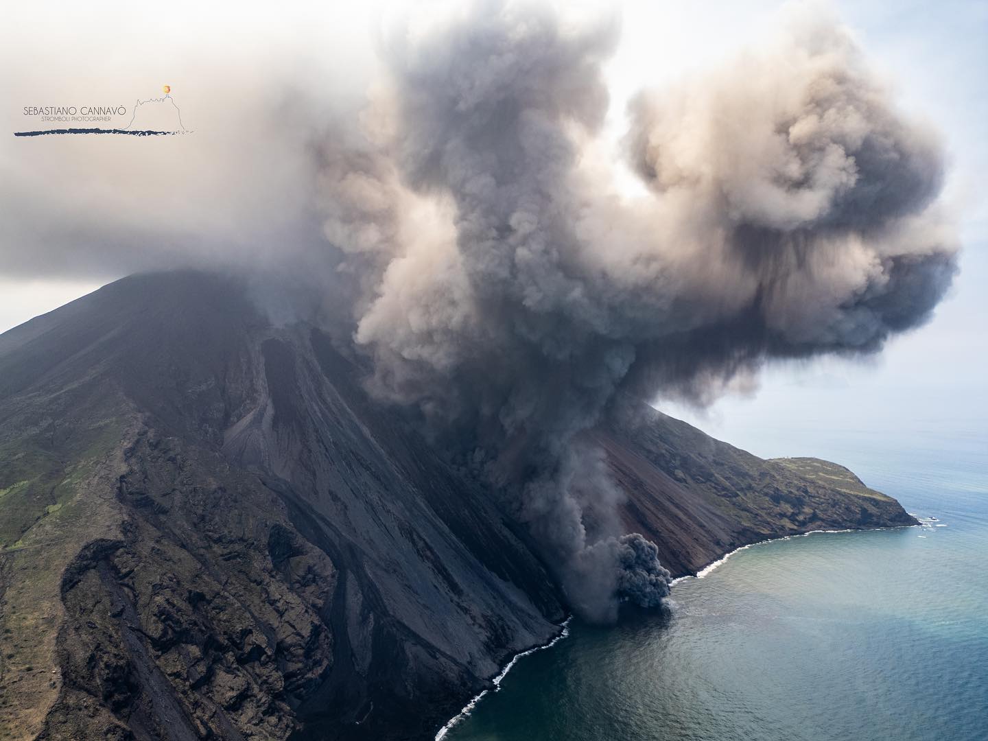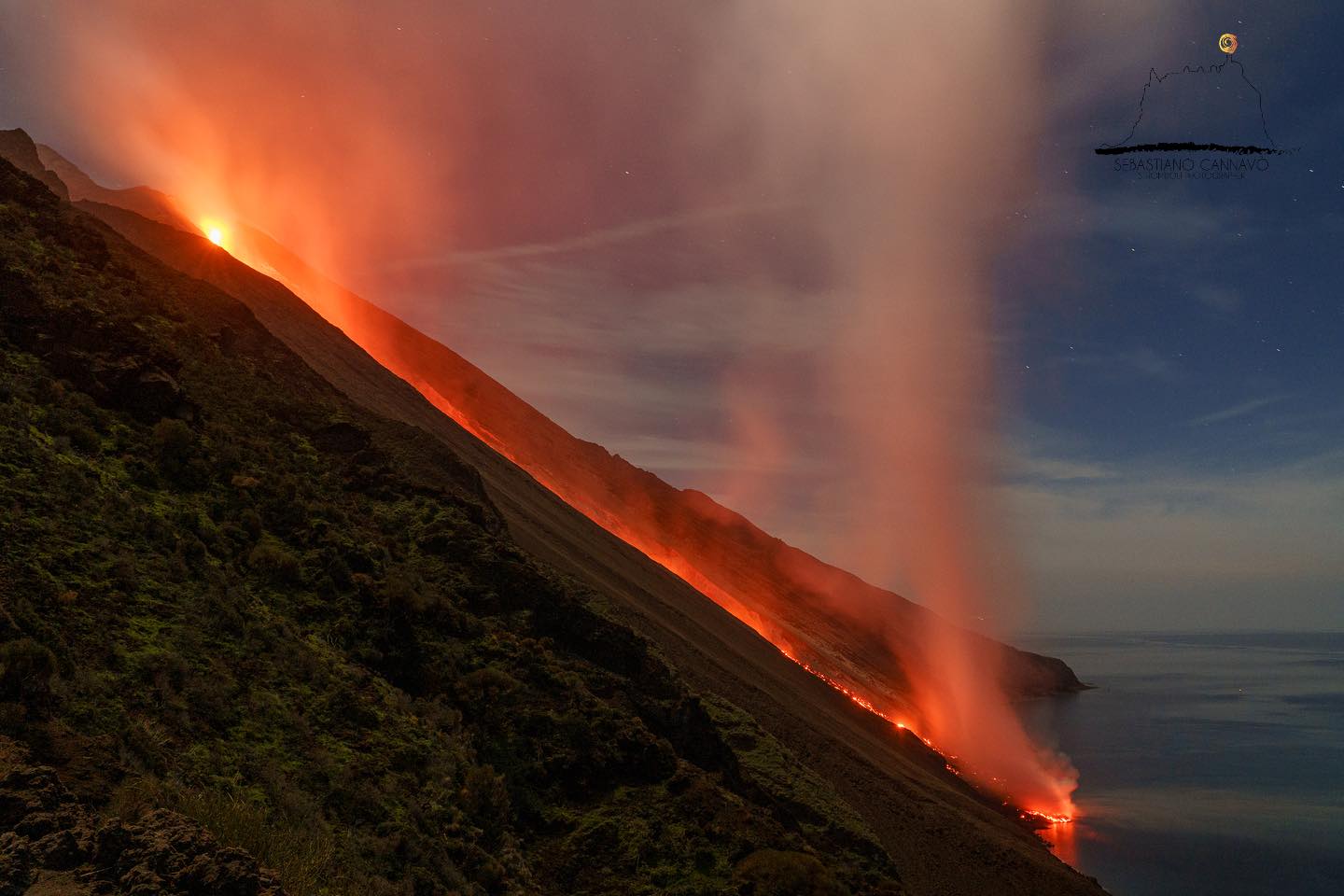
July 24, 2024. EN. Italy / Sicily : Etna , Hawaii : Kilauea , Italy : Stromboli , United States : Yellowstone , Iceland : Reykjanes Peninsula .
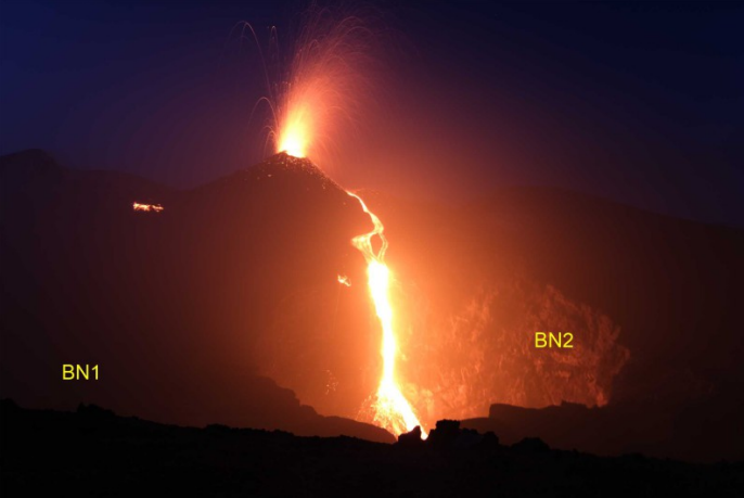
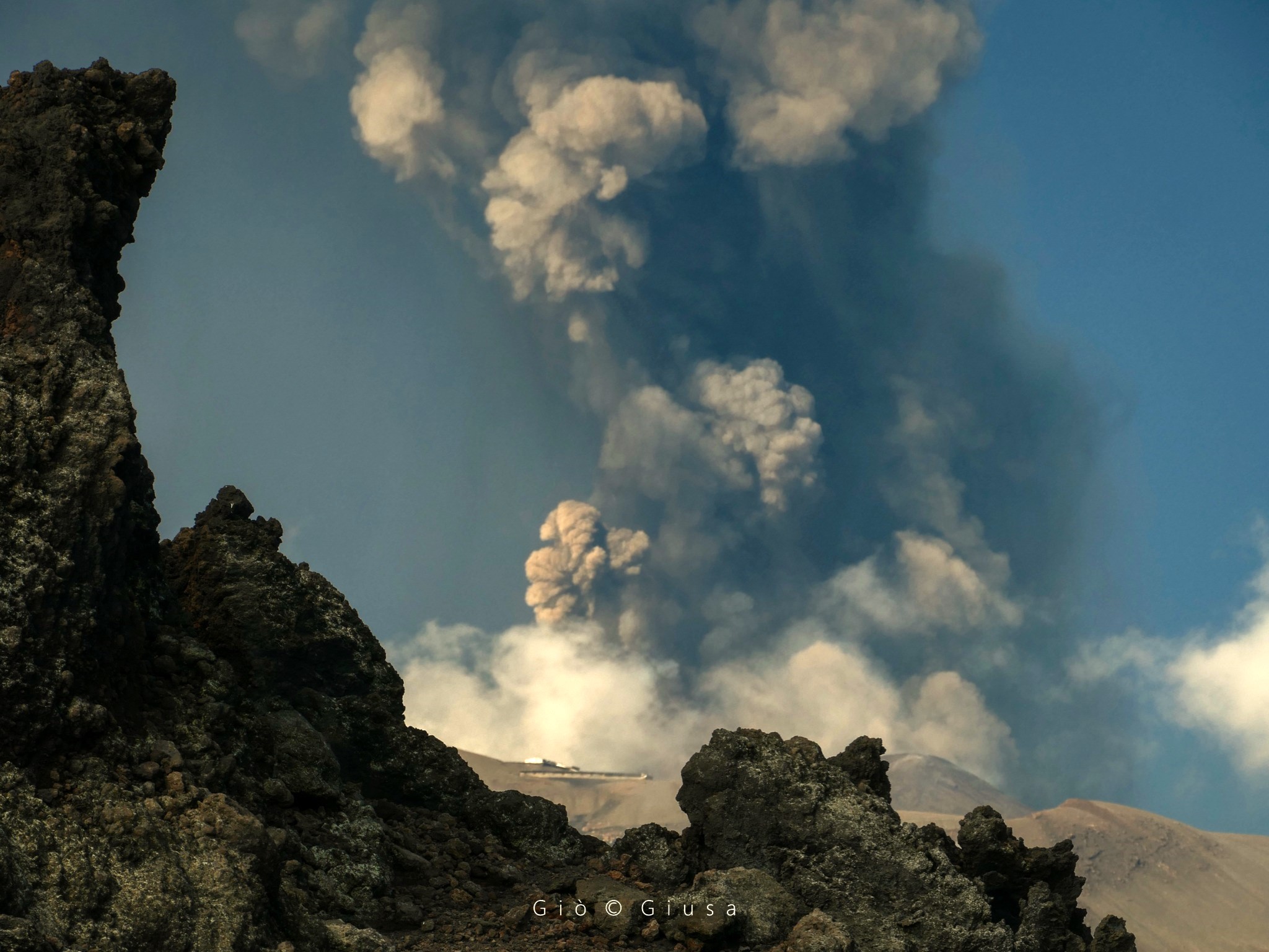
July 24 , 2024. Italy / Sicily , Etna : Press release on the activity of Etna, July 23, 2024, 4:01 p.m. (2:01 p.m. UTC). The National Institute of…