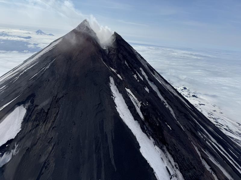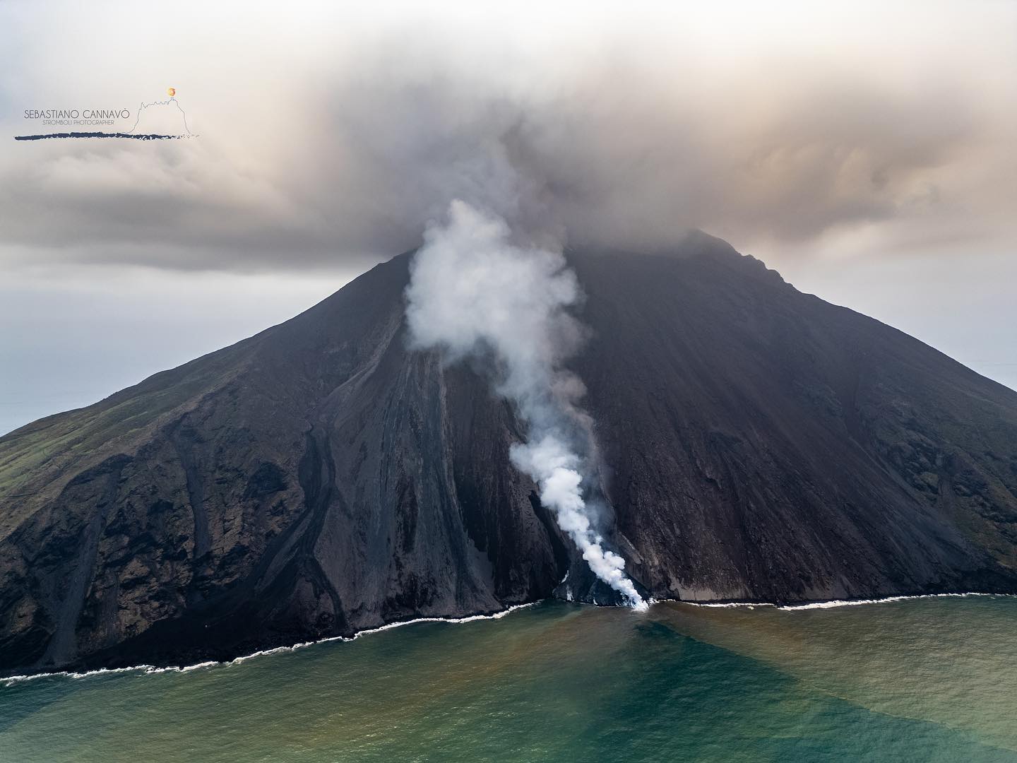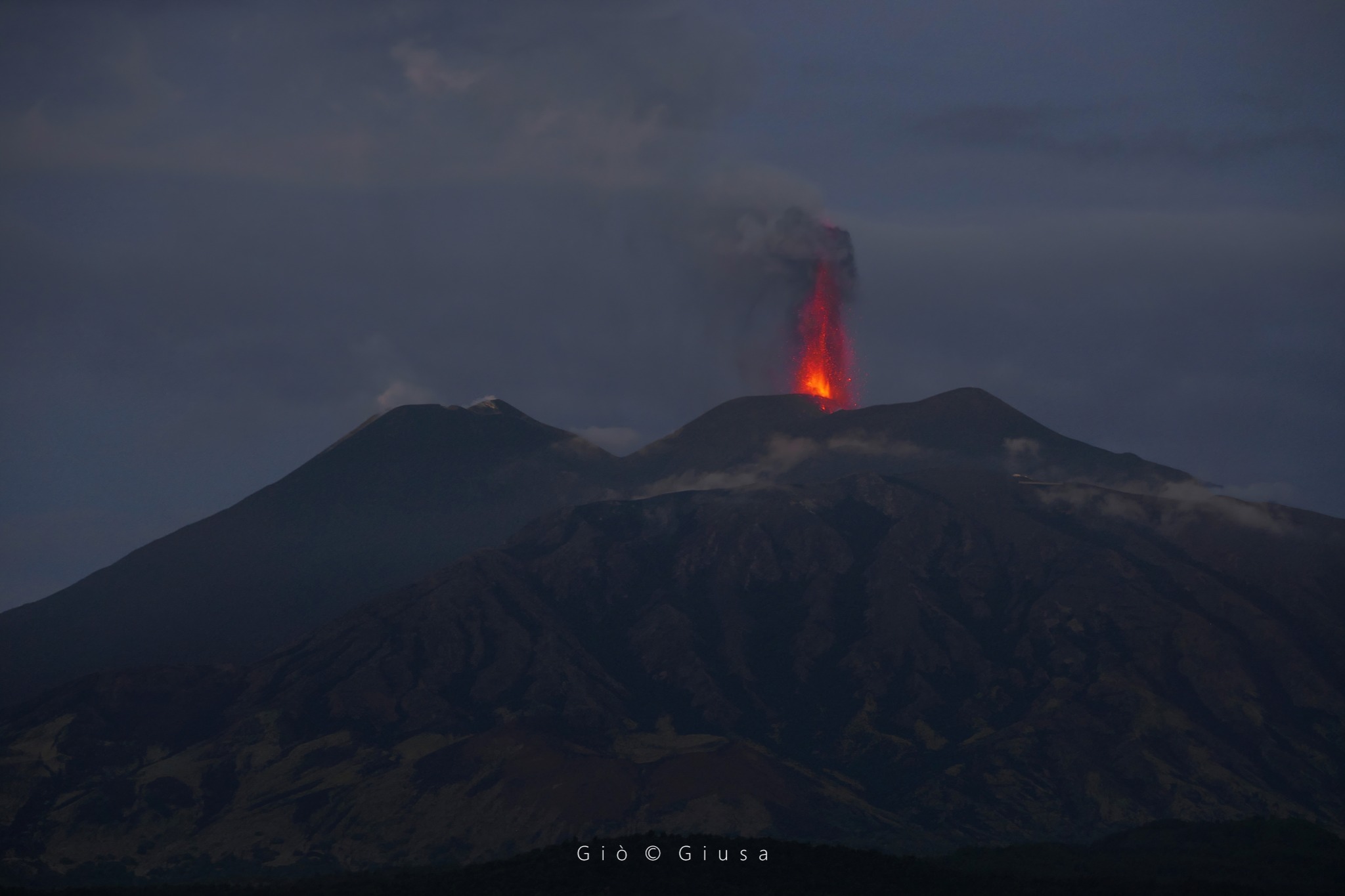
July 23, 2024. EN. Italy / Sicily : Etna , Indonesia : Ibu , Chile : Villarica , Kamchatka : Bezymianny , New Zealand : White Island .
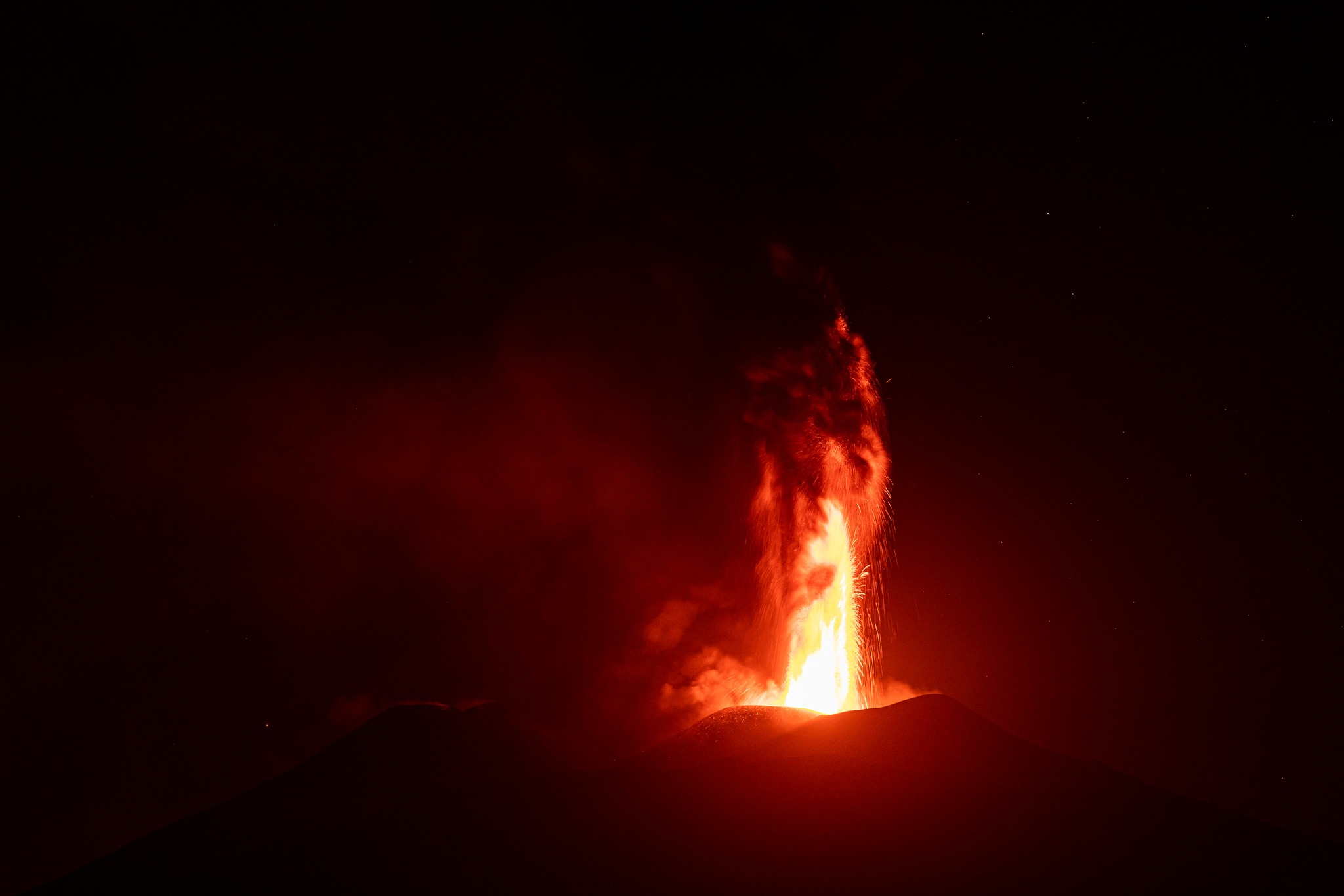
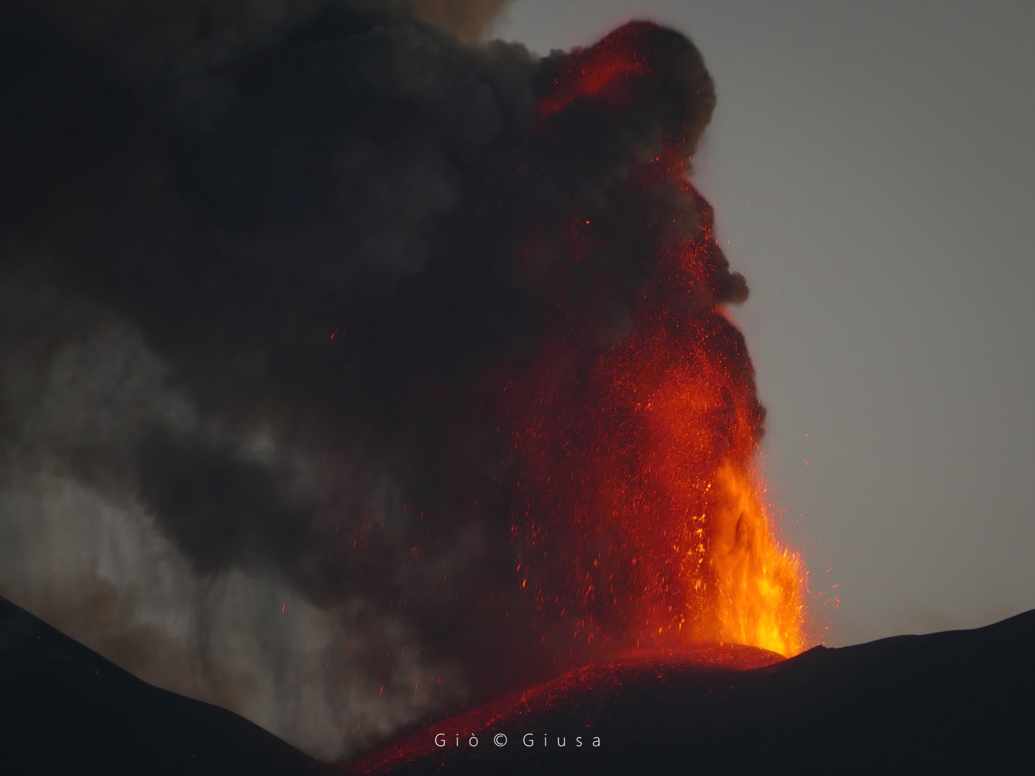
July 23 , 2024. Italy / Sicily , Etna : Press release on the activity of Etna, July 22, 2024, 7:20 p.m. (5:20 p.m. UTC). The National Institute of…