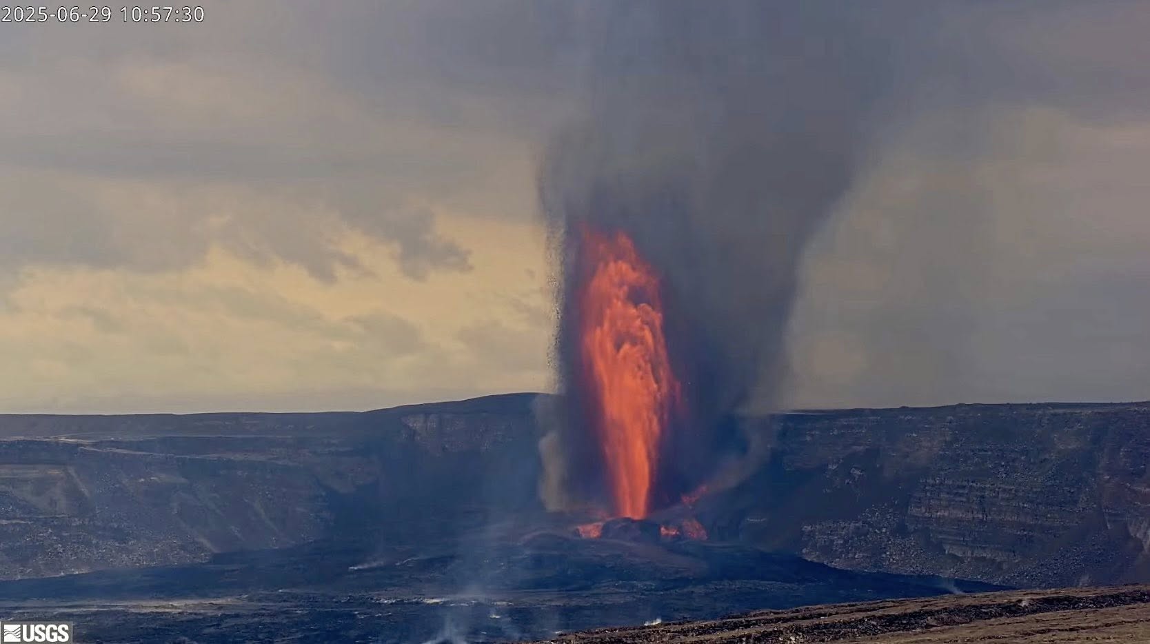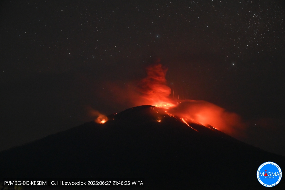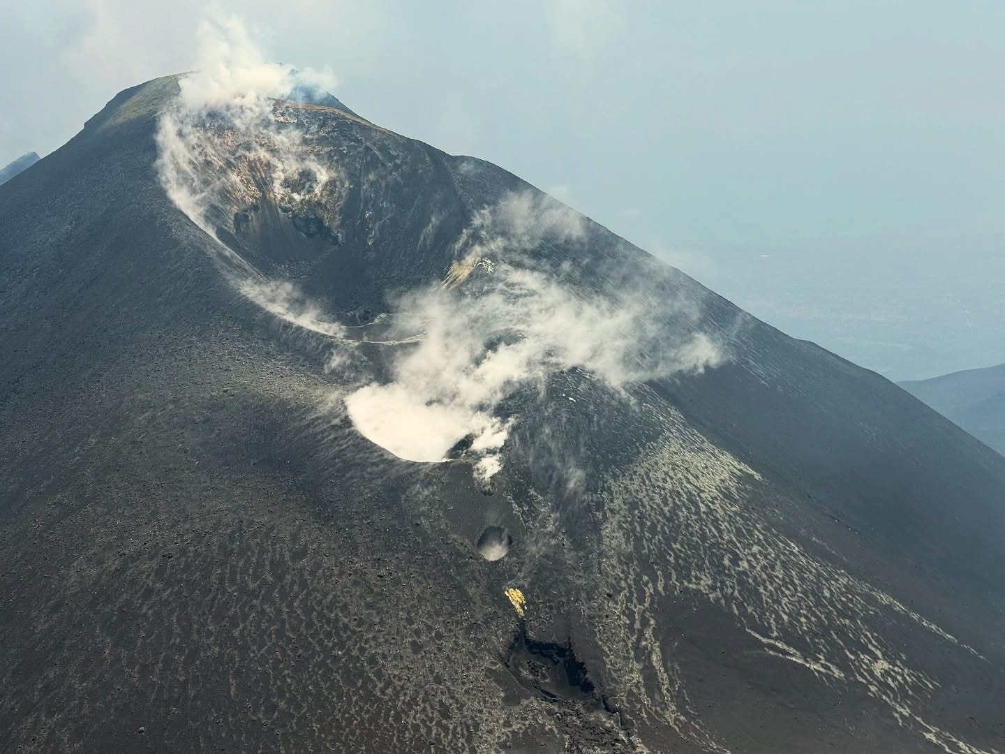
July 2, 2025. EN. Italy / Sicily : Etna , Italy : Stromboli , Alaska : Iliamna , United States : Yellowstone , Colombia : Chiles / Cerro Negro .
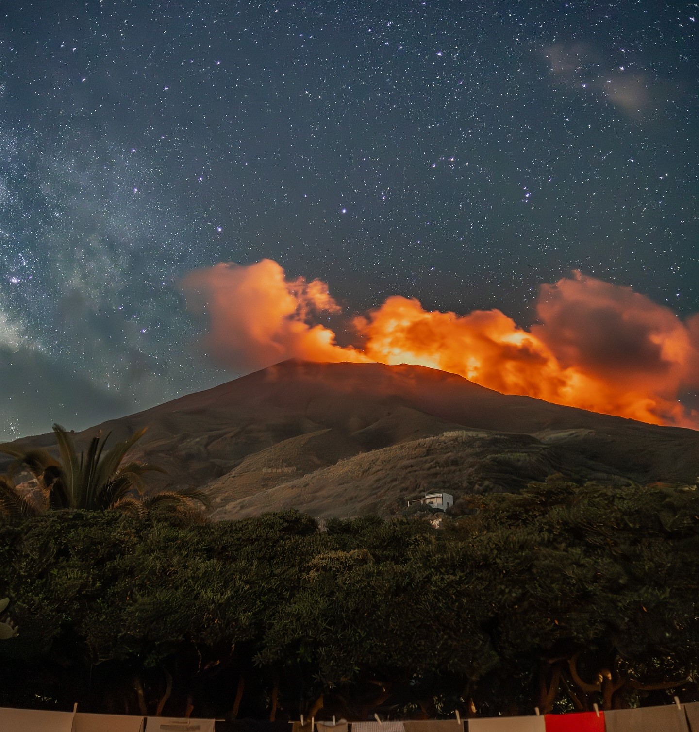
July 2 , 2025. Italy / Sicily , Etna : WEEKLY BULLETIN, from June 23, 2025 to June 29, 2025 (publication date: July 1, 2025) ACTIVITY STATUS SUMMARY Based…