January 06 , 2023.
Hawaii , Kilauea :
Thursday, January 5, 2023, 8:09 PM HST (Friday, January 6, 2023, 06:09 UTC)
19°25’16 » N 155°17’13 » W,
Summit Elevation 4091 ft (1247 m)
Current Volcano Alert Level: WARNING
Current Aviation Color Code: RED
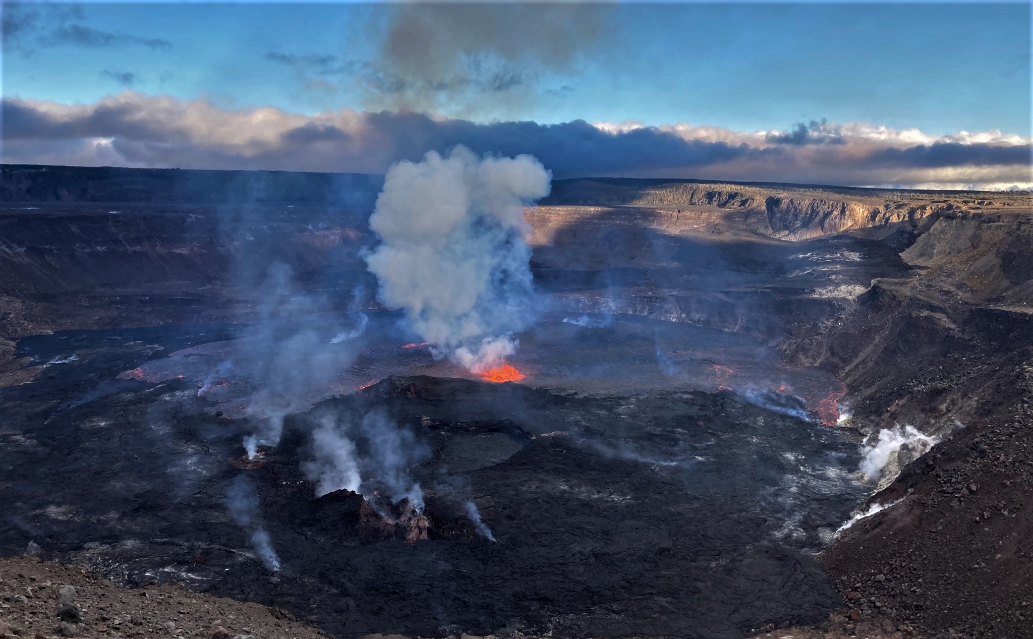
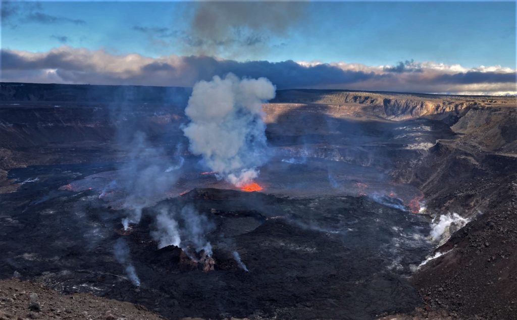
The summit eruption of Kīlauea that began within Halemaʻumaʻu crater just after 4:30 p.m. HST today, January 5, 2023, continues at this time. All activity is confined to Kīlauea summit region, within Hawai‘i Volcanoes National Park. There are no indications of activity migrating out of the summit region.
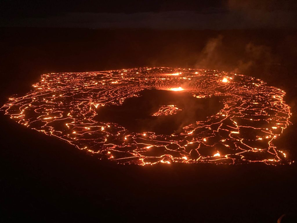
Multiple minor fountains are active in the central eastern portion of Halema‘uma‘u crater floor; the largest lava fountain is consistently about 10 meters (32 feet) high. Fountain bursts up to 30 meters (98 feet) high occurred around 7:45 p.m. and there were several bursts up to 50 meters (164 feet) high during the initial part of the eruption. Lava flows have inundated much of the crater floor (which is nearly 300 acres or 120 hectares). As of approximately 7:30 p.m. about 10 meters (32 feet) depth of new lava had been added to the crater floor.
Summit tilt switched from inflation to deflation around 5 p.m. HST. Following the eruption onset, summit earthquake activity greatly diminished and eruptive tremor (a signal associated with fluid movement) resumed. Volcanic gas emissions in the eruption area are elevated.
Kīlauea’s volcano alert level and aviation color code will remain at WARNING/RED as this eruption and associated hazards are evaluated overnight.
The summit eruption of Kīlauea has not had an impact on Mauna Loa. Mauna Loa remains quiet.
Source : HVO
Photos : USGS.
Philippines , Mayon :
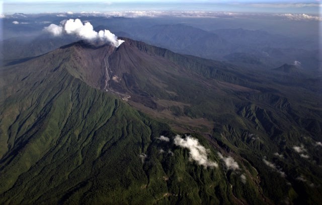
MAYON VOLCANO BULLETIN 06 January 2023 8:00 AM
In the past 24-hour period, the Mayon Volcano Network recorded four (4) volcanic earthquakes. Moderate emission of white steam-laden plumes that crept downslope before drifting west-northwest was observed. Sulfur dioxide (SO2) emission was last measured at an average of 477 tonnes/day on 08 December 2022. Based on ground deformation parameters from EDM, Precise Leveling, electronic tilt, and continuous GPS monitoring, Mayon Volcano has been slightly inflated since 2020.
Alert Level 2 (Increased Unrest) prevails over Mayon Volcano. The public is reminded that there is current unrest driven by shallow magmatic processes that could eventually lead to phreatic eruptions or even precede hazardous magmatic eruptions. Entry into the six (6) kilometer-radius Permanent Danger Zone (PDZ) is strictly prohibited to minimize risks from sudden explosions, rockfalls, and landslides. In case of ash fall events that may affect communities downwind of Mayon’s crater, people should cover their nose and mouth with a damp, clean cloth, or dust mask. Civil aviation authorities must also advise pilots to avoid flying close to the volcano’s summit as ash from any sudden eruption can be hazardous to aircraft.
DOST-PHIVOLCS maintains close monitoring of Mayon Volcano and any new development will be communicated to all concerned stakeholders.
Source : Phivolcs
Photo : Czar Dancel / Manila Bulletin
Ecuador , Sangay / Reventador :
DAILY REPORT OF THE STATE OF SANGAY VOLCANO, Thursday January 05, 2023.
Information Geophysical Institute – EPN.
Surface Activity Level: High, Surface Trend: No change
Internal activity level: High, Internal trend: No change.
Seismicity: From January 04, 2023, 11:00 a.m. to January 05, 2023, 11:00 a.m.:
There was no interruption in the transmission of data from the reference station (SAGA).
Explosion (EXP) 42
Emission Tremors (TREMI ) 12
Long Periods (LP): 25
Rains / Lahars:
Rains were recorded which did not generate lahars.
Emission / Ash Column:
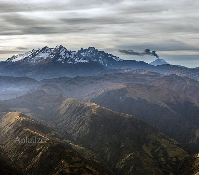
The Washington VAAC issued 3 statements of ash emissions with a height of up to 1100 meters above the summit in a West-Northwest direction
Other Monitoring Parameters:
The FIRMS system records 5 thermal alerts and MIROVA-MODIS records 1 moderate thermal alert in the last 24 hours.
Observation:
Most of the time, the area remained cloudy without allowing visual observations of surface activity.
Alert level: Orange.
——————————————————————————————————————————————–
DAILY REPORT OF THE STATE OF THE REVENTADOR VOLCANO, Thursday January 05, 2023.
Information Geophysical Institute – EPN.
Surface Activity Level: Moderate, Surface Trend: No change
Internal activity level: Moderate, Internal trend: No change.
Seismicity: From January 04, 2023, 11:00 a.m. to January 05, 2023, 11:00 a.m.:
The seismic statistics were carried out at the REVS seismic station, which did not present any interruptions in the transmission of data.
Explosion (EXP): 36
Long periods (LP): 20
Emission Tremors (TREMI): 5
Rains / Lahars:
There are no reports of rain in the area.
Emission / Ash Column:
The Washington VAAC reported an emission up to 980 meters above crater level in a southerly direction.
Other Monitoring Parameters:
No thermal anomalies were recorded in the satellite systems.
Observation:
Due to the cloudiness of the area, there are no observations of the surface activity of the volcano.
Alert level: Orange.
Source : IGEPN.
Photos : Jorge Anhalzer , Patricio Ramon, 2005 (Instituto Geofisca, Escuela Politecnica Nacional).
Alaska , Cleveland :
AVO/USGS Volcanic Activity Notice
Current Volcano Alert Level: UNASSIGNED
Previous Volcano Alert Level: ADVISORY
Current Aviation Color Code: UNASSIGNED
Previous Aviation Color Code: YELLOW
Issued: Thursday, January 5, 2023, 11:09 AM AKST
Source: Alaska Volcano Observatory
Notice Number: 2023/A21
Location: N 52 deg 49 min W 169 deg 56 min
Elevation: 5676 ft (1730 m)
Area: Aleutians
Volcanic Activity Summary:
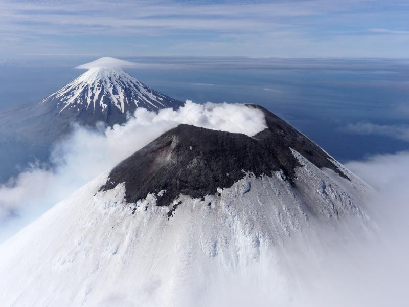
A sustained reduction of volcanic unrest at Cleveland Volcano over the past few months has prompted the Alaska Volcano Observatory to downgrade the Aviation Color Code and Volcano Alert Level from YELLOW/ADVISORY to UNASSIGNED/UNASSIGNED.
Elevated surface temperatures and sulfur dioxide emissions prompted raising the Aviation Color Code and Volcano Alert Level from UNASSIGNED/UNASSIGNED to YELLOW/ADVISORY on May 11, 2022. This activity continued throughout the summer, but all signs of unrest have ceased or declined in recent months. Elevated surface temperatures in the summit crater are occasionally being observed but at reduced frequency and strength. Sulfur dioxide emissions have not been detected in satellite data since July 29, 2022. The last eruptive activity at Cleveland volcano was a short-lived explosion on the evening (local time) of June 1, 2020.
Despite the current pause, the eruptive period at Cleveland, dating back to 2001, remains ongoing and future explosions are likely. These occur without warning and typically generate small clouds of volcanic ash that are a hazard in the immediate vicinity of the volcano, though more significant ash emissions are possible.
Cleveland volcano is monitored with a limited real-time seismic network. This smaller network inhibits AVO’s ability to detect precursory unrest that may lead to an explosive eruption. Rapid detection of an ash-producing eruption may be possible using a combination of seismic, infrasound, lightning, and satellite data.
Source : AVO
Photo : Herstand, Malcolm / Alaska Volcano Observatory / Alaska Division of Geological & Geophysical Surveys
Russia / Kuril Islands , Ebeko :
50.69 N, 156.01 E;
Elevation 1156 m (3792 ft)
Aviation Colour Code is ORANGE
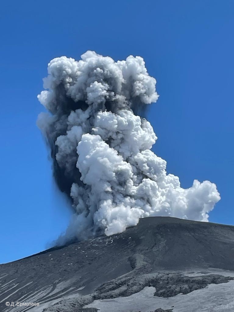
The moderate explosive eruption of the volcano continues. Ash explosions up to 6 km (19,700 ft) a.s.l. could occur at any time. Ongoing activity could affect low-flying aircraft and airport of Severo-Kurilsk.
The moderate explosive eruption of the volcano continues. According to visual data by volcanologists from Severo-Kurilsk, explosions sent ash up to 4 km a.s.l. on 31 December, and 01-05 January; ash clouds moved to the northeast and east of the volcano. Satellite data by KVERT showed a thermal anomaly over the volcano 03-04 January; an ash cloud moved for 12 km to the northeast of the volcano on 04 January.
Source : Kvert
Photo : D. Ermolaev

