June 02 , 2020.
Iceland , Reykjanes Peninsula :
Seismic activity on Reykjanes peninsula
Seismic activity close to Grindavík increased on May 30th, and around 300 earthquakes were located there that day. The largest earthquake was of magnitude M2.7, and an earthquake of magnitude M2.5 was felt in Grindavík. Seismic activity had decreased on Reykjanes peninsula in recent weeks. Last week (20th to 27th of May) around 120 earthquakes were located there.
New data were acquired/processed on 26th of May, which include InSAR, GPS and radon measurements. These new observations indicate subtle sign of slow re-inflation in the vicinity of Þorbjörn. A longer time series of data is needed to better constrain the ongoing process and evaluate the associated hazards.
Uncertainty phase that Civil Protections declared due to this activity is still in force.
Source : Vedur Is .
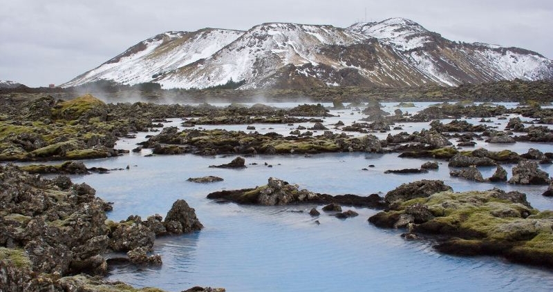
Photo : Ferlir .
La Réunion , Piton de la Fournaise :
Seismicity:
In May 2020, the OVPF recorded in the Piton de la Fournaise massif in total:
18 superficial volcano-tectonic earthquakes (0 to 2.5 km deep) under the summit craters;
2 deep earthquakes (2.5 to 5 km deep);
202 collapses (in the Crater Dolomieu and at the ramparts of the Enclosure Fouqué and the Rivière de l’Est).
Seismicity under the Piton de la Fournaise during May 2020 remained low with on average less than one surface volcano-tectonic earthquake per day. Two deep earthquakes were recorded under the eastern flank about 2.5 km below sea level.
Deformation:
Inflation (swelling) of the building which had resumed following the end of the eruption of 2-6 April 2020 stopped at the end of April. Since then, very slight deflation has been recorded.
Assessment:
Magma replenishment and pressurization of the surface magmatic reservoir that had resumed following the end of the April 26 eruption ceased at the end of April. At the same time, seismicity remained low in May, with less than one earthquake per day recorded under the summit craters. Note that since 2016, replenishments of the surface magmatic reservoir under the Piton de la Fournaise have been done in pulses, so such phases of lull in deformations and seismicity have already been observed several times between 2016 and 2019 over periods ranging from about 15 to 80 days.
Source : OVPF.
Read the whole article : http://www.ipgp.fr/sites/default/files/ovpf_20200602_bullmensu_final.pdf
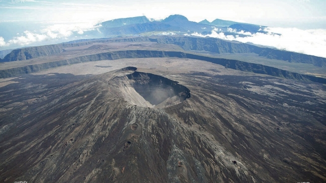
Photo : IPR.
Peru , Sabancaya :
Analysis period: May 25 to 31, 2020. Arequipa, June 1, 2020
Alert level: ORANGE
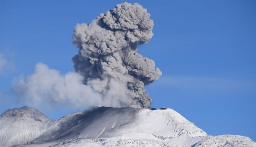
The Geophysical Institute of Peru (IGP) reports that the eruptive activity of the Sabancaya volcano remains at moderate levels; that is to say with the continuous recording of explosions with columns up to 2 km high above the summit of the volcano and consequent emissions of ash and gas. Consequently, for the following days, no significant change is expected concerning the eruptive activity.
The IGP recorded and analyzed the occurrence of approximately 414 earthquakes of volcanic origin, associated with the circulation of fluids (magma, gas, etc.) on the Sabancaya volcano (Arequipa region). In addition, 14 low to medium intensity explosions were recorded on average daily. The monitoring of the deformation of the volcanic structure, using GNSS data (processed with fast orbits), does not present any significant anomalies; however, since May 23, slight inflation of the southeast flank and the northern sector of the Sabancaya has been recorded, probably linked to the eruptive activity of the volcano. Visual surveillance made it possible to identify columns of gas and ash up to 2 km high above the summit of the volcano, which were dispersed towards the east and southeast sectors of the Sabancaya. Satellite surveillance identified the presence of 8 thermal anomalies with values between 2 MW and 15 MW, associated with the presence of a body of lava on the surface of the crater of the volcano.
RECOMMENDATIONS
• Keep the orange volcanic alert level.
• Do not approach within a radius of less than 12 km from the crater.
In case of ash fall, cover your nose and mouth with rags or wet masks. Keep doors and windows of houses closed.
Source : IGP Peru .
Photo : Ingemmet.
United States , Yellowstone :
44°25’48 » N 110°40’12 » W,
Summit Elevation 9203 ft (2805 m)
Current Volcano Alert Level: NORMAL
Current Aviation Color Code: GREEN
Recent work and news
Thanks to the reopening of Yellowstone National Park, it has been possible to accomplish installations of monitoring equipment and maintenance work during the month of May. This has included the deployment of 15 temporary GPS stations to monitor ground deformation across the Park. These stations have been installed everey summer for the past decade and will be recovered in October, before the onset of the harsh Yellowstone winter. Maintenance was also done on the Norris Geyser Basin temperature-monitoring network.
Steamboat Geyser continues to be active, with five water eruptions in the past month, on May 8, 14, 19, 23, and 31. This brings the total number of eruptions for the year to 17.
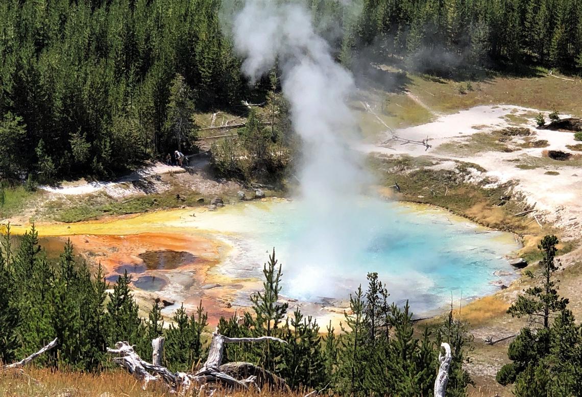
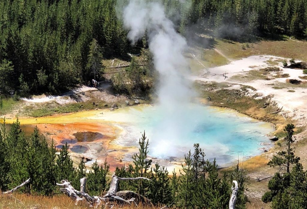
Imperial Geyser hot spring pool in Yellowstone National Park is about 30 m (about 100 ft) across and contains alkaline-Cl waters with a steam vent in the pool and mudpots outside the pool area (in the upper right part of this photo). USGS Photo by Pat Shanks, 2019.
Seismicity
During May 2020, the University of Utah Seismograph Stations, responsible for the operation and analysis of the Yellowstone Seismic Network, located 288 earthquakes in the Yellowstone National Park region. The largest event was a minor earthquake of magnitude 3.1 located 5 miles west of Norris Junction in Yellowstone National Park on May 29 at 4:39 AM MDT.
Three swarms occurred in the same area as the M3.1 earthquake, about 5 miles west of Norris Junction. A swarm spanning May 4–5 included 12 events, another during May 22–23 included 39 events, and May 29–30 included 100 earthquakes, one of which was the aforementioned largest of the month. The magnitude range for all of these swarms was from -0.2 to 3.1.
An additional swarm of 80 earthquakes was located about 10 miles north-northeast of West Yellowstone, MT, on May 9–11. The magnitude range for this swarm was -0.6 to 2.0.
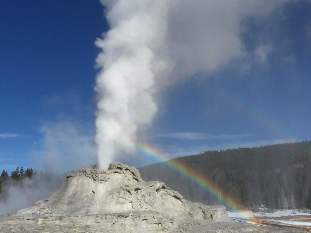
View of Castle Geyser, near Old Faithful, in eruption, taken from the boardwalk, November 5, 2019.
Earthquake sequences like these are common and account for roughly 50% of the total seismicity in the Yellowstone region.
Yellowstone earthquake activity remains at background levels.
Ground deformation :
The overall deformation style and rate at Yellowstone remains unchanged since the last update. Subsidence of Yellowstone caldera, which has been ongoing since 2015, continues at an average rate of 2-3 cm (about 1 in) per year. In the area of Norris Geyser Basin, little deformation has been detected by a nearby GPS station since the start of 2020.
Source : YVO.
Read the whole article : https://www.usgs.gov/natural-hazards/volcano-hazards/volcano-updates#yvo
Photos : Pat Shanks. Shaul Hurwitz / USGS.
Chile , Nevados of Chillan :
Special volcanic activity report (REAV), region of the Nevados de Chillán volcanic complex, on May 31, 2020 at 7:35 p.m. local time (mainland Chile).
The National Geological and Mining Service of Chile (Sernageomin) discloses the following PRELIMINARY information, obtained with the monitoring equipment of the National Volcanic Monitoring Network (RNVV), processed and analyzed at the South Andes Volcanological Observatory (OVDAS ):
On Sunday May 31, 2020 at 7:09 p.m. local time (11:09 p.m. UTC), the monitoring stations installed near the Nevados de Chillán volcanic complex recorded an earthquake associated with the fracturing of rocks inside the volcanic system (volcano-tectonic type ).
The characteristics of the LP earthquake are as follows:
TIME OF ORIGIN: 7:09 p.m. local time (11:09 p.m. UTC).
LATITUDE: 36 877 ° S
LONGITUDE: 71.376 ° W
DEPTH: 2.6 km
LOCAL MAGNITUDE: 3.0 Ml
OBSERVATIONS:
During this event, no surface activity was recorded.
The volcanic technical alert is maintained at the YELLOW level.
Source : Sernageomin .
Photo : Radio universidad de chile

