September 20 , 2020.
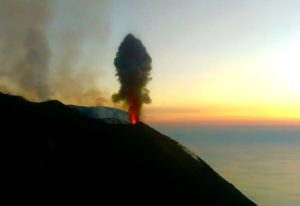
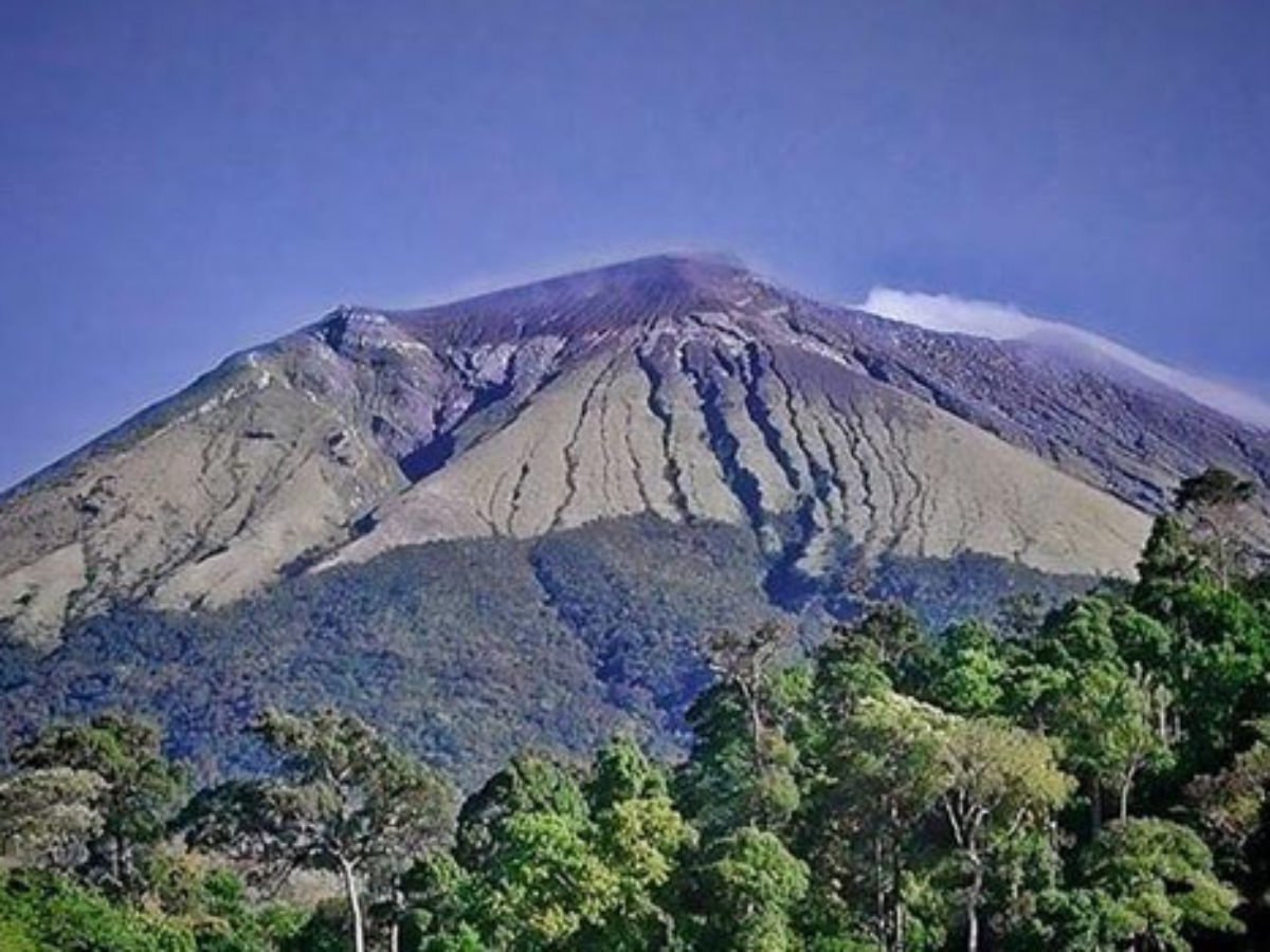
Philippines , Kanlaon :
KANLAON VOLCANO BULLETIN: 20 September 2020 08:00 A.M.
Kanlaon Volcano’s monitoring network recorded seventeen (17) volcanic earthquakes during the 24-hour observation period. Moderate emission of white steam-laden plumes that rose 300 meters before drifting southwest was observed. Sulfur dioxide (SO2) emission was measured at an average of 416 tonnes/day on 14 September 2020. Ground deformation data from continuous GPS measurements indicate slight inflation of the lower and mid slopes since May 2020, while short-term electronic tilt monitoring on the southeastern flanks recorded inflation on the lower to mid slopes that began on 21 June 2020. These parameters may indicate hydrothermal or magmatic processes occurring beneath the edifice.
DOST-PHIVOLCS would like to remind the public that Kanlaon Volcano is at Alert Level 1, which means that it is at an abnormal condition and has entered a period of unrest. The local government units and the public are strongly reminded that entry into the 4-kilometer radius Permanent Danger Zone (PDZ) must be strictly prohibited due to the further possibilities of sudden and hazardous steam-driven or phreatic eruptions. Civil aviation authorities must also advise pilots to avoid flying close to the volcano’s summit as ejecta from any sudden phreatic eruption can be hazardous to aircraft.
DOST-PHIVOLCS is closely monitoring Kanlaon Volcano’s activity and any new development will be relayed to all concerned.
Source : Phivolcs.
Photo : Vigattin Tourism
Indonesia , Anak Krakatau :
Level of activity at level II (Waspada), since March 25, 2019. Anak Krakatau (157 m above sea level) has increased its volcanic activity since June 18, 2018, which was followed by ‘a series of eruptions between September 2018 and February 2019. The last eruption occurred on April 17, 2020. with an unobserved eruption column height.
The volcano is covered in fog. Observations with CCTV cameras installed on the volcanic island did not make it possible to note the fumes from the crater. The weather is sunny to cloudy, with weak winds to the West and Northwest.
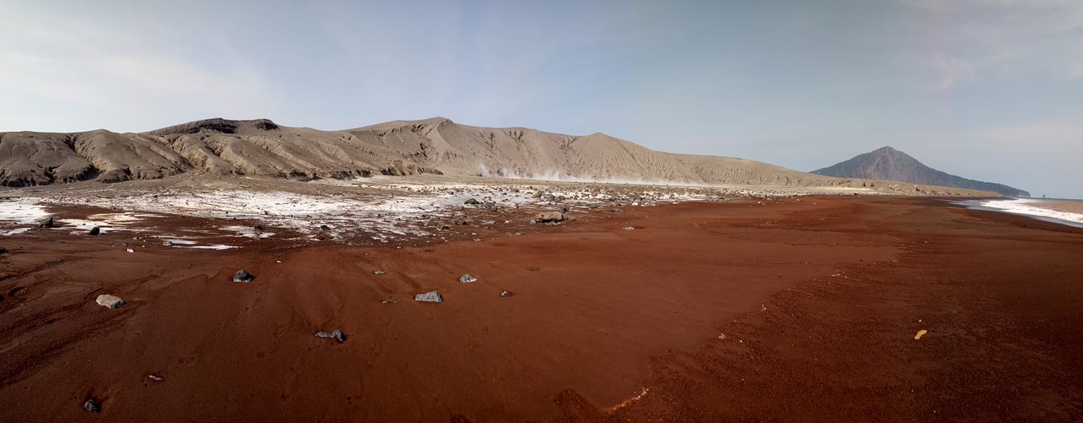
Anak Krakatau. The red sand comes from the oxidized iron of ancient lava flows
According to the seismographic records of September 19, 2020, it was noted:
– 10 low frequency earthquakes
-1 deep volcanic earthquake
– Continuous tremor, amplitude 1-7 mm (dominant value of 2 mm)
Recommendation:
The public / tourists are not allowed to approach the crater within a radius of 2 km.
VONA:
The last VONA message sent with the color code ORANGE, was published on April 17, 2020 at 5:51:00 PM WIB. The rash had not been observed.
Source : PVMBG.
Photo : Igan S. Sutawijaya.
Colombia , Galeras :
Weekly activity bulletin of the Galeras volcano
The activity of the volcano continues at YELLOW LEVEL ■ (III): CHANGES IN THE BEHAVIOR OF VOLCANIC ACTIVITY.
From the monitoring of the activity of VOLCAN GALERAS, the COLOMBIAN GEOLOGICAL SERVICE (SGC) reports that:
For the period of September 8 to 14, 2020 and compared to the previous weekly period, the seismic activity recorded a decrease in its occurrence and the energy released. The predominance of the seismicity associated with the rock fracture has been maintained, localized in a dispersed manner in various sectors of the volcanic building, at epicentral distances between 4 and 17 km and with depths less than 9 km from the summit (level of reference 4200 m above sea level). Local magnitudes ranged up to M 1.5 on the Richter scale.
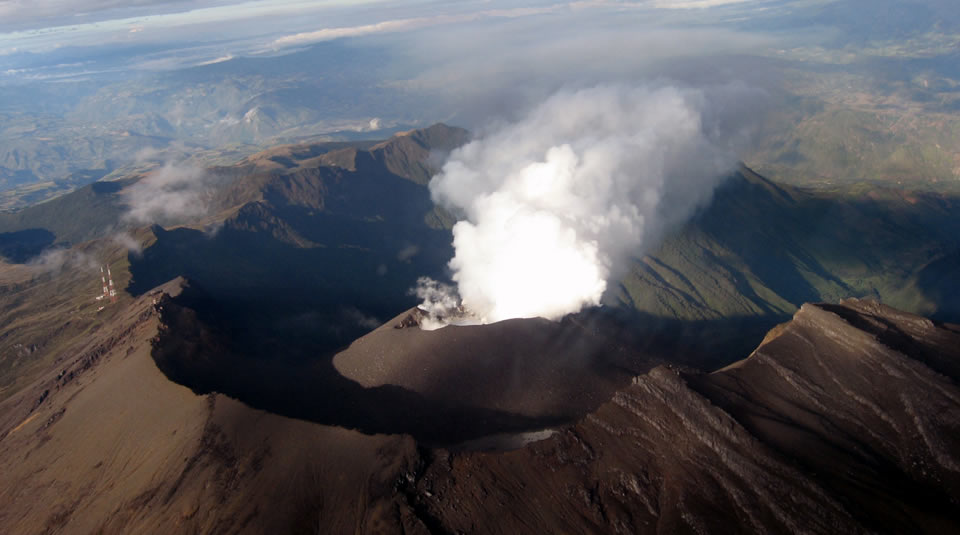
Within low degassing levels, throughout the week it was possible to record gas emissions, with white columns, low height and variable dispersion due to wind action, from the crater main and from the fumarole fields on the periphery of the active cone: El Paisita, in the North; and Las Chavas, to the west.
No significant change was observed in the other monitoring parameters.
The COLOMBIAN GEOLOGICAL SERVICE remains attentive to the evolution of the volcanic phenomenon and will continue to report the observed changes in due course.
Source : SGC.
Photo : Ingeominas
Iceland , Seismicity :
Considerable seismic activity has been ongoing 20 km NW of Húsavík since 15 September. Around 900 earthquakes have been detected there, the largest ones M4.6 and M4.0. The activity has rather decreased, but smaller earthquakes are still being detected there.
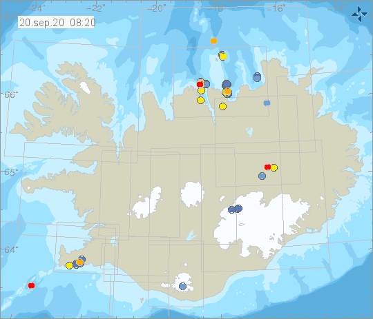
These earthquakes are a continuation of a seismic swarm that has been ongoing offshore N-Iceland since 19th of June. While a seismic swarm like this is ongoing there are increased chances of larger earthquakes in the area. Therefore it is important that people living in the area become familiar with how to respond to an earthquake.
Source : Vedur is , le 20 sept. 02:01 GMT