July 07 , 2020.
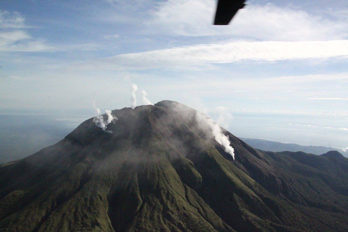
Philippines , Bulusan :
BULUSAN VOLCANO BULLETIN (UPDATED) 06 July 2020 06:00 P.M.
This serves as a notice for the raising of the alert status of Bulusan from Alert Level 0 (normal) to Alert Level 1 (abnormal).
Bulusan Volcano’s monitoring network has recorded a total of fifty-three (53) volcanic earthquakes since 03 July 2020 including forty-three (43) low frequency events that are associated with weak and shallow hydrothermal or magmatic gas activity within the edifice. The increased seismicity could be succeeded by steam-driven or phreatic eruptions at the summit crater or from flank vents on the upper to middle slopes, despite the absence of visible degassing or steaming from the active vents this year. Ground deformation data from continuous GPS measurements also indicate a short-term inflation of the edifice since late February 2020. These parameters indicate that volcanic processes are underway beneath the edifice that may be caused by deep-seated degassing or hydrothermal activity or magmatic intrusion.
Alert Level 1 (abnormal) status now currently prevails over Bulusan Volcano, which means that it is currently in an abnormal condition. Local government units and the public are reminded that entry into the four-kilometer radius Permanent Danger Zone (PDZ) is strictly prohibited and that vigilance within the two-kilometer Extended Danger Zone (EDZ) on the southeastern sector must be exercised due to the increased possibilities of sudden and hazardous phreatic eruptions. Civil aviation authorities must also advise pilots to avoid flying close to the volcano’s summit as ash from any sudden phreatic eruption can be hazardous to aircraft. Furthermore, people living within valleys and along river/stream channels especially on the southeast, southwest and northwest sector of the edifice should be vigilant against sediment-laden stream flows and lahars in the event of heavy and prolonged rainfall. DOST-PHIVOLCS is closely monitoring Bulusan Volcano’s condition and any new development will be communicated to all concerned stakeholders.
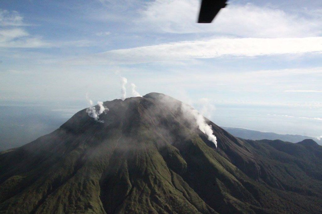
Source et photo : Phivolcs .
Peru , Sabancaya :
Analysis period: June 29 to July 5, 2020, Arequipa, July 6, 2020.
Alert level: ORANGE
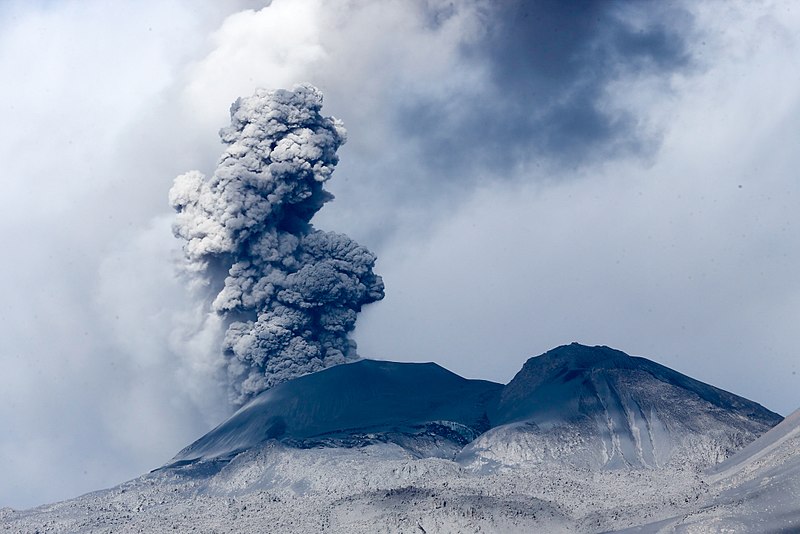
The Peruvian Geophysical Institute (IGP) reports that the eruptive activity of the Sabancaya volcano remains at moderate levels; that is to say with the continuous recording of explosions with columns up to 3.5 km above the summit of the volcano and consequent emissions of ash and gas. Therefore, for the following days, no significant change is expected regarding its eruptive activity.
The IGP recorded and analyzed the occurrence of approximately 602 earthquakes of volcanic origin, associated with the circulation of fluids (magma, gas, etc.) on the Sabancaya volcano (Arequipa region). In addition, an average of 20 low to medium intensity explosions were recorded daily.
The monitoring of the deformation of the volcanic structure, using GNSS data (processed with fast orbits), does not present any significant anomalies; however, slight inflation was recorded in the North and Southeast sector of the Sabancaya. Visual surveillance identified columns of gas and ash up to 3.5 km above the summit of the volcano, which were scattered towards the South, South-East, North and North-East sectors of the Sabancaya.
Satellite surveillance identified the presence of 7 thermal anomalies with values between 2 MW and 18 MW, associated with the presence of a body of lava on the surface of the crater of the volcano.
RECOMMENDATIONS:
• Maintain the volcanic alert level in orange.
• Do not approach within a radius of less than 12 km from the crater. In the event of ash fall, cover your nose and mouth with rags or wet masks. Keep doors and windows of houses closed.
• Implement prevention and mitigation actions in the face of increased volcanic activity.
Source : IGP.
Photo : Ministerio de Defensa del Perú
Peru , Ubinas :
Analysis period: June 29 to July 5, 2020, Arequipa, July 6, 2020
Alert level: ORANGE
Suggested alert level: GREEN
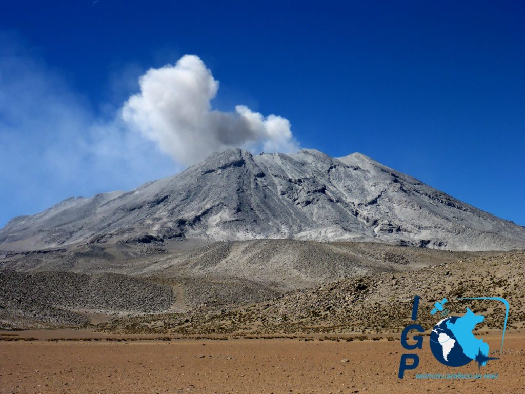
The Geophysical Institute of Peru (IGP) reports that the Ubinas volcano (Moquegua region) continued to record a slight increase in its seismic activity during the analysis period; therefore, it is suggested that the authorities and the population keep an eye on the bulletins issued by the IGP.
During the analysis period, the occurrence of 51 earthquakes with a magnitude less than M2.3 was identified, events associated with the fracturing processes of the rocks that occur inside the volcano. These earthquakes were located 4 km northeast and 3 km southeast of the volcano, at a depth of 6.8 km and 2.7 km, respectively. Similarly, 11 seismic signals were recorded, associated with the movements of volcanic fluids (water vapor and gas). There was no seismic activity related to the rise of magma.
Surveillance cameras recorded columns of gas and water vapor that reached heights up to 300 m above the summit of the volcano; these emissions were dispersed to the northeast and southeast sectors of the volcano.
The monitoring of the deformation of the volcanic structure and the satellite monitoring through the SENTINEL, OMI-NASA (SO2 gas) and MIROVA (thermal anomalies) systems did not record any anomalies during the period.
RECOMMENDATIONS:
• Stay informed at all times of the volcanic activity of Ubinas thanks to the bulletins published by the IGP: (http://www.igp.gob.pe/servicios/centro-vulcanologico-nacional/).
• Do not approach within a radius of less than 3 km around the crater of the volcano.
• Do not neglect preventive actions in the event of a possible increase in volcanic activity.
Source : IGP.
Costa Rica , Turrialba :
No significant change is observed in the gas observations, but there are oscillations. The CO2 / SO2 ratio varies approximately between 7.9 and 18.7; while the H2S / SO2 ratio remains between 0.2 and 0.5. On the other hand, the SO2 concentration varies between 2.3 and 3.2 ppm. Small ash emissions were observed by the webcam yesterday (July 4) at 12:45 p.m. and today at 12:50 a.m., 1:29 a.m. and 3:20 p.m. (GMT-6). Deformation data indicates a contraction of the volcanic building.
https://www.facebook.com/OVSICORI/videos/199365598118273/
July 6, 2020. At 9 am, a passive emanation of ash was observed on the Turrialba volcano, reaching a few meters above the top of the crater. A fall of ash is reported in the upper parts of Goicoechea, Rancho Redondo and Vista de Mar.
At the time of this report, winds were blowing from the northwest.
Seismicity is dominated by LP type events.
Source : Ovsicori.
Indonesia , Dukono :
VOLCANO OBSERVATORY NOTICE FOR AVIATION – VONA.
Issued : July 07 , 2020
Volcano : Dukono (268010)
Current Aviation Colour Code : ORANGE
Previous Aviation Colour Code : orange
Source : Dukono Volcano Observatory
Notice Number : 2020DUK57
Volcano Location : N 01 deg 41 min 35 sec E 127 deg 53 min 38 sec
Area : North Maluku, Indonesia
Summit Elevation : 3933 FT (1229 M)
Volcanic Activity Summary :
Eruption with volcanic ash cloud at 23h58 UTC (08h58 local).
Volcanic Cloud Height :
Best estimate of ash-cloud top is around 4573 FT (1429 M) above sea level, may be higher than what can be observed clearly. Source of height data: ground observer.
Other Volcanic Cloud Information :
Ash-cloud moving to west.
Remarks : Eruption and ash emission is continuing.
Source : Magma Indonésie.
Photo : Martin Rietze

Cette article est idéal j’ai mis du temps à le trouver en recherchant sur Bing, pourrais-je le partager sur mon blog ??L’equipe qui a publié ce article à fait un travail étonnant ! Merci à vous. J’espère en voir d’autre prochainement.
c’est un blog qui parle de quoi ?