March 29 , 2020.
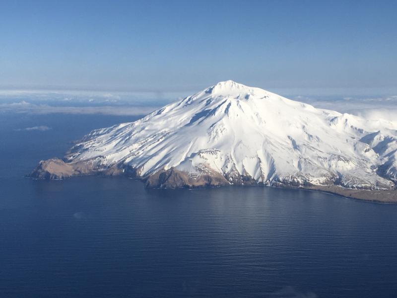
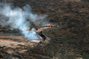
Alaska , Great Sitkin :
52°4’35 » N 176°6’39 » W,
Summit Elevation 5709 ft (1740 m)
Current Volcano Alert Level: ADVISORY
Current Aviation Color Code: YELLOW
Small local earthquakes continued to occur at Great Sitkin over the past day. No significant activity was observed in satellite and web camera views, which were mostly obscured by clouds.
Great Sitkin volcano is monitored with a local real-time seismic network, which will typically allows AVO to detect changes in unrest that may lead to an explosive eruption. Rapid detection of an ash-producing eruption would be accomplished using a combination of seismic, infrasound, lightning, and satellite data.
Source : AVO.
Photo : Fischer, Ed ( 11 / 03/2020 ).
Philippines , Taal / Kanlaon / Mayon :
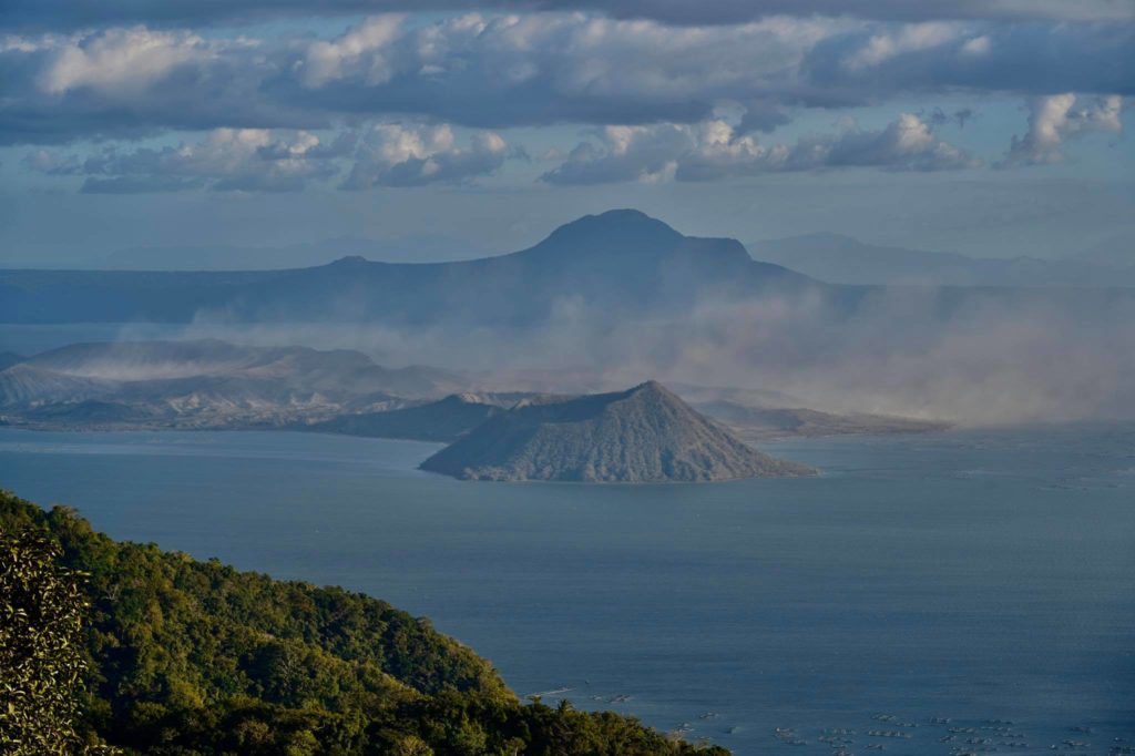
TAAL VOLCANO BULLETIN 29 March 2020 8:00 A.M.
Activity in the Main Crater in the past 24 hours has been characterized by weak emission of white to dirty white steam-laden plumes rising 50 meters high before drifting southwest. Weak steaming was also observed from fissure vents along the Daang Kastila trail. The Taal Volcano Network recorded eighteen (18) volcanic earthquakes that are associated with rock fracturing processes beneath and around the edifice.
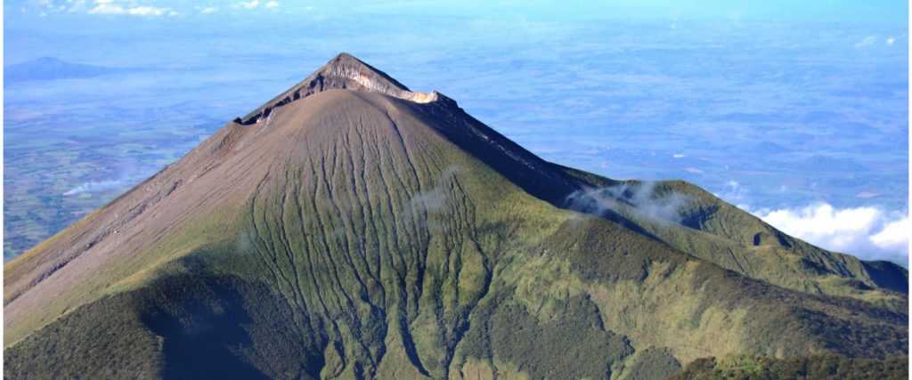
KANLAON VOLCANO BULLETIN 29 March 2020 08:00 A.M.
Kanlaon Volcano’s seismic monitoring network five (5) volcanic earthquakes during the 24-hour observation period. Ground deformation data from continuous GPS measurements indicate a period of long-term slow inflation of the edifice since 2017, while short-term electronic tilt monitoring on the southeastern flanks recorded slow inflation of the lower slopes since May 2019 and pronounced inflation of the upper slopes at the end of January 2020. These parameters indicate that hydrothermal or magmatic activity is occurring deep beneath the edifice.
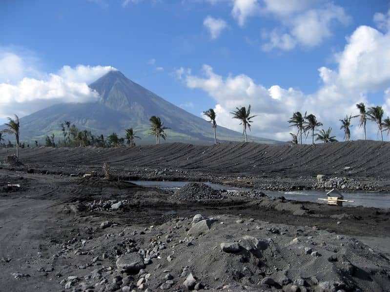
MAYON VOLCANO BULLETIN 29 March 2020 08:00 A.M.
Mayon Volcano’s seismic monitoring network did not detect any volcanic earthquake during the 24-hour observation period. Moderate emission of white steam-laden plumes that crept downslope before drifting west-northwest was observed. Faint crater glow from the summit could be observed at night. Sulfur dioxide (SO2) emission was measured at an average of 668 tonnes/day on 23 March 2020. Recent electronic tilt data showed inflation of the middle to upper portions of the volcanic edifice that began in the last quarter of 2019. This follows an inflationary trend that began in February 2019 as recorded by continuous GPS monitoring.
Source : Phivolcs
Photos : Rafy Tima , unknown author , Manilla bulletin .
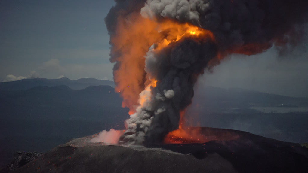
Indonesia , Ibu :
VOLCANO OBSERVATORY NOTICE FOR AVIATION – VONA.
Issued: 20200328/2356Z
Volcano: Ibu (268030)
Current Aviation Colour Code: ORANGE
Previous Aviation Colour Code: orange
Source: Ibu Volcano Observatory
Notice Number: 2020IBU07
Volcano Location: N 01 deg 29 min 17 sec E 127 deg 37 min 48 sec
Area: North Maluku, Indonesia
Summit Elevation: 4240 FT (1325 M)
Volcanic Activity Summary:
Eruption with volcanic ash cloud at 23h55 UTC (08h55 local time)
Volcanic Cloud Height:
Best estimate of ash-cloud top is around 6800 FT (2125 M) above sea level, may be higher than what can be observed clearly. Source of height data: ground observer.
Other Volcanic Cloud Information:
Grey ash-cloud moving to north
Remarks:
Eruption and ash emission is continuing
Source : Magma Indonésie .
Italy , Stromboli :
Press release on the activity of the Stromboli volcano, 03/28/2020 at 6.30 p.m. UTC (19.30 local time).
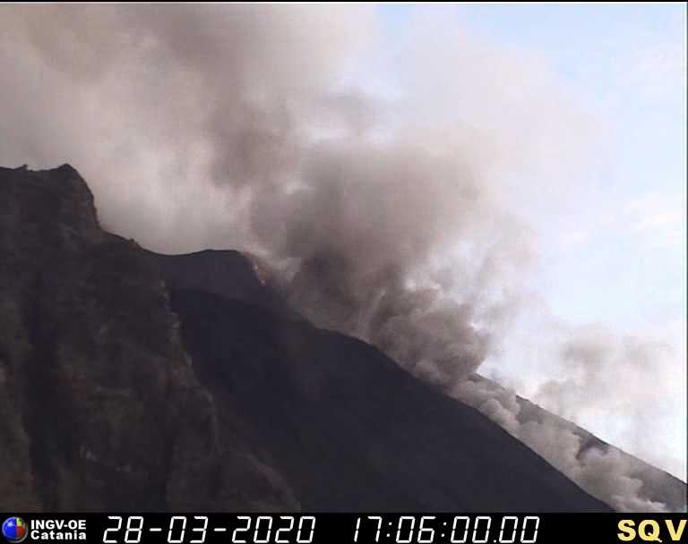
It is reported that at 4:44 p.m. UTC, the geophysical monitoring network of the experimental Geophysics laboratory #LGS of the Department of Earth Sciences at the University of Florence recorded an increase in seismic tremor accompanied by an event of rolling of blocks (type « rockfall »). The longest one (about 3 minutes in duration) took place at 16:57 hours UTC.
This phase of tremor increase is associated with a surflow, that is to say a lava overflow, from the northeast area of the crater, as seen by images from Labronzo’s camera and produced the collapse of small portions of the crater rim.
No significant change in the other monitored parameters is currently reported at this time. This activity is still ongoing.
Source : experimental geophysics laboratory LGS.
Mexico , Popocatepetl :
March 27, 10:30 a.m. (March 27, 4:30 p.m. GMT)
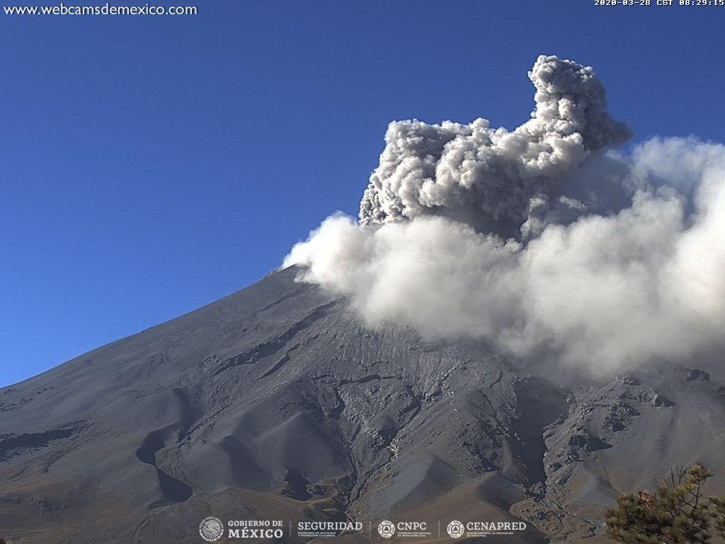
In the past 24 hours, using the Popocatépetl volcano monitoring system, 61 exhalations have been identified, accompanied by water vapor, volcanic gases and slight amounts of ash. The ash emissions were dispersed in the North West (NW) sector. In addition, 818 minutes of tremors were recorded.
At the time of this report, volcanic gas emissions and small amounts of ash are dispersed to the northwest (NW).
CENAPRED urges NOT TO APPROACH the volcano and especially the crater, because of the danger involved in the fall of ballistic fragments, and, in the event of heavy rain, to move away from the bottom of the ravines because of the danger of flows mud and debris.
The Popocatépetl volcanic alert signaling light is in YELLOW PHASE 2.
Source : Cenapred.

