August 17 , 2018.
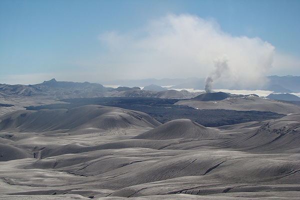
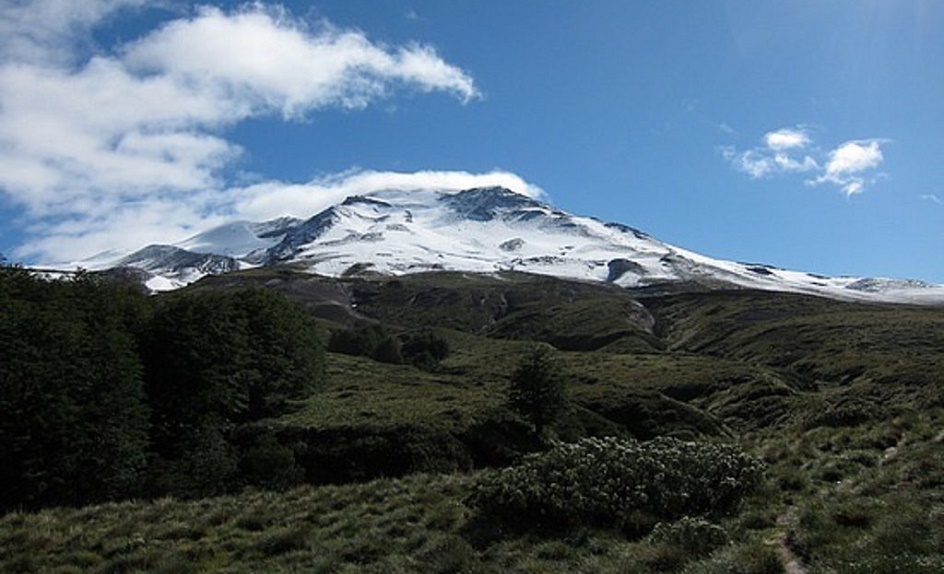
Chile , Puyehue / Cordon Caulle :
During the evaluated period, a total of 123 seismic events were recorded, of which 7 were classified as long-lived earthquakes (LPs) in relation to fluid dynamics within the volcanic edifice. The higher energy event had a reduced displacement value (DRc) equal to 4.6 cm2. 116 volcano-tectonic (VT) earthquakes associated with rock fracturing processes were also recorded. The larger event had a local magnitude (ML) of 1.6, and was located 3.3 km northwest of the 2011 emission center at a depth of 4.1 km.
The images provided by the IP cameras installed around the volcano do not show any superficial changes.
According to the data provided by three GNSS stations, we observe that the inflationary process reported previously is continuing. The maximum rate of horizontal variation recorded by the permanent network is 0.35 cm / month and the vertical rate of 0.18 cm / month for the station closest to the point of maximum deformation. It should be noted that the results were obtained from a temporary network installed in the complex, the results of which showed speeds of 0.52 cm / month in the NNNW direction and 1.54 cm / month in the vertical direction, which would validate the maximum growth rate calculated by InSAR until April 2018.
No sulfur dioxide (S02) emissions have been reported in the area’s atmosphere near the volcanic building, according to data published by the Ozone Observatory Sulfur Dioxide Group (http: // mon2.gsfc.nasa.gov/). ) and the National Information and Satellite Data Service on the Environment (NESDIS) (http://satepsanoine.nesdis.noaa.gov).
No thermal warning was reported in the area associated with the volcanic complex during the period, according to data processed by the mean infrared observation of volcanic activity (MIROVA) (http://www.mirovaweb.it /) and Temporal Thermal Monitoring of global hot spots (MODVOLC) (http://modis.higp.hawaii.edu/).
The seismicity remains similar to those recorded in recent months, the vast majority under the last active center in 2011. The general picture developed in recent months and the signs of deformation of the volcanic construction are indicators of the development of processes that can lead the imbalance of the volcanic system. In addition, the presence of a residual magmatic body, set up during the 2011 superficial eruption (lacolito), could facilitate this imbalance.
Because of the above, the volcanic warning is kept at the level:
YELLOW LEVEL: Changes in the behavior of volcanic activity – Probable time for an eruption: WEEKS / MONTH.
Source : Sernageomin.
Photos : Sernageomin , Emol .
Hawai , Kilauea :
Thursday, August 16, 2018, 1:24 PM HST (Thursday, August 16, 2018, 23:24 UTC)
19°25’16 » N 155°17’13 » W,
Summit Elevation 4091 ft (1247 m)
Current Volcano Alert Level: WARNING
Current Aviation Color Code: ORANGE
Kīlauea summit and lower East Rift Zone
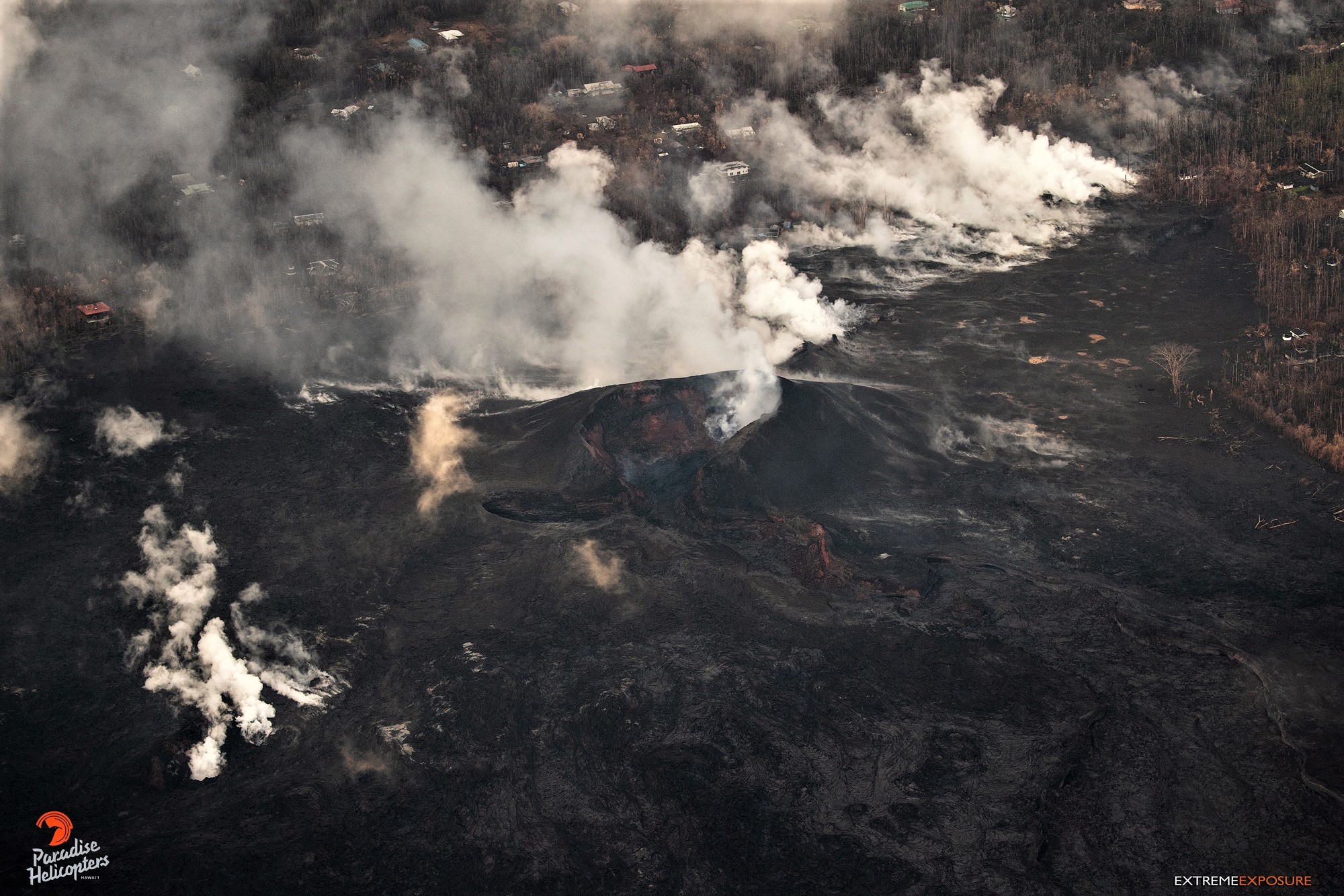
The lull in activity at Kīlauea Volcano continues. No summit collapse events have occurred since August 2, and, with the exception of a small, crusted-over pond of lava deep inside the fissure 8 cone and a few scattered ocean entries, lava stopped flowing in the lower East Rift Zone (LERZ) on August 6. Sulfur dioxide emission rates at both the summit and LERZ are drastically reduced; the combined rate is lower than at any time since late 2007.
Earthquake and deformation data show no net accumulation, withdrawal, or significant movement of subsurface magma or pressurization as would be expected if the system was building toward a resumption of activity.
Gases rise from the line of fissures on the rift, blown toward the southeast by the trades.
It is too soon to tell if this change represents a temporary lull or the end of the LERZ eruption and/or summit collapse activity. In 1955, similar pauses of 5 and 16 days occurred during an 88-day-long LERZ eruption. During the Mauna Ulu eruption (1969-1974), a 3.5 month pause occurred in late 1971.
The Hawaiian Volcano Observatory (HVO) will continue to closely monitor Kīlauea’s seismicity, deformation, and gas emissions for any sign of reactivation, and maintain visual surveillance of the summit and LERZ. HVO will continue to issue daily updates and additional messages as needed.
The next status report will be issued tomorrow morning unless significant changes occur.
Source : HVO
Kamchatka , Sheveluch :
56.64 N, 161.32 E;
Elevation 10768 ft (3283 m),
the dome elevation ~8200 ft (2500 m)
Aviation Colour Code is ORANGE
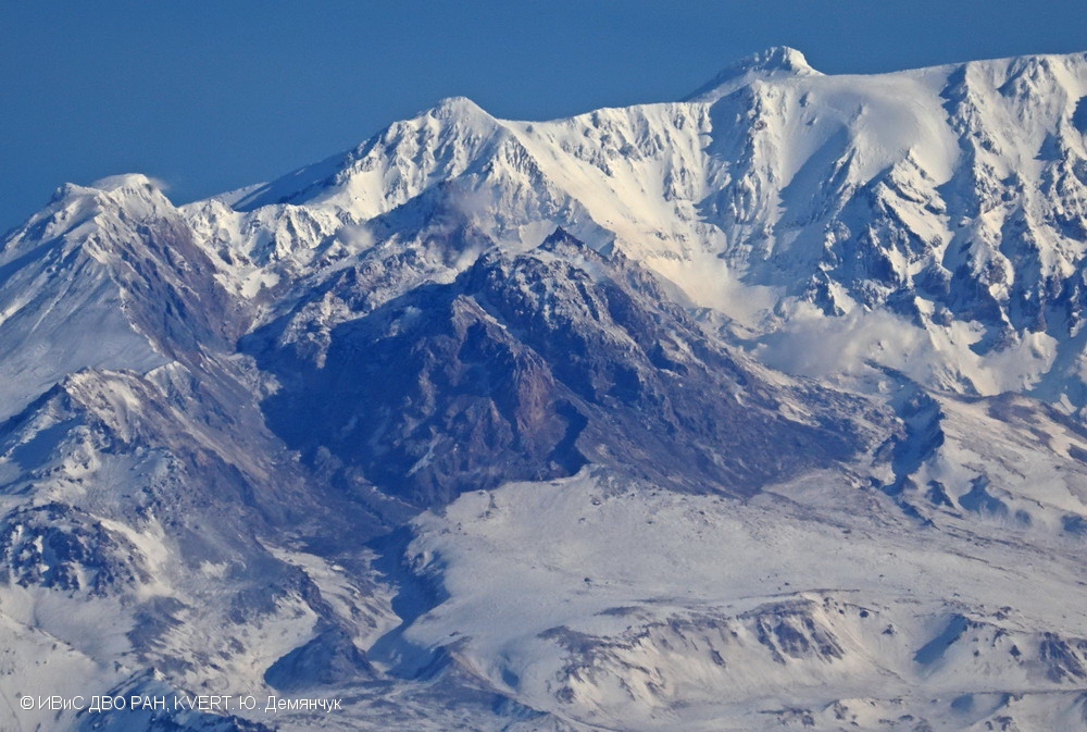
A moderate gas-steam activity of the volcano continues. Ash explosions up to 32,800-49,200 ft (10-15 km) a.s.l. could occur at any time. Ongoing activity could affect international and low-flying aircrafts.
A moderate gas-steam activity of the volcano continues. Satellite data by KVERT showed a thermal anomaly over the volcano on 12-13 August; the volcano was obscured by clouds in the other days of Week.
Moderate potential hazards are caused by ash plumes, ash falls, pyroclastic flows, hot avalanches and lahars.
The volcano constitutes a potential hazard to international and local airlines at Kamchatka because its eruptive clouds can rise to a height of 3-20 km a.s.l. and extend for hundreds of kilometers from the volcano.
Ash falls possible at:
Klyuchi (50 km to the south-west from the volcano)
Ust’-Kamchatsk (90 km to the east-southeast from the volcano)
Ust’-Khairyuzovo (280 km to the west-northwest from the volcano)
Source : Kvert
Photo : Yu. Demyanchuk., IVS FEB RAS, KVERT, 25/03/2018
Costa Rica , Turrialba / Rincon de la Vieja :
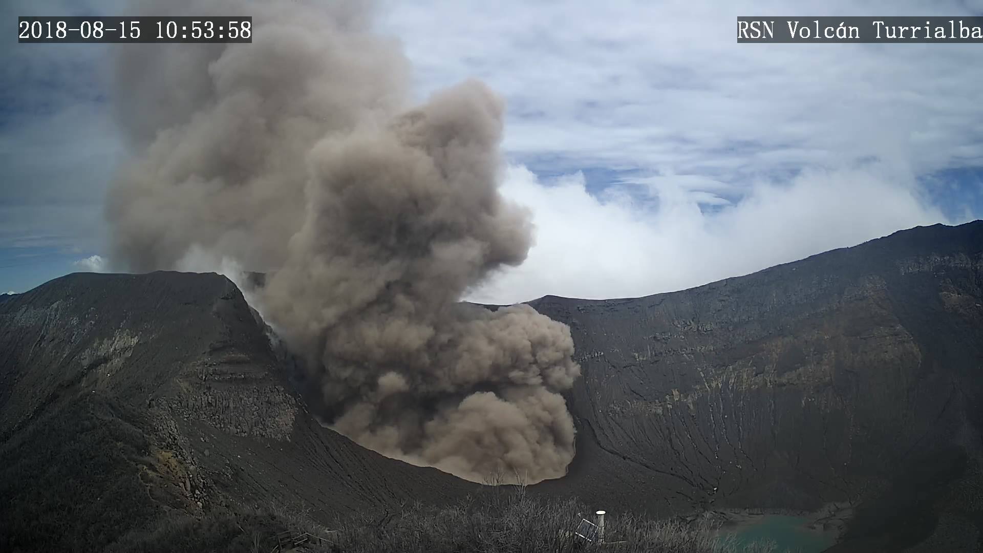
The National Seismology Network (RSN) reported an eruption of the Turrialba Volcano this August 15 at 7 a.m., the volcano still maintained a passive emission of ash over four hours after the eruption.
The activity was mild with a column of ash that reached close to 300 meters above the active crater; the ash was being dispersed to the Northeast.
Turrialba Volcano had increased its activity since late July, with sporadic eruptions and passive emissions of ash.
The National University’s Volcanology and Seismology Research Institute (OVSICORI), also informed of the activity of the Rincon de la Vieja Volcano in Guanacaste, which registered an eruption on August 14 at 6:28 p.m. the altitude of the column of ash is unknown due to the visibility conditions in the area.
The RSN had warned since early June that changes had been registered in the behavior of the seismic activity in the Rincon de la Vieja Volcano, with an increase in the low frequency seismic activity which are generally related to circulation of hydrothermal or magmatic flows through ducts within the volcano; this pattern has been registered in the past prior to eruptive periods of this volcano. For this reason, precaution is recommended.
Poas Volcano in Alajuela maintains a period of calm with no eruptions registered; this National Park is scheduled to reopen soon.
Source : news.co.cr
Photo : RSN

