August 13 , 2018.
Ecuador , Reventador :
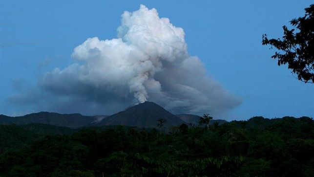
The Ecuadorian volcano Reventador maintains high activity and steam emissions of 650 meters above sea level.
The Reventador volcano, located 90 km from Quito, has maintained this weekend its high activity and in the last hours and recorded a 650-meter emission over its crater, reported the National Institute of Geophysics.
The agency that monitors daily seismic and volcanic activity in the Andean countries, said the Washington-based Volcanic Ash Advisory Center (VAAC) « reported that at 3:20 am local time (08, 20 GMT) an emission reached 650 meters above the crater level in the west direction « .
The volcano surveillance cameras did not notice any new anomalies in the following hours.
The Reventador maintains since May last an intense activity which has not yet had major consequences.
In November 2002, an eruption with a large cloud of ashes had, due to the winds, drifted to Quito and covered various parts of the capital.
Source : Eldiario
Alaska , Great Sitkin :
52°4’35 » N 176°6’39 » W,
Summit Elevation 5709 ft (1740 m)
Current Volcano Alert Level: ADVISORY
Current Aviation Color Code: YELLOW
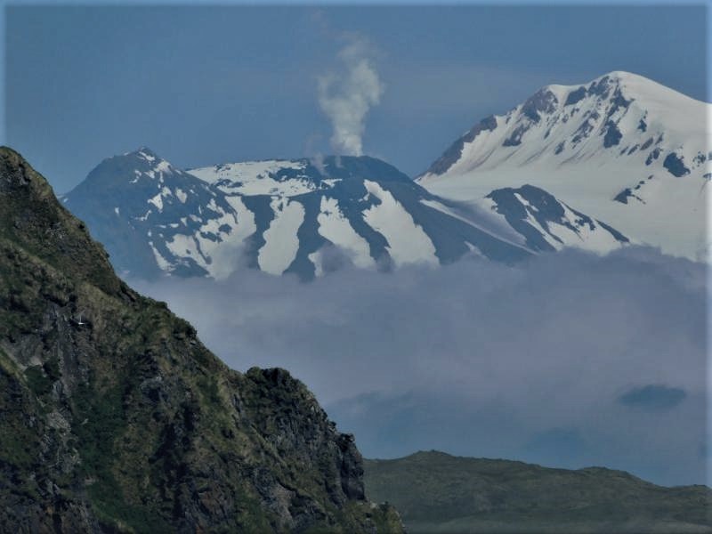
Low-level unrest continues at Great Sitkin Volcano. In the past day, a small phreatic explosion was observed in seismic data at 11:05 am AKDT on August 11 (19:05 UTC). Small local earthquakes preceded the event and stopped following the phreatic explosion. The event is similar to 3 other phreatic explosions that have occurred over the past 2 years at Great Sitkin, most recently on June 10, 2018. A small ash deposit near the summit was observed in clear satellite images after the June 10 event. Nothing significant was observed in cloudy satellite images during the last 24 hours.
Great Sitkin Volcano is monitored with a local real-time seismic network, which will typically allow AVO to detect changes in unrest that may lead to an explosive eruption. Rapid detection of an ash-producing eruption would be accomplished using a combination of seismic, infrasound, lightning, and satellite data.
Source : AVO
Photo : Beauparlant, Alain , 10 Juillet 2018.
Chile , Lonquimay :
Special Report on Volcanic Activity (REAV)
Araucania Region, Lonquimay Volcano, August 11, 2018, 21:15 local time (mainland Chile)
The National Geological and Mining Service of Chile (Sernageomin) publishes the following PRELIMINARY information, obtained from monitoring equipment of the National Volcanic Monitoring Network (NVRN), processed and analyzed at the Volcanological Observatory of the Southern Andes (OVDAS) :
On Saturday, August 11 at 20:15 local time (00:15 UTC), monitoring stations near the Lonquimay volcano recorded a hybrid-type earthquake, associated with a mechanism of fracturing rocks and fluid dynamics inside the volcanic building.
The characteristics of the earthquake after its analysis are as follows:
TIME OF ORIGIN: 20h15 local time (00h15 UTC)
LATITUDE: 38.383 ° S
LONGITUDE: 71,575 ° W
DEPTH: 14.5 KM
LOCAL MAGNITUDE: 3.0 (Ml)
OBSERVATIONS:
After recording the hybrid-type volcanic event, three (3) earthquakes classified as Long Period occurred (associated with fluid dynamics). At the time of publication of this report, no other anomalies associated with this event have been reported.
The level of volcanic technical alert remains at the level: GREEN.
Sernageomin continues online monitoring and will inform in a timely manner about any changes observed.
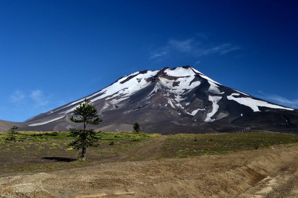
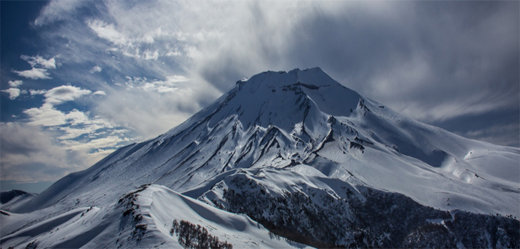
Lonquimay is a small, flat-topped, symmetrical stratovolcano of late-Pleistocene to dominantly Holocene age immediately SE of Tolguaca volcano. A glacier fills its summit crater and spills down the S flank. It is dominantly andesitic, but basalt and dacite are also found. There is an E-W fissure, although the prominent NE-SW Cordón Fissural Oriental fissure zone cuts across the entire volcano, that produced a series of NE-flank vents and cinder cones, some of which have been the source of voluminous lava flows, including those during 1887-90 and 1988-90 that traveled up to 10 km.
Source : Sernageomin. , GVP .
Photos : Altitudesrando , Biobiochiles
Indonesia , Ibu :
VOLCANO OBSERVATORY NOTICE FOR AVIATION – VONA.
Issued: August 13 , 2018.
Volcano: Ibu (268030)
Current Aviation Colour Code: ORANGE
Previous Aviation Colour Code: orange
Source: Ibu Volcano Observatory
Notice Number: 2018IBU12
Volcano Location: N 01 deg 29 min 17 sec E 127 deg 37 min 48 sec
Area: North Maluku, Indonesia
Summit Elevation: 4240 FT (1325 M)
Volcanic Activity Summary:
Eruption with volcanic ash cloud at 02h59 UTC (11h59 local).
Volcanic Cloud Height:
Best estimate of ash-cloud top is around 6800 FT (2125 M) above sea level, may be higher than what can be observed clearly. Source of height data: ground observer.
Other Volcanic Cloud Information:
Ash cloud moving to north.
Remarks:
Eruption is continuing. Seismic activity is dominated by explosion and gas emission earthquake.
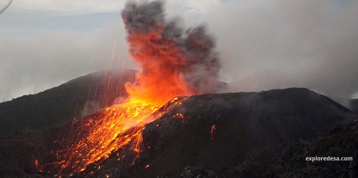
Level of activity at Level II (WASPADA). G. Ibu (1340 m) has been erupting continuously since 2008. Since yesterday and until this morning, visually, the summit of the volcano has been observed clearly until it is covered with fog. The crater eruption ash was white to gray, with moderate intensity, rising up to 200-800 m above the peak. The wind is blowing weakly to the northeast.
According to the seismographs, on August 12, 2018, it was recorded:
102 earthquake eruption
130 earthquakes
29 avalanche earthquakes
4 distant tectonic earthquakes
Recommendations:
Communities around G. Ibu and visitors / tourists should not move, climb and approach within 2 km.
Source : Magma Indonésie , PVMBG.
Photo : Aris Yanto / www.exploredesa.com/adventure.

