March 21 , 2020 .
Chile, Laguna Del Maule :
Diffuse increase of CO2 in the volcanic complex of Laguna del Maule.
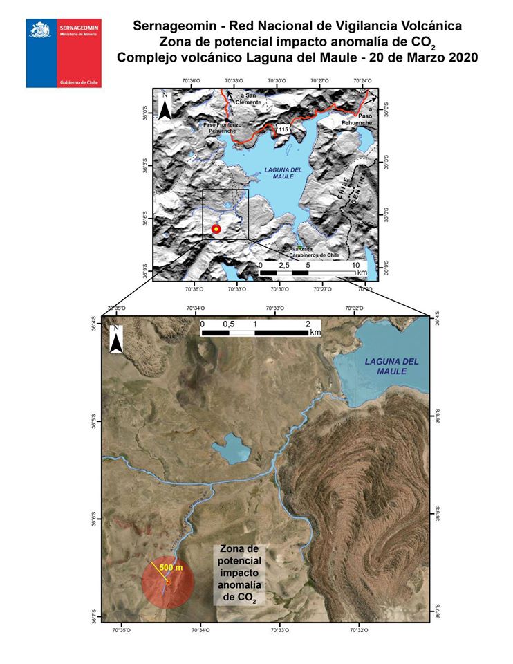
At 5:00 p.m. on March 20, the National Geological and Mining Service announced an increase in ground-level carbon dioxide emissions from an area on the southwest shore of the Laguna del Maule. This is a sharp increase from 3,736 g / m2 / d in March 2019 to 14,469 g / m2 / d in February 2020.
Changes in soil color were also observed at the site due to its alteration. The presence of dead animals is also noted. The emission area is 10 km south of the Paso Pehuenche border complex, and an impact radius of 500 m has been determined.
There is no change in alert level, so it remains at the Green level.
Source : Sernageomin , Volcanologia en Chile .
Italy / Sicily , Etna :
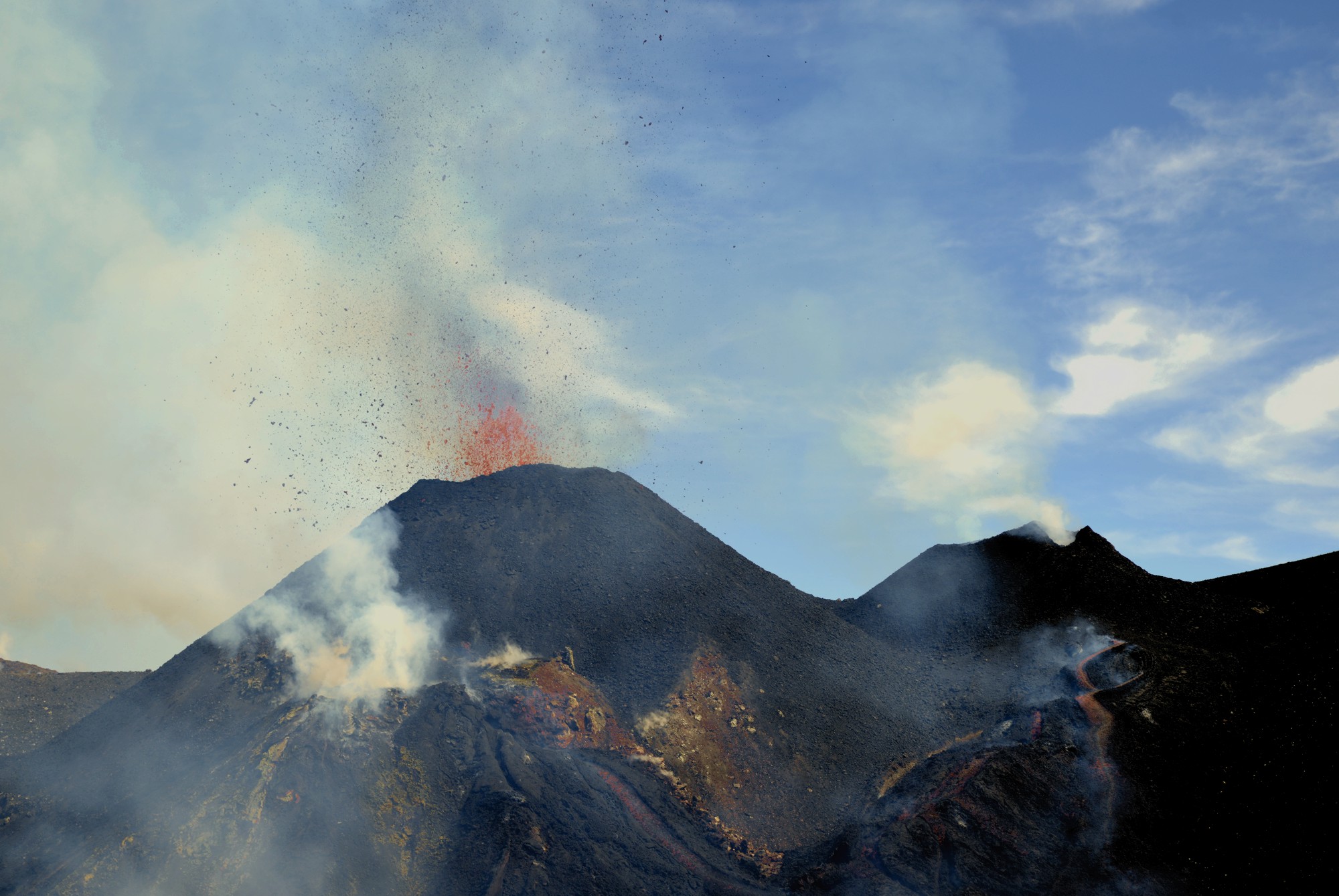
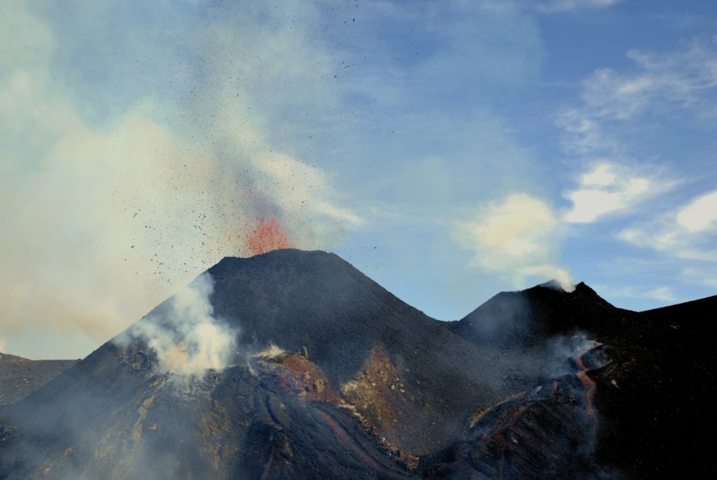
The activity in the Voragina crater, on Etna, is almost continuous, with explosions from the two usual mouths inside the crater, where at least two cones are now growing, the central cone and another slightly further north, which began to form on February 29.
During the week, the average amplitude of the volcanic tremors did not show significant changes. However, a modest upward trend in this parameter was confirmed in the first days of the week (from March 7), the values of which, throughout the week, reached the high level. The sources of the tremor were located below the summit craters, in the altitude range mainly between 2300 and 2500 m above mean sea level.
Source : INGV Vulcani , INGV.
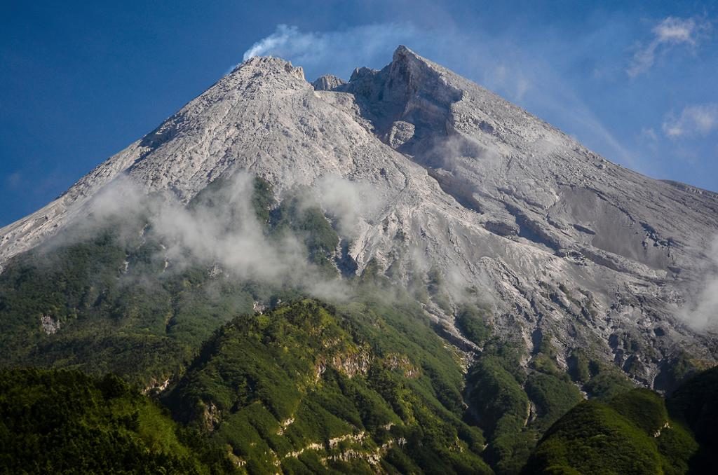
Indonesia , Merapi :
Activity report of the Merapi volcano, March 13-19, 2020.
OBSERVATION RESULTS.
Visuals:
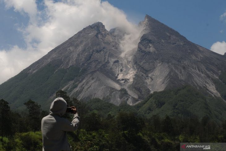
The weather around Mount Merapi is generally sunny in the morning and at night, while the afternoon until evening is foggy. White smoke, thin to thick, is recorded with low pressure. The maximum smoke height of 50 m was observed from the Mount Merapi observation post in Babadan on March 16, 2020 at 5:50 a.m. Morphological analysis of the peak and crater this week could not be carried out because the camera and its support devices were under maintenance. The volume of the lava dome based on measurements using aerial photography with drones on February 19, 2020 amounted to 291,000 m3.
Seismicity:
This week, the seismicity of Mount Merapi showed:
1 shallow volcanic earthquake (VTB),
14 multi-phase (MP) earthquakes,
17 avalanche earthquakes (RF),
5 low frequency (LF) earthquakes
17 tectonic earthquakes (TT).
The seismic intensity this week is relatively the same as last week.
Deformation
The deformation of G. Merapi which was monitored by EDM and GPS this week did not show any significant change.
Rain and lahars:
This week, there was rain at the Mount Merapi observation post with the highest rain intensity of 76 mm / hour for 90 minutes at the Kaliurang post on March 19, 2020. There was neither lahars or additional flow in the rivers that descend from Mount Merapi.
Conclusion:
Based on the results of the visual and instrumental observations, it was concluded that:
1. The lava dome is currently in a stable state.
2. The volcanic activity of Mount Merapi is still quite high and is determined by the level of activity « WASPADA ».
3. The current potential danger is in the form of hot clouds from the collapse of the lava dome and explosions of volcanic material from explosive eruptions.
Source : BPPTKG.
Photos : Antaranews , Azimuth Adventure Travel.
Kamchatka , Klyuchevskoy :
VOLCANO OBSERVATORY NOTICE FOR AVIATION (VONA).
Issued: March 20 , 2020
Volcano: Klyuchevskoy (CAVW #300260)
Current aviation colour code: ORANGE
Previous aviation colour code: orange
Source: KVERT
Notice Number: 2020-34
Volcano Location: N 56 deg 3 min E 160 deg 38 min
Area: Kamchatka, Russia
Summit Elevation: 15580 ft (4750 m)
Volcanic Activity Summary:
A moderate explosive eruption of the volcano continues, the Strombolian activity is noting. According to satellite data, a gas-steam plume containing ash is extending about 58 km to the east from the volcano.
A moderate explosive eruption of the volcano continues. Ash explosions up to 16,400-23,000 ft (5-7 km) a.s.l. could occur at any time. Ongoing activity could affect low-flying aircraft.
Volcanic cloud height:
16400-18040 ft (5000-5500 m) AMSL Time and method of ash plume/cloud height determination: 20200320/0213Z – Suomi NPP (14m15)
Other volcanic cloud information:
Distance of ash plume/cloud of the volcano: 36 mi (58 km)
Direction of drift of ash plume/cloud of the volcano: E / azimuth 93 deg
Time and method of ash plume/cloud determination: 20200320/0213Z – Video data
Source : Kvert.
Costa Rica , Turrialba / Poas / Rincon de la Vieja :
Volcanic monitoring program weekly bulletin, March 16, 2020
Turrialba volcano:
Lat: 10.025 ° N; Long: 83,767 ° W;
Height: 3340 m above sea level
Current activity level: 2 (active volcano)
Potentially associated hazards: gas, emission of ash, proximal ballistic projections.
No ash emission was detected. Small landslides were detected in the crater. There is no significant deformation. The gas ratios are stable except for a small peak in H 2 S / SO 2. The flow of SO 2 remains stable and low (<300 t / d).
Poás Volcano:
Lat: 10.2 ° N; Long: 84 233 ° W;
Height: 2780 m above sea level
Current activity level: 3 (active volcano)
Potentially associated hazards: gas, ash emission, phreatic eruptions, proximal ballistic projections.
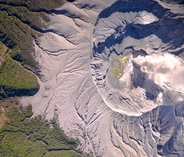
Seismic activity maintains a pattern of variations in the number of LP type events. A continuous tremor is recorded. Inflation is still recorded but less pronounced. The SO 2 / CO 2 ratios continue with a general tendency to increase slowly but not yet reaching a critical value (~ 2.0). The flow of SO 2 remains stable (around 150 t / d). The level of the lake continues to drop but slowly.
Rincon de la Vieja volcano:
Lat: 10.83 ° N; Long: 85.324 ° W;
Height: 1895 m above sea level
Current activity level: 3 (erupting volcano)
Potentially associated hazards: gas, groundwater eruptions, proximal ballistic projections, lahars.
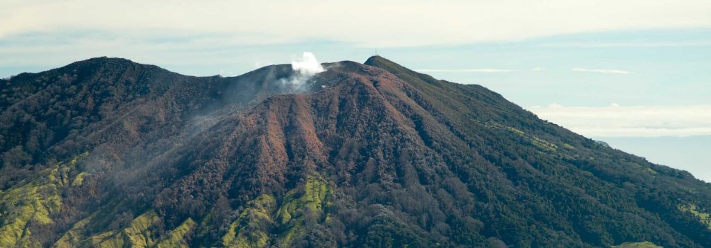
A small éruption was detected on March 11. An hour and a half tremor of low frequency and high amplitude was recorded on March 14. A significant extension and a trend towards inflation are still observed. There is also a rapid increase in the redox potential (redox reaction or redox reaction) of a hot spring in the North.
Source : Ovsicori .
Photos : RSN , Federico Chavarría Kopper , RSN.

