07 Septembre 2021.
Pérou , Sabancaya :
Période d’analyse: du 31 Aout 2021 au 5 Septembre 2021 , Arequipa, 06 Septembre 2021.
Niveau d’alerte: ORANGE
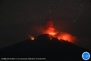
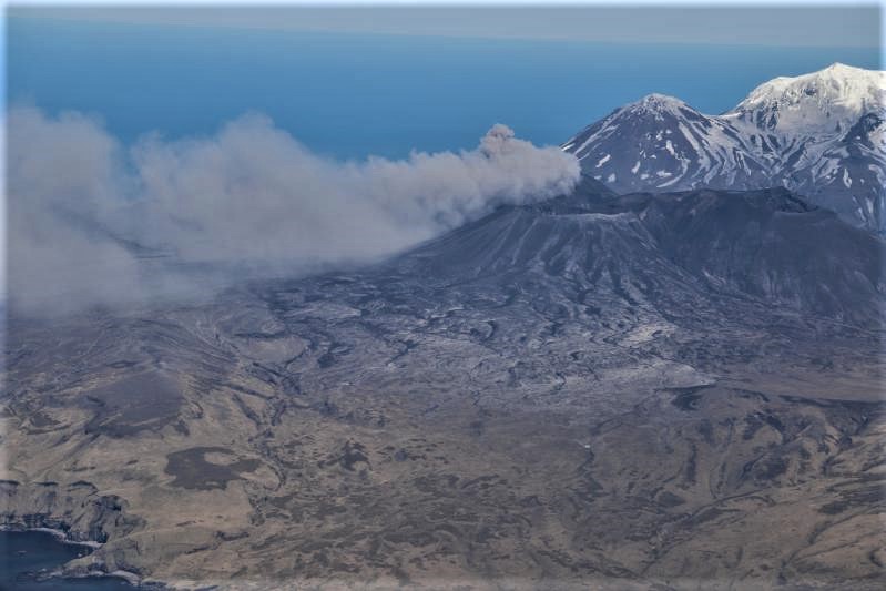
L’Institut géophysique du Pérou (IGP) rapporte que l’activité éruptive du volcan Sabancaya reste à des niveaux modérés, c’est-à-dire avec l’enregistrement d’une moyenne de 44 explosions quotidiennes , avec des colonnes de cendres et de gaz jusqu’à 3,5 km d’altitude au dessus du sommet du volcan et leur dispersion consécutives . Par conséquent, pour les jours suivants, aucun changement significatif n’est attendu concernant l’ activité éruptive.
L’IGP a enregistré et analysé l’occurrence de 584 tremblements de terre d’origine volcanique, associés à la circulation de fluides magmatiques à l’intérieur du volcan Sabancaya. Une moyenne de 44 explosions a été enregistrée quotidiennement . Au cours de cette période, les tremblements de terre de type Volcano-Tectoniques (VT) associés à des fracturations rocheuses ont été localisés principalement dans l’Est et l’Ouest du Sabancaya et ont présenté des magnitudes comprises entre M3,0 et M3,7.
Le suivi de la déformation de la structure volcanique à l’aide de techniques GNSS (traitées avec des orbites rapides) ne présente pas d’anomalies significatives. Cependant, de manière générale, un processus d’inflation a été observé dans le secteur Nord ( environs du volcan Hualca Hualca ). La surveillance visuelle a permis d’identifier des colonnes de gaz et de cendres jusqu’à 3,5 km d’altitude au dessus du sommet du volcan , qui étaient dispersées vers les secteurs Sud , Sud-Est , Nord , Est , Ouest , Nord – Ouest et Nord- Est du Sabancaya. Les enregistrements par satellites ont identifiés la présence de 10 anomalies thermiques ( valeur maximale de 24 MW ) associées à la présence d’un corps de lave à la superficie du cratère du volcan .
RECOMMANDATIONS
• Garder le niveau d’alerte volcanique en orange.
• Ne pas s’ approcher dans un rayon de moins de 12 km du cratère.
Source : IGP.
Photo : Ingemmet .
Iceland , Rivière Skaftá :
Flood from Skaftá , September 06 ,2021.
First signs of flood water in Eldvatn will likely be on the morning of 7th of September
Mise à jour :13:45
According to the latest measurements, floodwater from the eastern cauldron will reach Sveinstindur this evening, 6 September. Based on previous examples, it is likely that the flood from the eastern cauldron will peak at Sveinstindur about 30 hours after first being detected there. By Wednesday morning, 7 September, the flood front will have reached Eldvatn in the southern lowlands. The discharge of Skaftá will continue to increase in the lowlands, with a flood peak expected on Wednesday evening or early on Thursday, 9 September.

Updated 6.9. 15:10
Shortly after midday today, 6 September, the discharge of Skaftá at Sveinstindur began to increase rapidly. At 14:00, the discharge was 610 m3 / s and rising swiftly. The course of events is in line with earlier estimations. There is still some time until the flood will peak at Sveinstindur. A similar flood in 2018 peaked at 2000 m3 / s, but that value does not take into account floodwater that flowed around the gauging location.
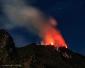
Source : Vedur is.
Photo : Gisli olfsson 05.09.2021 ( via Bernard Duyck / http://www.earth-of-fire.com/ )
Alaska , Semisopochnoi :
51°55’44 » N 179°35’52 » E,
Summit Elevation 2625 ft (800 m)
Current Volcano Alert Level: WATCH
Current Aviation Color Code: ORANGE
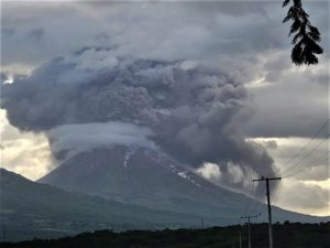
Eruptive activity continues at the north crater of Mount Cerberus on Semisopochnoi Island. Several explosions occurred over the past 24 hours, detected seismically and by infrasound networks. Continuous ash and gas emissions continue to be observed in satellite data and in web camera images when weather conditions are clear. The largest event over the past day at 01:57 UTC (13:57 AKDT on September 5) generated an ash cloud that reached about 15,000 ft asl. These larger events are short-lived (several minutes in duration) and the higher cloud dissipated quickly.
Small eruptions producing minor ash deposits within the vicinity of the active north crater of Mount Cerberus and ash clouds usually under 10,000 feet above sea level have characterized the recent activity, which shows no signs of abating. Small explosions may continue to occur and could be difficult to detect, especially during poor weather conditions.
Semisopochnoi Island is monitored by local seismic and infrasound sensors, satellite data, web cameras, and remote infrasound and lightning networks.
Source : AVO
Photo : Dietterich, Hannah / Alaska Volcano Observatory / U.S. Geological Survey
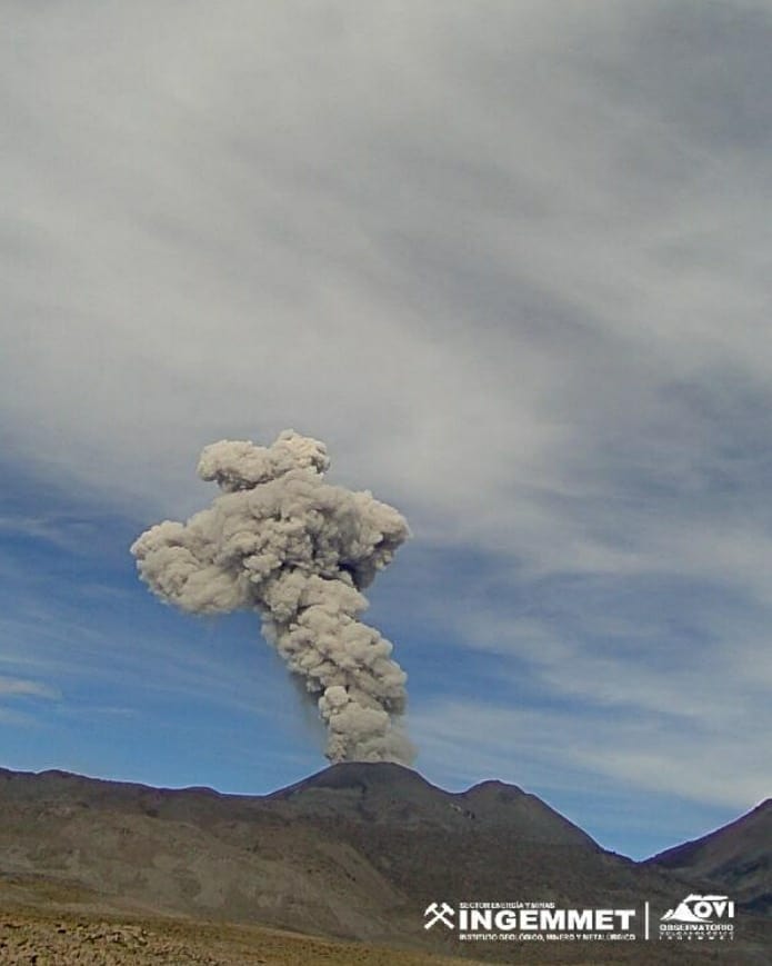
Mexico , Michoacán region :
In less than a month, UNAM geophysicists detected 242 microseisms in the Michoacán-Guanajuato volcanic corridor.
Geophysicists and geologists from the Autonomous University of Mexico (UNAM) say the possible birth of a new volcano in Uruapan, Michoacán, which would impact Guanajuato through the volcanic corridor between the two neighboring states.
Since the beginning of June, the geologists of the UNAM warn against this new phenomenon which they call a seismic swarm, that is to say a set of small tremors, some imperceptible to man.
From May 1 to June 8 alone, 242 microseisms were detected in the Uruapan region and in the Michoacán-Guanajuato volcanic corridor. Six of them with magnitudes greater than 4 degrees on the Richter scale, National Geographic collected from a UNAM statement.
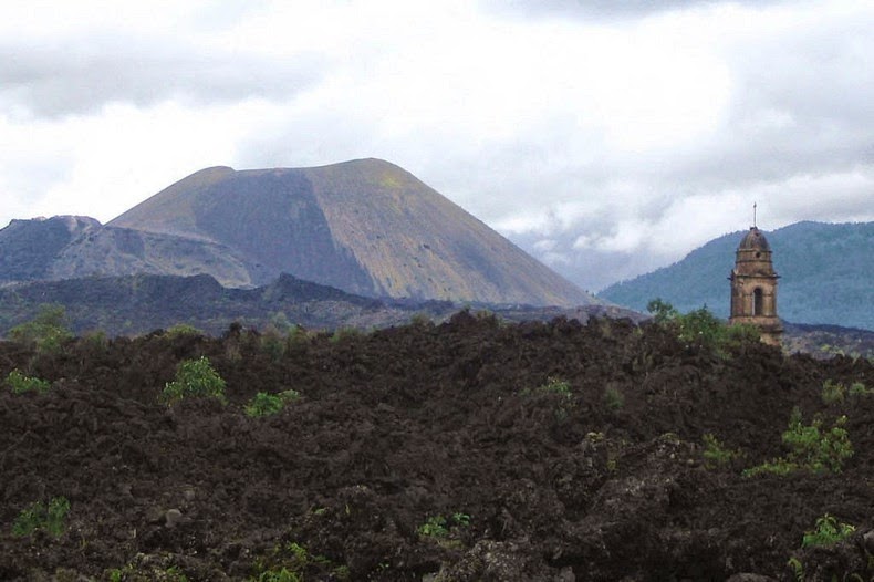
Uruapan, the municipality of Michoacán is located 280 kilometers from the state of Guanajuato, or three hours 42 minutes by car, but the geological phenomenon would affect the entity through the volcanic corridor that connects them, according to experts.
The earth movements that the inhabitants of these regions have experienced have increased in intensity over time.
From January 1 to June 8, 2021, 305 earthquakes were recorded, while last year, from January to this same date, 4,102 earthquakes were detected, explained Carlos Valdés González, researcher at the Institute of Geophysics. Denis Xavier François, researcher at the Institute, stressed the importance of monitoring this phenomenon, although he also explained that the magma does not always reach the surface.
This happened in the years 1997, 1999 and 2006 in Mexico. « Maybe the same thing happens, the movements of the magma will generate this seismicity but it will not reach the surface, » he explained at a virtual press conference.
Source : guanajuato.lasillarota.com
Photo : Lou Haskell ( Paricutin).
Northern Mariana Islands , Pagan :
18°7’48 » N 145°48′ E,
Summit Elevation 1870 ft (570 m)
Current Volcano Alert Level: WATCH
Current Aviation Color Code: ORANGE
Satellite observations during periods of clear weather over the past day show that ash emissions at Mount Pagan have paused. Emissions of sulfur dioxide gas were observed in satellite data from yesterday afternoon, extending for about 150 miles (250 km) towards the west at an altitude of less than 5000 ft asl. Further ash emissions are possible and could occur at any time.
Mount Pagan is not monitored with ground-based geophysical instrumentation. We will continue to evaluate satellite imagery, distal geophysical data, and mariner reports when available, but because the volcano is not monitored with ground-based instruments, we cannot provide advanced warning of activity.
Source : USGS.
Photo : US Navy.