30 Octobre 2021. FR . Espagne / La Palma : Cumbre Vieja , Alaska : Semisopochnoi , Equateur : Reventador , Kamchatka : Karymsky , Philippines : Taal , Mexique : Popocatepetl .
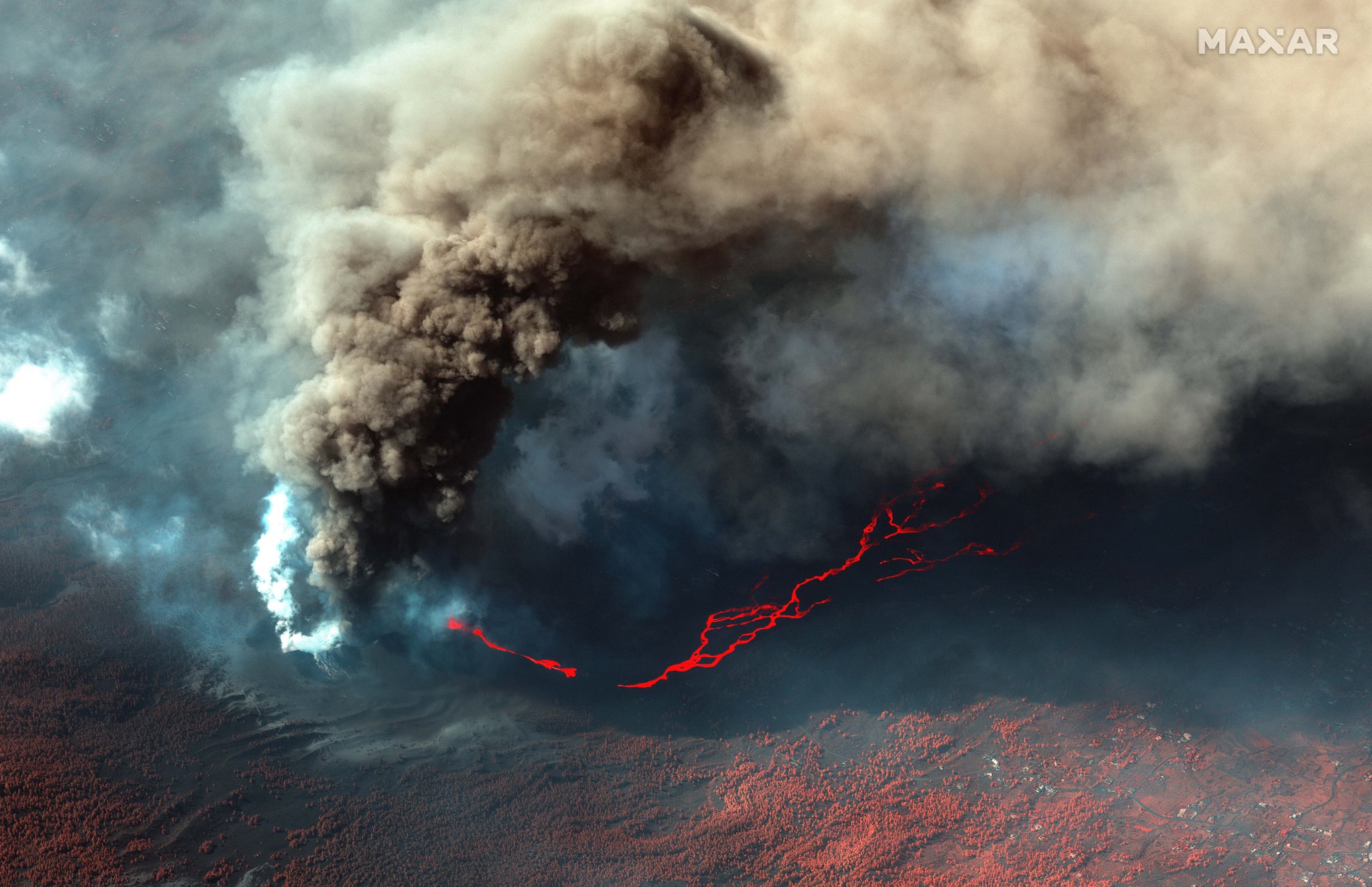
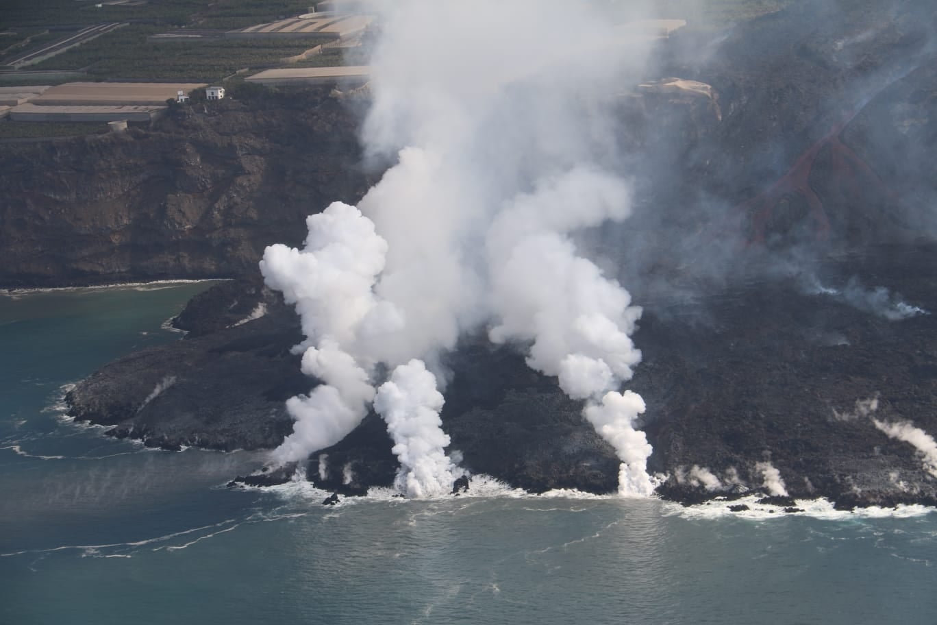
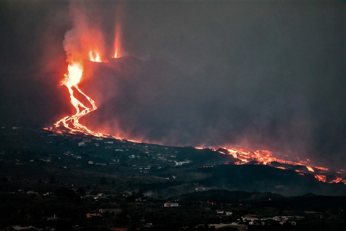
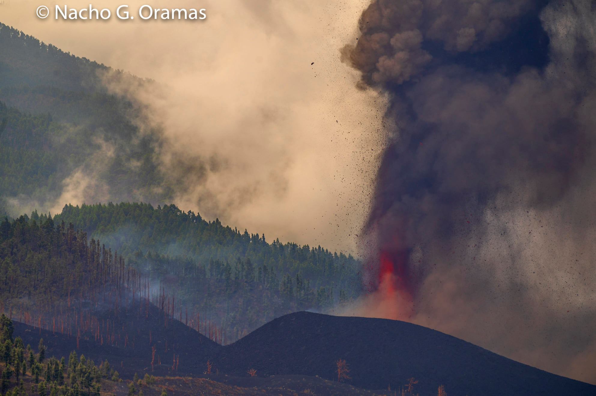
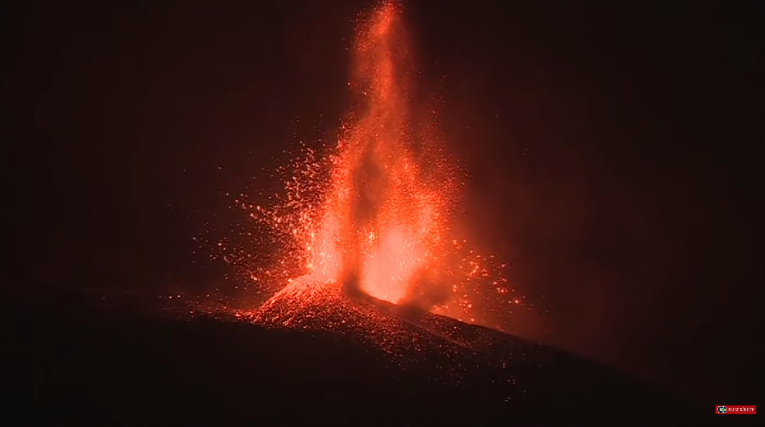
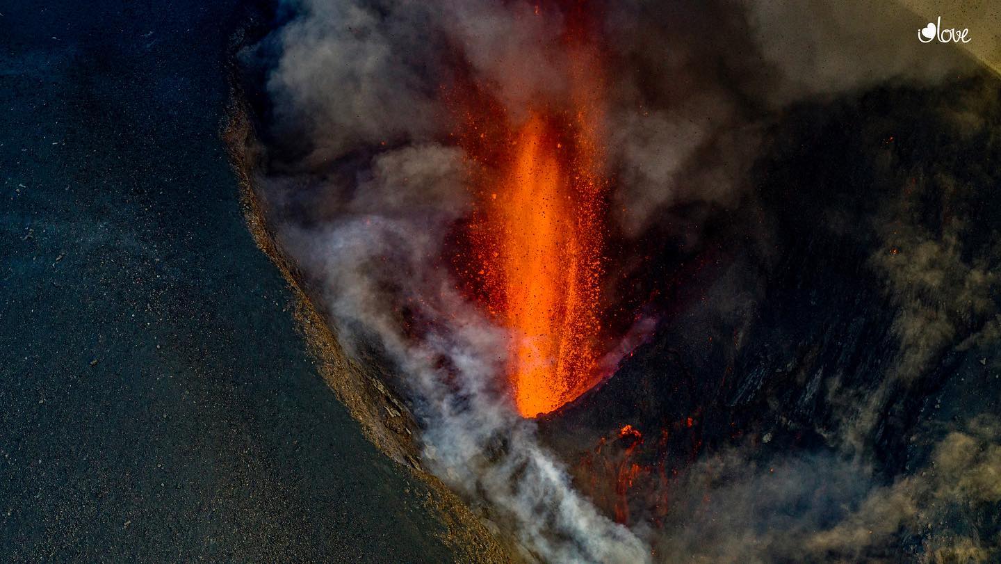
30 Octobre 2021. Espagne / La Palma , Cumbre Vieja : 29 Octobre 2021 , 11h30 UTC. L'activité éruptive se poursuit sur La Palma : Depuis le dernier…