April 30 , 2023.
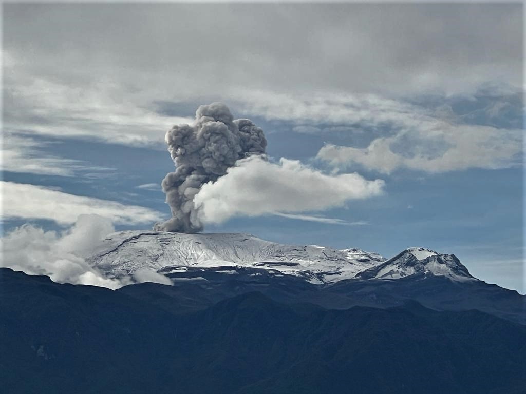
Colombia , Nevado del Ruiz :
Manizales, April 29, 2023, 9:55 a.m.
Regarding the monitoring of the activity of the NEVADO DEL RUIZ VOLCANO, the MINISTRY OF MINES AND ENERGY through the COLOMBIAN GEOLOGICAL SERVICE (SGC) informs that:
Yesterday April 28, the seismicity associated with the movement of fluids and the fracturing of the rock within the volcanic edifice, generally maintained a similar behavior in terms of number of earthquakes and seismic energy compared to the day before. . The seismicity was localized in the Arenas crater and its surroundings, within a radius of less than 2.5 km measured from there. According to the web cameras used for volcanic monitoring, several pulsating ash emissions have been confirmed, with a direction of dispersion towards the southwest and northwest of the volcano.
During the last hours, there has been a predominance of seismic activity associated with the movement of fluids inside the volcanic conduits, which has been associated with the emission of ash. At 07:38 this morning, a confirmed pulsating ash emission was recorded by the web cameras, with a column height of 1100 m and a direction of dispersion towards the West-South-West.
Finally, the degassing of sulfur dioxide in the atmosphere and the release of water vapor from the volcano continue. Although yesterday and until today it has not been possible to detect the
thermal anomalies by satellite monitoring platforms, mainly due to atmospheric conditions, it is important to mention that this does not mean that they do not continue to be present at the bottom of the crater.
Therefore, we reiterate that the activity of the Nevado del Ruiz volcano continues at the ORANGE LEVEL, which indicates that there is a probability that in days or weeks it will present a stronger eruption than it does. has done over the past 10 years.
Source et photo : SGC
Kamchatka , Sheveluch :
VOLCANO OBSERVATORY NOTICE FOR AVIATION (VONA)
Issued: April 3 ,20230430/0027Z
Volcano: Sheveluch (CAVW #300270)
Current aviation colour code: ORANGE
Previous aviation colour code: orange
Source: KVERT
Notice Number: 2023-66
Volcano Location: N 56 deg 38 min E 161 deg 18 min
Area: Kamchatka, Russia
Summit Elevation: 3283 m (10768.24 ft), the dome elevation ~2500 m (8200 ft)
Volcanic Activity Summary:
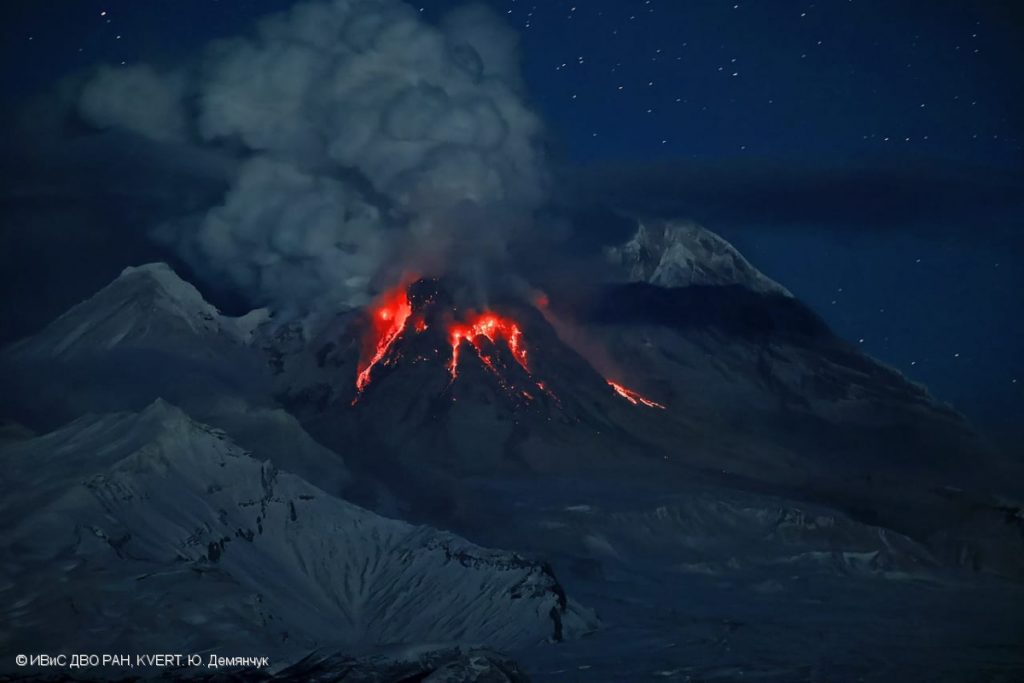
A growth of the lava dome continues, a strong fumarolic activity, an incandescence of the lava dome, and explosions accompanies this process. Satellite data by KVERT showed a gas-steam plume with some amount of ash extended about 60 km to the south-east from the volcano.
An extrusive eruption of the volcano continues. A danger of ash explosions up to 10 km (32,800 ft) a.s.l. is remains. Ongoing activity could affect international and low-flying aircraft.
Volcanic cloud height:
3000-3500 m (9840-11480 ft) AMSL Time and method of ash plume/cloud height determination: 20230429/2350Z – Himawari-9 14m15
Other volcanic cloud information:
Distance of ash plume/cloud of the volcano: 60 km (37 mi)
Direction of drift of ash plume/cloud of the volcano: SE / azimuth 135 deg
Time and method of ash plume/cloud determination: 20230429/2350Z – Himawari-9 14m15
Source : Kvert
Photo : Yu. Demyanchuk, IVS FEB RAS, KVERT
Ecuador , Reventador :
DAILY REPORT OF THE STATE OF THE REVENTADOR VOLCANO, Friday April 28, 2023.
Information Geophysical Institute – EPN.
Surface Activity Level: High, Surface Trend: Unchanged
Internal activity level: Moderate, Internal trend: No change
Seismicity: From April 27, 2023, 11:00 a.m. to April 28, 2023, 11:00 a.m.:
Due to technical problems in the seismic stations, there is no data for the daily count of events.
Rains / Lahars:
Light rain was reported midday and last night, according to information from the SOTE ranger in the Reventador area.
Emission / Ash Column:
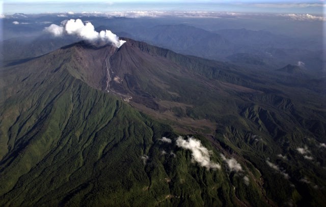
No emission was observed by the cameras. However, the Washington VAAC reported ash emissions with heights of 1,000 and 1,300 meters above the summit, heading northwest.
Other Monitoring Parameters:
No thermal anomaly has been recorded in the past 24 hours.
Observation:
The volcano remained cloudy most of the time.
Alert level: Orange.
Source : IGEPN.
Photo : Patricio Ramon, 2005 (Instituto Geofisca, Escuela Politecnica Nacional).
Chile , Lascar :
Seismology
The seismological activity of the period was characterized by the recording of:
198 VT-type seismic events, associated with rock fracturing (Volcano-Tectonics). The most energetic earthquake presented a value of local magnitude (ML) equal to 1.9, located 0.8 km east-south-east of the volcanic edifice, at a depth of 2.4 km from the crater.
92 LP-type seismic events, associated with fluid dynamics within the volcanic system (Long Period). The size of the largest earthquake assessed from the Reduced Displacement (DR) parameter was equal to 7 cm2.
14 TO-type seismic events, associated with fluid dynamics within the volcanic system characterized by its particular waveform (Tornillo). The size of the largest earthquake (DR) was equal to 9 cm2.
Geodesy
The deformation-related activity, during the period evaluated, was characterized by:
– Subtle modification of the surveillance line which crosses the crater from North to South, with a rate not exceeding 0.1 cm/month.
– The data processed with the PUNA station does not show any changes related to the deformation of the volcanic edifice. In general, minor variations that do not suggest deformations produced by the internal activity of the volcanic system.
Surveillance cameras
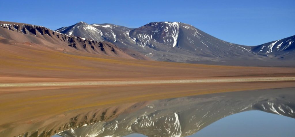
A permanent degassing of the active crater was recorded, with variable intensity and heights, up to 940 m (April 6). During the night hours, degassing is maintained without
incandescence, clearly visible given the favorable atmospheric conditions. No pyroclastic emission was recorded.
Satellite geomorphological analysis
From the observation of Skysat Collect, Planet Scope and Sentinel 2-L2A satellite images, the degassing of the active crater and the variations around its internal walls associated with rockfalls are identified. No other significant morphological change is identified.
YELLOW TECHNICAL ALERT: Changes in volcanic activity behavior
Observation: The possible assignment area is maintained within a radius of 5 km around the active crater.
Source : Sernageomin.
Photo : 80 jours voyages / Sylvain Chermette.
Guatemala , Santiaguito :
Weather conditions: Partly cloudy
Wind: North-West
Precipitation: 103.4 mm.
Activity:
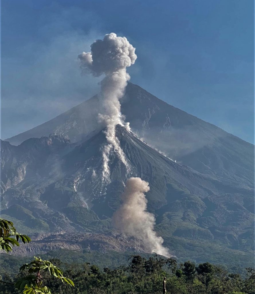
The observatory of the Santa María-Santiaguito volcanic complex reports activity in the Caliente dome with weak degassing 500 meters above its dome, which disperses to the southeast. There are frequent weak explosions accompanied by barely audible rumblings in the neighboring farms, which raise columns of water vapor and ash to heights between 500 and 1,000 meters above the dome, as well as the descent flows of blocks and ashes towards the western, southern, eastern and northern flanks of the Caliente dome. The incandescence of these flows is visible at night and in the early morning.
Explosions and flows keep the ash suspended in the environment around the domes, with the possibility of producing low ashfall on El Faro, La Florida, Paztulín, Santa Marta, as well as Viejo Palmar farms. It is recommended not to approach the lava flow in the Zanjón Seco and San Isidro channels, due to the intense heat it emits and the collapses that still occur on its edges, which could cause burns and other serious injury to those who approach it. The activity remains at a high level and continues to pile up material in an unstable manner on the cupola of the Caliente dome, as well as along the lava flow, so the possibility, with the explosions or under the effect of gravity, some of this material collapses and long-distance pyroclastic flows are generated to the southwest, south, and east.
Source and photo : Insivumeh

