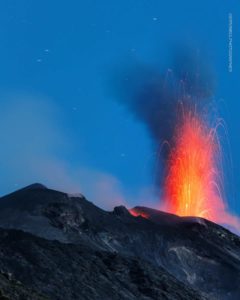
July 18 , 2022.
Ecuador , Chiles / Cerro Negro :
Information on the activity of VOLCÁN CHILES Nº 2022-003 , Quito, Sunday July 17, 2022 .
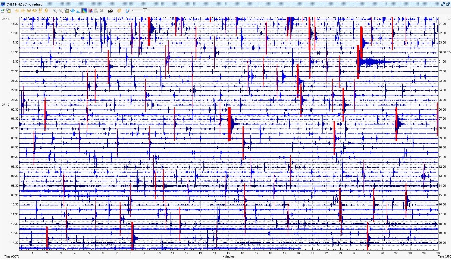
From 10:38 a.m. (local time) on Saturday, July 16, after the occurrence of the 3.5 Mlv magnitude event, a further increase in the internal activity of the Chiles – Cerro Negro volcanic complex was recorded, characterized by the occurrence long period type (LP) events with magnitudes less than 1 Mlv, and whose location is centered in the South – South West of the Chiles / Cerro Negro Volcanic Complex. The monitoring of this area is carried out jointly by the Geophysical Institute of the National Polytechnic School and the Volcanological and Seismological Observatory of Pasto.
Photo: CHL1 seismic signal reference station.
The Geophysical Institute is monitoring and any news will be reported
Source et photo : IGEPN.
Costa Rica , Turrialba :
Turrialba volcano activity report, July 17, 2022.
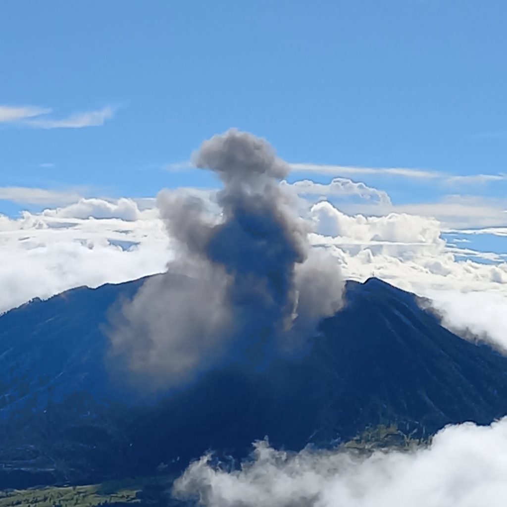
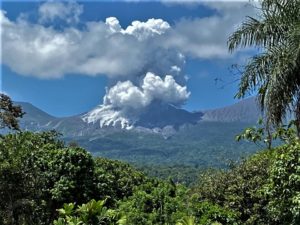
On July 17, 2022 at 07:49 local time, an eruption is recorded at the level of the Turrialba volcano, with a column that rose 200 meters above the height of the crater and 3540 meters above sea level .(11611.2 feet).
Duration of the activity: 1 minute.
The winds blow to the southwest.
Ash fall reported: No ash fall is reported
Sulfur odor reported: No sulfur odor reported
Comments: short-lived ash pulse.
A small eruption was recorded at 7:49 a.m. lasting about 1 min or less. An associated ash pulse rose approximately 200m and spread southwestward. Visitors to Irazú Volcano have reported ash fall. Seismic activity shows no change. The deformation was maintained with a tendency to contraction. Satellites have not detected SO2 in the atmosphere since June 25.
Source : Ovsicori.
Photo : Isidro Billo Sanchez Gonzalez.
Hawaii , Kilauea :
19°25’16 » N 155°17’13 » W,
Summit Elevation 4091 ft (1247 m)
Current Volcano Alert Level: WATCH
Current Aviation Color Code: ORANGE
Activity Summary:
The summit eruption of Kīlauea Volcano, within Halemaʻumaʻu crater, has continued over the past 24 hours. All recent lava activity has been confined to the crater and current data indicate that this scenario is likely to continue. No significant changes have been noted at the summit or in either rift zone.
Summit Observations:
Eruption of lava from the Halemaʻumaʻu western vent into the active lava lake has continued over the past 24 hours. The lava level of the active lake surface remained at the level of the bounding levees. Overnight webcam views showed glow in the western vent complex. Measurements from an overflight on July 7, 2022 indicated that the crater floor had seen a total rise of about 130 meters (427 feet) . Summit tiltmeters began a second inflationary trend this morning. A sulfur dioxide (SO2) emission rate of approximately 1,500 tonnes per day (t/d) was measured on July 15, 2022. Summit tremor is steady for this eruption’s long term base-line level
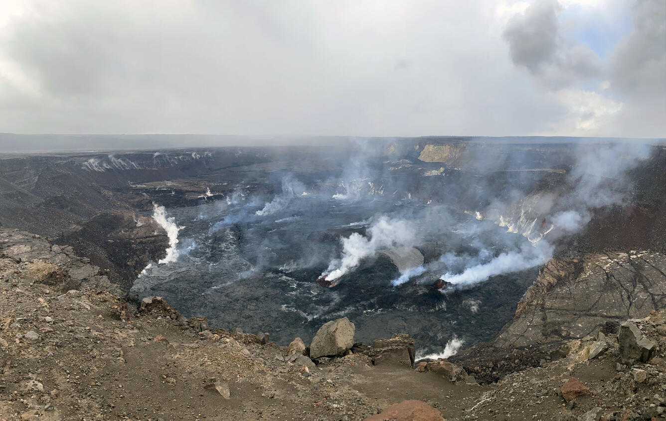
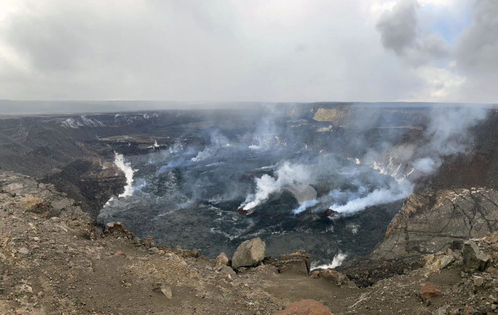
A photo of Halema‘uma‘u crater, at Kīlauea summit, taken on July 13 from the western rim of the crater. SO2 gas emissions remain elevated and were measured at about 1250 tonnes per day on July 14. Volcanic gases, and steam from rain on the crater floor, often obscured visibility with only intermittent views of the crater floor and active lava lake.
Rift Zone Observations:
No unusual activity has been noted along the East Rift Zone or Southwest Rift Zone; steady rates of ground deformation and seismicity continue along both. Measurements from continuous gas monitoring stations downwind of Puʻuʻōʻō in the middle East Rift Zone remain below detection limits for SO2, indicating that SO2 emissions from Puʻuʻōʻō are negligible.
Source : HVO
Photo : USGS / L. DeSmither.
Kamchatka , Sheveluch :
VOLCANO OBSERVATORY NOTICE FOR AVIATION (VONA)
Issued: July 18 , 2022.
Volcano: Sheveluch (CAVW #300270)
Current aviation colour code: ORANGE
Previous aviation colour code: orange
Source: KVERT
Notice Number: 2022-76
Volcano Location: N 56 deg 38 min E 161 deg 18 min
Area: Kamchatka, Russia
Summit Elevation: 3283 m (10768.24 ft), the dome elevation ~2500 m (8200 ft)
Volcanic Activity Summary:
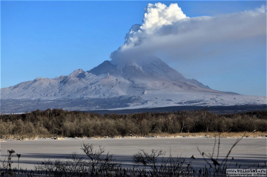
A growth of the lava dome continues, a strong fumarolic activity, and an incandescence of the lava dome, explosions, and hot avalanches accompanies this process. Video and satellite data by KVERT showed a plume of resuspended ash up to 3.5 km a.s.l. extending to the east-south-east from the volcano.
The extrusive eruption of the volcano continues. Ash explosions up to 10-15 km (32,800-49,200 ft) a.s.l. could occur at any time. Ongoing activity could affect international and low-flying aircraft.
Volcanic cloud height:
3000-3500 m (9840-11480 ft) AMSL Time and method of ash plume/cloud height determination: 20220718/0340Z – Suomi NPP (14m15)
Other volcanic cloud information:
Distance of ash plume/cloud of the volcano: 127 km (79 mi)
Direction of drift of ash plume/cloud of the volcano: ESE / azimuth 119 deg
Time and method of ash plume/cloud determination: 20220718/0340Z – Himawari-8
Source : Kvert.
Photo : Yu. Demyanchuk.
Alaska , Pavlof :
55 ’25’2″ N 161′ 53’37 » W,
Summit Elevation 8261 ft (2518 m)
Current Volcano Alert Level: WATCH
Current Aviation Color Code: ORANGE
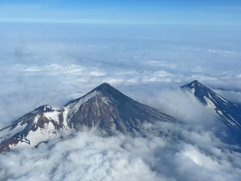
Pavlof Volcano continues to erupt from the vent on the east flank just below the volcano’s summit. Seismic tremor and multiple small explosions were detected in local seismic and infrasound data, as well as on several regional stations. No activity was observed in cloud satellite and web camera views of the volcano.
Small explosions associated with the current eruption could happen at any time and may be accompanied by small ash plumes within the immediate vicinity of the volcano. The level of unrest at Pavlof can change quickly and the progression to more significant eruptive activity can occur with little or no warning.
Pavlof is monitored by local seismic and infrasound sensors, satellite data, web cameras, and remote infrasound and lightning networks.
Source : AVO.
Photo : Ben David Jacob.

