July 13 , 2022.
Canary Islands , Tenerife :
– Yesterday Tuesday, July 12, 2022, from 05:50 a.m. (Canary time), the Canary Islands seismic network, operated by the Volcanological Institute of the Canary Islands (INVOLCAN) – records a swarm of very low magnitude hybrid events located under the Teide volcano. So far (09:00 Canary Islands time), at least 350 small seismic events have been identified.
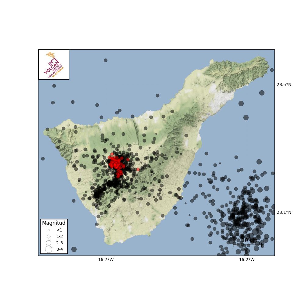
-Informative update on the seismic swarm on the Teide (12:30 p.m. Canary time): the seismic swarm of hybrid events that the Canarian seismic network, operated by INVOLCAN, recorded from 05:50 Canary time today July 12, 2022, already showed more than 630 events detected, very small in magnitude. The events take place in the vicinity of Teide, at depths between 9 and 12 km.
The following figures show the number of events detected for each hour and the location of the events that have been located so far, and which reach several hundred (in black the earthquakes located during the last year, in red the events of the swarm.
Update on the Teide seismic swarm (2:30 p.m. Canarian time): Since 12 p.m. (Canarian time) today, July 12, 2022, the Canarian seismic network, operated by INVOLCAN, no longer records hybrid events. So there is a good chance that this swarm is over. We recall that the most probable origin of this type of swarm is the movement of fluids such as steam, gas or water, inside the hydrothermal system of the Teide volcano. Today’s swarm does not imply a higher probability of an eruption, but it does remind us that Tenerife remains a volcanically active island.
Source : Involcan
Photo : Pico Viejo , real-estate-tenerife.eu
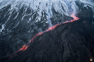
Italy / Sicily , Etna :
WEEKLY BULLETIN, from July 4, 2022 to July 10, 2022. (issue date July 12, 2022)
SUMMARY OF STATUS OF ACTIVITY
In the light of the surveillance data, it is highlighted:
1) VOLCANOLOGICAL OBSERVATIONS: Degassing activity of the summit craters
2) SEISMOLOGY: Weak seismic activity of fracturing, amplitude of the tremor at medium-high levels.
3) INFRASOUND: Infrasound activity increases with sources concentrated near Bocca Nuova.
4) GROUND DEFORMATIONS: Signals from deformation networks did not show significant changes in this reference week
5) GEOCHEMISTRY: SO2 flux at an average level.
Soil CO2 flux shows average values.
The partial pressure of dissolved CO2 in the aquifer shows values in seasonal variability.
There are no updates on the isotope ratio of helium. The latest data related to June 23, 2022 and was at medium-high values.
6) SATELLITE OBSERVATIONS: The thermal activity observed by satellite in the summit area was at a low level.
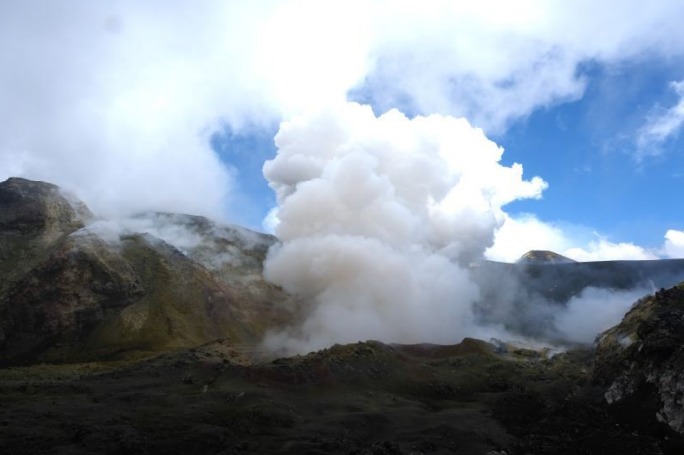
Intense degassing of the Bocca Nuova (BN) crater seen by INGV personnel during the July 8 inspection.
VOLCANOLOGICAL OBSERVATIONS
During the week in question, the monitoring of Etna’s volcanic activity was carried out through the analysis of images from the network of surveillance cameras of the INGV, Osservatorio Etneo (INGV-OE) and an inspection in the summit area carried out by INGV-OE staff on Friday 8 July.
In general, the state of activity of the summit craters did not show significant changes compared to what was observed during the last week, and was characterized exclusively by degassing activities.
In particular, the degassing activity of the summit craters was mainly carried out by the collapse craters located in the North-West sector of Bocca Nuova, characterized by an intense sometimes impulsive degassing. During the July 8 inspection, the BN1 vent was affected by degassing sometimes accompanied by rumbling, while the degassing at the BN2 vent was accompanied by emissions of very dilute reddish ash.
The Southeast Crater, on the other hand, showed degassing related to the fumarole systems present along the edges of the crater.
Finally, the Northeast Crater, whose bottom of the crater is obstructed, is affected by weak gas emissions from certain fumaroles present on the internal walls of the crater, while the Voragine crater shows no degassing activity.
Source : INGV.
Photo : INGV.
Italy , Stromboli :
WEEKLY BULLETIN, from July 4, 2022 to July 10, 2022. (issue date July 12, 2022)
SUMMARY OF ACTIVITY STATUS:
In the light of the surveillance data, it is highlighted:
1) VOLCANOLOGICAL OBSERVATIONS: Explosive volcanic activity of the Strombolian type with a frequency and total intensity of low level explosions both in the North and Center-South zones.
2) SEISMOLOGY: The seismological parameters monitored do not show any significant variations.
3) GROUND DEFORMATIONS: During the period under review, the island’s ground deformation monitoring networks did not record any significant variations.
4) GEOCHEMISTRY: SO2 flux at a low level.
CO2 fluxes in the crater area remain at average values (about 6600 g/m2*g).
The average weekly value of the C/S ratio in the plume is on average values (C/S = 5.6)
There are no updates on the isotope ratio of helium in groundwater.
5) SATELLITE OBSERVATIONS: The thermal activity observed by satellite in the summit area was at a low level.
VOLCANOLOGICAL OBSERVATIONS
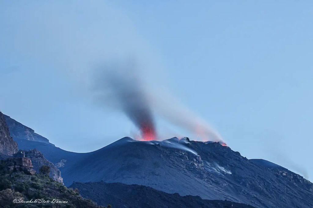
During the observation period, the eruptive activity of Stromboli was characterized by analyzing the images recorded by the INGV-OE surveillance cameras (altitude 190m, Punta Corvi, altitude 400m and Pizzo). The explosive activity was produced by 4 eruptive vents located in the North crater area and by 2 located in the Center-South crater area; all eruptive vents are located within the depression that occupies the crater terrace.
In detail, in the area of the North crater, the activity was produced by the crater N1 with modest explosions with a predominant component of fine materials (ash) compared to coarse materials, while N2 showed continuous degassing coupled with slight explosions consisting of sustained jets and prolonged in time. Overall, the frequency and intensity of activity remained at a low level with product emissions out to ~60 meters.
Activity in the CS crater area was produced only by crater S2 and was characterized by medium to low frequency and intensity and emitted products up to ~30 meters on the crater terrace.
Overall, the frequency of explosions was at a low level with a slight prevalence of the N zone compared to that of the CS
Source : INGV.
Photo : Stromboli stati d’animo
Alaska , Pavlof :
55 ,25’2″ N 161, 53’37 » W,
Summit Elevation 8261 ft (2518 m)
Current Volcano Alert Level: WATCH
Current Aviation Color Code: ORANGE
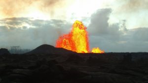
Pavlof Volcano continues to erupt from the vent on the east flank just below the volcano’s summit. Seismic tremor and multiple small explosions were detected in local seismic and infrasound data, as well as on several regional stations. Minor ash emissions were observed in clear web camera images. Satellite data showed elevated surface temperatures over the last day and reflect the continued eruption of a small lava flow on the upper part of the volcano.
Small explosions associated with the current eruption could happen at any time and may be accompanied by small ash plumes within the immediate vicinity of the volcano. The level of unrest at Pavlof can change quickly and the progression to more significant eruptive activity can occur with little or no warning.
Pavlof is monitored by local seismic and infrasound sensors, satellite data, web cameras, and remote infrasound and lightning networks.
Source : AVO
Photo : Ferguson-Gould, Tara / Alaska Volcano Observatory / University of Alaska Fairbanks, Geophysical Institute .
Colombia , Chiles / Cerro Negro :
Weekly activity bulletin of the Chiles and Cerro Negro volcanoes.
Volcano activity continues at YELLOW LEVEL ■ (III): CHANGES IN THE BEHAVIOR OF VOLCANIC ACTIVITY.
From monitoring the activity of the CHILES AND CERRO NEGRO VOLCANOES, the COLOMBIAN GEOLOGICAL SERVICE (SGC) reports that:
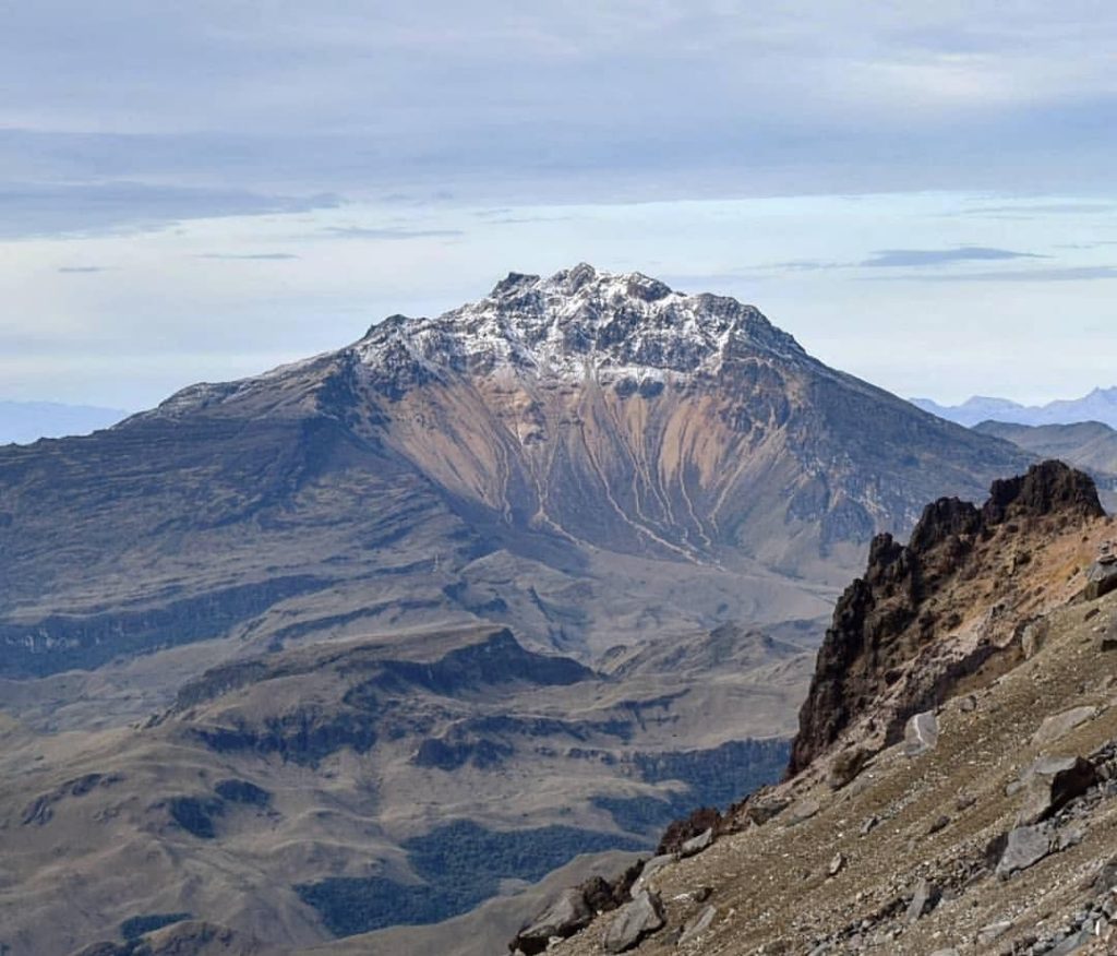
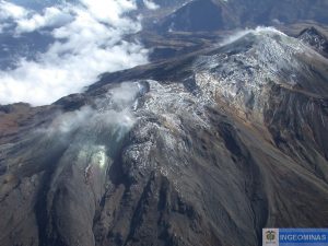
For the period evaluated between July 5 and July 11, 2022, the seismic swarm process started on May 27, 2022 was maintained, showing fluctuations, both in the number and in the daily energy of earthquakes. During this week, 9325 events were recorded, with the predominance of earthquakes associated with a fracture of the cortical material inside the volcano, which were located mainly near the summit and south of the Chiles volcano, with epicentral distances up to 10.2 km and depths less than 9.6 km from its summit (4700 m).
19 of these events had local magnitudes (ML) greater than or equal to M2.0, 1 of which was reported as felt within the volcanic influence zone, recorded on July 8 at 9:20 a.m. with
local magnitude of M3.0.
On the other hand, some sensors that are part of the deformation network show low amplitude changes. No manifestation of surface activity has been observed and the other volcanic monitoring parameters remain stable.
Source : SGC
Photo : Travelgrafía
Iceland , Reykjanes Peninsula :
On July 12 , at 08:29, an earthquake M3.4 occurred 6.5 km NE of Reykjanestá as a part of a swarm. The earthquake was felt in Reykjanesbær. A M3.3 earthquake was measured in the same area at 08:16.
Around 690 earthquakes were detected by IMO’s SIL seismic network this week and they were all located manually. This is considerably fewer earthquakes than the previous week when around 1190 earthquakes were detected. Much of the difference can be explained by less activity in the Reykjanes Peninsula, but strong winds during the week may also have diminished the networks’ ability to detect small earthquakes. The largest earthquake of the week was an M3.2 on Reykjanes Ridge on July 4th. Three more M3 earthquakes were detected this week, two at Reykjanes Ridge and one at Katla Volcano. No reports have reached the IMO that these earthquakes were felt in the area. Three small earthquakes were detected on Hekla and seven on Grímsvötn.
Source and photo : Vedur is


