February 15 , 2021.
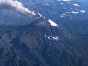
Philippines , Kanlaon :
KANLAON VOLCANO BULLETIN: 15 FEBRUARY 2021 08:00 A.M.
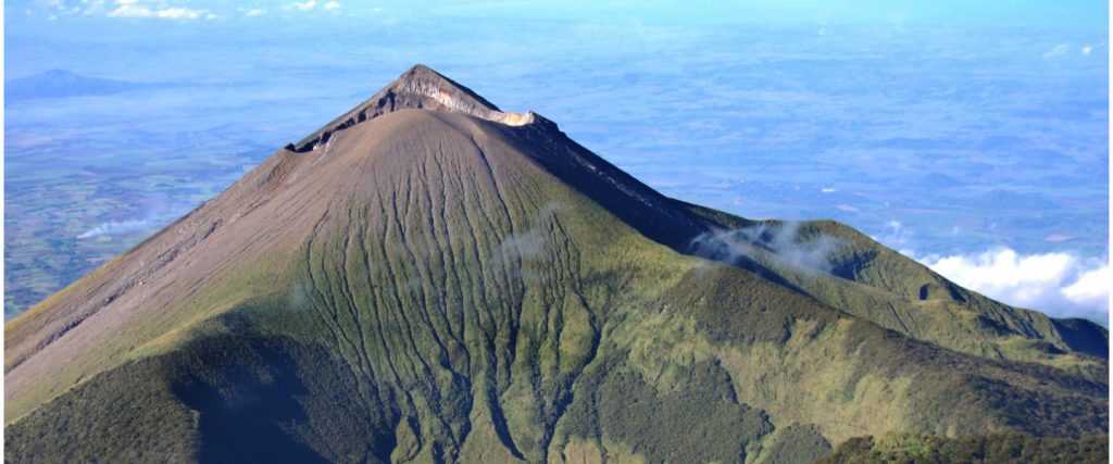
Kanlaon Volcano’s monitoring network recorded twenty-six (26) volcanic earthquakes during the 24-hour observation period. Moderate emission of white steam-laden plumes that rose 500 meters before drifting southwest and northwest was observed. Sulfur dioxide (SO2) emission was measured at an average of 1130 tonnes/day on 13 February 2021. Ground deformation data from continuous GPS and electronic tilt measurements have been recording a slight inflation of the lower and middle slopes since June 2020. These parameters may indicate hydrothermal, tectonic, or deep-seated magmatic processes occurring deep beneath the edifice.
DOST-PHIVOLCS would like to remind the public that Kanlaon Volcano is at Alert Level 1, which means that it is at an abnormal condition and has entered a period of unrest. The local government units and the public are strongly reminded that entry into the 4-kilometer radius Permanent Danger Zone (PDZ) must be strictly prohibited due to the further possibilities of sudden and hazardous steam-driven or phreatic eruptions. Civil aviation authorities must also advise pilots to avoid flying close to the volcano’s summit as ejecta from any sudden phreatic eruption can be hazardous to aircraft.
DOST-PHIVOLCS is closely monitoring Kanlaon Volcano’s activity and any new development will be relayed to all concerned.
Source et photo : Phivolcs .
Guatemala , Fuego :
Informative bulletin n ° 080-2021
The scientific entity of the National Coordination System for Disaster Prevention -CONRED-, the National Institute of Seismology, Volcanology, Meteorology and Hydrology -INSIVUMEH-, reported on the eruptive phase of the Fuego volcano, which during this February 14, 2021, is seen as an effusive eruption with pyroclastic flows.
INSIVUMEH, informs through its special volcanological bulletin n ° BEFGO-019-2021 that the descent of a series of pyroclastic flows has been recorded on the Fuego volcano, which represents the evolution of the activity towards a state of eruption declared. This series of pyroclastic flows occurred in the direction of the Ceniza canyon from 10:20 a.m., lasting three minutes and moving several hundred meters. According to information shared by the country’s scientific body, the network of seismic stations has recorded since February 12 a change in the eruptive pattern of the volcano.
Pyroclastic flows are a mixture of ash, rocks and volcanic gases at high temperature, which can move several kilometers per hour and affect vegetation, infrastructure, the road network, as well as cause burns and respiratory problems in people. people and animals.
The activity in the crater generates two lava flows in the direction of the canyons of Ceniza and Seca, approximately 1,500m long, as well as explosions with ash columns with a height of 4,600 meters above the level of the sea.
In addition, ash falls are reported in the municipalities of the department of Sacatepéquez.
At the time of publication of this bulletin, the coordination of places that can serve as shelters has been carried out in case it becomes necessary, it is recommended that the population be aware of their local response plans, evacuation plans and cases where she feels her life is in danger, promote the principle of self-evacuation at all times.
Source et photo : Conred.
Costa Rica , Turrialba / Poas / Rincon de la Vieja / Irazu :
Turrialba volcano
Lat: 10.025 ° N; Long: 83.767 ° W;
Height: 3340 m.s.n.m.
Current activity level: 2 (active volcano)
Potentially associated hazards: gas, ash emission, proximal ballistic projections.
No ash emission was observed. The number of daily earthquakes remains stable, the tremors are short harmonic tremors without or with prior LP. VT-type events are located under the crater and are of low amplitude. The contraction trend continues despite a tectonic push from the Panamanian bloc. The average of the CO2 / SO2 and H2S / SO2 ratios remains at values similar to those of last week (22.8 ± 6.4 and 0.37 ± 0.16, respectively). No thermal anomaly was detected by the MODIS analysis.
Poas volcano
Lat: 10.2 ° N; Long: 84.233 ° W;
Height: 2780 m.s.n.m.
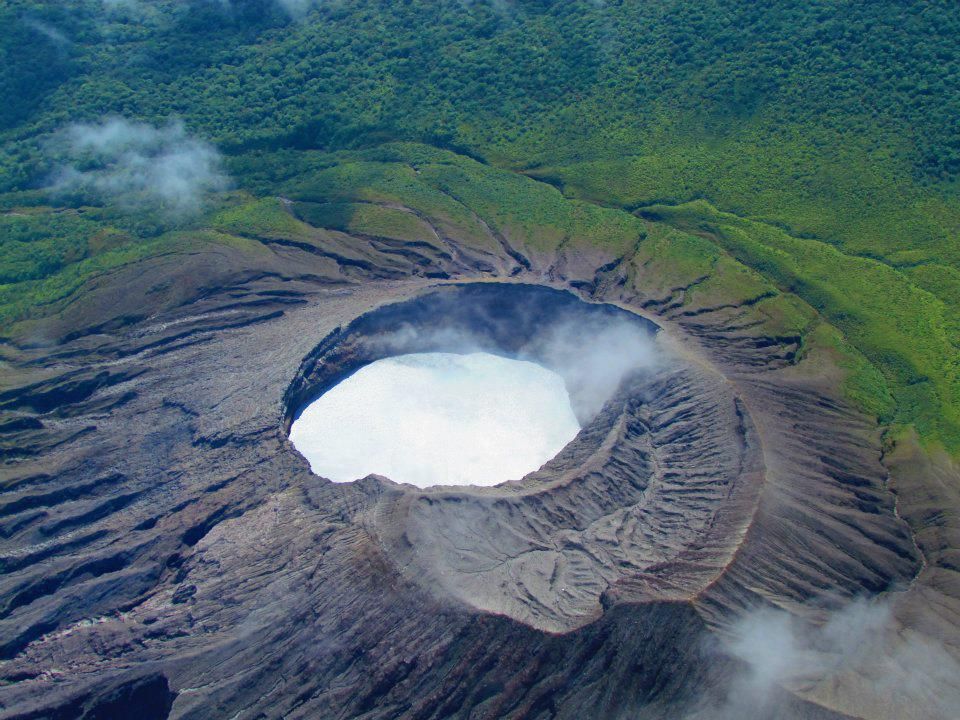
Current activity level: 2 (active volcano)
Potentially associated hazards: gas, phreatic eruptions, proximal ballistic projections
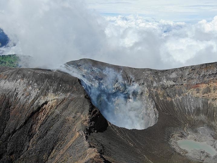
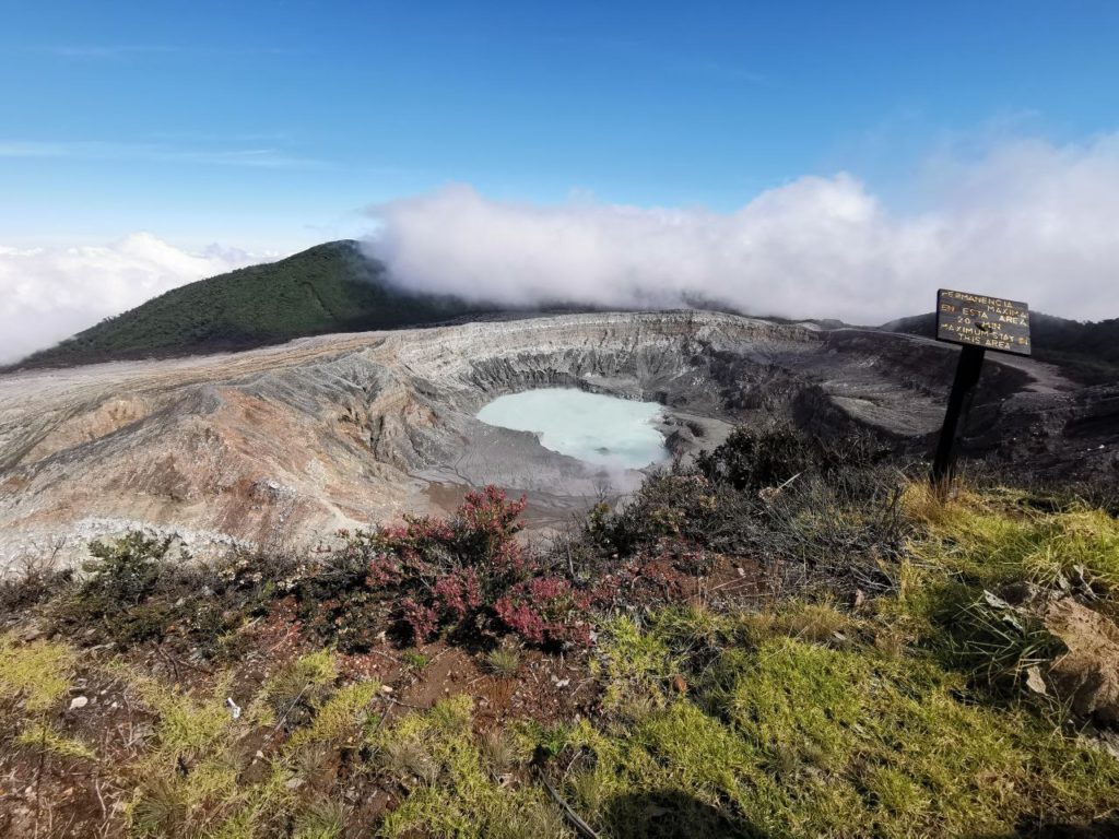
No eruption was detected. Slightly more daily LP-like events were detected, possibly due to a decrease in background noise. Few proximal VT-type events were recorded and the few distal VT-type events did not form swarms. GPS equipment has not detected any significant deformation of the volcano over the past month. The SO2 / CO2 ratio remains variable with a slight downward trend, but it is not yet significant. The SO2 flow remains stable, slightly below 150 t / d on average. The lake level has risen by approx. 20 cm. No thermal anomaly was detected by the MODIS analysis.
Rincon de la Vieja volcano
Lat: 10.83 ° N; Long: 85.324 ° W;
Height: 1895 m.s.n.m.
Current activity level: 2 (active volcano)
Potentially associated hazards: gas, phreatic eruptions, proximal ballistic projections.
No eruption has been detected since early December. The seismic activity remains low, the RSAM is low. Few VT type events were recorded south of the Las Pailas sector, and a few LP type events. The frequency value of « tornillos » type events is around 8 Hz, a value similar to December 2019. The tremor is a narrow band between 2 and 5 Hz, with a dominant frequency of 2.9 Hz. The GPS has detected a new extension, similar to that observed in early December 2020, but it is of small magnitude. The geochemical monitoring parameters of the Santuarium water source are stable. A thermal anomaly was detected by the MODIS analysis similar to previous years in this time of year but it is of anthropogenic origin.
Irazu volcano
Lat: 9.979 ° N; Long: 83.852 ° W;
Altitude: 3432 m.s.n.m.
Current activity level: 1 (active)
Potentially associated hazards: landslides.
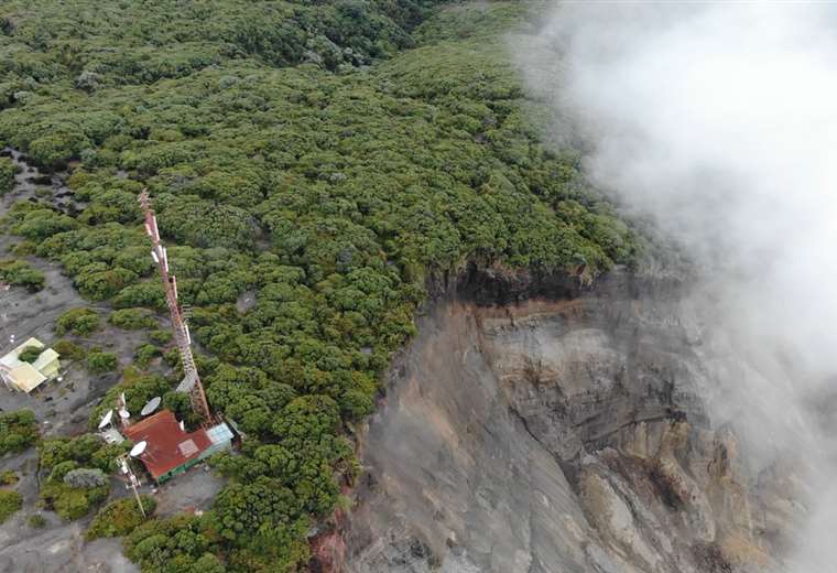
No earthquakes were detected during the week associated with Irazú. The main landslide in the western sector of the volcano continues to accelerate, at speeds of less than 15 cm / year (August-November 25 cm / year). Based on new photogrammetric data, the August 24, 2020 landslide is estimated to have totaled 23 ± 3 million m3. Since that date, landslides represent a total of 0.7 to 1 million m3 additional. The concentration of CO2 on the northern flank of the volcano is similar to last week.
Source : Ovsicori .
Photos : G. Avard / Ovsicori , RSN, Jean Paul Calvo , Raul Mora / RSN / UCR , Teletica .
Hawaii , Kilauea :
19°25’16 » N 155°17’13 » W,
Summit Elevation 4091 ft (1247 m)
Current Volcano Alert Level: WATCH
Current Aviation Color Code: ORANGE
Activity Summary:
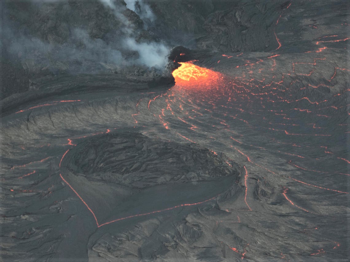
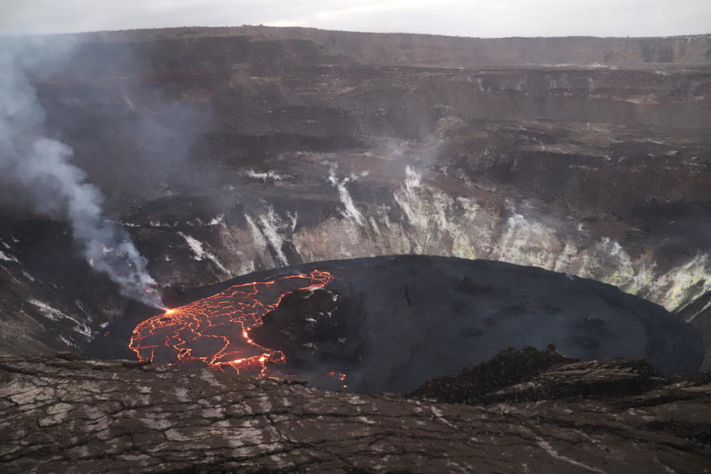
Kīlauea Volcano is erupting. Lava activity is confined to Halemaʻumaʻu with lava erupting from a vent on the northwest side of the crater. As of the morning of February 14, the lava in the western, active portion of the lake in Halema‘uma‘u was about 216.5 m (711 ft) deep, with the eastern portion of the lava lake solidified at the surface. SO2 emission rates remain elevated.
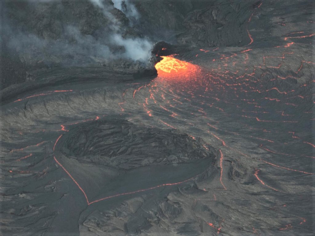
The flow of the lake around a small island, south of the inlet zone, formed a heart-shaped outline in the western portion of the lava lake in Halema‘uma‘u at Kīlauea Volcano’s summit.
Summit Observations:
The most recent sulfur dioxide emission rate measurements from February 12 are about 1,100 t/d—lower than the emission rates from the pre-2018 lava lake (around 5,000 t/d). The summit tiltmeters show that the inflation of the last few days leveled off beginning yesterday afternoon. Seismicity remains elevated but stable, with elevated tremor and a few minor earthquakes.
Halemaʻumaʻu lava lake Observations:
Lava from the west vent continues to supply the lava lake within Halema‘uma‘u crater.
The active western half of the lava lake was approximately 216.5 m (711 ft) deep today on February 14, 2021.
Yesterday morning, HVO geologists observed effusion continued at the western fissure, with a small upwelling fountain at the inlet site on the western lake margin. From this small upwelling, the lava rapidly developed a thin crust and flowed outwards towards the east. Over the past day, a few lava spillovers just north of the inlet site have flowed around the northwestern margin of the perched lake.
Active lava remained limited to the western side of the main island.
Source : HVO.
Photos : USGS / M Patrick , N. Deligne .

