December 28 , 2019.
Costa Rica , Turrialba / Poas / Rincon de la Vieja :
Daily report on the state of volcanoes. OVSICORI-UNA, Date: December 27, 2019.
Updated at: 9:59:00 AM.
Turrialba volcano:
No eruption is reported.
Seismic activity is similar to that of yesterday.
At the time of this report, the winds were blowing southwest.
The volcano continues to degas from the main crater. The meteorological conditions of the area allow to observe a plume enriched with water vapor which, at the time of this report, does not exceed 300 m above the summit.
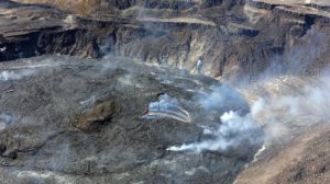
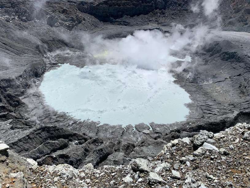
Poas Volcano:
No eruption is reported.
Seismic activity is similar to that of yesterday.
At the time of this report, the winds were blowing southwest.
The prevailing weather conditions in the region during the morning allowed to observe the activity in the crater, in which there is a grayish crater lake which covers a large part of the bottom of the crater, with a larger area than that included the ancient crater lake characteristic of the Poás volcano, in the years preceding the strong eruptive activity of recent times. The current lake almost completely covers the remains of the old dome which was south of the crater, which was destroyed during the intense eruptive activity mentioned. In addition, the activity of fumaroles continues, which is mainly observed towards the eastern sector of the crater, accompanied by sulfur emissions.
Rincon de la Vieja volcano:
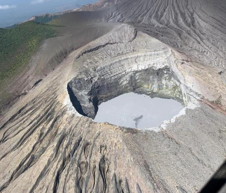
No eruption is reported.
Seismic activity is similar to that of yesterday.
The wind direction is unknown at this time.
The prevailing weather conditions in the region did not allow to observe the summit of the volcano in the morning today.
Source : Ovsicori .
Photos : Javier Elizondo , Martín Herrera Núñez , Chris Allen / Sunquest helitours / RSN .
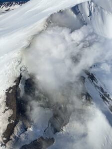
Alaska , Cleveland :
52°49’20 » N 169°56’42 » W,
Summit Elevation 5676 ft (1730 m)
Current Volcano Alert Level: ADVISORY
Current Aviation Color Code: YELLOW
Slightly elevated surface temperatures were observed in satellite data last weekend, but were not noted later in the week, although cloudy conditions obscured most views of the volcano. Seismicity remains low and no significant activity was observed in local or regional infrasound data during the week.
Additional episodes of lava effusion and explosions are likely and will occur without advance warning. The most recent explosion of Cleveland occurred on January 9, 2019. These explosions are normally short duration and only present a hazard to aviation in the immediate vicinity of the volcano. Larger explosions that present a more widespread hazard to aviation are possible, but less likely and/or frequent.
Cleveland volcano forms the western portion of Chuginadak Island, a remote and uninhabited island in the east central Aleutians. The volcano is located about 75 km (45 mi) west of the community of Nikolski, and 1500 km (940 mi) southwest of Anchorage. The most recent significant period of eruption began in February, 2001 and produced 3 explosive events that generated ash clouds as high as 39,000 ft above sea level. The 2001 eruption also produced a lava flow and hot avalanche that reached the sea. Since then, Cleveland has been intermittently active producing small lava flows, often followed by explosions that generate small ash clouds generally below 20,000 ft above sea level. These explosions also launch debris onto the slopes of the cone producing hot pyroclastic avalanches and lahars that sometimes reach the coastline.
Source : AVO .
Photo : Dave Clum .
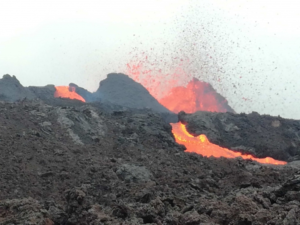
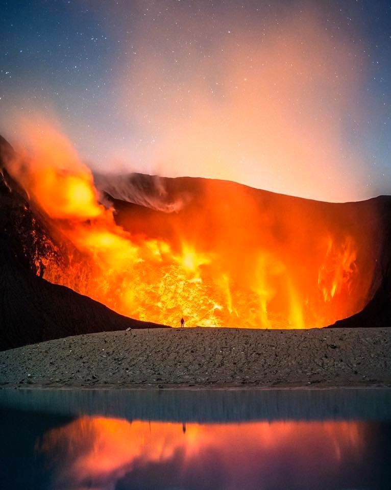
Guatemala , Fuego :
Special volcanological bulletin.
Updated by Flavio Emmanuel Muñoz Barrera on December 27, 2019, 11:43 local time
CHANGE OF WIND DIRECTION.
In the past few hours, OVFGO and OVFGO 3 stations have reported scattering of ash particles to the north and northeast of the Fuego volcano, due to the variability of the wind. A south-west wind is generated, these conditions favor that the ash columns disperse in the northeast and north over a distance of up to 20 km, with probabilities of falling fine particles of ash in the regions of ‘Alotenango, from Ciudad Vieja and Antigua Guatemala.
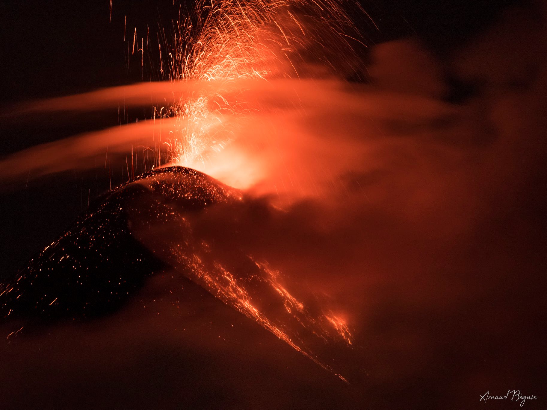
The activity of the Fuego volcano has been maintained in the activity ranges of the last days with an average of 15 to 18 explosions between low and moderate which generate columns of ash at 4200 – 4500 m above sea level (13780-14765 feet ). Low to moderate avalanches are generated towards the Seca, Taniluya, Ceniza, Trinidad and Las Lajas ravines. Due to the strong winds, ash particles are suspended on the sides of the cone of the volcano, so that the volcanic perimeter can be largely covered.
The seismic tremor was maintained in duration (10 to 17 min) and in amplitude, this is associated with the rise of the magma which feeds the active lava flow towards the Seca Canyon, with a length of about 600 m.
Source : Insivumeh.
Photo : Arnaud Béguin.
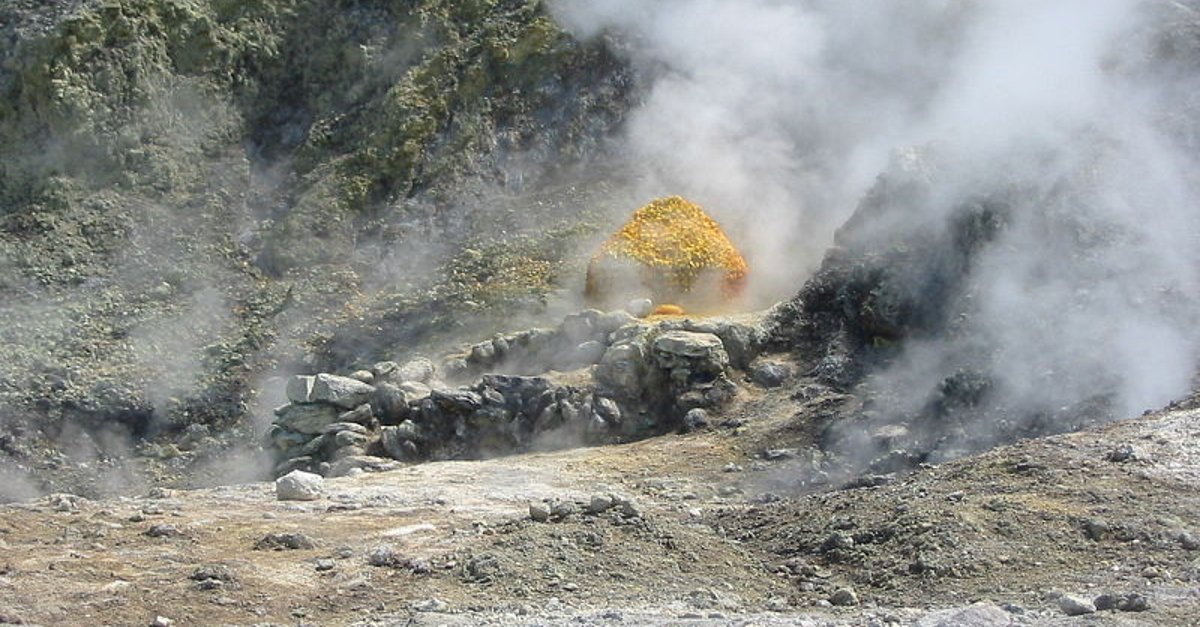
Italy , Campi Flegrei :
Weekly Bulletin December 17, 2019 – December 24, 2019
(Updated on December 24, 2019 at 12:00 p.m. local time)
SUMMARY STATEMENT OF ACTIVITY.
In light of the monitoring data:
1) Seismology: This last week in Campi Flegrei, 4 earthquakes of low magnitude (Mdmax = 1.3) have been recorded.
2) Deformation: The average uplift value has been around 0.7 cm / month since July 2017. The zone of maximum deformation seems to show a slight increase in speed which will be evaluated in the coming weeks. The lift recorded at the RITE GPS station is approximately 58.5 cm since January 2011.
3) Geochemistry: The flow of CO2 from the ground measured last week did not show any significant change compared to the previous period, which confirms the persistence of the long-term trend. Last week, the temperature of the main fumaroles of Pisciarelli, after a drop due to heavy rain events, showed an average value of around 113 ° C.
Seismology:
In the last seven days in Campi Flegrei, four earthquakes were recorded with -0.5≤Md≤1.3. It was possible to determine the hypocentric parameters of 3 recorded events.
Deformation:
GPS. The average uplift value of around 0.7 cm / month, recorded since July 2017, seems to show a slight increase in recent weeks. Associating it with the measurement time interval is still too short for a reliable estimate of the increase in the lifting speed which will be evaluated in the coming weeks. The uplift recorded at the RITE GPS station is approximately 58.5 cm since January 2011, including approximately 23 cm since January 2017.
Source : INGV.
Read the article: http://www.ov.ingv.it/ov/bollettini-campi-flegrei/Bollettino_Flegrei_2019_12_24.pdf
Photo : Wikipédia.