November 02 , 2019.
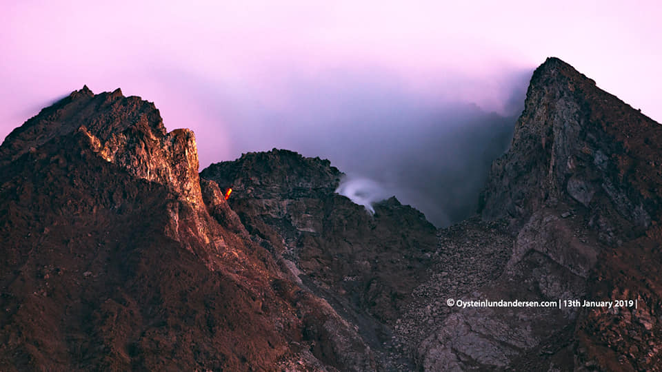
Indonesia , Merapi :
ACTIVITY REPORT OF MONT MERAPI, 25 – 31 October 2019
RESULTS OF OBSERVATIONS.
visual:
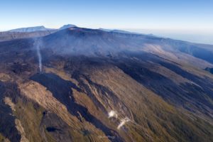
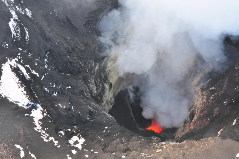
The weather around Mount Merapi is usually sunny in the morning, while the afternoon is foggy. There is a white smoke, thin to thick with low pressure. A maximum smoke height of 700 m was observed from the observation post at Mount Merapi in Selo on 31 October 2019 at 05.35.
Morphological analysis of the crater area based on photos from the Southeast sector revealed no significant morphological changes. In October 2019 the volume of the lava dome amounted to 416,000 m3. Compared with the previous measurements, the volume of the lava dome increased slightly due to the appearance of new materials appearing in the center of the dome fracture.
Seismicity:
This week the seismicity of Merapi recorded:
3 earthquakes of explosion. (DG)
18 deep volcanic earthquakes (VTA),
16 shallow volcanic earthquakes (VTB),
60 multiple phase earthquakes (MPs),
65 avalanche earthquakes (RF),
5 low frequency earthquakes (LF)
19 tectonic earthquakes (TT).
This week’s seismic intensity is higher than last week.
Deformation:
The deformation of G. Merapi, monitored by EDM and GPS this week, showed no significant change.
Rain and lahars:
This week, there was rain at the Mount Merapi observation post with a 26 mm / hour rain intensity for 65 minutes at Kaliurang station on October 31, 2019. There was no warning signal. lahar ni additional flow in the rivers spilling from Mount Merapi.
Conclusion:
Based on the results of the visual and instrumental observations, it was concluded that:
1. The lava dome is currently in a stable state with relatively low growth rates.
2. The volcanic activity of Mount Merapi is still quite high and is determined by the level of activity « WASPADA ».
Source : BPPTKG.
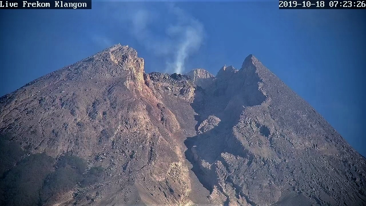
Photo : Live Frekom Klangon 18.10.2019 / 7h23 , Oystein Lund Andersen .
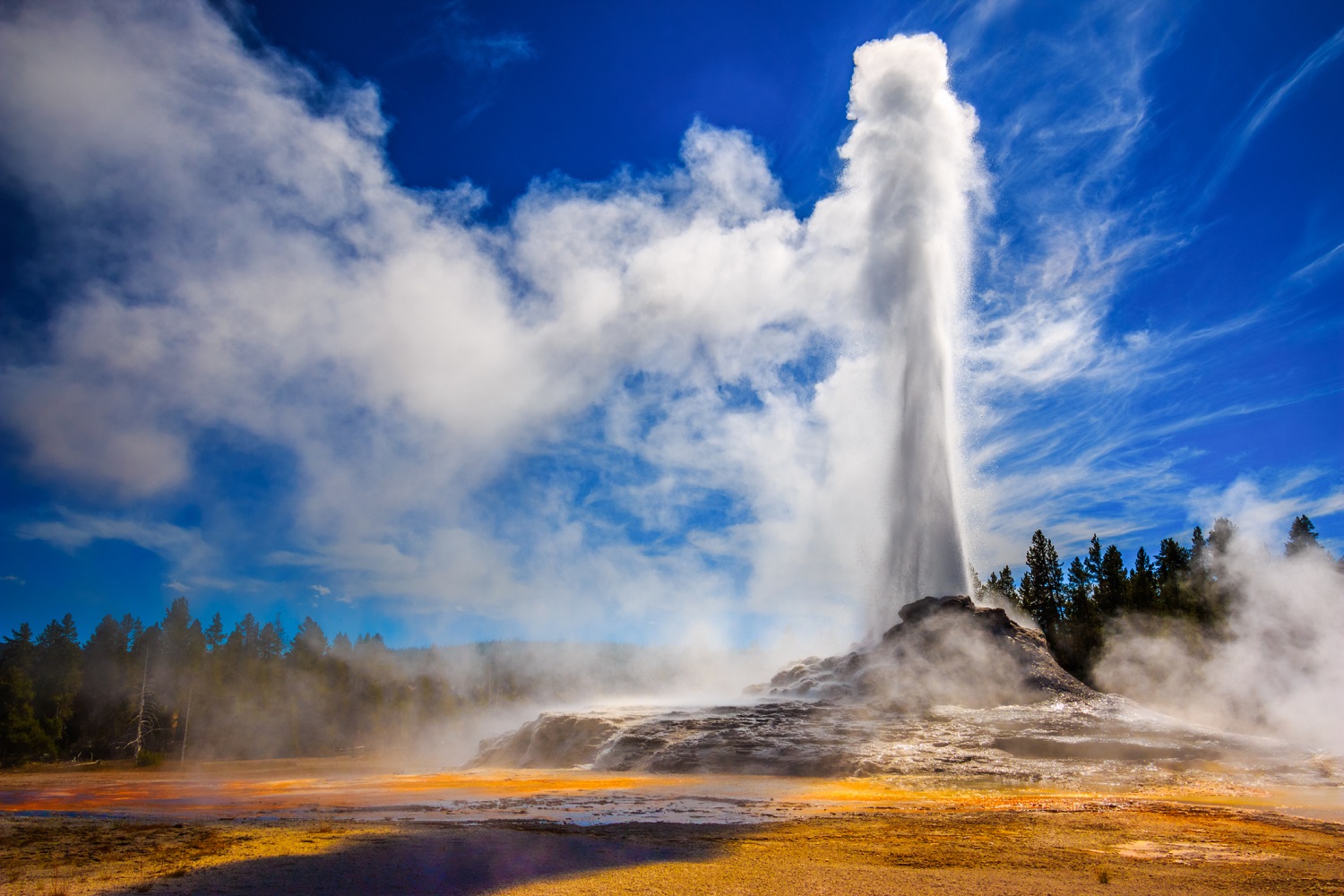
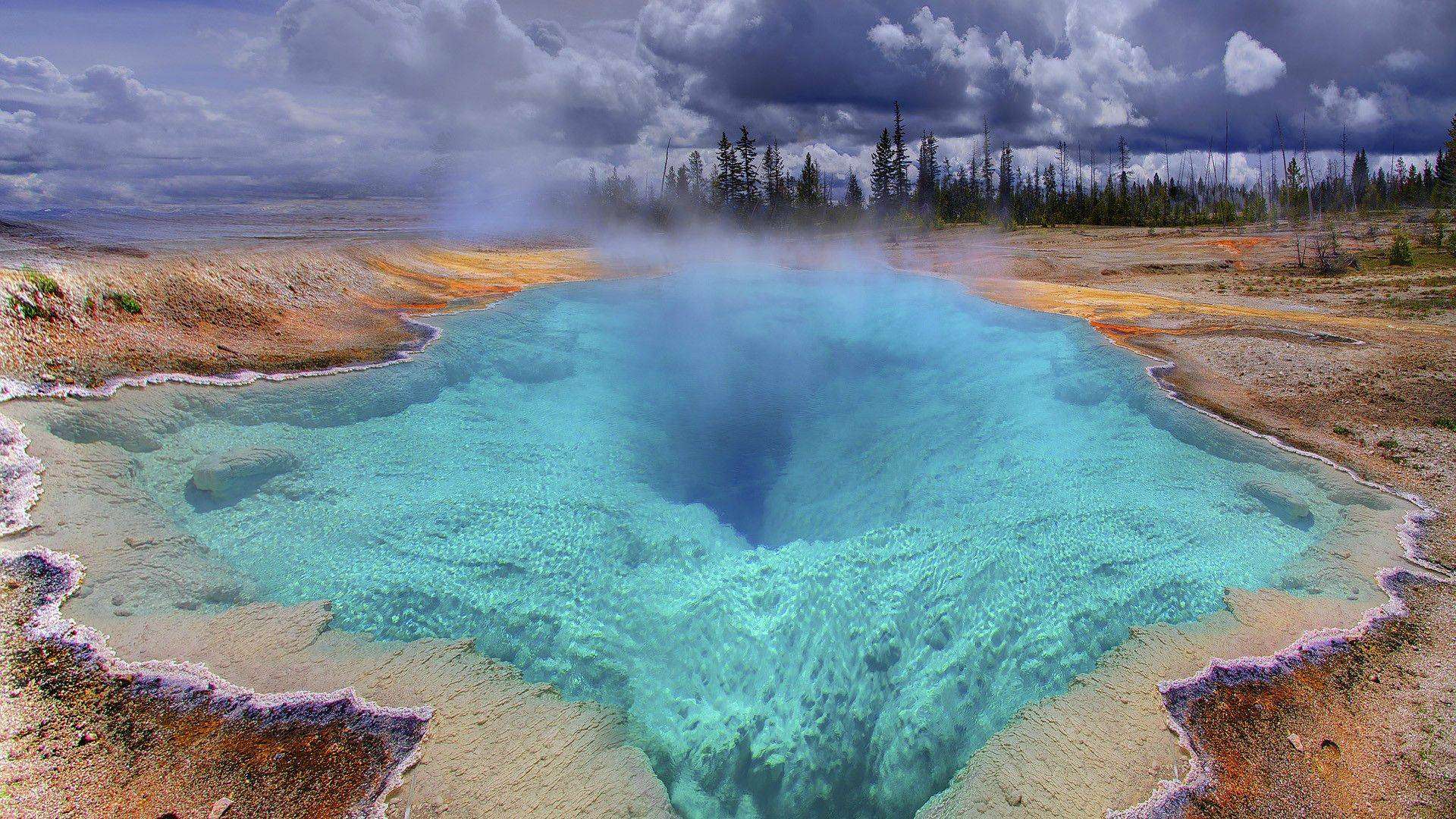
United – States , Yellowstone :
44°25’48 » N 110°40’12 » W,
Summit Elevation 9203 ft (2805 m)
Current Volcano Alert Level: NORMAL
Current Aviation Color Code: GREEN
Recent work and news
Steamboat geyser experienced 5 water eruptions during the month, on October 1, 7, 16, 22, and 30. This brings the total number of eruptions in 2019 to 42.
In October, scientists recovered 15 semi-permanent GPS stations from various locations in and around Yellowstone National Park. These stations are deployed each May in areas that are not well-covered by the continuous GPS network, but they do not have radio telemetry, so the data are only logged on site and not available in real time. Recovery of the stations before the onset of winter weather means that the data can be downloaded and analysed. All stations were operating normally and will be redeployed in May 2020.
Seismicity
During October 2019, the University of Utah Seismograph Stations, responsible for the operation and analysis of the Yellowstone Seismic Network, located 193 earthquakes in the Yellowstone National Park region. The largest event was a minor earthquake of magnitude 2.9 located 16 miles southeast of Mammoth, WY, on October 16 at 11:08 AM MDT.
October seismicity in Yellowstone included a swarm of 39 earthquakes in the area east of West Yellowstone, MT, that occurred October 4-12 (MDT). The largest swarm event, a minor earthquake of magnitude 2.1, was located 4.5 miles east-southeast of West Yellowstone, MT, on October 5, at 6:42 PM (MDT).
A second swarm of 87 earthquakes occurred October 26-31 (MDT). The largest swarm event, a minor earthquake of magnitude 2.6, occurred 15 miles south-southwest of Mammoth, WY, on October 26 at 9:57 AM (MDT).
Earthquake sequences like these are common and account for roughly 50% of the total seismicity in the Yellowstone region.
Yellowstone earthquake activity remains at background levels.
Ground deformation:
Ground deformation in the Yellowstone area has been variable but minor over the last few months. Subsidence of Yellowstone caldera is indicated at stations on both the Sour Creek and Mallard Lake resurgent domes, although that subsidence may have paused in October. In the area of Norris Geyser Basin, GPS data show subsidence of about 2 cm (less than 1 in) since September. This subsidence is the first significant deformation at Norris since October 2018, when uplift that began in 2015 ceased.
Source : YVO.
Photos : Parc National .
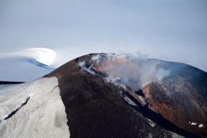
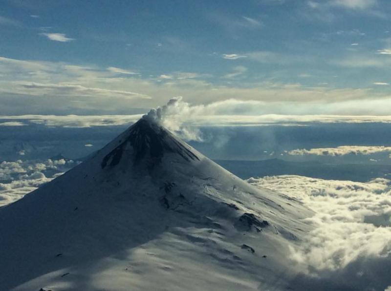
Alaska , Shishaldin :
54°45’19 » N 163°58’16 » W,
Summit Elevation 9373 ft (2857 m)
Current Volcano Alert Level: WATCH
Current Aviation Color Code: ORANGE
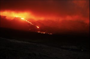
Low-level eruptive activity continues at Shishaldin Volcano. Two stalled lava flows extend beyond the summit crater up to 1.8 km (1.1 miles) down the northwest flank, and satellite data show trace ash deposits on the north flank and a lahar extending at least 4 km (2.5 miles) northwest from the summit by Monday, October 28. Activity paused on Tuesday, October 29, with little seismicity and no evidence of lava flowing beyond the crater rim .
This activity resumed yesterday, October 31. Numerous small explosions detected on the local network and incandescence visible in overnight webcam images indicate renewed summit activity. The most recent satellite data suggests that lava flows outside the summit crater are not active at this time. A transition this morning, however, from small explosions to continuous seismic tremor suggests a change in eruptive behavior, and additional lava flows and lahars remain possible.
Shishaldin is monitored by local seismic and infrasound sensors, satellite data, a web camera, a telemetered geodetic and tilt network, and distant infrasound and lightning networks
Shishaldin Volcano, located near the center of Unimak Island in the eastern Aleutian Islands, is a spectacular symmetric cone with a base diameter of approximately 16 km (10 mi). A 200-m-wide (660 ft) funnel-shaped summit crater typically emits a steam plume and occasional small amounts of ash. Shishaldin is one of the most active volcanoes in the Aleutian volcanic arc, with at least 54 episodes of unrest including over 24 confirmed eruptions since 1775. Most eruptions are relatively small, although the April-May 1999 event generated an ash column that reached 45,000 ft above sea level.
Source : AVO.
Photos :Wetzel, Tarek ( 2016) , Read, Cyrus ( 2014) .
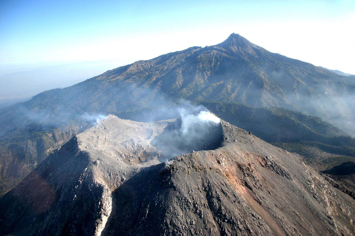
Mexico , Colima :
Weekly technical bulletin of the activity of the volcano Colima, Date: November 1st, 2019.
Seismic activity:
Last week, 11 high frequency (HF) events, 4 landslides and 6.1 min of low amplitude tremors were automatically recorded.
Visual observations:
Intermittent steam and gas emissions from the northeast side of the crater continue to be recorded during the reporting period, but fumaroles were also observed in the western portion. When the clouds allowed, the fixed thermal camera located south of the volcano, recorded thermal anomalies related to the fumaroles activity.
Geochemistry:
The flow of SO2 was not measured during the week.
Remote Perception
No thermal anomalies detected by the MIROVA satellite system were observed during the last week.
Diagnostic :
The volcano maintains an explosive activity of low intensity. The occurrence of these events indicates that the gas probably associated with the moving magma has reached surface levels. This activity can continue and increase in intensity over the following days, weeks or months. The staff in charge of monitoring the volcano monitors any changes and developments in the activity.
Source : RESCO-CUEV-Facultad de Ciencias Universidad de Colima .
Photo : proceso.com.mx