August 20 , 2018.
Hawaï , Kilauea :
Sunday, August 19, 2018, 12:39 PM HST (Sunday, August 19, 2018, 22:39 UTC)
19°25’16 » N 155°17’13 » W,
Summit Elevation 4091 ft (1247 m)
Current Volcano Alert Level: WATCH
Current Aviation Color Code: ORANGE
Kīlauea summit and lower East Rift Zone
The lull in activity at Kīlauea Volcano continues. At the summit, seismicity and deformation are negligible. On the lower East Rift Zone, the only incandescence is at the coast near Ahalanui where a few ocean entries are oozing lava. Sulfur dioxide emission rates at both the summit and LERZ are drastically reduced; the combined rate is lower than at any time since late 2007.
HVO Operations:
The Hawaiian Volcano Observatory (HVO) will continue to closely monitor Kīlauea’s seismicity, deformation, and gas emissions for any sign of reactivation, and maintain visual surveillance of the summit and LERZ.
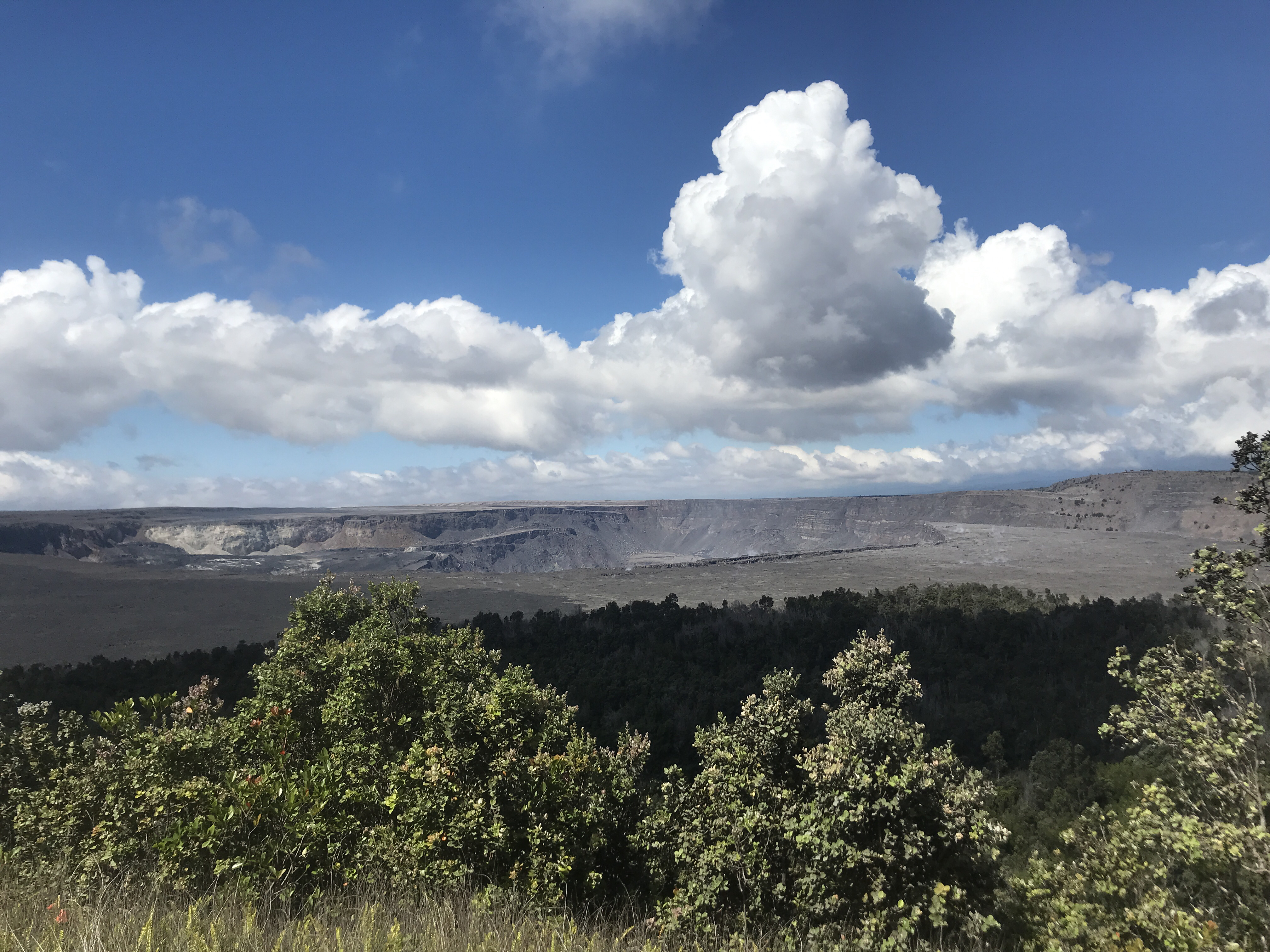
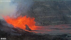
Kīlauea Volcano’s summit, seen here from the northeast rim of the caldera, has remained quiet, with no collapse events since August 2. It remains too soon to tell if this diminished activity represents a temporary lull or the end of summit collapses. HVO continues to record detailed visual observations and monitor seismic, deformation, and gas data for any indications of possible renewed activity.
The thunderstorms and heavy rains that drenched windward parts of the Big Island yesterday afternoon (Saturday, August 18) compromised several seismic stations and GPS receivers that are used to monitor earthquakes and ground deformation on Kīlauea and Mauna Loa volcanoes. HVO’s monitoring network has many built-in redundancies, so real-time data acquisition was not compromised.
HVO will continue to issue daily updates and additional messages as needed. The next status report will be issued tomorrow morning unless significant changes occur.
Source : HVO
Indonesia , Dukono :
VOLCANO OBSERVATORY NOTICE FOR AVIATION – VONA .
Issued: August 20 , 2018.
Volcano: Dukono (268010)
Current Aviation Colour Code: ORANGE
Previous Aviation Colour Code: orange
Source: Dukono Volcano Observatory
Notice Number: 2018DUK158
Volcano Location: N 01 deg 41 min 35 sec E 127 deg 53 min 38 sec
Area: North Maluku, Indonesia
Summit Elevation: 3933 FT (1229 M)
Volcanic Activity Summary:
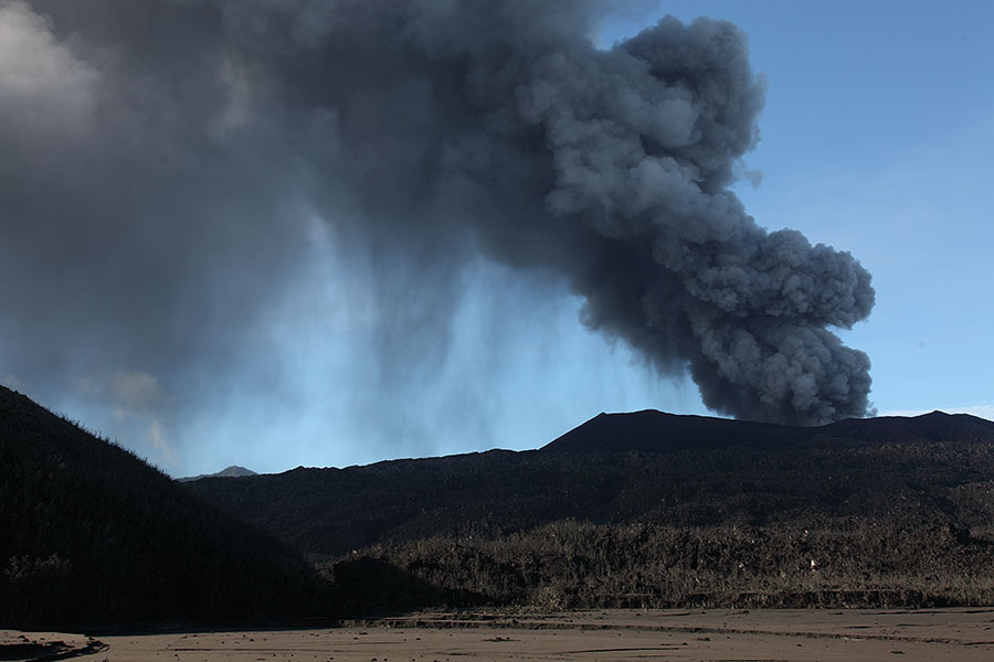
Eruption with volcanic ash cloud at 00h10 UTC (09h10 local).
Volcanic Cloud Height:
Best estimate of ash-cloud top is around 5853 FT (1829 M) above sea level, may be higher than what can be observed clearly. Source of height data: ground observer.
Other Volcanic Cloud Information:
Ash cloud moving to east – northeast.
Remarks:
Eruption and ash emission is continuing.
Level of Activity at Level II (WASPADA). The Dukono (1229 m) continues to erupt.
Since yesterday and until this morning, visually, the top of the volcano could be observed clearly until it was covered with fog. The main crater smoke was white / gray, medium pressure, with a thick intensity up to 500 meters above the peak. There was a rash with gray-white smoke 500 meters high. The wind is blowing weakly to the northeast.
According to the seismographs, on August 19, 2018, it was recorded:
3 eruption earthquakes
1 shallow volcanic earthquake
2 distant tectonic earthquakes
Continuous tremor with maximum amplitude 0.5-8 mm (dominant value: 2 mm)
Recommendations:
Communities around Mount Dukono and visitors / tourists should not move, climb or approach the Malupang Warirang crater within 2 km.
Source : Magma Indonésie , PVMBG.
Photo : Photovolcanica.
Indonesia , Lombok :
Hereby, we submit a report on the earthquake in the North-East of Lombok, based on information obtained from BMKG Jakarta and an analysis of the Geological and Volcanological Disaster Mitigation Center as follows:
1. Information on earthquakes
On this day, Sunday, August 19, 2018, there were six earthquakes:
The first earthquake occurred at 11:06:13 WIB, the epicenter at coordinates of 8.29 ° LS and 116.62 ° East with a magnitude of 5.4 SR at a depth of 10 km, a distance of 25 km northeast of East Lombok.
The second earthquake occurred 4 minutes later at 11:10:22 WIB with the epicenter at coordinates of 8.24 ° LS and 116.66 ° East, with a magnitude greater than 6.5 SR at 10 km depth, at 32 km northeast of Lombok Est.
The third earthquake occurred at 21:56:27 WIB with a central location at 8.28 ° LS and 116.71 ° East (30 km northeast of East Lombok), to a depth of 10 km, with a magnitude of 7.0 SR .;
The fourth earthquake occurred at 10:16, 8, 35 degrees LS and 116.51 degrees E (18 km northwest of Lombok East), at a depth of 10 km, with a magnitude of 5 , 6 S.
The fifth earthquake occurred at 22:28, at 8.30 ° L and 116.56 ° East (23 km northwest of Lombok East), at a depth of 10 km and a magnitude of 5.8 S.R .;
The sixth earthquake occurred at 23.25 at 8.50 ° LS and 11.85 ° BT at a depth of 10 km and a magnitude of 5.0 S.
2. Geological conditions of areas affected by earthquakes:
The epicenter of the earthquake is on the ground. Most of these areas are composed of sedimentary rocks and older pre-tertiary to tertiary metamorphic rocks. In regions composed of rocks that have been erected and altered and where the alluvial zone is highly sensitive to seismic shocks as it is dissipated, loose and has not been consolidated, it will enhance the effects of seismic vibration.
3. Causes of earthquakes
Based on the position and the depth of the source of the earthquake, it is associated with the rear arc enlargement zone (Flores back-arc Thrust) which has a relative West-East direction.
4. Impact of earthquakes:
BMKG data record the impact of earthquakes at several locations, as described in earthquake intensity at MMI (Modified Mercalli Intensity) scale, namely IV MMI north of Lombok; IV MMI at Mataram; III MMI west of Lombok, Lombok Tengan, East Lombok and Sumbawa Besar. On the basis of the data recorded at the PVMBG volcano observation post (PGA), the earthquake was felt with an MMI IV intensity at G. Rinjani’s PGA; III MMI at the PGA of G. Tambora; II MMI at the PGA of G. Agung and the PGA of G. Sangeang Api. USGS data show an intensity map that covers a radius in the west to the eastern part of Java Island, and east to East Nusa Tenggara. In this report, the earthquake caused the collapse of buildings and fires in the area of Bugin Island, Alas District, Sumbawa Besar, due to a short electrical circuit. This earthquake has no tsunami potential.
5. Recommendations:
The community is encouraged to remain calm and follow instructions and information from the local government and BPBD.
Replicas should be smaller than major earthquakes, but people should remain vigilant.
The community should stay away and avoid buildings because of previous earthquakes, so buildings may collapse.
Beware of cracks on the surface of the earth and landslides.
Source : PVMBG
Photo : Keystone / Le Matin.ch.
Philippines , Kanlaon :
KANLAON VOLCANO BULLETIN 20 August 2018 08:00 A.M.
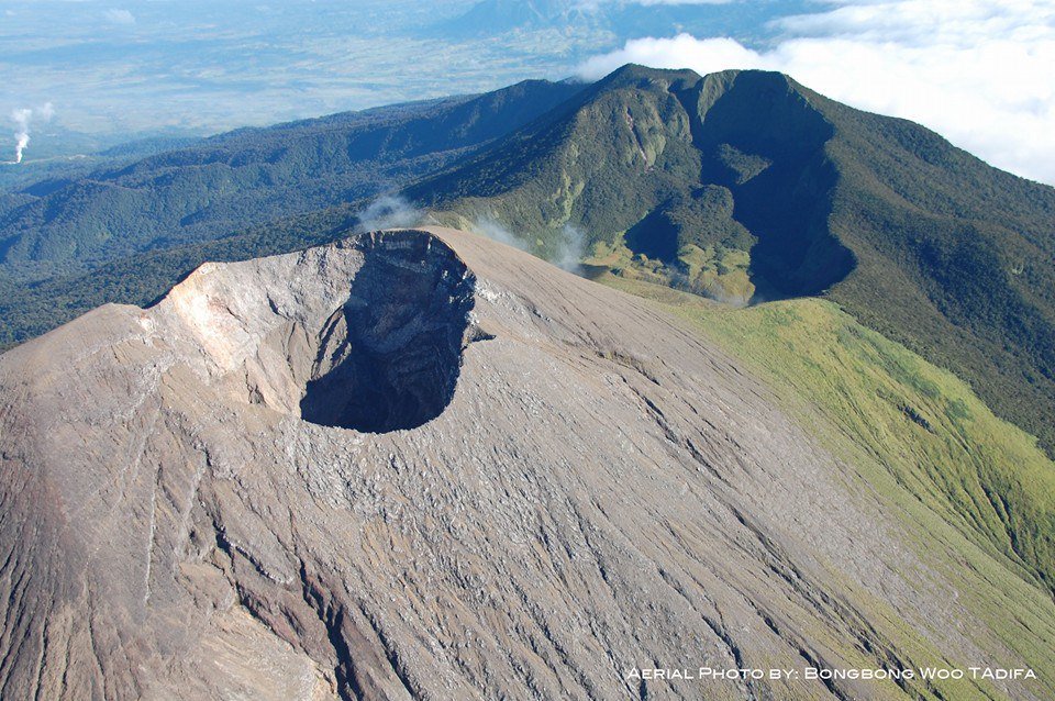
Kanlaon Volcano’s seismic monitoring network recorded three (3) volcanic earthquakes during the past 24 hours. Ground deformation data from continuous GPS measurements indicate a more pronounced inflation of the edifice since December 2017, signifying pressurization beneath the edifice. Sulfur dioxide (SO2) emission was measured at an average of 2,131 tonnes/day on 04 July 2018.
Alert Level 2 status prevails over Kanlaon Volcano, which means that the volcano is undergoing a moderate level of unrest due to probable intrusion of magma at depth that may or may not lead to a magmatic eruption. The local government units and the public are strictly reminded that entry into the 4-kilometer radius Permanent Danger Zone (PDZ) is strictly prohibited due to the further possibilities of sudden and hazardous steam-driven or phreatic eruptions. Civil aviation authorities must also advise pilots to avoid flying close to the volcano’s summit as ejecta from any sudden phreatic eruption can be hazardous to aircraft.
DOST-PHIVOLCS is closely monitoring Kanlaon Volcano’s activity and any new development will be relayed to all concerned.
Source : Phivolcs
Photo : BongBong Woo Tadifa

