February 09 , 2023.
Japan , Sakurajima :
JMA reported ongoing eruptive activity at Minamidake Crater (at Aira Caldera’s Sakurajima volcano) during 30 January-6 February and crater incandescence was visible nightly. Sulfur dioxide emissions were high at 2,000 tons per day on 30 January. An explosion at 1951 on 3 February produced an ash plume that rose 1.2 km above the crater rim and ejected large blocks as far as 500 m from the crater. The Alert Level remained at 3 (on a 5-level scale), and residents were warned to stay 2 km away from the crater.
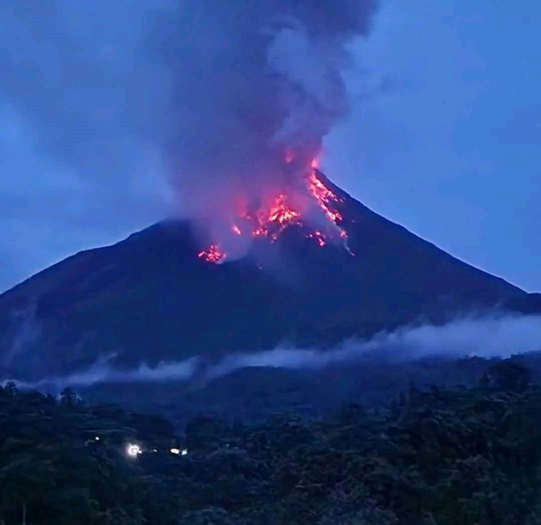
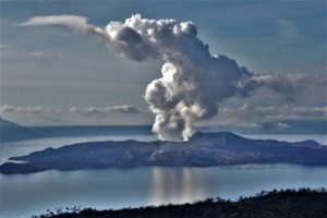
Photo taken on Feb. 8, 2023, from an unmanned fixed-point camera in Tarumizu, Kagoshima Prefecture, shows an eruption on Sakurajima volcano . It was the first explosive eruption since April 2018 at the volcano’s Showa crater.
The volcano featured an explosion from Showa crater on Wednesday, with the local meteorological observatory warning those within a 2 kilometer radius of pyroclastic flows and rockfall
The eruption at the Showa crater, the first since April 2018, was observed at 10:52 a.m., with plumes rising to 1,000 meters noted at 11:10 a.m., according to the Kagoshima Meteorological Office.
The meteorological office said it had detected a slight swelling of the mountain from around Jan. 14.
The Showa crater is located on the east side of Minamidake and was especially active between 2006 and 2018.
Sources : GVP , Kyodo.
Photo : Kyodo.
Indonesia , Karangetang :
Increased G. Karangetang activity level from level II (ALERT) to level III (ALERT).
The results of the assessment of visual and volcanic activity showed an increase in activity and were assessed at level G. Karangetang was raised from level II (ALERT) to level III (SIAGA), starting on 8 February 2023 at 4:00 p.m. WIB.
• At Activity Level III (SIAGA), people/visitors/tourists/hikers are not permitted to do any activities and approach areas within 2.5km of the main crater as well as 3, 5 km on the South and South-East sectors.
• Intensive monitoring continues to be carried out to assess the activities of G. Karangetang by the Center for Vulcanology and Geological Disaster Mitigation.
• During the rainy season, people who live along the streams that descend from the top of G. Karangetang in order to be aware of secondary danger like lahars.
• The district government always coordinates with the G. Karangetang observation post in Salili village, Siau Tengah district, Sitaro regency or with the Center for Vulcanology and Geological Disaster Mitigation. The public, BNPB, BPBD North Sulawesi Province, BPBD Kabupaten Sitaro and other related bodies should monitor the changing activity levels and recommendations on G. Karangetang.
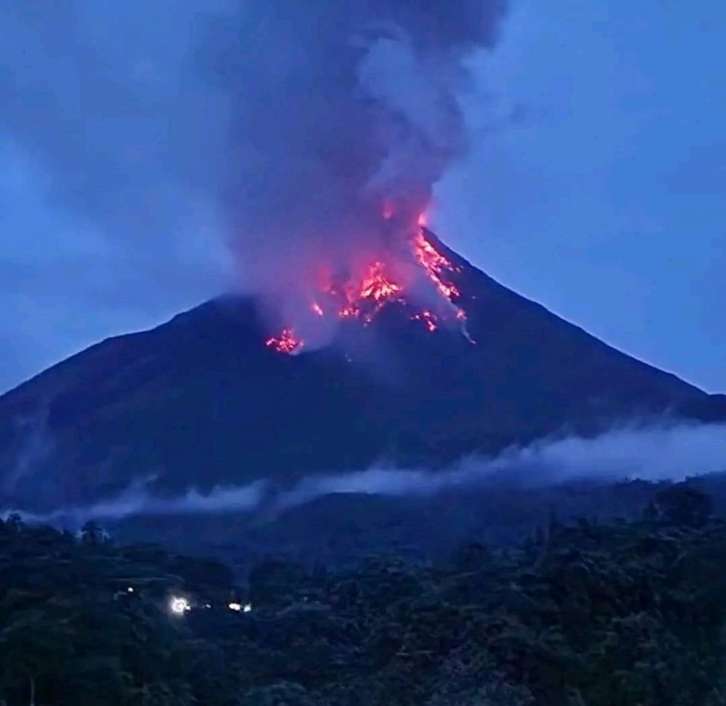
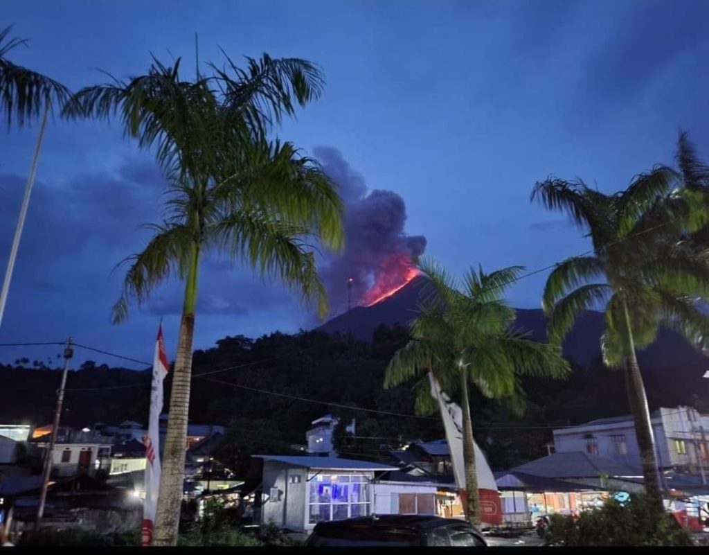
PVMBG reported a recent increase in activity at Karangetang. During 1-31 January white-and-gray plumes were occasionally seen rising as high as 150 m from Main Crater (the south crater) and incandescence emanated from the lava dome in Crater II (also called North Crater); weather conditions often prevented visual observations. The number of seismic signals indicating avalanches of material began increasing on 18 January, and then increased again in early February. The number of avalanches from Main Crater increased on 4 February, with material traveling as far as 800 m down the Batuawang (S) and Batang (W) drainages and as far as 1 km W down the Beha (W) drainage. During 1-7 February white plumes rose 50-100 m above both craters.
An eruption began during the evening on 8 February at around 1700. PVMBG raised the Alert Level to 3 (on a scale of 1-4) and advised the public to generally stay 2.5 km away from Main Crater with an extension to 3.5 km on the S and SE flanks. Photos showed incandescent material at Main Crater and possible lava fountaining. Incandescent material had also descended the flank in at least two directions, and ash plumes rose along their paths. Eruption plumes rose from the summit.
Sources : PVMBG.
Photos : Yola via Sherine France , Q-fly Rami .
Indonesia , Bromo :
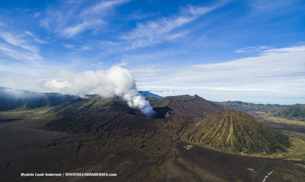
PVMBG reported that activity at Tengger Caldera’s Bromo cone increased at 2114 on 3 February and was characterized by crater incandescence, rumbling sounds, and a strong sulfur dioxide odor. The report noted that sometimes-dense white plumes rose as high as 900 m above the summit during the previous week and through 7 February, and that vegetation on the E caldera wall was yellow and withered. The seismic network recorded continuous tremor and deep and shallow volcanic earthquakes. The Alert Level remained at 2 (on a scale of 1-4), and visitors were warned to stay outside of a 1-km radius of the crater.
The 16-km-wide Tengger caldera is located at the northern end of a volcanic massif extending from Semeru volcano. The massive volcanic complex dates back to about 820,000 years ago and consists of five overlapping stratovolcanoes, each truncated by a caldera. Lava domes, pyroclastic cones, and a maar occupy the flanks of the massif. The Ngadisari caldera at the NE end of the complex formed about 150,000 years ago and is now drained through the Sapikerep valley. The most recent of the calderas is the 9 x 10 km wide Sandsea caldera at the SW end of the complex, which formed incrementally during the late Pleistocene and early Holocene. An overlapping cluster of post-caldera cones was constructed on the floor of the Sandsea caldera within the past several thousand years. The youngest of these is Bromo, one of Java’s most active and most frequently visited volcanoes.
Sources : PVMBG , GVP.
Photo : Oystein Lund Andersen.
Vanuatu , Epi :
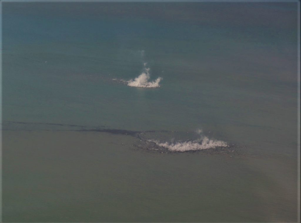
According to the Vanuatu Meteorology and Geo-Hazards Department (VMGD) an overflight of Epi was conducted during the afternoon of 31 January. Steam was observed rising from the ocean’s surface above Epi B, water around the eruption site was discolored, and rafts of pumice were floating on the surface following the currents. Several strands of pumice rafts to the SW, NW, and N of Epi B were visible in 2 February Sentinel B satellite images. During 07h00-10h30 on 7 February residents observed minor, low-level steaming above Epi B. The intensity of steam emissions varied, increasing and decreasing as new lava was erupted from Epi B. Steaming was again reported by residents starting around 06h00 on 8 February. The seismic network recorded elevated seismicity during the previous few days.
A large caldera, with submarine post-caldera cones active in historical time, lies off the eastern coast of Epi Island. Epi Island itself, located slightly west of the main New Hebrides volcanic arc, largely consists of two Quaternary volcanoes, Mount Allombei on the west and Pomare (Tavani Kutali) on the east. Tavani Ruro, which forms an elongated eastern extension of Epi Island across a narrow isthmus, is related to Kuwae caldera to the east. Pomare volcano is the highest point on the island and has three well-preserved subsidiary cones to the east with youthful summit craters. Pomare volcano is truncated on its eastern side by the largely submarine East Epi caldera, which has been the source of all historical eruptions. Three small submarine basaltic and dacitic cones, known as Epi A, Epi B, and Epi C, are located along the northern rim of the breached caldera. Ephemeral islands were formed during eruptions in 1920 and 1953, and the summit of the shallowest cone, Epi B, was at 34 m below sea level at the time of a 2001 survey.
Source : GVP
Photo : VMGD
Chile , Laguna del Maule :
Seismology
The seismological activity of the period was characterized by the recording of:
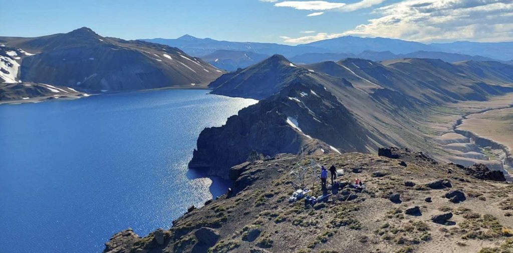
681 VT-type seismic events, associated with rock fracturing (Volcano-Tectonics). The most energetic earthquake presented a value of Local Magnitude (ML) equal to 2.8, located 15.5 km west-south-west of the center of the lagoon, with a depth of 21.4 km in reference to the average height of the lagoon.
15 LP-type seismic events, associated with fluid dynamics within the volcanic system (Long Period). The most energetic earthquake presented a reduced displacement value (DR) of 24 cm2 and a local magnitude value (ML) equal to 0.8, located 14.5 km south-southeast of the center of the lagoon, with a depth of 2.0 km in reference to the average height of the lagoon.
34 TR-type seismic events, associated with the dynamics maintained over time of the fluids within the volcanic system (TRemor). The size of the largest earthquake assessed from the Reduced Displacement (DR) parameter was equal to 64 cm2.
18 HB-type seismic events, associated with both rock fracturing and fluid dynamics within the (hybrid) volcanic system. The most energetic earthquake presented a reduced displacement value (DR) of 512 cm2 and a local magnitude value (ML) equal to 3.1, located 13.4 km south-southeast of the center of the lagoon, in the Barrancas sector, with a depth of 6.5 km in reference to the average height of the lagoon.
Fluid Geochemistry
No anomaly of sulfur dioxide (SO2) emissions in the atmosphere has been reported in the area close to the volcanic complex, according to data published by the Tropospheric Monitoring Instrument (TROPOMI) and the Ozone Monitoring Instrument (OMI) .
Satellite thermal anomalies
During the period, no thermal alert was recorded in the area associated with the volcanic complex, according to the analytical processing of Sentinel 2-L2A satellite images, in combination with false color bands.
Geodesy
The inflationary process observed since 2012 is continuing, but with a decrease compared to the previous month. The maximum uplift rate continues to be recorded at the MAU2 station, in the center of the instrumental network and in the southwest of the lagoon, reaching a maximum magnitude of 1.00 cm/month, lower than the average observed in recent years.
Activity remained at levels considered low, suggesting stability of the volcanic system.
The volcanic technical alert is maintained at:
GREEN TECHNICAL ALERT: Active volcano with stable behavior – There is no immediate risk
Source : Sernageomin.
Photo : neuqueninforma.gob.ar

