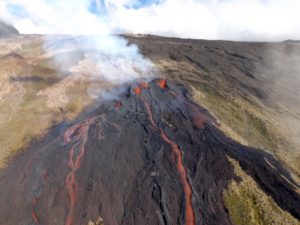
July 16 , 2022.
Indonesia , Merapi :
Merapi activity report from July 8 to 14, 2022:
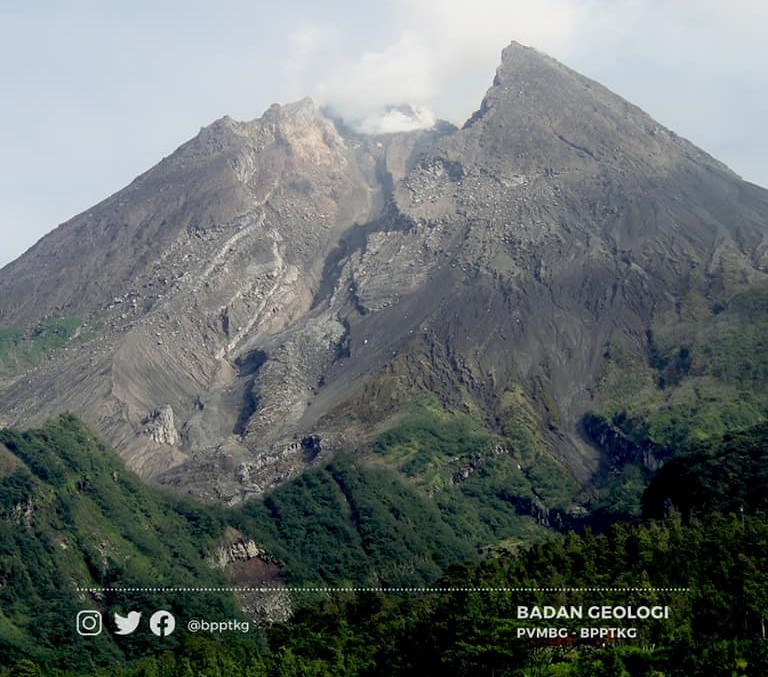
This week, 43 lava avalanches were observed in a dominant South-West direction towards the Bebeng River with a maximum slip distance of 2,000 m. For the Southwest dome, there is no change in the height of the dome. For the central dome, no significant morphological change was observed. According to photo analysis, the volume of the Southwest lava dome is 1,645,000 m3 and that of the central dome is 2,582,000 m3.
Seismicity:
This week, the seismicity of Mount Merapi recorded:
11 shallow volcanic earthquake (VTB),
150 multi-phase earthquakes (MP),
557 avalanche earthquakes (RF),
9 emission earthquakes (DG),
19 tectonic earthquakes (TT).
The intensity of seismicity this week is still quite high.
Mount Merapi’s deformation, which was monitored using EDM this week, showed a distance shortening rate of 0.2 cm/day. Rainfall intensity was 36 mm/hour for 10 minutes at Kaliurang Post on July 13, 2022. There were no reports of lahars or additional flow in the rivers that originate at Mount Merapi.
Conclusion:
1. Merapi volcanic activity is still quite high in the form of effusive eruption activity. The state of the activity is defined at the « SIAGA » level.
2. The current potential danger is lava avalanches and hot clouds in the South-South-West sector covering the Boyong River for a maximum of 5 km, the Bedog River, Krasak, Bebeng for a maximum of 7 km. The Southeast sector covers the Woro River for a maximum of 3 km and the Gendol River for a maximum of 5 km. Meanwhile, the ejection of volcanic material in the event of an explosive eruption can reach a radius of 3 km around the summit.
The public should not carry out any activity in potentially dangerous areas, anticipate disturbances due to volcanic ash from the Merapi eruption and be aware of the dangers of lahars, especially when it rains around Merapi.
Source et photo : BPPTKG.
Alaska , Little Sitkin / Semisopochnoi :
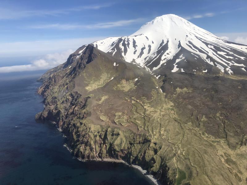
Upgrades to a satellite telemetry link have improved transmission of local monitoring data from the Little Sitkin and Semisopochnoi volcano networks. After an extended evaluation period following the 2021 field season, the Alaska Volcano Observatory (AVO) now considers the telemetry link sufficiently reliable to confidently monitor seismic unrest at these volcanoes. With the establishment of robust data transmission, Little Sitkin volcano is being moved from UNASSIGNED to a Volcano Alert Level of NORMAL and an Aviation Color Code of GREEN. Semisopochnoi volcano remains in an elevated state of unrest with a Volcano Alert Level of ADVISORY and Aviation Color Code YELLOW.
LITTLE SITKIN (VNUM #311050)
51, 57’11 » N 178, 32’8″ E,
Summit Elevation 3898 ft (1188 m)
Current Volcano Alert Level: UNASSIGNED
Current Aviation Color Code: UNASSIGNED
Little Sitkin, north side of island
The Avation Color Code and Alert Level changed from UNASSIGNED to GREEN/NORMAL due to an upgraded communication link to instrumental monitoring data.
Little Sitkin is monitored by local seismic and infrasound sensors, satellite data, web cameras, and remote infrasound and lightning networks.
SEMISOPOCHNOI (VNUM #311060)
51, 55’44 » N 179 ,35’52 » E,
Summit Elevation 2625 ft (800 m)
Current Volcano Alert Level: ADVISORY
Current Aviation Color Code: YELLOW
Semisopochnoi, North Cerberus (screen cap from video).
Semisopochnoi remains in a state of unrest with an Aviation Color Code and Alert Level YELLOW/ADVISORY. Upgrades in the communication link to instrumental monitoring data have established more reliable data transmission for improved local monitoring. These changes will enable AVO to designate Semisopochnoi with an Aviation Color Code and Alert Level GREEN/NORMAL rather than UNASSIGNED during future periods of quiescence.
Semisopochnoi is monitored by local seismic and infrasound sensors, satellite data, web cameras, and remote infrasound and lightning networks.
Source : AVO
Photos : Boyce, Ellie / Alaska Volcano Observatory / University of Alaska Fairbanks, Geophysical Institute ,
Kamchatka , Karymsky :
VOLCANO OBSERVATORY NOTICE FOR AVIATION (VONA)
Issued: July 15 , 2022.
Volcano: Karymsky (CAVW #300130)
Current aviation colour code: ORANGE
Previous aviation colour code: orange
Source: KVERT
Notice Number: 2022-73
Volcano Location: N 54 deg 2 min E 159 deg 26 min
Area: Kamchatka, Russia
Summit Elevation: 1486 m (4874.08 ft)
Volcanic Activity Summary:
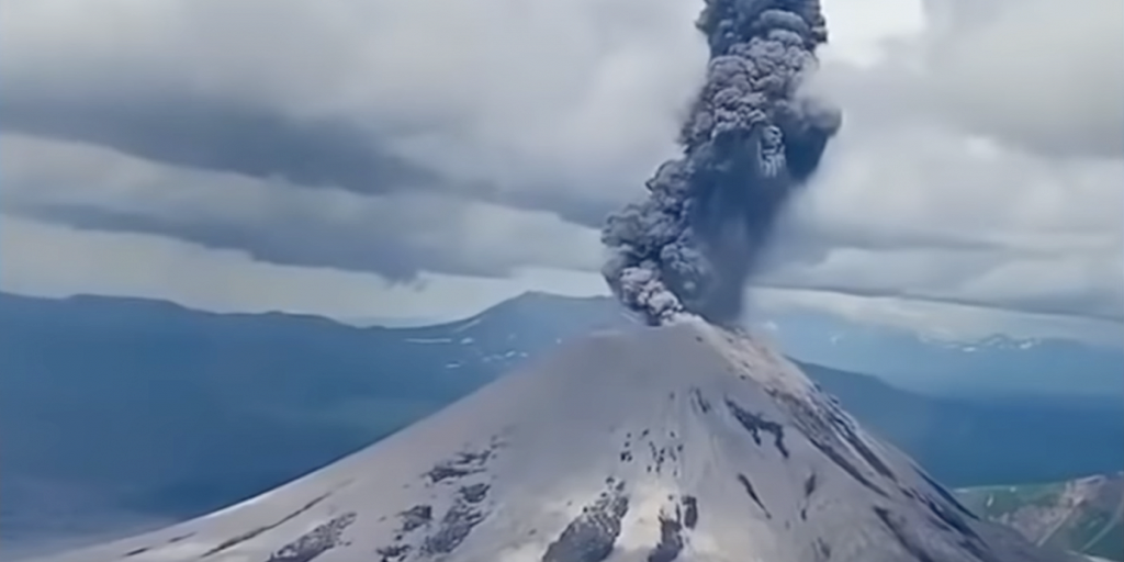
A moderate explosive activity of the volcano continues. Satellite data showed an ash cloud is drifting about 45 km to the south-east of the volcano.
A moderate activity of the volcano continues. Ash explosions up to 12 km (39,400 ft) a.s.l. could occur at any time. Ongoing activity could affect international and low-flying aircraft.
Volcanic cloud height:
5000-6000 m (16400-19680 ft) AMSL Time and method of ash plume/cloud height determination: 20220715/0127Z – NOAA 18 (4m5)
Other volcanic cloud information:
Distance of ash plume/cloud of the volcano: 45 km (28 mi)
Direction of drift of ash plume/cloud of the volcano: SE / azimuth 126 deg
Time and method of ash plume/cloud determination: 20220715/0127Z – NOAA 18 (4m5)
Start time of explosion and how determined: 20220715/0028Z – Satellite data
Source : Kvert.
Photo : Daily Afisha. Ru
Ecuador , Reventador :
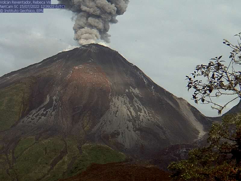
DAILY REPORT OF THE STATE OF THE REVENTADOR VOLCANO, Friday July 15, 2022.
Information Geophysical Institute – EPN.
Surface Activity Level: Moderate, Surface Trend: No change.
Internal activity level: Moderate, Internal trend: Ascending.
Seismicity: From July 14, 2022, 11:00 a.m. to July 15, 2022, 11:00 a.m.:
Explosions (EXP) 70
Long Periods (LP) 45
Emission Tremors (TREMI ) 9
Harmonic Tremors (TRARM): 3.
Rains / Lahars:
No rain was recorded.
Emission / ash column:
At the end of the afternoon yesterday the volcano was clear, ash emissions were observed 800 meters above the level of the crater in a southwest direction. Today morning the weather was clear and several emissions of vapors, gases and ashes higher than 1000 meters above the summit towards the South-West could be observed. The Washington VAAC published 4 reports of ash emission at a height of 988 meters in a south and southwest direction.
Other Monitoring Parameters:
In the past 24 hours, there have been no thermal alerts for the Reventador.
Observation:
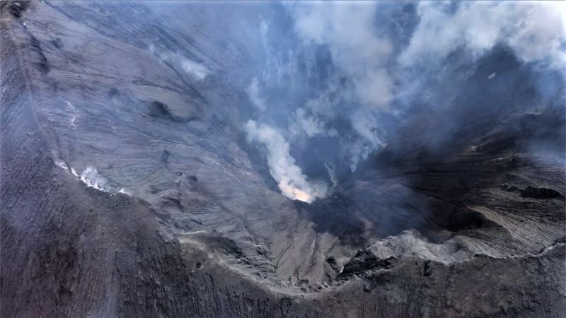
At night and early in the morning, an incandescence could be observed in the crater, with the rolling of blocks up to 500 meters below the level of the crater on the East-South-East flank. For the moment the volcano is cloudy.
Alert level: Orange.
Source : IGEPN
Photos : Robinski via Marina Morozova , IGEPN.
La Martinique , Mount Pelée :
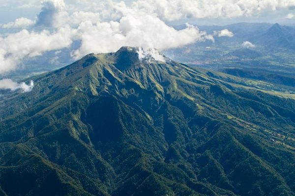
Weekly report on the activity of Mount Pelée for the period from July 8, 2022 to July 15, 2022.
Between July 8, 2022 at 4 p.m. (UTC) and July 15, 2022 at 4 p.m. (UTC), the OVSM recorded at least one volcano-tectonic earthquake of magnitude less than 0.1. This low energy earthquake was located inside the volcanic edifice between 0.5 and 0.8 km deep below the surface. This superficial volcano-tectonic seismicity is associated with the formation of micro-fractures in the volcanic edifice. This earthquake was not felt by the population.
During volcanic reactivation phases, periods of higher seismic activity often alternate with phases of lower seismicity. Since the reactivation of the hydrothermal-magmatic system (end of 2018), the OVSM has not recorded any earthquakes of volcanic origin during the month of May 2019 and less than 3 earthquakes in October 2019 and August 2020. This variability in the number of earthquakes has already, for example been observed following the reactivation of Soufrière de Montserrat.
An extension of two areas of degraded vegetation located between Morne Plumé and the Chaude River was observed during a helicopter flight carried out on February 9 and May 5, with the support of Dragon 972, and confirmed by analysis of satellite images. and drone (overflight of May 11).
The alert level remains YELLOW: vigilance.
Source : OVSM-IPGP.
Photo : Parc naturel Martinique

