August 30 , 2021.
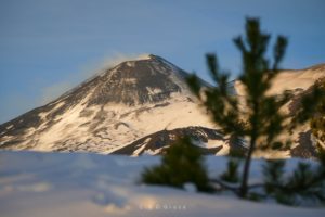
Italy / Sicily , Etna :
PRESS RELEASE ON ETNA’S ACTIVITY, August 29, 2021, 4:29 PM (14:29 UTC).
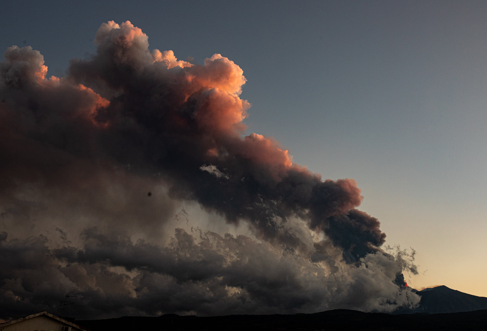
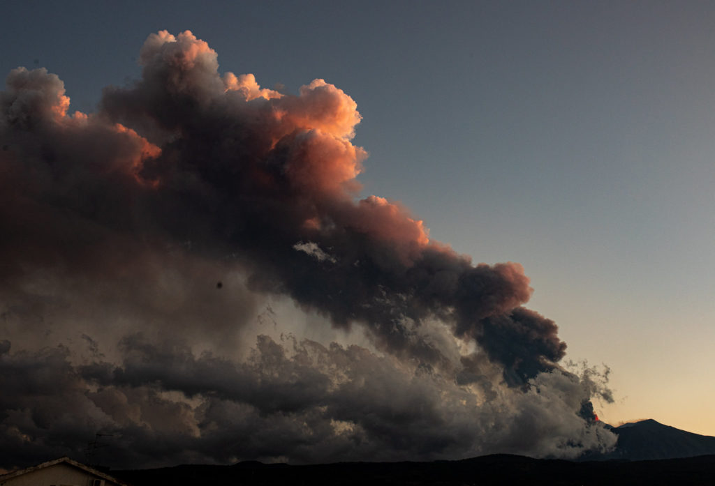
The National Institute of Geophysics and Volcanology, Osservatorio Etneo announces that Strombolian activity at the level of the Southeast Crater has resumed at 3:25 p.m. local time. From 12:00 UTC there is a significant increase in the amplitude of the tremor, which reaches high values. This phenomenon is also followed by an increase in infrasonic activity, with approximately 1 event per minute. The sources of the tremor are located to the South-East of the South-East Crater, at a level of about 3000 altitude In recent hours, there have been no significant variations in the deformations of the networks of GPS sensors and tilt.
PRESS RELEASE ON ETNA’S ACTIVITY, August 29, 2021, 17:58 (15:58 UTC).
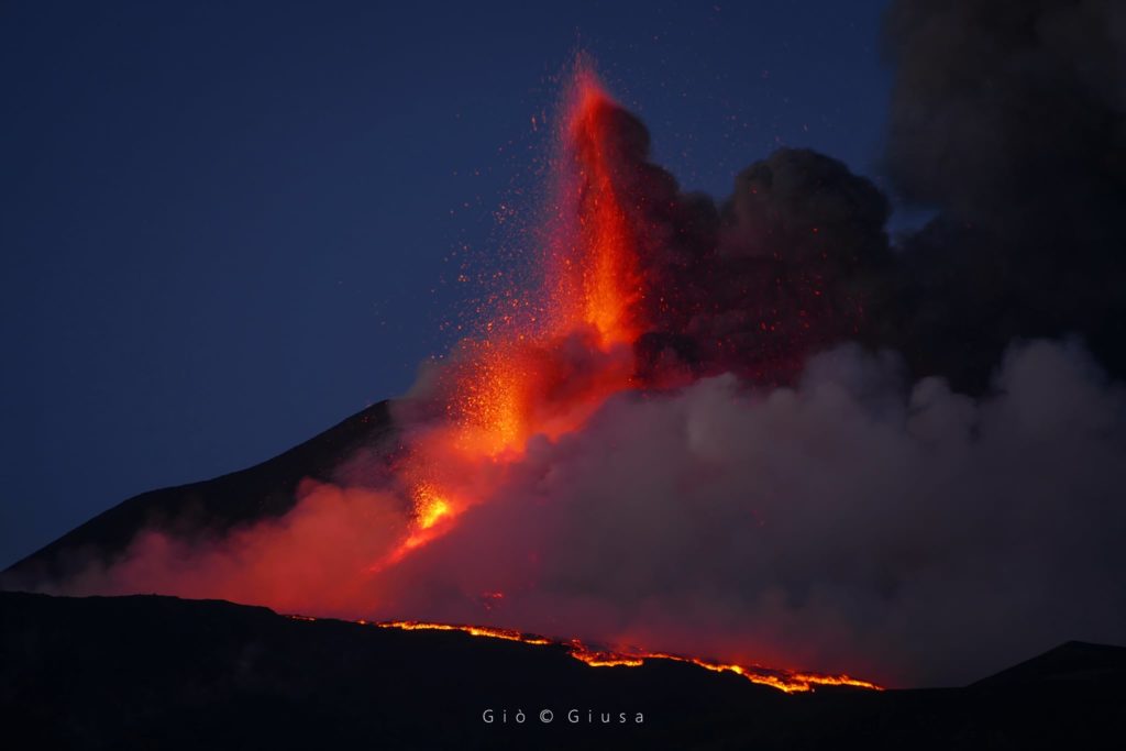
The National Institute of Geophysics and Volcanology, Osservatorio Etneo, announces that at 3:45 p.m. GMT there is an increase in Strombolian activity with passage to the lava fountain stage. There is a further increase in the amplitude of the tremor, which reaches high values. Infrasound activity also increased, both in terms of frequency and amplitude of signals. The sources of the tremor are located to the South-East of the South-East Crater, at a level of about 3000 altitude. The last locations of the infrasound events are located to the South of the South-East Crater. From a deformation point of view, only slight variations of a few tenths of microradians are evident at upper inclinometric stations.
PRESS RELEASE ON ETNA’S ACTIVITY, August 29, 2021, 20:27 (18:27 UTC).
The National Institute of Geophysics and Volcanology, Osservatorio Etneo, announces that the explosive activity continues at the level of the Southeast summit craters. This activity produced two lava flows, one towards the Valle del Bove and the other towards the South-West, the latter encircling the Monte Frumento Supino. The flow fronts are still active. In addition, it should be added that the fallout of ash and lapilli affected the municipalities of: Milo, Sant’Alfio, Giarre, Fornazzo.
PRESS RELEASE ON ETNA’S ACTIVITY, August 29, 2021, 22:37 (20:37 UTC).
The National Institute of Geophysics and Volcanology, Osservatorio Etneo, announces that the explosive activity at the Southeast Crater has ceased. The lava flows are cooling.
The amplitude of the tremor is currently at medium-high levels. The signal sources are located southeast of the Southeast Crater. Infrasound activity has practically ceased.
The soil deformations recorded on the inclinometric network that were highlighted, during the lava fountain, showed variations of up to about 2 microradians at the Cratere del Piano station (ECP)
Source : INGV.
Video : Guide Alpine Vulcanologiche Etna
Photo : Guide Alpine Vulcanologiche Etna , Gio Giusa .
Hawaii , Kilauea :
19°25’16 » N 155°17’13 » W,
Summit Elevation 4091 ft (1247 m)
Current Volcano Alert Level: ADVISORY
Current Aviation Color Code: YELLOW
Activity Summary:
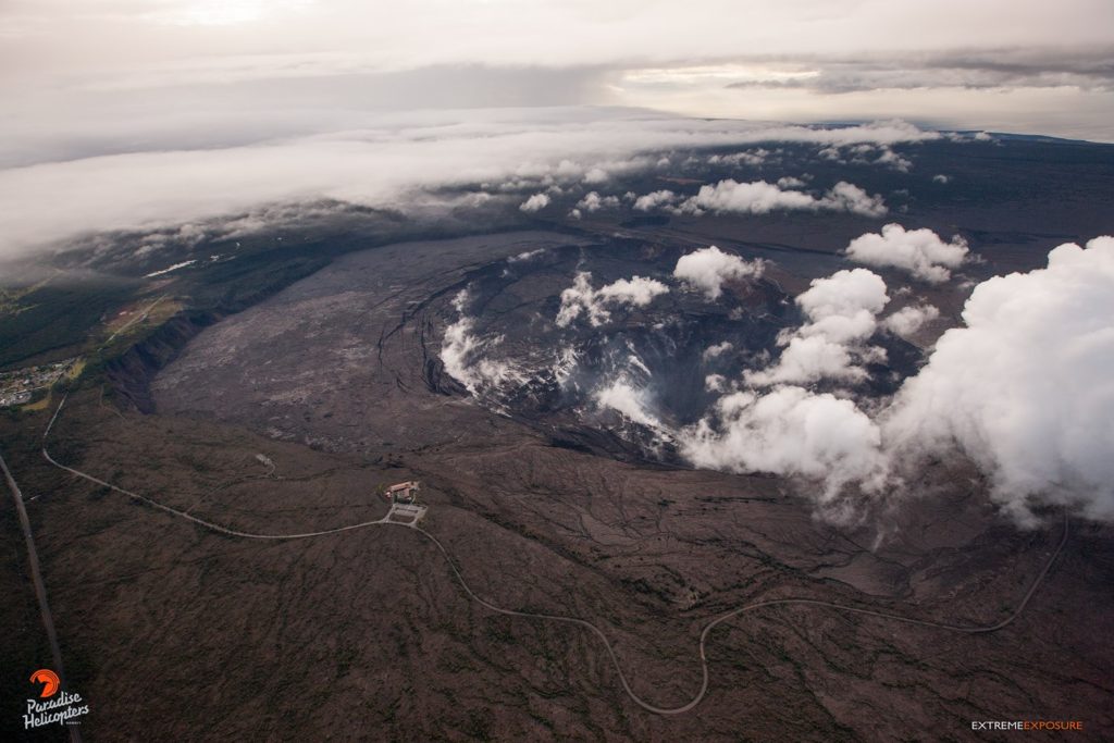
Kīlauea volcano is not erupting. However, intrusive activity that began on August 23 continues south of Kīlauea caldera. Ground deformation in Kīlauea’s south summit region continues, though at a rate slightly lower than the rates seen in the first intrusive pulse spanning August 23-25. In contrast, current earthquake activity remains low compared to the earlier pulses of this intrusive activity. The East Rift Zone remains quiet.
Observations:
The rate of ground deformation beneath the south part of Kīlauea summit region, within Hawaiʻi Volcanoes National Park, decreased slightly on the evening of August 28. The current rate is slightly lower than the rates seen in the first intrusive pulse spanning August 23-25. These observations suggest that magma is continuing to be supplied to the ongoing intrusion.
Over the past 24 hours, approximately 95 earthquakes were recorded at Kīlauea summit and south of Kīlauea caldera. Most of the earthquakes were less than magnitude 2 and occurred approximately 1-4 km (0.6-2.5 mi) below the surface. These small earthquakes have occurred at up to 7 detected earthquakes per hour. These earthquake rates are significantly lower than the rates observed earlier this week.
At the time of this statement, activity continues but there is no indication of upward migration of earthquakes toward the surface or change in deformation that would indicate shallowing of the source intrusive activity. Accordingly, Kīlauea’s Volcano Alert Level and Aviation Color Code remain at ADVISORY/YELLOW.
The Hawaiian Volcano Observatory (HVO) continues to closely monitor Kīlauea for changes in activity. HVO will continue to issue Kīlauea status reports and additional messages as needed.
Source : HVO
Photo : Bruce Omori.
Ecuador , Reventador :
DAILY REPORT OF THE STATE OF THE REVENTADOR VOLCANO, Sunday August 29, 2021.
Information Geophysical Institute – EPN.
Surface activity level: High, Surface trend: No change.
Internal activity level: Moderate, Internal trend: No change.
Seismicity: From August 28, 2021, 11: 00h to August 29, 2021, 11: 00h:
Explosions (EXP): 44 events
Long period type events (LP): 56
Tremors of emissions (TREMI): 3.
Harmonic Tremors (TRARM): 2.
Rains / lahars: There are no reports of rain
Emission / ash column: Yesterday afternoon several ash emissions were observed from 800 m and another exceeding 1000 m, the predominant direction was towards the West. This morning, the sector appeared partially clear, observing emissions up to 600 m, the direction was North-West and West. The VAAC reported several ash emissions with heights between 688 m and 988 m with the west direction.
Other monitoring parameters: MIROVA records 1 low thermal alert on the Reventador in the last 24 hours.
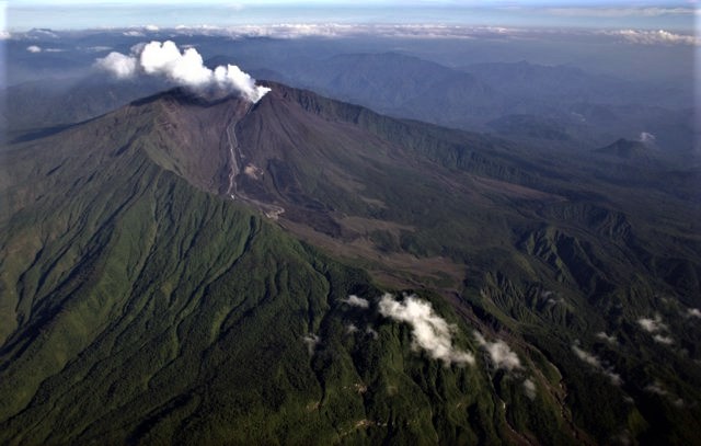
Observations: At night, an incandescence was observed in the upper part as well as the rolling of blocks on the south-eastern flank.
Alert level: Orange.
Source : IGEPN
Photo : Patricio Ramon, 2005 (Instituto Geofisca, Escuela Politecnica Nacional).
Guatemala , Fuego :
ACTIVITY:
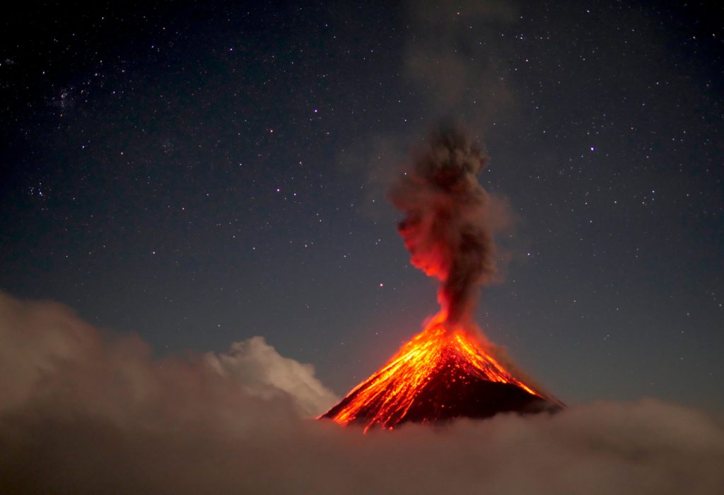
It is maintained with weak to moderate explosions, in a range of 8 to 12 per hour, expelling columns of ash at 4,500 and 4,800 meters of altitude. (14,763 to 15,748 feet) moving north, northwest, a distance of 15 kilometers. Ash fall is reported in El Rodeo, Alotenango, Ciudad Vieja, with ash fall probabilities over Antigua Guatemala and others in the region. It should be taken into account that the wind is variable, so that the ash plume can change direction over the hours.
Moderate explosions generate rumblings, with shock waves causing vibrations on the roofs and windows of houses in villages near the volcano. At night and early in the morning, glowing avalanches were observed in the canyons, Seca, Ceniza, Trinidad, Las Lajas and Honda. In the afternoon and at night, moderate and heavy rains continue in the volcanic area, so lahars can be generated, it is recommended to take care when passing the various ravines.
Source : Insivumeh .
Photo : 660citynews.com.
Alaska , Semisopochnoi :
51°55’44 » N 179°35’52 » E,
Summit Elevation 2625 ft (800 m)
Current Volcano Alert Level: WATCH
Current Aviation Color Code: ORANGE
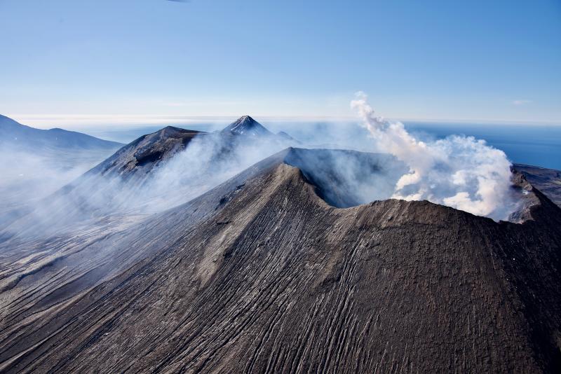
Eruptive activity continues at the north crater of Mount Cerberus on Semisopochnoi Island. Several small explosions occurred over the past 24 hours, detected seismically and by infrasound networks. Web camera views this morning confirm that ash is falling on parts of Semisopochnoi Island following these explosions. SO2 emissions were detected in satellite data.
Small eruptions producing minor ash deposits within the vicinity of the active north crater of Mount Cerberus and ash clouds usually under 10,000 feet above sea level have characterized the recent activity, which shows no signs of abating. Small explosions may continue to occur and could be difficult to detect, especially during poor weather conditions.
Semisopochnoi Island is monitored by local seismic and infrasound sensors, satellite data, web cameras, and remote infrasound and lightning networks.
Source : AVO
Photo : Read, Cyrus / Alaska Volcano Observatory / U.S. Geological Survey

