June 30 , 2020.
Peru , Sabancaya :
Analysis period: June 22 to 28, 2020. Arequipa, June 29, 2020
Alert level: ORANGE
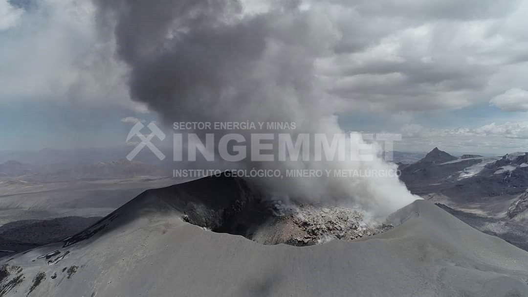
The Geophysical Institute of Peru (IGP) reports that the eruptive activity of the Sabancaya volcano remains at moderate levels; that is to say with the continuous recording of explosions with columns up to 4 km high above the summit of the volcano and consequent emissions of ash and gas. Therefore, for the following days, no significant change is expected regarding his eruptive activity.
The IGP recorded and analyzed the occurrence of around 400 earthquakes of volcanic origin, associated with the circulation of fluids (magma, gas, etc.) on the Sabancaya volcano (Arequipa region). In addition, an average of 12 low to medium intensity explosions were recorded daily.
The monitoring of the deformation of the volcanic structure (GNSS data processed with fast orbits) does not present any significant anomalies; however, slight inflation was recorded in the North and Southeast sector of the Sabancaya.
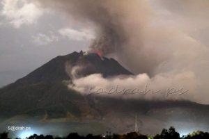
Visual surveillance identified columns of gas and ash up to 4 km high above the summit of the volcano, which were scattered towards the South-East, East and North-East sectors of the Sabancaya. An ash scattering alert was issued by the Volcanes Perú mobile app on June 27 for the districts of Madrigal, Lari, Achoma, Ichupampa, Yanque, Chivay and Coporaque, several of which reported ash falls in their territory.
Satellite surveillance identified the presence of 10 thermal anomalies with values between 2 MW and 10 MW, associated with the presence of a lava dome in the crater of the volcano being destroyed due to explosive activity.
RECOMMENDATIONS
• Maintain the orange volcanic alert level.
Source : IGP.
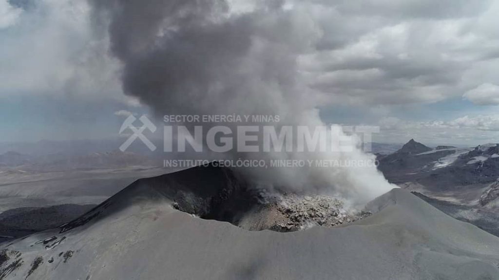
Photo : ingemmet
Peru , Ubinas :
Analysis period: June 22 to 28, 2020. Arequipa, June 29, 2020
Alert level: ORANGE
Suggested alert level: GREEN
The Geophysical Institute of Peru (IGP) reports that the Ubinas volcano (Moquegua region) recorded a slight increase in its seismic activity during the analysis period; therefore, it is suggested that the authorities and the population keep an eye on the bulletins issued by the IGP.
The IGP analyzed the seismic activity recorded on the Ubinas volcano between June 22 and 28 of this year.
During this period, the occurrence of 72 earthquakes of magnitude less than M1.9 was identified, associated with processes of rupture of the rocks inside the volcano. Similarly, 6 seismic signals were recorded, associated with the movements of volcanic fluids (water vapor and gas). There was no seismic activity related to the rise of magma.
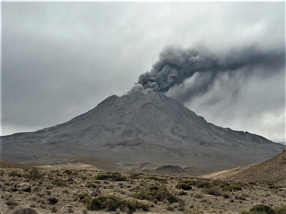
Surveillance cameras recorded columns of gas and water vapor that reached heights of up to 1,000 m above the summit of the volcano; These emissions were later dispersed to the northeast and southeast sectors of the volcano.
The monitoring of the deformation of the volcanic structure and the satellite monitoring via the SENTINEL, OMI-NASA (SO2 gas) and MIROVA (thermal anomalies) systems did not record any anomalies during the period.
Source : IGP.
Photo : Archive ingemmet
Islande , Essaim sismique :
The earthquake swarm NE of Siglufjörður is still ongoing. On June 28th in evening at 19:47 an earthquake M3.6 was measured about 20km NE of of Siglufjordur. Another earthquake M3.0 was measured at 23:25 in the same area. Both earthquakes were felt in neighboring towns of Siglufjordur and Ólafsfjordur.
The earthquake swarm began on 19th of June. Around 9000 earthquakes have been detected, three of which measured greater than magnitude 5. The largest was on Sunday at 19:07 of M5.8 around 30 km NNE of Siglufjörður. Other earthquakes above M5.0 were M5.6 and M5.4 and were located around 20 km NE of Siglufjörður.
Seismic activity if still ongoing and there are chances of more earthquakes of this magnitude occurring in the area.
Source : Vedur is .
Guatemala , Fuego :
SPECIAL VOLCANOLOGICAL BULLETIN
June 29, 2020, 1:29 p.m. local time
DESCENT OF LAHAR IN THE SECA / SANTA TERESA AND MINERAL RAVINES
Location: 14 ° 28’54˝Latitude N; 90 ° 52’54˝Longitude W.
Height: 3763 m above sea level.
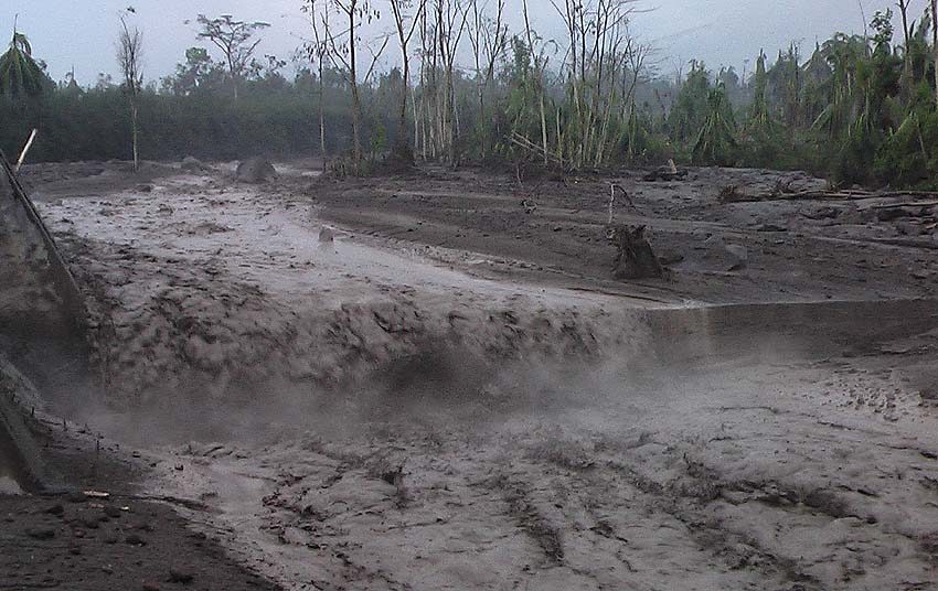
The descent of a weak lahar into the Seca / Santa Teresa and Mineral ravines, via Sangre de Cristo and Finca Palo Verde, was reported at 1:00 p.m. local time. These ravines are located on the western flank of the volcano and are tributaries of the Pantaleón river.
Currently, there is rain and thunderstorms in the upper part of the volcano, which has generated the descent of these lahars, which carry abundant volcanic materials such as ash and blocks 1 to 2 meters in diameter, trunks and branches of trees, vibrating the ground in their path.
If the rain persists, the generation of a greater number of lahars in this or other ravines of the volcanic complex is not excluded.
Source : Insivumeh .
Photo : Caroline Sarrazin , Rés-EAUx .
Russia / Kuril Islands, Ebeko :
VOLCANO OBSERVATORY NOTICE FOR AVIATION (VONA).
Issued: June 28 , 2020
Volcano: Ebeko (CAVW #290380)
Current aviation colour code: ORANGE
Previous aviation colour code: orange
Source: KVERT
Notice Number: 2020-146
Volcano Location: N 50 deg 41 min E 156 deg 0 min
Area: Northern Kuriles, Russia
Summit Elevation: 3791.68 ft (1156 m)
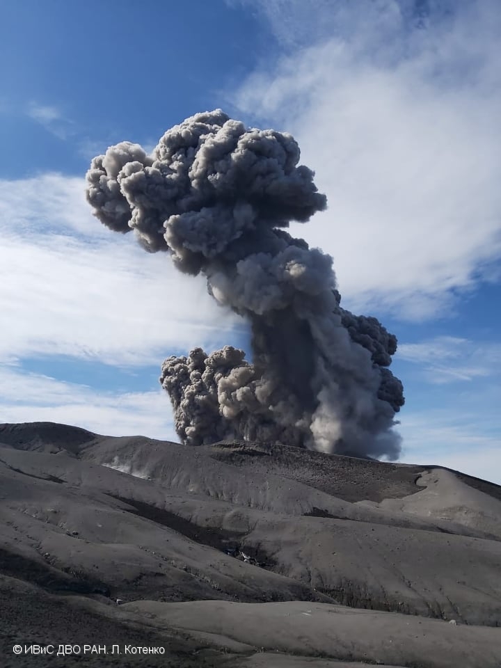
The explosive eruption of Ebeko volcano on 22 June, 2020.
Volcanic Activity Summary:
A moderate eruptive activity of the volcano continues. According to visual data by volcanologists from Severo-Kurilsk, explosion sent ash up to 3.3 km a.s.l., an ash cloud is drifting to the south-east of the volcano.
This eruptive activity continues. Ash explosions up to 19,700 ft (6 km) a.s.l. could occur at any time. Ongoing activity could affect low-flying aircraft and airport of Severo-Kurilsk.
Volcanic cloud height:
9840-10824 ft (3000-3300 m) AMSL Time and method of ash plume/cloud height determination: 20200628/0410Z – Visual data
Other volcanic cloud information:
Distance of ash plume/cloud of the volcano: 3 mi (5 km)
Direction of drift of ash plume/cloud of the volcano: SE
Time and method of ash plume/cloud determination: 20200628/0410Z – Visual data
Source : Kvert .
Photo : L. Kotenko. IVS FEB RAS

