December 15 , 2019.
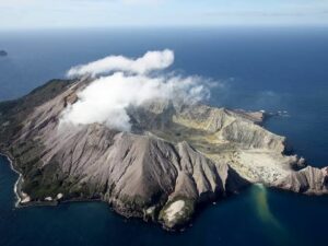
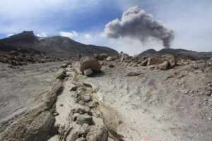
New Zealand , White Island :
Volcanic Alert BulletinWI – 2019/23 , Sun Dec 15 2019 10:30 AM; White Island Volcano
Volcanic Alert Level remains at 2
Aviation Colour Code remains at Orange
The level of volcanic tremor has remained low during Saturday and overnight at Whakaari/White Island. No further eruptions have occurred since Monday 9 December. The Volcanic Alert Level remains at Level 2.
Since the eruption on Monday, there has been no further significant eruptive activity. On Friday (13th) evening the volcanic tremor dropped significantly and has remained at low levels.
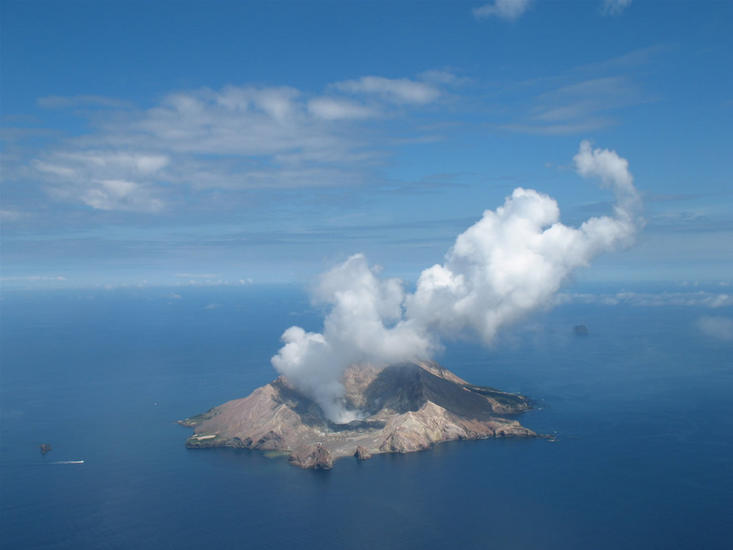
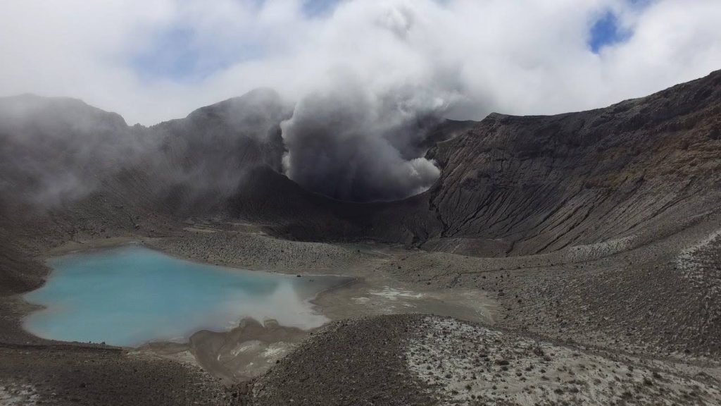
Overnight web camera images recorded a glow from the vent area, confirming high heat flow is present from the active vent area. This has been confirmed today by an aerial observation this morning that noted an active crater is emitting volcanic gas at a high rate and very high (> 200 °C) temperature.
The latest visual observations confirm that magma is degassing at shallow depths and the situation remains highly volatile. We are updating the eruption probability table, and this will be published on the GeoNet website later this morning. Some monitoring equipment is partially buried under ash and the batteries at one site have failed. This has affected one of our three cameras. We still receive data from the remaining equipment, which allows us to continue monitoring the volcano.
Should moderate-large explosive ash eruptions occur, there is an extremely low likelihood of any potential ash fall affecting the mainland. The steam and gas plume may also reach onshore and people may smell gas, depending on the prevailing wind direction.
We will continue to provide daily updates on activity unless the situation changes.
Source : Geonet / Geoff Kilgour / Duty Volcanologist .
Photo : Geonet.
Chile , Nevados of Chillan :
Seismic activity:
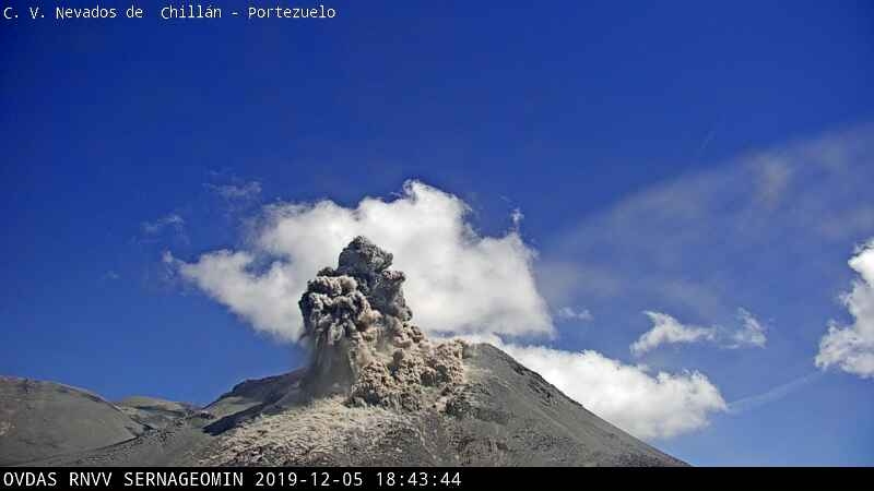
In the past 24 hours, the instrumental monitoring network of the volcanic complex has recorded a volcano-tectonic (VT), long period (LP), tremor (TR) and very long period (VLP) seismicity ), releasing seismic energy at moderate levels. This LP seismicity is frequently linked to the occurrence of explosions (EX), which cause surface activity.
Remarks:
The higher energy VT earthquake was located 3.6 km southeast of the active crater, at a depth of 6.1 km.
Observations:
During the period evaluated, no glowing volcanic material was observed around the active crater. We note the maintenance of diffuse gas emissions in the vicinity of the active crater.
-The Mirova group has not reported any thermal anomalies on the volcanic complex.
– The infrasound sensors recorded signals associated with explosions (EX), with a maximum value of 1.7 Pa reduced to 1 km.
– The Nicanor crater is observed with explosive activity from 4 separate emission centers, sometimes active simultaneously. The erosion of the South and South-East edge of the Nicanor crater due to the almost continuous explosions modified the dynamics of the explosive activity, implying as flank most affected the South-West, South, South-East and East flanks. This modification allows the descent of pyroclastic flows over a longer distance currently.
– As for the effusive activity, there has been no movement recorded since the end of November on the flow lobes described in previous reports.
Source : Sernageomin.
Costa Rica , Rincon de la Vieja / Poas / Turrialba :
Rincon de la Vieja Volcano :
Guanacaste volcanic chain
10,831 ° N – 85,336 ° W
Altitude of the active crater: 1560 m s.n.m.
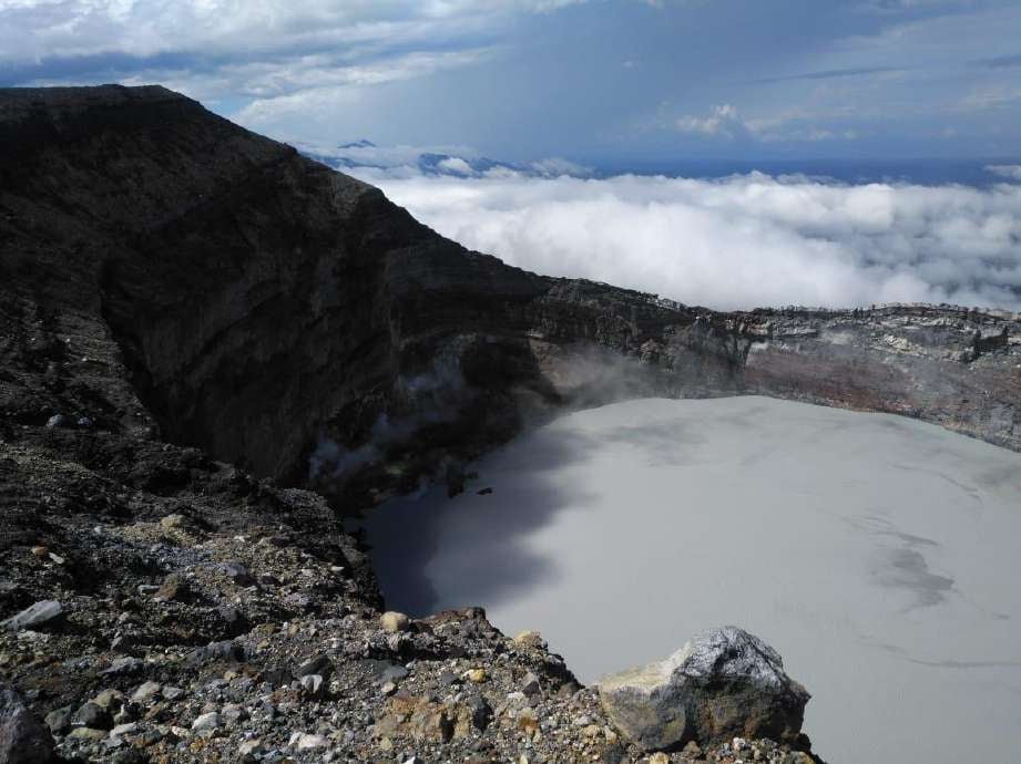
The seismic activity continued with the appearance of long period type signals (a little less than two dozen) recorded at the stations closest to the volcano. Sporadic signals of harmonic tremors are observed at the dominant frequency of 2.45 Hz. On December 5 at 07:42, a signal associated with a possible small phreatic eruption was recorded, of a duration of 90 seconds.
It is recommended to stay away from the canals of rivers near the volcano in the event of an eruption, due to the possibility of descent of primary lahars, as well as in case of rain, as secondary lahars could be generated by ash and materials accumulated in the upper parts of the volcano.
Poas Volcano:
Central volcanic chain
10197 ° N – 84702 ° W
Altitude of the active crater: 2550 m s.n.m.
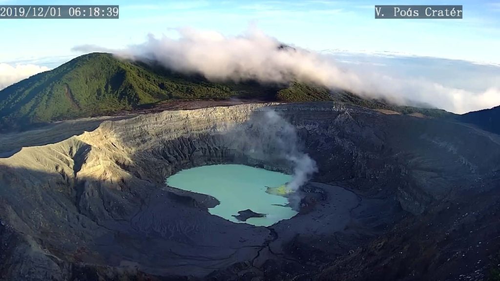
The crater lagoon maintained its level compared to the previous week. The color of the water continues to be greenish. Evaporation processes continue to be intense and precipitation is stable. The field of fumaroles rich in sulfur in the Northeast sector maintains its expiration activity. From outlet A, the release of vapors and gases was observed. Seismically, the low amplitude background tremor (2 to 4.5 Hz) was maintained, as well as the discrete events of LP type (long period) also of low amplitude. Visitors to Poás Volcano National Park are reminded that this site has protocols in case of an eruption. Depending on the type of activity, visits can be suspended or delayed. From the viewpoint of the main crater, there are four shelters to protect themselves in the event of an eruption. Tourists are asked to always be alert to any change in activity and to follow the instructions of the park wardens.
It is recommended to stay away from the canals of rivers near the volcano in the event of an eruption, due to the possibility of descent of primary lahars, as well as in case of rain, as secondary lahars could be generated by ash and materials accumulated in the upper parts of the volcano.
Turrialba volcano.
Central volcanic chain.
10017 ° N – 83765 ° W
Altitude of the active crater: 3230 m s.n.m.
The Turrialba volcano presented a stable state and of low activity. The water vapor and gas column dispersed mainly towards the West and Southwest sectors, except in the mornings, where it is oriented towards the North West sector. Seismic activity is low, dominated by low frequency discrete earthquakes. The presence of two lakes at the top of the volcano continues, with variations depending on the rain, while a third body of water forms for a few hours after the rains, but then disappears. The glow recorded by volcanic surveillance cameras in the active crater continues as intense as the previous week. No major change in seismicity was reported from the previous week.
Source : RSN Costa Rica .
Photos : Waldo Taylor / ICE. RSN . RSN .
Italy , Campi Flegrei :
Weekly bulletin from December 03, 2019 to December 10, 2019. (Updated to December 10, 2019, 12:00 local time)
SUMMARY OF THE ACTIVITY.
In light of the monitoring data:
1) Seismology: The last week, in Campi Flegrei, 80 earthquakes with a magnitude between -1.1 and 3.1 were recorded.
2) Deformation: The average value of the uplift in the zone of maximum deformation is around 0.7 cm / month since July 2017, even in the presence of oscillations in the time series lasting a few days. The uplift recorded at the RITE GPS station is approximately 58 cm since January 2011.
3) Geochemistry: The flow of CO2 from the ground measured last week did not show any significant change compared to the previous period, which confirms the persistence of the long-term trend. Last week, the temperature of the main Pisciarelli fumaroles, after falling due to heavy precipitation events, was stable at values of ~ 112 ° C.
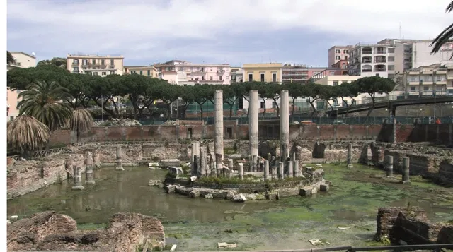
The Temple of Serapis in Pozzuoli. On its columns are visible signs left by lithodomes, marine organisms, deposited during the submersion phases during past bradyseism crises.
Seismology:
Over the past seven days, 80 earthquakes have been recorded with magnitudes between -1.1≤Md≤3.1. It was possible to determine the hypocentric parameters of 39 of the recorded events. Between 23:51 on December 05 and 02:24 on December 06, there was recorded an earthquake swarm composed of a sequence of 34 earthquakes with a magnitude between M1.1 and M3.1, located in the Pisciarelli Solfatara area at depths between 0.9 and 2.3 km. The earthquake of 06 December 2019 at 00:17 UTC with a magnitude = 3.1 is currently the most energetic event recorded since the resumption of this phase of bradiseism started in 2005.
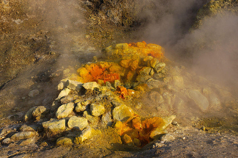
Biggest fumarole in Solfatara crater
Deformation:
The average speeds calculated over the period from July 2017 to today confirm the maximum uplift of the RITE station (Rione Terra – Pozzuoli) of about 0.7cm / month, despite the fluctuations in the time series of the past few days. The uplift recorded at the RITE GPS station is approximately 58 cm since January 2011, including approximately 22.5 cm since January 2017.
Source : INGV Vulcani.
Read the article : http://www.ov.ingv.it/ov/bollettini-campi-flegrei/Bollettino_Flegrei_2019_12_10.pdf
Photos : INGV , Patrick Massot (wikipedia) .

