December 08 , 2019.
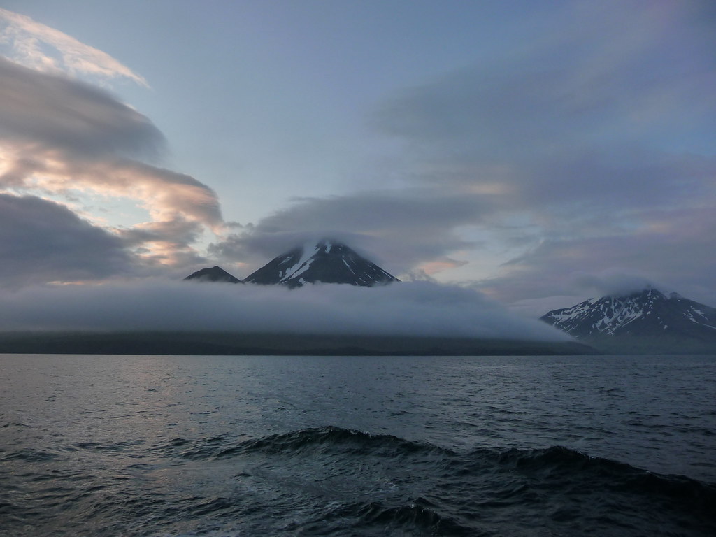
Alaska , Semisopochnoi :
AVO/USGS Volcanic Activity Notice
Volcano: Semisopochnoi (VNUM #311060)
Current Volcano Alert Level: WATCH
Previous Volcano Alert Level: ADVISORY
Current Aviation Color Code: ORANGE
Previous Aviation Color Code: YELLOW
Issued: Saturday, December 7, 2019, 1:25 AM AKST
Source: Alaska Volcano Observatory
Notice Number:
Location: N 51 deg 55 min E 179 deg 35 min
Elevation: 2625 ft (800 m)
Area: Aleutians
Volcanic Activity Summary:
An eruption signature was detected as strong tremor on local seismic and in regional infrasound networks on Adak Island. The event started at 00:26 AKST / 09:26 UTC and has continued with and ongoing but weaker local seismic signal. Any volcanic ash emissions are most likely low-level.
The meteorological cloud deck has been around 10,000′ (3000 m) asl over Semisopochnoi and no ash signals have been detected above this height. Nothing has been detected in lightning data.
Recent Observations:
[Volcanic cloud height] No cloud observed
[Other volcanic cloud information] No cloud observed.
A small eruption began at 00:26 AKST / 09:26 UTC from Semisopochnoi detected on the local seismic and regional infrasound networks. In response, the Aviation Color Code/Alert Level was raised to ORANGE/WATCH. Intermittent explosions continued overnight. Seismicity was slightly elevated prior to the first detected explosion and continues at elevated levels today. No significant ash emissions or other surface activity were detected in overnight satellite imagery.
Remarks: Semisopochnoi is monitored with an on-island seismic network, and remotely by satellite and lightning sensors. An infrasound array on Adak Island could detect explosive emissions from Semisopochnoi with a 13 minute delay if atmospheric conditions permit.
Source : AVO.
Photo : Kim F
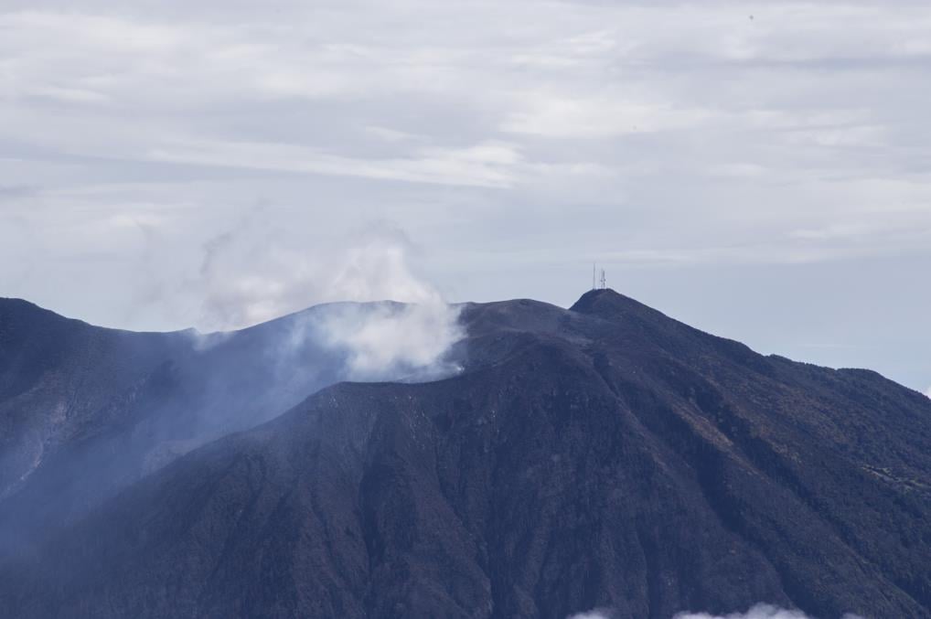
Costa Rica , Rincon de la Vieja / Arenal / Poas / Turrialba :
RINCÓN DE LA VIEJA VOLCANO .
Volcanic mountain range of Guanacaste
10,831 ° N – 85,336 ° O
Altitude of the active crater: 1560 m s.n.m.
The seismic activity was maintained with the appearance of long period type signals (a little over a dozen) recorded at the nearest stations of the volcano. Small pulses of harmonic tremors were observed from 2 December.
It is recommended to stay away from the canals of rivers near the volcano in case of eruption, due to the possibility of primary lahars, and in case of rain, secondary lahars could be generated by ashes and materials accumulated in the upper parts of the volcano.
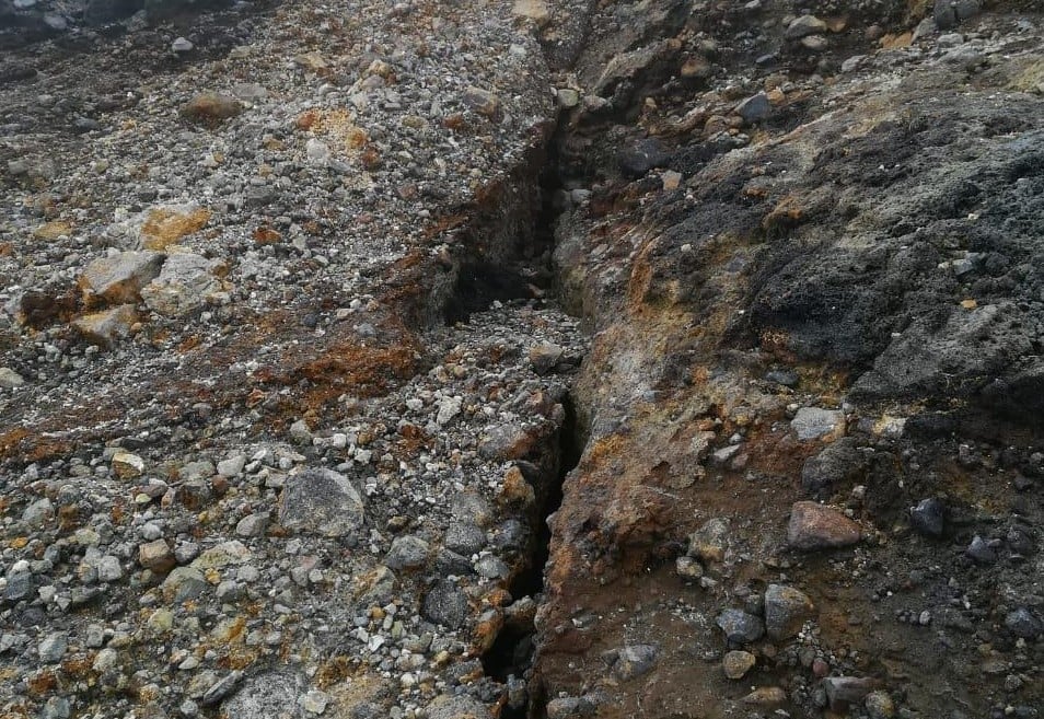
On this photograph of Rincon de la Vieja volcano, November 19, 2019, part of the main crack, concentric, on the southern flank of the active crater, is observed. Photograph of Krista Thiele, ICE.
ARENAL VOLCANO .
Tilarán Mountain Range
10412 ° N – 84702 ° W
Altitude of the active crater: 1755 m s.n.m.
The Arenal volcano has maintained a seismic activity characterized by volcano-tectonic events (slightly over a dozen), mainly recorded at the nearest station. In addition, 4 signals associated with debris avalanches have been identified; the most important occurred on November 29 at 4:40.
On a clear day, small fumes of water vapor have been observed due to condensation and the remaining heat that still persists at the top of the main crater.
Photograph by Otilio Guzmán of ICE.
POÁS VOLCANO .
Central volcanic chain
10197 ° N – 84702 ° W
Altitude of the active crater: 2550 m s.n.m.
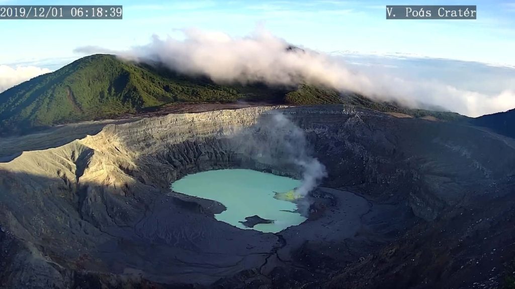
The lake has slightly increased its area compared to the previous week. The color of the water continues to be greenish. The evaporation processes were as intense as the previous week and rainfall increased due to a cold front that entered the Caribbean sector. The field of fumaroles rich in sulfur in the North-East sector maintains its activity of expiration. From the mouth A, the output of projections and gases was observed. Seismically, the background tremor of low amplitude (2 to 4.5 Hz) was maintained, as well as discrete events of type LP (long period) also of low amplitude. Visitors to the Poás Volcano National Park are reminded that this site has protocols for eruptions. Depending on the type of activity, visits may be suspended or delayed. At the belvedere of the main crater, there are four shelters to protect themselves in case of eruption. Tourists are advised to always pay attention to any change of activity and to follow the instructions of the park wardens.
It is recommended to stay away from river canals near the volcano in case of rain, as secondary lahars could be generated by ashes and accumulated materials in the upper parts of the volcano by eruptions of years and weeks past. .
TURRIALBA VOLCANO .
Central volcanic chain
10017 ° N – 83765 ° W
Altitude of the active crater: 3230 m s.n.m.
The Turrialba volcano has a stable state and low activity. The column of water vapor and gas dispersed mainly to the west and southwest sectors, with the exception of the early hours of the morning, or it is dispersed to the northwestern sector. The seismic activity is weak, dominated by discrete low frequency earthquakes. The presence of two lakes at the top of the volcano continues, with variations depending on the rain, while a third body of water forms for a few hours after the rains, but then disappears. The incandescence recorded by the volcanic surveillance cameras in the active crater continues as intense as the previous week. No major seismic changes were reported compared to the previous week.
Photograph taken by Dr. Paulo Ruiz.
Source : RSN.
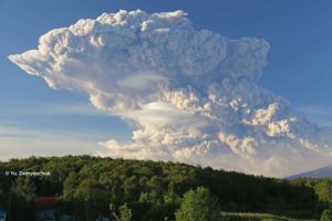
Kamchatka , Ebeko :
VOLCANO OBSERVATORY NOTICE FOR AVIATION (VONA).
Issued: December 08 , 2019
Volcano: Ebeko (CAVW #290380)
Current aviation colour code: ORANGE
Previous aviation colour code: orange
Source: KVERT
Notice Number: 2019-175
Volcano Location: N 50 deg 41 min E 156 deg 0 min
Area: Northern Kuriles, Russia
Summit Elevation: 3791.68 ft (1156 m)
Volcanic Activity Summary:
A moderate eruptive activity of the volcano continues. According to visual data by volcanologists from Severo-Kurilsk, explosions send ash up to 2.7 km a.s.l., an ash cloud is drifting to the north-east of the volcano.
A moderate eruptive activity of the volcano continues. Ash explosions up to 19,700 ft (6 km) a.s.l. could occur at any time. Ongoing activity could affect low-flying aircraft and airport of Severo-Kurilsk.
Volcanic cloud height:
8200-8856 ft (2500-2700 m) AMSL Time and method of ash plume/cloud height determination: 20191208/0315Z – Visual data
Other volcanic cloud information:
Distance of ash plume/cloud of the volcano: 5 mi (8 km)
Direction of drift of ash plume/cloud of the volcano: ENE / azimuth 75 deg
Time and method of ash plume/cloud determination: 20191208/0315Z – Visual data
Source : Kvert.
Photo : Кирилл Баканов.
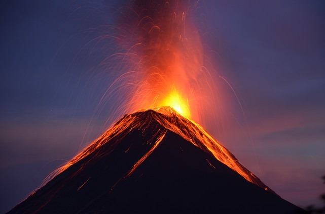
Guatemala , Fuego :
Activity:
The conditions reported in Bulletin No. 105 on the effusive activity of the Fuego volcano persist. White degassing at an approximate height of 4400 meters above sea level (14435 feet) disperses in a west and southwest direction. The activity generates 10 to 15 low to moderate explosions per hour that expel gray ash columns at an altitude of 4500 to 4800 m (14764 to 15748 feet), which disperse between 10 and 15 kilometers to the West, South and Southeast.
In the evening and early in the morning, incandescent impulses were observed between 100 and 300 meters above the crater with moderate to strong avalanches around the crater towards the ravines of Seca, Taniluyá, Trinidad and Cenizas, some of the materials expelled descend to the edge of the vegetation. There is a weak incandescence in the crater. Low to moderate rumblings generate shock waves that vibrate the houses of communities close to the volcano, as well as low to moderate gassing sounds similar to train locomotives with times of 3 to 5 minutes. Falls of fine ash particles are noted in the areas of Panimaché I, Morelia, Santa Sofía, Porvenir, Palo Verde, Yepocapa and others located in this direction. The continuous flow of lava towards the Cenizas Channel with a distance of 500 meters persists, creating avalanches that can reach the edge of the vegetation.
Source : INSIVUMEH.
Photo : nath Duverlie , 05/05/219

