October 22 , 2019.
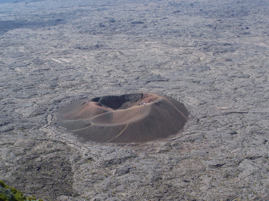
La Réunion , Piton de la Fournaise :
Activity bulletin of 21 October 2019 at 20:15 (local time).
Since 20:00 local time on October 21, a seismic crisis is recorded on the instruments of the Volcanological Observatory of Piton de la Fournaise.
This seismic crisis is accompanied by rapid deformation. This indicates that the magma is leaving the magma reservoir and is spreading to the surface. An eruption is likely in the near future in the next minutes or hours.
Further information will follow regarding the area impacted by this magmatic spread to the surface.
Activity Bulletin of October 21, 2019 at 10:15 pm (local time).
Following the seismic crisis started on 21/10/2019 at 20:00 local time, the number of earthquakes has greatly decreased since 20:34 local time.
The surface deformations stopped around 8:30 pm, which meant stopping the magma intrusion in depth.
Given the strong seismicity recorded in recent days, no hypothesis is ruled out for the moment as to the following events: 1) recovery of this spread of magma to the surface, 2) new spread of magma from the reservoir to the surface, 3) stopping the spread.
As a reminder, the eruptions of 18 February – 10 March 2019 and 03-04 April 2018 had been preceded by an intrusion of similar magma having stopped at depth, respectively 2 and 3 days before the onset of the eruption.
Alert level: Alert 1.
Source : OVPF.
Photo : G Vitton
Italy / Sicily , Etna :
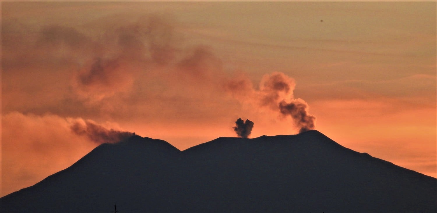
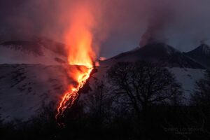
Explosive activity continues on Etna craters: Strombolian activity in the crater of Bocca Nuova, Strombolian activity and ash emissions from the craters of the Northeast and Voragine, as well as small and rare emissions of ashes from the new Southeast crater.
Tonight (October 21, 2019) at sunset, Etna looked like this. Variable intensity ash emissions from the Northeast crater (right) and Voragin ash puffs (center), strong gas emission with very few ash puffs from the New Southeast Crater (left) . Strombolian activity is also occurring inside the crater of Bocca Nuova, which is not visible from the outside.
Source : INGV Vulcani , Boris Behncke.
Chile , Nevados de Chillan :
Report of Special Volcanic Activity (REAV), Nevados de Chillán Volcanic Complex Region, October 21, 2019, at 07:15 local time (mainland Chile)
The National Geological and Mining Service of Chile (Sernageomin) discloses the following PRELIMINARY information, obtained through the monitoring equipment of the National Volcanic Monitoring Network (NVRN), processed and analyzed at the Volcanological Observatory of the South Andes (OVDAS) ):
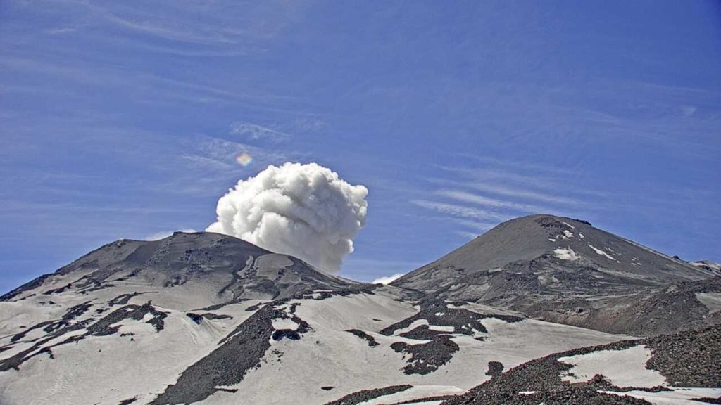
Monday, October 21 at 06:52 local time (09:52 UTC), the control stations installed near Nevados de Chillán recorded an explosion related to the dynamics of fluids within the volcanic system with emissions of gases and materials particulate.
The characteristics of the earthquake are as follows:
TIME OF ORIGIN: 06h52 local time (09h52 UTC)
LATITUDE: 36,860 ° S
LONGITUDE: 71.372 ° W
DEPTH: 0.4 km
REDUCED TRAVEL: 604 cm2
ACOUSTIC SIGNAL: 1,1 [Pa · Km]
OBSERVATIONS:
The volcanic technical alert is maintained at the Orange level.
Sernageomin monitors online and informs in time about possible changes in the country’s volcanic activity.
Source : Service national de géologie et des mines (Sernageomin) , Réseau national de surveillance volcanique (RNVV) , Observatoire volcanologique .
Peru , Ubinas :
Period of analysis: 14-20 October 2019. Arequipa, October 21, 2019.
Current alert level: ORANGE
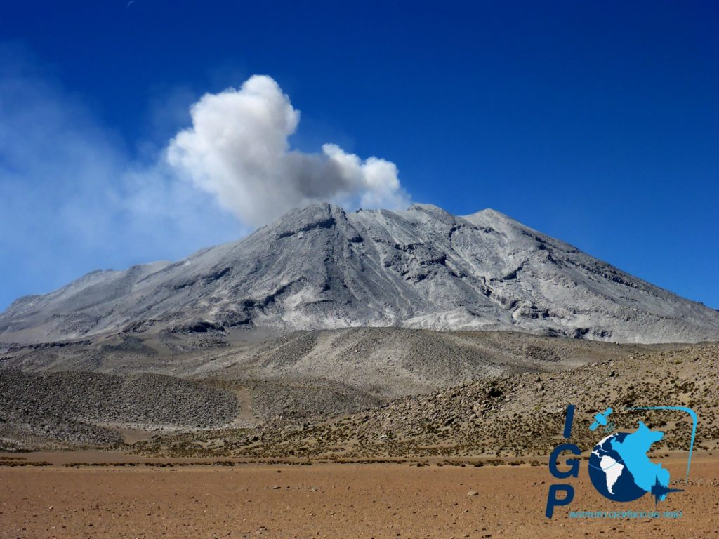
The Geophysical Institute of Peru (IGP) reports that the Ubinas volcano continues its eruptive process. To date, earthquake energy associated with magma rising has decreased. Sporadic emissions of bluish gas (of magmatic origin) and water vapor, observed with surveillance cameras, are recorded. In this scenario, the probability of recording volcanic explosions and / or ash emissions is low; therefore, it is recommended to decrease the level of volcanic alert at the yellow level.
During the period from 14 to 20 October, the IGP recorded and analyzed a total of 3449 seismic events associated with the eruptive process of the Ubinas volcano, with predominant seismicity of the volcano-tectonic (VT) type, related to the fracturing of rocks inside the volcano, with an average value of 311 events per day, all with magnitudes less than M2.4. There has been an increase in the number but not the energy of the seismic signals that are related to the rise of the magma (hybrid type). On average, 151 earthquakes were recorded each day during this period. Since September 12, no volcanic explosion has been recorded.
The surveillance cameras recorded light and sporadic emissions of blue (magmatic) gas and water vapor, with heights below 500 m above the volcano’s summit. The monitoring of the deformation of the volcanic structure, using GNSS data (processed with fast orbits), shows no anomaly. The MIROVA satellite monitoring did not record a thermal anomaly in the crater of the volcano.
RECOMMENDATIONS • It is recommended to lower the volcanic warning level from orange to yellow. •
Source : IGP Pérou .
Indonesia , Tangkuban Parahu :
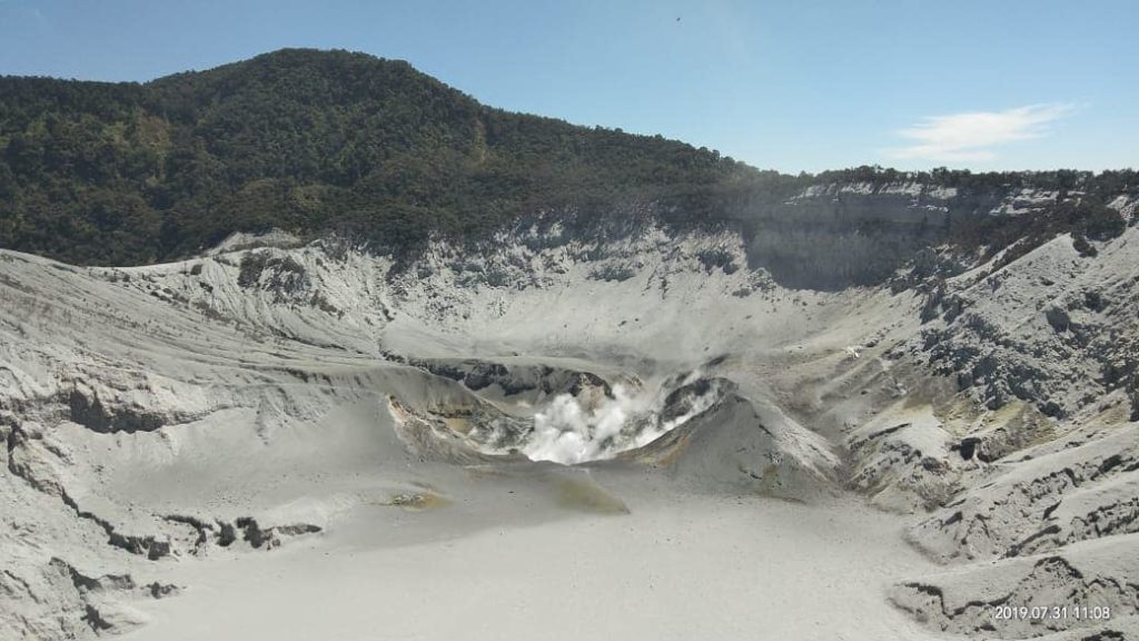
The Tangkuban Parahu Volcano is an active volcano located in the West Bandung Regency and Subang Regency regions of West Java Province. Eruptions of G. Tangkuban Parahu in general are phreatic eruptions from the crater Kawah Ratu. The eruption series of 2019 began with a phreatic eruption on July 26, 2019, producing a gray-black eruption column with an eruption column height of 200 to 300 m from the bottom of the crater, followed by a a series of continuous eruptions in August 2019, producing a thick gray-white eruption column with an eruption column height of 120 to 200 m above the crater floor. The last eruption occurred on September 7, 2019.
Here is an evaluation of the latest activities of Tangkuban Parahu:
Monitoring data:
Groundwater eruptions in the form of ash and mud eruptions have not been observed in the past month. The current activity in the form of gas / water vapor at the bottom of the current active crater (Kawah Ratu) is weak, white, thick, with an average height of 50 m from the bottom of the crater.
The seismicity of the Tangkuban Parahu since 1 October 2019 has been dominated by swarms of earthquakes. Volcanic earthquakes (low frequency, deep volcanic and shallow volcanic, tremors) are still recorded, the trend of seismic energy to continue to decline.
The observation of the deformation by measuring the oblique distance with the EDM shows a deflation pattern of the Tangkuban Parahu, indicating that there is currently no movement of magma towards the surface.
Measurements of volcanic gas concentrations SO2 and H2S indicate values below the dangerous threshold. Measurements of the ratio of H2S / SO2 gases show that the current activity is more dominant in the shallow hydrothermal.
Analysis:
Visual and instrumental observations show that the volcanic activity of G. Tangkuban Parahu is decreasing.
Potential danger:
The phreatic eruptions have not been observed, but it is necessary to be aware of the threat of increasing concentrations of gases that could endanger safety, which is still possible around the active crater at present.
Conclusion:
Referring to the current potential threat, the level of activity of Tangkuban Parahu was reduced from Level II (Waspada) to Level I (Normal) from 21 October 2019, 09.00 WIB. Continuous evaluation is always done to anticipate the level of activity and the potential threat of eruption.
Source : PVMBG.
Photo : MNC trijaya.

