April 25 , 2019.
Italy / Sicily , Stromboli :
38.789°N, 15.213°E
Elevation 924 m
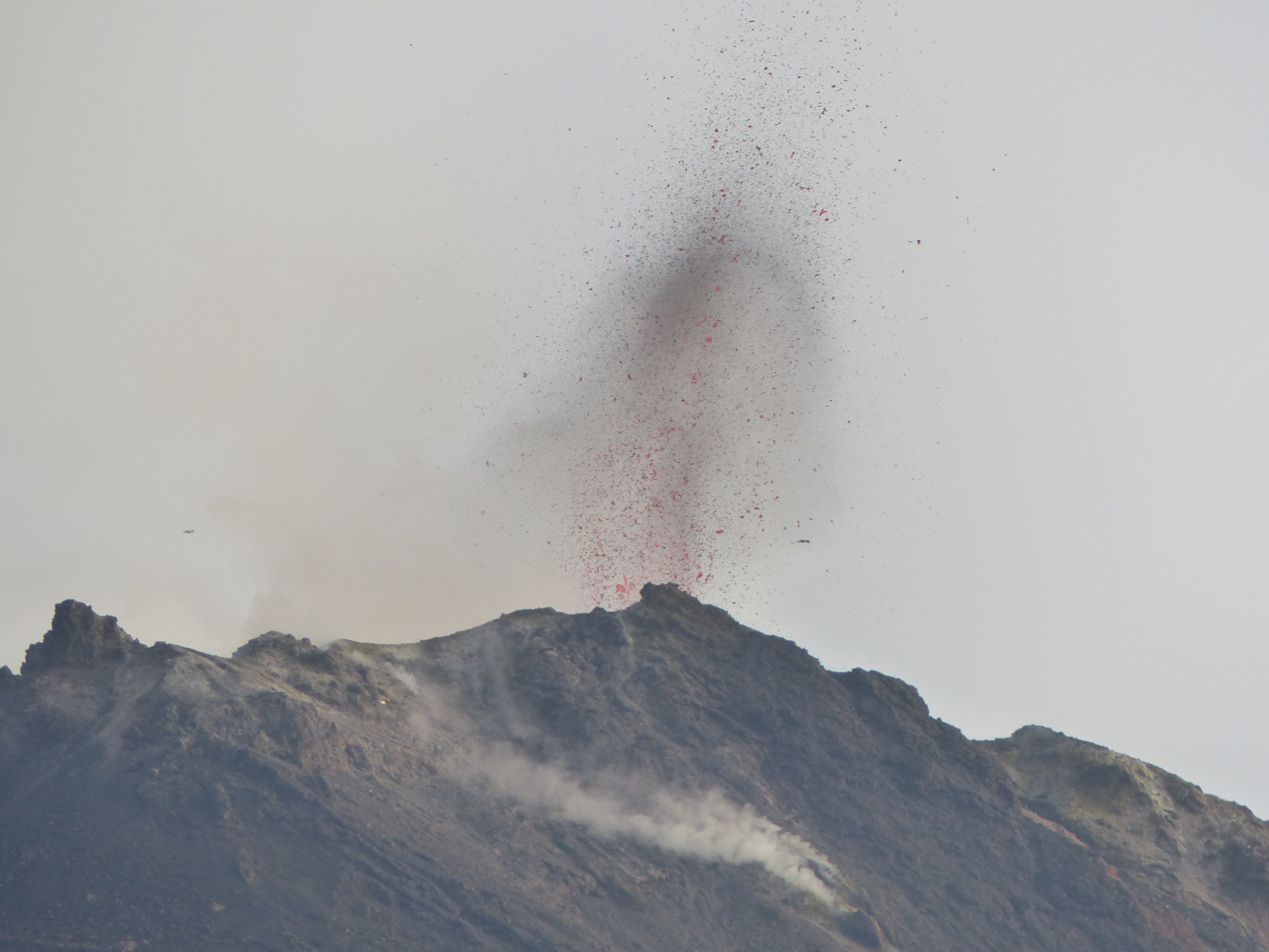
INGV reported that during 15-21 April activity at Stromboli was characterized by ongoing Strombolian activity and degassing from multiple vents within the crater terrace, though activity intensified on 19 April. Explosions originated at a rate of 3-16 per hour mainly from two vents (N1 and N2) in Area N (north crater area, NCA) and at least four vents (including C, S1, and S2) in Area C-S (South Central crater area).
Explosions from the N1 vent ejected lapilli and bombs mixed with ash no more than 150 m high. Low-intensity explosions at the N2 vent ejected tephra to heights under 80 m. Vent C produced gas emissions. Incandescent material from S1 jetted as high as 150 m above the crater. Explosions from two vents at S2 ejected tephra more than 150 m high.
Source: Section de Catane – Osservatorio Etneo (INGV) , GVP.
Photo : Georges Vitton
Colombia , Nevado del Ruiz :
Weekly activity bulletin of the Nevado del Ruiz volcano
The level of activity continues at the level: Yellow activity level or (III): Modifications of the behavior of the volcanic activity.
With regard to monitoring the activity of the Nevado del Ruiz volcano, the COLOMBIAN GEOLOGICAL SERVICE announces that:
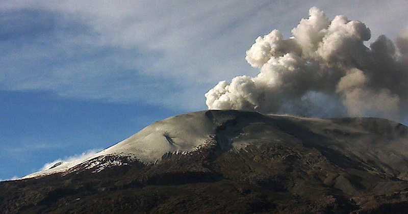
The Nevado del Ruiz volcano over the past week continued to exhibit unstable behavior. Seismicity was mainly related to fluid dynamics within volcanic canals. Constant recordings of low-energy continuous volcanic tremors are highlighted, as well as the presence of low frequency (LP) and very low frequency (VLP) earthquakes as well as volcanic tremor pulsations, with variable energy similar to those of the previous week. The earthquakes were mainly located in the crater Arenas and its surroundings. Some of these signals were associated with gas and ash emissions.
As for the volcano-tectonic activity, which is associated with rock fracturing in the vicinity of the volcano, it showed similar levels in terms of the number of earthquakes and an increase in seismic energy released versus to the previous week. The earthquakes were located mainly northeast of the Arenas crater and dispersed on the flanks of the volcano at depths between 1.4 and 7.1 km. The maximum magnitude recorded during the week was 2.8 ML (local magnitude), corresponding to the 21 April earthquake at 12:38 (local time), located 1.4 km northeast of the Arenas crater, at a distance of depth of 3.8 km. This earthquake would have been felt in the area of Brisas by officials of the Los Nevados National Park.
Volcanic deformation, measured from electronic inclinometers, has not recorded any significant changes over the past week.
The column of gas and steam reached a maximum height of 1800 m, measured at the top of the volcano on April 17. On 17, 18 and 19 April, it was observed gray / brown due to the presence of volcanic ash. The direction of column dispersion was governed by the direction of the wind in the area, which fluctuated over the last week to the northwest, west and southwest of the volcano.
The Nevado del Ruiz volcano continues at the level of yellow activity.
Source : SGC
Japan , Aira Caldeira ( Sakurajima) :
31.593°N, 130.657°E
Elevation 1117 m
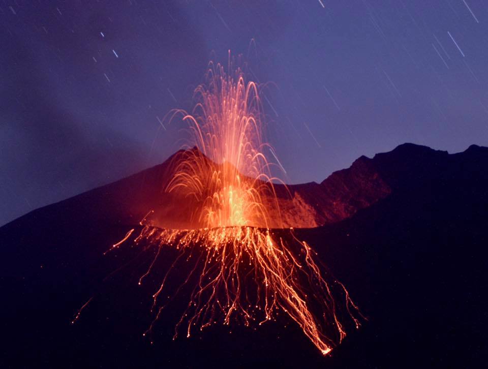
JMA reported that the sulfur dioxide emission rate at Minamidake crater (at Aira Caldera’s Sakurajima volcano) was somewhat high on 16 April at 1,600 tons/day. An explosion on 17 April generated a plume that rose 2 km above the crater rim and ejected material as far as 900 m. During 19-22 April plumes from two events rose as high as 1.4 km. The Alert Level remained at 3 (on a 5-level scale).
The Aira caldera in the northern half of Kagoshima Bay contains the post-caldera Sakurajima volcano, one of Japan’s most active. Eruption of the voluminous Ito pyroclastic flow accompanied formation of the 17 x 23 km caldera about 22,000 years ago. The smaller Wakamiko caldera was formed during the early Holocene in the NE corner of the Aira caldera, along with several post-caldera cones. The construction of Sakurajima began about 13,000 years ago on the southern rim of Aira caldera and built an island that was finally joined to the Osumi Peninsula during the major explosive and effusive eruption of 1914. Activity at the Kitadake summit cone ended about 4850 years ago, after which eruptions took place at Minamidake. Frequent historical eruptions, recorded since the 8th century, have deposited ash on Kagoshima, one of Kyushu’s largest cities, located across Kagoshima Bay only 8 km from the summit. The largest historical eruption took place during 1471-76.
Source: Agence météorologique japonaise (JMA) , GVP.
Photo : k. Arima
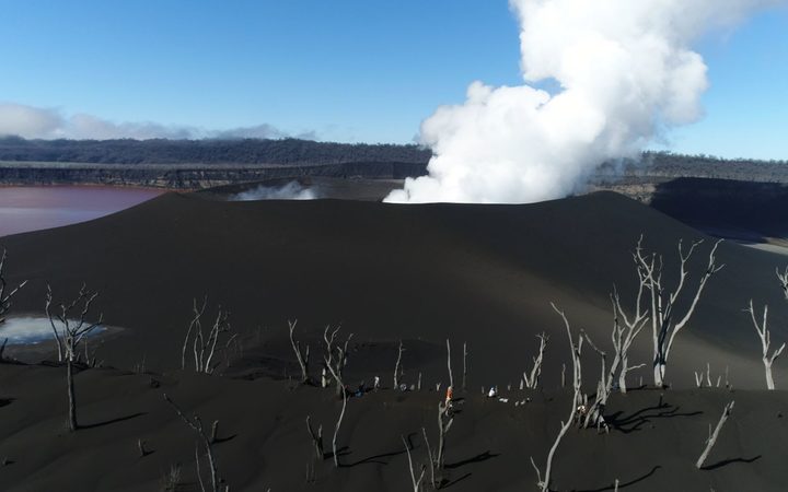
Archipel du Vanuatu , Ambae :
AMBAE VOLCANO ALERT BULLETIN No4 issued by the Vanuatu Meteorology and Geohazards Department on 24th April 2019 at 10:18 AM:
Ambae volcano is continuing in the major unrest state. The Volcanic Alert Level remains at Level 2.
The volcanic ashes that fell on Ambae during the 2017 and 2018 eruption could continue to change the behaviour of streams and creeks when it rains. The creeks and streams can produce floods and carry a lot more debris (sands, gravel and boulders). The flow path of streams and creeks could change due to the flood debris. Landslide may occur at some areas during heavy rain fall.
Latest observations and analysis of seismic data recorded from the monitoring station confirm that the volcano activity remains in the major unrest state (Level 2). The volcano activity consist of ongoing emission of steam and/or other volcanic gases. Villages exposed to dominant winds could expect to find volcanic ashfalls deposits and smell volcanic gases.
Alert Level for Ambae has been at the Level 2 since 21st September 2018. Observations of the current activity are consistent with the Alert Level 2 activity. Level 2 indicates ‘Major unrest; Danger remains at 2 km around the volcanic vents and areas inside the Yellow Zone.’ The possibility that the Ambae volcano activity escalate to the level of minor eruption (Level 3) is now low.
Source : Geohazard
Photo : Philippe Carillo ( 2018).

