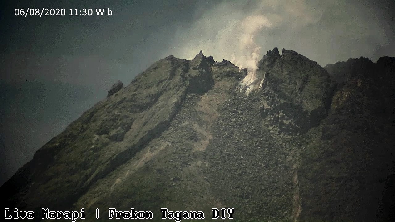
September 26, 2020. EN . Italy / Sicily : Etna , Chile : Villarica , Indonesia : Semeru , Philippines : Taal , Iceland : Seismicity .
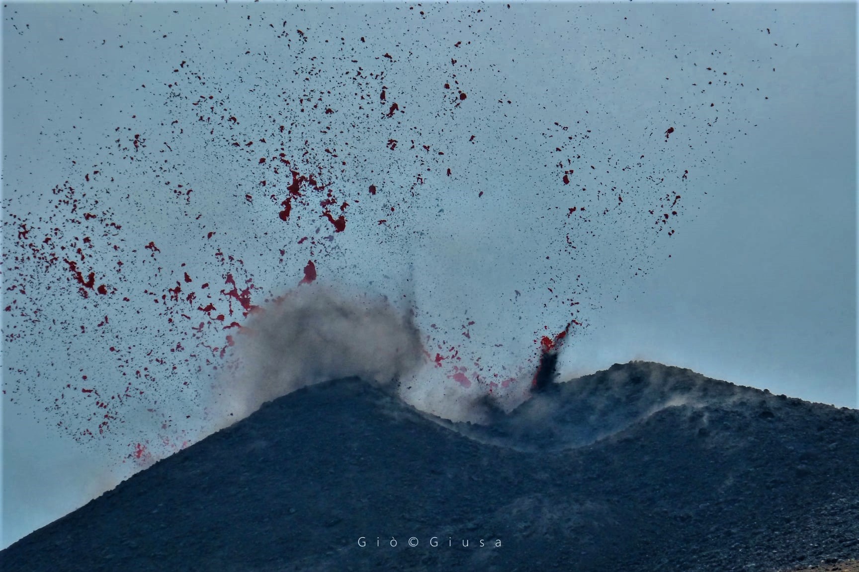
September 26 , 2020. Italy / Sicily , Etna : ETNA PRESS RELEASE [UPDATE n. 76], September 25, 2020. The National Institute of Geophysics and Volcanology, Osservatorio Etneo,…