July 04 , 2023.
La Réunion , Piton de la Fournaise :
Press release from the Paris Institute of Earth Physics, Piton de la Fournaise Volcanological Observatory, July 03, 2023 – 1:10 p.m. – 9:10 a.m. UTC.
Ongoing eruption
The eruption started on July 02, 2023, around 08:30 local time continues. The amplitude of the volcanic tremor, (indicator of an emission of lava and gas on the surface) suffered a sharp drop around 10:12 a.m. local time (6:12 a.m. UTC) this day. This sudden drop may be linked to a drop in surface activity and/or a change in geometry at the level of the eruptive conduit.
Unfortunately, given the poor weather conditions on site since 10 a.m. local time, no flow estimate by satellite method could be made since 10 a.m. On the other hand, the lava flow estimates established by satellite method on the HOTVOLC platform (OPGC – Clermont Auvergne University) until 10 a.m. (local time) indicated an average flow of around 12 m3/s (fluctuation between 7 and 27 m3 /s).
An overview this morning by the OVPF-IPGP teams between 8 a.m. and 10 a.m. local time showed that:
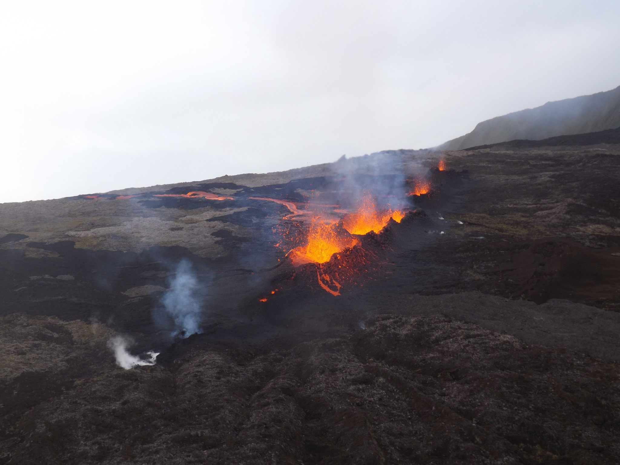
– several eruptive fissures had opened on the eastern flank of the volcano on 07/03/2023 in the Piton Vouvoul sector, but that activity in this sector had ceased. Only degassing of eruptive fissures was observed. The front of this flow stopped around 1700 m altitude.
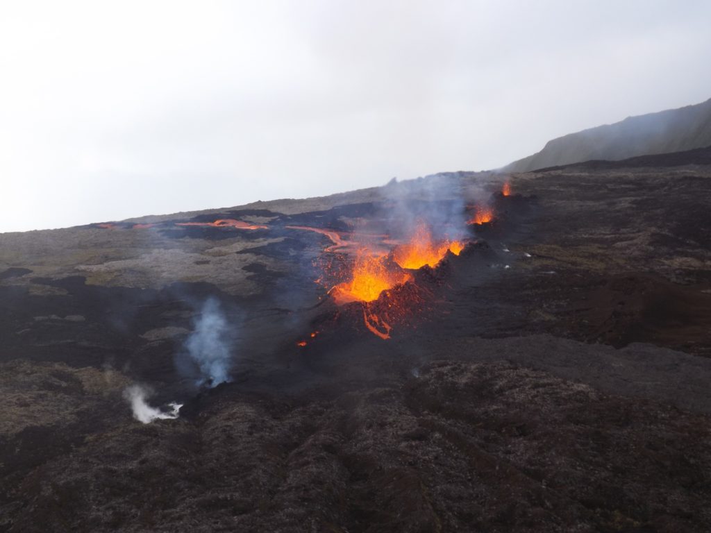
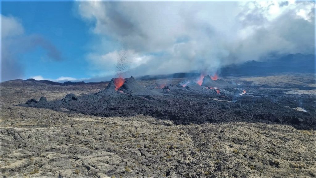
– surface eruptive activity focused on the crack that opened on the southeast flank of the volcano at 5:50 p.m. local time yesterday. The eruptive fissure is about 500 m long and lava fountain activity was still clearly visible along its entire length this morning. A main flow emanating from this crack runs down the Grandes Pentes and was located this morning at 9:40 a.m. at about 2.4 km from the road at an altitude of 650 m.
– a strong plume of gas was observed at the level of the route du volcan and Pas de Bellecombe.
Deep activity still continues. Since the beginning of the eruption, strong seismic activity is still recorded. Thus, 1459 superficial volcano-tectonic earthquakes under the summit and 38 deep volcano-tectonic earthquakes under the eastern flank have been recorded since the start of the eruption.
Given the persistence of strong seismicity, especially under the eastern flank of the volcano, it is not excluded that other eruptive cracks will open, especially at lower altitudes, and/or outside the Enclos .
Increased vigilance is required in the sectors bordering the North and South Enclosure. Indeed, given the high probability of the emission of degassed magma, it could be that the OVPF stations located in the sector do not record a volcanic tremor if a crack were to open at low altitude. and/or outside the Enclos .
Alert level: Alert 2-1 (eruption in the Enclos without any particular threat to the safety of people, property or the environment).
Source : OVPF
Photos : OVPF
Peru , Ubinas :
Ash alert: Areas affected: District of Ubinas (centers of Querapi, Ubinas, Sacohaya, Anascapa, Tonohaya and Escacha), July 01, 2023, 12:30 p.m.
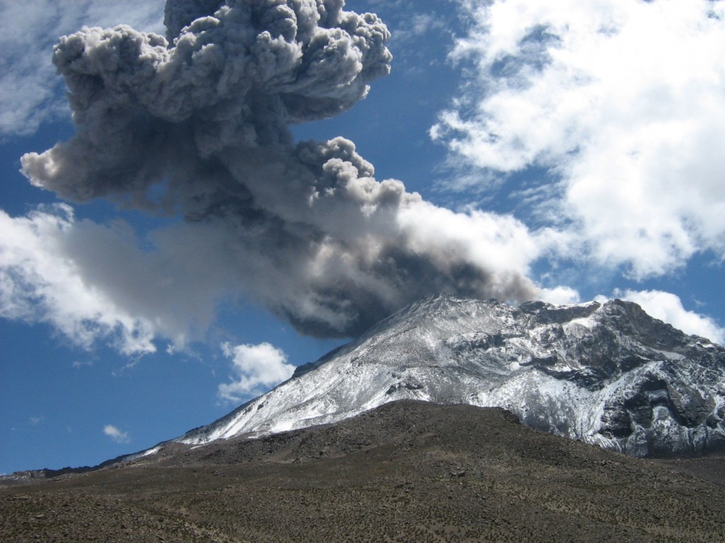
Type of event: Continuous ash emissions, Direction of scattering: South and Southeast, Radius of scattering: greater than 10 km
Observations: Satellite images and those obtained by means of scientific cameras installed around the volcano show that the ash ejected by the Ubinas volcano dispersed towards the southern and southeastern sectors of the volcano, where the district of Ubinas (Querapi , Ubinas, Sacohaya, Anascapa, Tonohaya and Escacha), as well as ranches and pastures.
Recommendations: Ashes can cause environmental problems and affect people’s health. In the event of ash fall, we recommend: a) Protect your eyes with goggles and use masks to avoid damage to the respiratory tract. b) That the competent authorities and institutions carry out a permanent evaluation of the impact of the ashes on water, soil, air and human health.
Analysis period: 01-2 July 2023 Arequipa, 03 July 2023.
Alert level: ORANGE
The Geophysical Institute of Peru (IGP) reports that the geophysical processes that allow to know the dynamic behavior of the Ubinas volcano (Moquegua region) continues to record an increase in its seismic activity associated with the rise of magma, thermal anomalies in its crater and the recording of slight ash emissions. For this, it is suggested to the authorities to maintain the volcanic alert level at the Orange level.
During the analysis period, the occurrence of 72 volcano-tectonic (VT) type earthquakes was detected, associated with rock rupture processes that occur inside the volcano. In addition, 114 long-period (LP) type seismic signals were recorded, associated with the movements of volcanic fluids (gas and magma), with a maximum energy of 0.2 Megajoules. Finally, the seismic signals associated with ash emissions have decreased in recent hours. For all this, the magmatic phase (volcanic explosions) could occur in a short or medium duration.
The monitoring of the deformation of the volcanic structure, show variations of less than 5 mm of displacement (within the margin of error of the instruments). Satellite monitoring shows 2 thermal anomalies in the Ubinas crater with a maximum value of 4 MW. The surveillance cameras made it possible to identify columns of gas and ash which reached heights of 1700 m above the summit of the volcano, which were dispersed mainly towards the South, South-West, South-East sectors, and northwest of the Ubinas volcano. Ash falls were recorded in the localities of Ubinas and Querapi.
RECOMMENDATIONS
• Maintain the Volcanic Alert Level to ORANGE.
Source : Cenvul
Photo : Auteur inconnu.( archive).
Philippines , Mayon :
MAYON VOLCANO BULLETIN 04 July 2023 8:00 AM
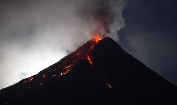
In the past 24-hour period, very slow effusion of lava from the summit crater of Mayon Volcano continued to feed lava flows and collapse debris on the Mi-isi (south) and Bonga (southeastern) gullies as well as rockfall and PDCs on these and the Basud (eastern) Gullies. The lava flows have advanced to approximate lengths of two thousand eight hundred (2800) meters and one thousand three hundred (1300) meters along Mi-isi and Bonga gullies, respectively, from the summit crater while collapse debris have deposited to four thousand (4000) meters from the crater. Six (6) dome-collapse pyroclastic density currents (PDC) that lasted three (3) minutes, one (1) lava front collapse pyroclastic density currents (PDC) that generated 300 meters high light-brown plume, two hundred five-seven (257) rockfall events, and one (1) volcanic earthquake were recorded by the Mayon Volcano Network.
Continuous moderate degassing from the summit crater produced steam-laden plumes that rose 200 meters before drifting to the west-northwest and west-southwest direction. Sulfur dioxide (SO2) emission averaged 1,558 tonnes/day on 03 July 2023. Short-term observations from EDM and electronic tiltmeter monitoring show the upper slopes to be inflating since February 2023. Longer-term ground deformation parameters based on EDM, precise leveling, continuous GPS, and electronic tilt monitoring indicate that Mayon is still inflated, especially on the northwest and southeast.
Alert Level 3 is maintained over Mayon Volcano, which means that it is currently in a relatively high level of unrest as magma is at the crater and hazardous eruption within weeks or even days is possible.
Source : Phivolcs.
Photo : Auteur inconnu. ( archive).
Guatemala , Santiaguito :
Weather conditions: clear weather
Wind: North-East
Precipitation: 14.2 mm.
Activity:
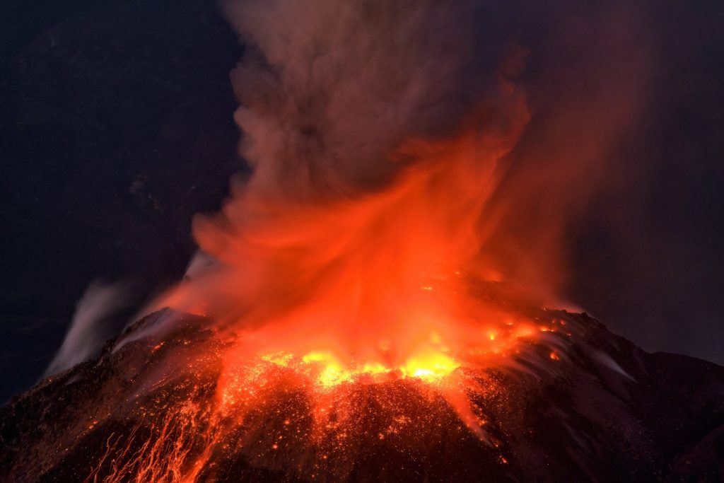
The observatory of the Santa María-Santiaguito volcanic complex reports intermittent incandescence in the dome of the Caliente dome and a weak degassing column with some increasing pulses, at heights of 400 meters above the dome. Weak to moderate explosions continue to occur at a rate of 1 to 2 per hour, raising columns of water vapor and ash to heights between 500 and 1,000 meters above the dome, as well as flows blocks and ashes over short distances to the west and the south, east and north flanks of the Caliente dome. The descent of these flows produces weak noises perceptible in the areas close to the domes, and during the night and in the early morning, it is possible to observe the incandescence of these flows. Due to the direction of the wind, ash may fall in areas near the Caliente Dome, such as San Marcos Palajunoj and surrounding farms.
It is recommended not to approach the lava flow in the Zanjón Seco and San Isidro channels, due to the intense heat it gives off and because of the collapses that still occur on its edges, which could cause burns and other serious injury to those who approach it. The activity remains at a high level and continues to pile up material in an unstable manner in the dome of the Caliente dome, as well as along the lava flow, so it remains possible that with the explosions or under the effect of gravity, part of this material collapses and pyroclastic flows over long distances are generated towards the South-West, South and East.
Source : Insivumeh.
Photo : Thomas Spinner via FB.
Mexico , Popocatepetl :
July 03, 11:00 (July 03, 17:00 GMT)
Activity in the last 24 hours
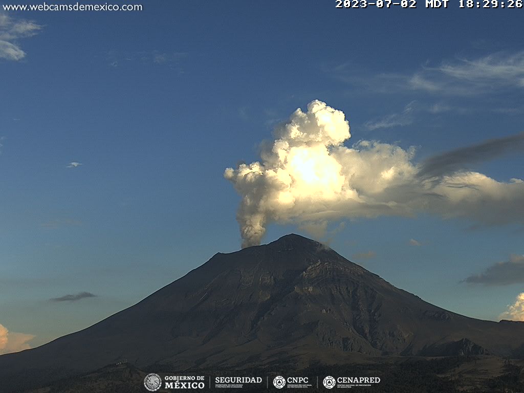
Thirty-seven exhalations were detected, accompanied by water vapor, volcanic gases and sometimes light amounts of ash.
Additionally, 230 minutes of tremor were recorded (low to mid amplitude and high frequency segments were identified, totaling 165 minutes in total, in addition to 65 minutes of low amplitude harmonic tremor).
During the morning, an emission of water vapor, gas and ash was observed in a southwesterly direction.
The Popocatépetl volcanic alert traffic light is located in phase 2 Yellow.
The scenarios planned for this phase are:
Some minor to moderate explosions
Variable amplitude tremor occurrence
Light to moderate ash fall in surrounding towns and some more distant towns
Ejection of glowing fragments within the 12 kilometer exclusion radius
We could expect the appearance of lahars descending through the ravines, due to the accumulation of ash on the slopes and its interaction with the rains expected in the coming weeks.
Possibility of pyroclastic flows not reaching the populations.
Source : Cenapred.

