April 29 , 2023.
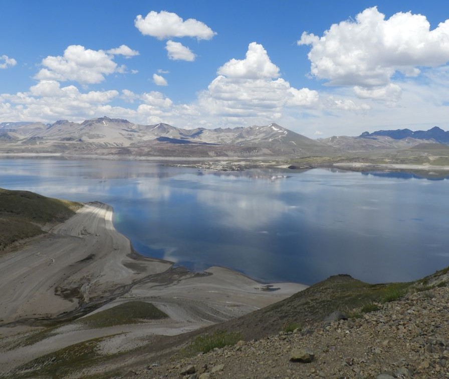
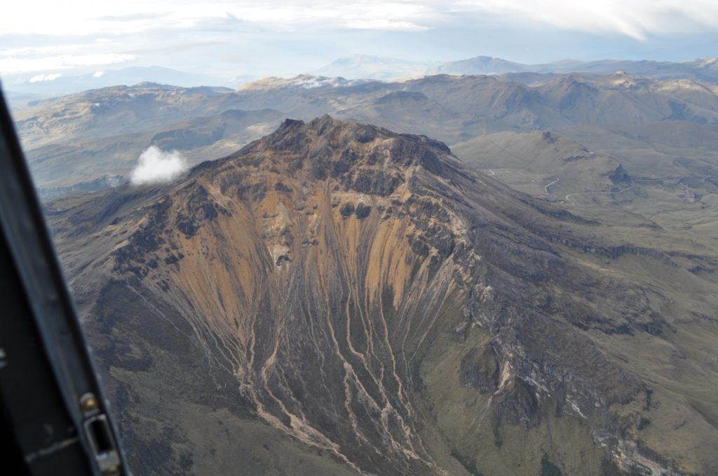
Chile , Laguna del Maule :
Special Report on Volcanic Activity (REAV), Maule region, Laguna del Maule volcanic complex, April 26, 2023, 3:10 p.m. local time (mainland Chile)
The National Geology and Mining Service of Chile (Sernageomin) announces the following PRELIMINARY information, obtained through the monitoring equipment of the National Volcanic Monitoring Network (RNVV), processed and analyzed at the Volcanological Observatory of the Andes del Sud ( Ovdas):
On Wednesday April 26 at 2:32 p.m. local time (6:32 p.m. UTC), the monitoring stations installed near the Laguna del Maule volcanic complex recorded an earthquake, associated with rock fracturing (volcano-tectonic type, VT).
The characteristics of the earthquake of greatest magnitude recorded for the moment after its analysis are as follows:
ORIGINAL TIME: 2:32 p.m. local time (6:32 p.m. UTC)
LATITUDE: 36.095°S
LONGITUDES: 70.489°E
DEPTH: 7.5 km
LOCAL MAGNITUDE: 3.1 (ML)
Comments:
No changes in seismic activity are observed following the reported event. Cameras show no change in surface activity.
The volcanic technical alert remains at the Yellow level.
Source : Sernageomin.
Photo : Segemar.
Hawaii , Kilauea :
19°25’16 » N 155°17’13 » W,
Summit Elevation 4091 ft (1247 m)
Current Volcano Alert Level: ADVISORY
Current Aviation Color Code: YELLOW
Activity Summary:
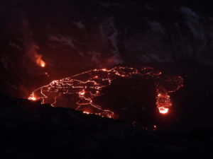
Kīlauea volcano is not erupting. No active lava has been observed since March 7, 2023. Over the past day, no significant changes have been observed at the summit or along either of the volcano’s rift zones. A magnitude-4.2 earthquake near Pāhala yesterday afternoon had no apparent impact on Kīlauea.
Halemaʻumaʻu Crater Observations:
No active lava has been observed over the past day.
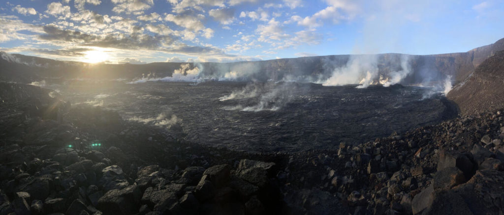
Early in the morning on Friday, April 21, two crews of geologists from the Hawaiian Volcano Observatory flew via helicopter into Halema‘uma‘u crater at the summit of Kīlauea to collect geologic samples. One crew visited the crater floor to sample cooled lava from the 2020–2023 summit eruptions, and another crew scaled part of the crater’s northwest wall to sample ash beds and lava flows dating back many thousands of years in the volcano’s past. Both crews witnessed a spectacular sunrise from inside the crater, as captured in this panorama from the base of the northwest wall.
Summit Observations:
Uēkahuna tiltmeter has tracked slight inflationary tilt over the past day. Small flurries of earthquakes have occurred irregularly beneath Halemaʻumaʻu, Keanakākoʻi Crater, and the southern margin of Kaluapele (Kīlauea caldera) since April 16. Earthquake activity in the summit region remains slightly elevated. A sulfur dioxide (SO2) emission rate of approximately 75 tonnes per day (t/d) was measured yesterday, April 26.
Rift Zone Observations:
No unusual activity has been noted along the East Rift Zone or Southwest Rift Zone; steady rates of ground deformation and seismicity continue along both. Measurements from continuous gas monitoring stations in the middle East Rift Zone, the site of 1983–2018 eruptive activity, remain below detection limits for SO2.
Source : HVO.
Photo : USGS / M. Zoeller.
Alaska , Aniakchak :
56°54’21 » N 158°12’32 » W,
Summit Elevation 4400 ft (1341 m)
Current Volcano Alert Level: ADVISORY
Current Aviation Color Code: YELLOW
Seismicity beneath Aniakchak volcano remained above background levels over the past week, with occasional small earthquakes continuing to occur. The largest earthquakes had magnitudes between 1 and 3. The earthquakes are occurring below the center of the caldera and to the east of the volcano at depths shallower than about 4 miles (6 km).
No other signs of volcanic unrest were observed in satellite or webcam images over the last week, and no new satellite radar data were available to verify if recent ground inflation has continued.
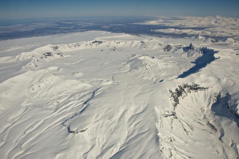
Aerial view of snow-covered, 6-mile-wide, Aniakchak Caldera on the Alaska Peninsula. View is towards the north-northeast. Aniakchak last erupted in 1931. Chiginagak Volcano is the high peak on the far right horizon.
Increases in seismic activity and surface deformation have been detected previously at other similar volcanoes, with no subsequent eruptions. We expect additional shallow seismicity and possibly other signs of unrest, such as gas emissions, elevated surface temperatures, and additional changes in surface deformation to precede any future eruption, if one were to occur.
AVO monitors Aniakchak with a local network, which consists of six seismometers, a web camera, and a single infrasound sensor, as well as satellite remote sensing data and regional infrasound and lightning networks. Several of the seismic stations, however, stopped transmitting data on March 4 due to low power levels. Another seismometer on the volcano stopped transmitting data on April 21 due to presumed snow cover and low power levels. A new seismometer was installed in Port Heiden on April 12, so two local seismic stations are now in operation. We are unable to locate smaller earthquakes due to the outages. A new webcam was also deployed in Port Heiden.
Source : AVO
Photo : Wood, Roy
Indonesia , Dukono :
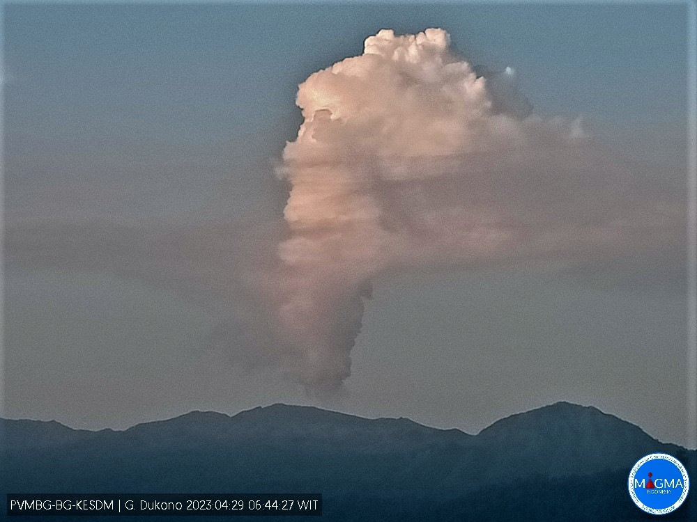
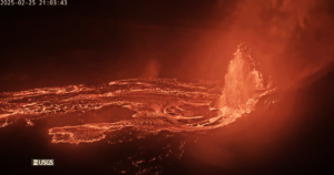
G. Dukono presented an eruption on Saturday April 29, 2023 at 06:44 WIT. The height of the eruptive column was observed at ± 600 m above the summit (± 1829 m above sea level). The ash column was observed to be white to gray with thick intensity, oriented to the west. At the time of writing this report, the eruption was still ongoing.
VOLCANO OBSERVATORY NOTICE FOR AVIATION – VONA
Issued : April 28 , 2023
Volcano : Dukono (268010)
Current Aviation Colour Code : ORANGE
Previous Aviation Colour Code : orange
Source : Dukono Volcano Observatory
Notice Number : 2023DUK002
Volcano Location : N 01 deg 41 min 35 sec E 127 deg 53 min 38 sec
Area : North Maluku, Indonesia
Summit Elevation : 3933 FT (1229 M)
Volcanic Activity Summary :
Eruption with volcanic ash cloud at 21h44 UTC (06h44 local).
Volcanic Cloud Height :
Best estimate of ash-cloud top is around 5853 FT (1829 M) above sea level or 1920 FT (600 M) above summit. May be higher than what can be observed clearly. Source of height data: ground observer.
Other Volcanic Cloud Information :
Ash cloud moving to west. Volcanic ash is observed to be white to gray. The intensity of volcanic ash is observed to be thick.
Remarks :
Eruption and ash emission is continuing.
Source et photo : Magma Indonésie.
Colombia , Chiles / Cerro Negro :
Chiles and Cerro Negro Volcanic Complex (CVCCN) Weekly Activity Bulletin
Regarding the monitoring of the activity of the VOLCANOES CHILES AND CERRO NEGRO, the MINISTRY OF MINES AND ENERGY through the COLOMBIAN GEOLOGICAL SERVICE (SGC) informs that:
Between April 18 and April 24, 2023, the number of earthquakes increased compared to the previous two weeks, maintaining similar energy levels. Although the predominance of seismicity associated with rock fracture persists in various sectors of the volcanic edifices, it is also pointed out that the significant record of fluid dynamics-related events within the volcanic system continues.
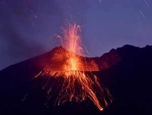
The vast majority of fracture earthquakes were located south of the Chiles volcano at distances up to 4 km, with depths less than 6 km from its summit (4700 m altitude). This week, the recording of 5 events with magnitudes greater than 2.5 stands out, including those recorded on April 23 at 8:12 p.m. and April 24 at 12:35 a.m. with magnitudes of 3.1 and 3.2 respectively, which were reported as being felt by residents residing in areas near the CVCCN.
The deformation processes continue, recorded both by sensors installed on the volcanoes, and by the analysis of satellite images.
In the fluctuating behavior of the complex, the possibility of high-energy earthquakes that can be felt by the inhabitants of the zone of influence is not excluded.
The activity level of the volcanoes remains at:
YELLOW LEVEL ■ (III): CHANGES IN THE BEHAVIOR OF VOLCANIC ACTIVITY.
Source et photo : SGC


