February 28 , 2023.
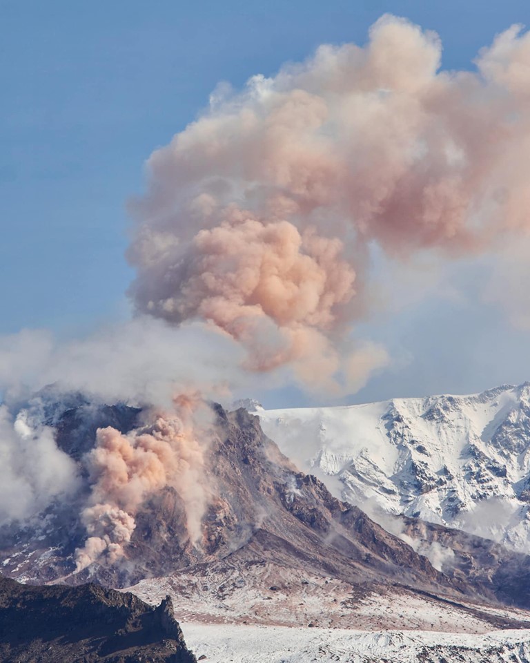
Kamchatka , Sheveluch :
VOLCANO OBSERVATORY NOTICE FOR AVIATION (VONA)
Issued: February 28 , 2023
Volcano: Sheveluch (CAVW #300270)
Current aviation colour code: ORANGE
Previous aviation colour code: orange
Source: KVERT
Notice Number: 2023-28
Volcano Location: N 56 deg 38 min E 161 deg 18 min
Area: Kamchatka, Russia
Summit Elevation: 3283 m (10768.24 ft), the dome elevation ~2500 m (8200 ft)
Volcanic Activity Summary:
The growth of the lava dome continues, a strong fumarole activity, an incandescence of the lava dome, sometimes explosions, and hot avalanches accompanies this process. Satellite and video data by KVERT showed a gas-steam plume contained some amount of ash is drifting to the north-east of the volcano.
The extrusive eruption of the volcano continues. Ash explosions up to 10-15 km (32,800-49,200 ft) a.s.l. could occur at any time. Ongoing activity could affect international and low-flying aircraft.
Volcanic cloud height:
3700-4000 m (12136-13120 ft) AMSL Time and method of ash plume/cloud height determination: 20230228/0425Z – Video data
Other volcanic cloud information:
Distance of ash plume/cloud of the volcano: 47 km (29 mi)
Direction of drift of ash plume/cloud of the volcano: NE / azimuth 50 deg
Time and method of ash plume/cloud determination: 20230228/0340Z – Himawari-9 14m15
Source : Kvert.
Photo : Nickita Batischev
Chile , Villarica :
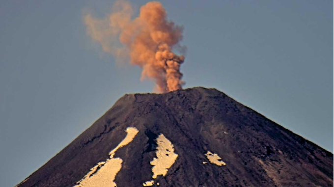
Special Report on Volcanic Activity (REAV), La Araucanía and Los Ríos regions, Villarrica volcano, February 27, 2023, 11:10 a.m. local time (mainland Chile)
The National Geology and Mining Service of Chile (Sernageomin) announces the following PRELIMINARY information, obtained through the monitoring equipment of the National Volcanic Monitoring Network (RNVV), processed and analyzed at the Observatory of Volcanoes of the Southern Andes (Ovdas):
On Monday, February 27, 2023, at 10:56 a.m. local time (1:56 p.m. UTC), monitoring stations installed near the Villarrica volcano recorded an earthquake associated with fluid dynamics inside the volcanic system (type LP).
The characteristics of the 1st earthquake, after its analysis, are as follows:
ORIGINAL TIME: 10:56 a.m. local time (1:56 p.m. UTC)
REDUCED DISPLACEMENT: 22.3 (cm*cm)
The characteristics of this activity are as follows:
MAXIMUM HEIGHT OF THE COLUMN: 300 meters above the point of emission
DIRECTION OF DISPERSION: Northeast (N-E).
COMMENTS:
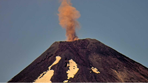
The seismic event was accompanied by an eruptive column with ash emissions 300 m above the level of the crater. After the event, another pulse was recorded with ash emissions of similar characteristics. The monitoring parameters remain at the levels observed in recent days.
The volcanic technical alert is maintained at the Yellow level.
The 2nd event took place at 10:56 a.m. local time (1:56 p.m. UTC), the monitoring stations installed near the Villarrica volcano recorded an earthquake associated with fluid dynamics inside the volcanic system (type LP).
The characteristics of the 2nd event, after its analysis, are as follows:
ORIGINAL TIME: 1:01 p.m. local time (4:01 p.m. UTC)
REDUCED DISPLACEMENT: 15.0 (cm*cm)
The characteristics of this activity are as follows:
MAXIMUM HEIGHT OF THE COLUMN: 300 meters above the point of emission
DIRECTION OF DISPERSION: Northeast (N-E).
OBSERVATIONS :
Source et photos : Sernageomin.
Hawaii , Kilauea :
Monday, February 27, 2023, 8:45 AM HST (Monday, February 27, 2023, 18:45 UTC)
19°25’16 » N 155°17’13 » W,
Summit Elevation 4091 ft (1247 m)
Current Volcano Alert Level: WATCH
Current Aviation Color Code: ORANGE
Activity Summary:
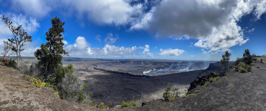
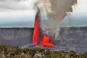
The summit eruption of Kīlauea Volcano, within Halemaʻumaʻu crater, continues to be greatly diminished over the past week. All recent eruptive activity has been confined to the crater. No significant changes have been observed in either rift zone.
Halemaʻumaʻu crater Lava Lake Observations:
Eruption of lava on the Halemaʻumaʻu crater floor continues to be greatly diminished over the past week. The eastern and central vents are not erupting. The western lake in the basin of the 2021–22 lava lake remains active but with weak lava flows. Very little lava is circulating within the lake, which is mostly crusted over with intermittent crustal overturns. The reduction in activity is related to the larger deflationary tilt drop that began in the early morning of February 17. Currently, tilt continues to increase slowly. Surface eruptive activity is expected to resume when the summit re-inflates to the levels observed in the prior week.
Summit Observations:
Over the past week summit tiltmeters showed small scale deflation/inflation cycles but have not returned to the levels seen prior to Feberuary 17th. Volcanic tremor has dropped slightly but remains above background levels. A sulfur dioxide (SO2) emission rate of approximately 2,000 tonnes per day (t/d) was measured on February 13, 2023.
Rift Zone Observations:
No unusual activity has been noted along the East Rift Zone or Southwest Rift Zone; steady rates of ground deformation and seismicity continue along both. Measurements from continuous gas monitoring stations downwind of Puʻuʻōʻō in the middle East Rift Zone have been below detection limits for SO2, indicating that SO2 emissions from Puʻuʻōʻō are negligible.
Source : HVO.
Peru , Sabancaya :
Analysis period: from February 20, 2023 to February 26, 2023, Arequipa, February 27, 2023.
Alert level: ORANGE
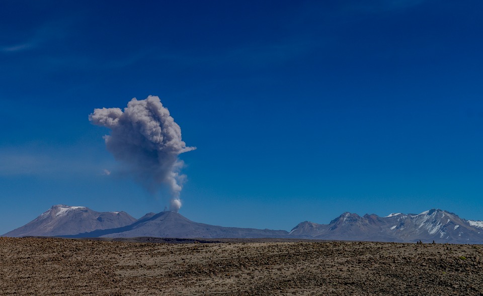
The Geophysical Institute of Peru (IGP) reports that the eruptive activity of the Sabancaya volcano remains at moderate levels, that is to say with the recording of an average of 50 daily explosions, with columns of ash and of gas up to 2.8 km altitude above the summit of the volcano and their subsequent dispersion. Therefore, for the following days, no significant change is expected in eruptive activity.
The IGP recorded and analyzed the occurrence of 460 earthquakes of volcanic origin, associated with the circulation of magmatic fluids inside the Sabancaya volcano. An average of 51 explosions was recorded daily, in addition to recording Volcano-Tectonic (VT) type events associated with rock fracturing inside the Sabancaya volcano.
Monitoring the deformation of the volcanic structure using GNSS techniques (processed with fast orbits) does not show any significant anomalies. Visual surveillance identified columns of gas and ash up to 2.8 km above the summit of the volcano, which were dispersed towards the West, North, South-West, North-West sectors. of the Sabancaya. Satellite recordings have identified the presence of 4 thermal anomalies, with a maximum value of 14 MW, associated with the presence of a lava body on the surface of the volcano’s crater.
RECOMMENDATIONS
• Keep the volcanic alert level orange.
• Do not approach within a radius of less than 12 km from the crater.
Source : Cenvul
Photo :Pixabay
Iceland , Katla :
Yesterday at 14:36 a M3.2 earthquake was detected. The day before yesterday nine earthquakes were detected in Katla Volcano, there of seven occurred around 19:30 in the evening. The largest earthquake was M2.6 and occurred at 19:33. The earthquakes ranged from M1.5 to M2.6. Seismic activity like this is rather common in Katla Volcano and was last detected in the area in December and November 2022, though with larger earthquakes above M3.
Week overview 13 February – 19 February
Around 370 earthquakes were detected last week by IMO SIL seismic network, which is similar to last week when around 400 earthquakes were detected. The largest earthquke of the week on land was M3.5 near Herðubreið north of Vatnajökull Ice-cap. On 14th of November a earthquake swarm was detected about 200 km north of Iceland where 10 earthquakes between M2.3 and 3.6 were measured. Satellite images from the past week show that the ice covering Askja lake has been melting. Normally the ice melts in the summer between June and July, so this melting in February is quite unusual. A similar event was recorded in 2012 when the ice in Askja lake started to melt in March.
Source et photo : IMO.

