June 15 , 2022.
Italie / Sicile , Etna :
WEEKLY BULLETIN, from June 06, 2022 to June 12, 2022, (issue date June 14, 2022)
ACTIVITY STATUS SUMMARY
In the light of the surveillance data, it is highlighted:
1) VOLCANOLOGICAL OBSERVATIONS: Effusive activity with the development of lava flows in the Valle del Bove and sporadic and weak emissions of volcanic ash at the Southeast Crater.
2) SEISMOLOGY: Low seismic activity of fracturing; the amplitude of the volcanic tremor remained mainly at medium-high levels.
3) INFRASOUND: moderate infrasound activity.
4) GROUND DEFORMATIONS: The analysis of the ground deformations shows a weak deflation during the last month. In general, no significant change is observed.
5) GEOCHEMISTRY: SO2 flux at a medium-high level
The flux of CO2 from the ground is at low average values.
The partial pressure of dissolved CO2 in groundwater shows values in seasonal variability.
The latest data refers to the date of 06/01/2022 with high values.
6) SATELLITE OBSERVATIONS: The thermal activity in the summit zone was of a high level in correspondence with the effusive activity in progress in the summit zone.
7) OTHER NOTES: Under current conditions, lava flows remain confined to the Valle del Bove
VOLCANOLOGICAL OBSERVATIONS
The monitoring of Etna’s volcanic activity during the observation period was carried out through the analysis of images from the INGV surveillance camera network, Osservatorio Etneo (INGV-OE) and through various site inspections carried out by INGV staff. -OE.
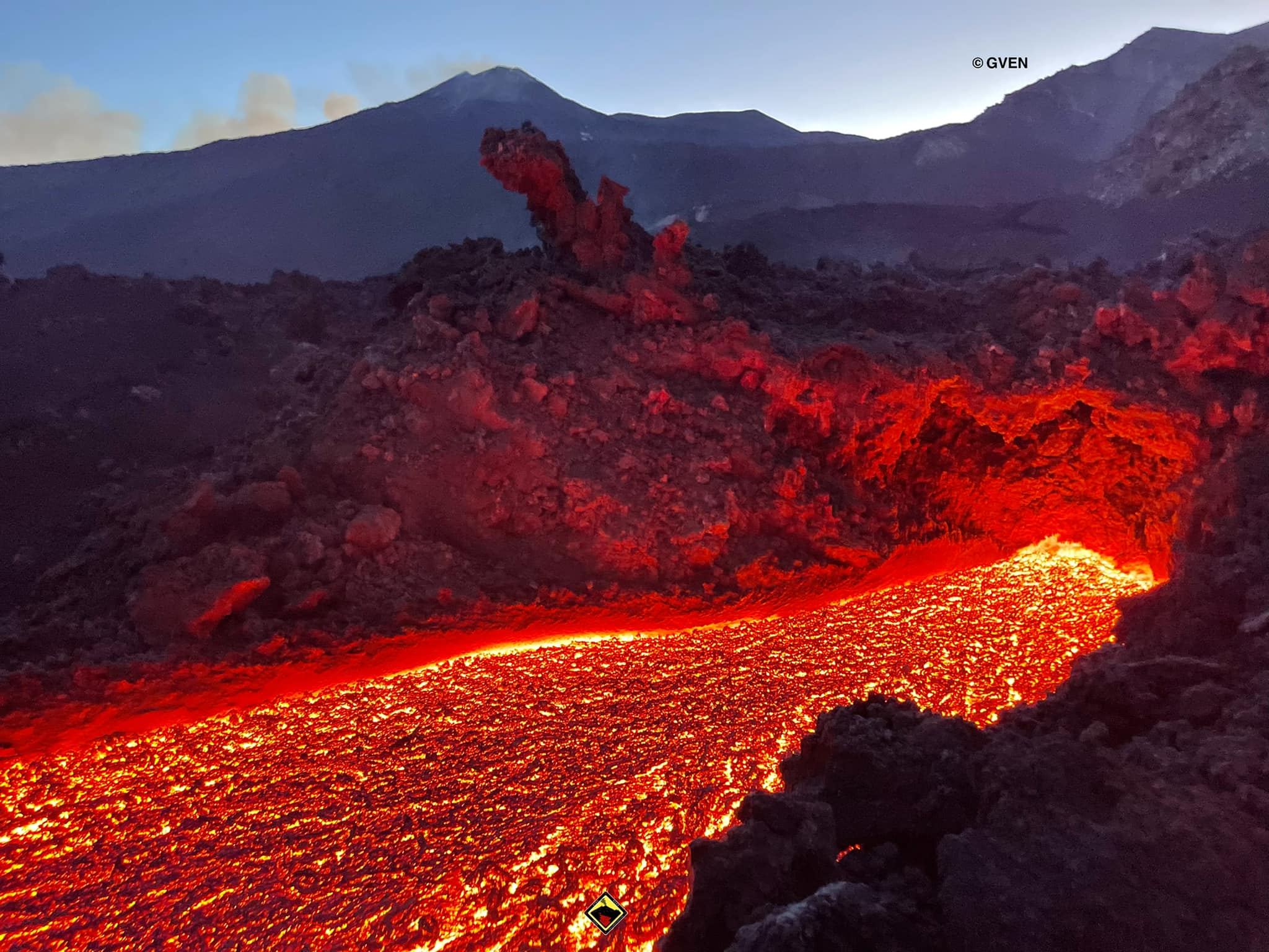
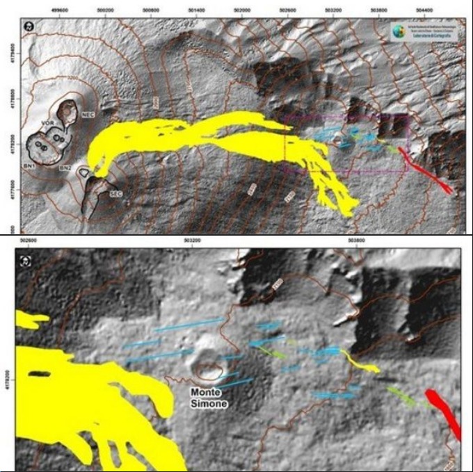
During the week, the effusive activity produced by the eruptive fissure opened on May 29, between 2900 and 2700 m above sea level, in the upper part of the Valle del Bove continued. Additionally, new lava fields developed in the Valle del Bove during the week. Figure 3.1 shows the map of the flow and that of the fractures produced with the joint analysis of satellite images (Sentinel 11 and 13 June, Planescope of 11 June), drones and those of the INGV-OE video surveillance cameras.
Further analyzes will be performed to better characterize the fracture field. The map of active flows is preliminary due to the cloud cover which hindered visibility.
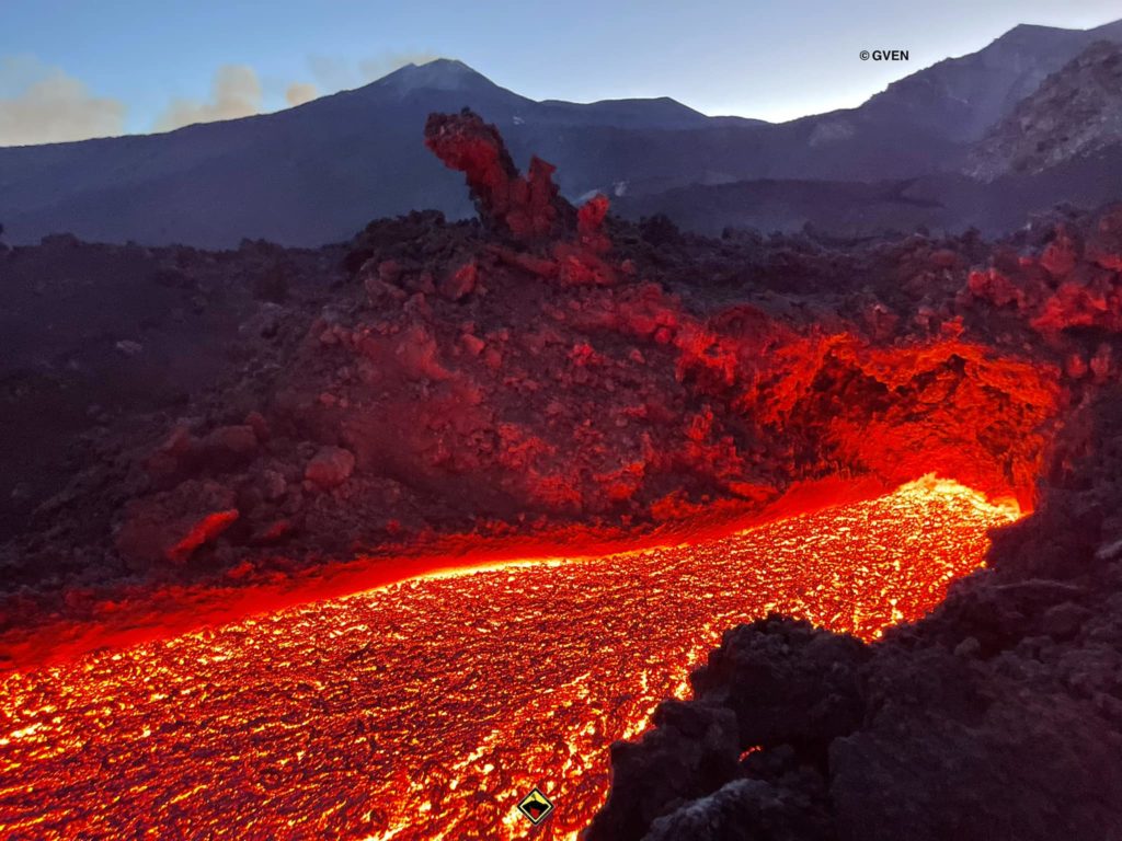
The effusive activity produced by the eruptive fissure opened on May 29, between 2900 and 2700 m altitude continues. Analysis of images from INGV-OE CCTV cameras and various inspections carried out by INGV-OE personnel showed that the active lava fronts were located at an altitude between 2000 m and 2100 m. During the week, the flow visibly cooled. In particular, on June 12, INGV-OE personnel observed that only the effusive vent located at approximately 2700 m a.s.l. was active.
At the end of the afternoon of June 7, 2022, a new fracture opened at the base of the North wall of the Valle del Bove, in the Serracozzo area. The inspections carried out by the INGV-OE agents on June 7 and 8 made it possible to assess that the emission point is located at an altitude of 1979 m. Upon inspection on June 8, the flow was found to be poorly fed and largely cooled, reaching a maximum length of approximately 170 m. The lava front was located at an altitude of approximately 1938 m. This area was also observed to be characterized by a large fracture field, also present about 100 m downstream of the effusive vent. On Saturday June 11, the opening of a new effusive vent took place at an altitude of approximately 1900 m. The flow emitted was poorly fed and the lava flow extended over a few tens of meters. An inspection by INGV-OE staff on Sunday June 12 revealed that three effusive vents were active, the most advanced front of which had reached approximately 1750 m a.s.l.
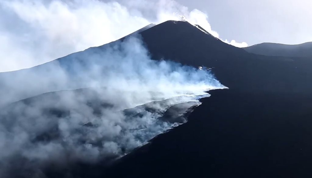
Explosive activity at the Southeast Crater also continued, producing sporadic and light ash emissions that quickly dispersed into the atmosphere. The Bocca Nuova crater and the Northeast crater did not show any specific changes compared to the activity observed in recent months with variable intra-crater degassing, while no degassing activity was observed at the Voragine crater.
Source : INGV .
Photos : Guide Vulcanologiche Etna Nord , INGV , Ennio Zappalà .
Indonesia , Anak Krakatau :
VOLCANO OBSERVATORY NOTICE FOR AVIATION – VONA
Issued : June 14 , 2022
Volcano : Anak Krakatau (262000)
Current Aviation Colour Code : ORANGE
Previous Aviation Colour Code : orange
Source : Anak Krakatau Volcano Observatory
Notice Number : 2022KRA47
Volcano Location : S 06 deg 06 min 07 sec E 105 deg 25 min 23 sec
Area : Lampung, Indonesia
Summit Elevation : 502 FT (157 M)
Volcanic Activity Summary :
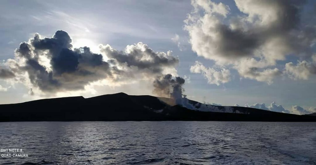
Eruption with ash clouds at 23:37 UTC (06:37 local time). The eruption lasted for 76 seconds.
Volcanic Cloud Height :
Best estimate of ash-cloud top is around 2102 FT (657 M) above sea level, may be higher than what can be observed clearly. Source of height data: ground observer.
Other Volcanic Cloud Information :
Visuals directly from the cctv were observed eruptions with the color of the thick grey-black eruption smoke 500m from the top of the volcano, the wind direction slowly to the north.
Remarks :
Eruption recorded on seismogram with maximum amplitude 58 mm and maximum duration 76 second.
Source : Magma Indonésie.
Photo : krakatau_ca_cal
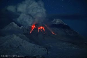
Italy , Stromboli :
WEEKLY BULLETIN, from June 06, 2022 to June 12, 2022, (issue date June 14, 2022)
ACTIVITY STATUS SUMMARY
In the light of the surveillance data, it is highlighted:
1) VOLCANOLOGICAL OBSERVATIONS: In this period a normal explosive activity of Strombolian type was observed. The total hourly frequency of explosions fluctuated between low values (1 event/h) and medium-low values (8 events/h). The intensity of the explosions was low and medium in the area of the North crater and low in the area of the Center-South crater.
2) SEISMOLOGY: The seismological parameters monitored do not show any significant variations.
3) GROUND DEFORMATIONS: The island’s ground deformation monitoring networks showed no significant changes during the week.
4) GEOCHEMISTRY: SO2 flux at an average level
C/S ratio in the plume on average values (C/S = 7.71).
Flux of CO2 on the floor of the crater (Pizzo) on average values (about 7000 g/m2*g).
Isotope ratio of helium dissolved in the thermal water table at high values (last sample taken on 05/30/2022, R/Ra 4.37).
5) SATELLITE OBSERVATIONS: The thermal activity observed by satellite in the summit area was at a low level.
VOLCANOLOGICAL OBSERVATIONS
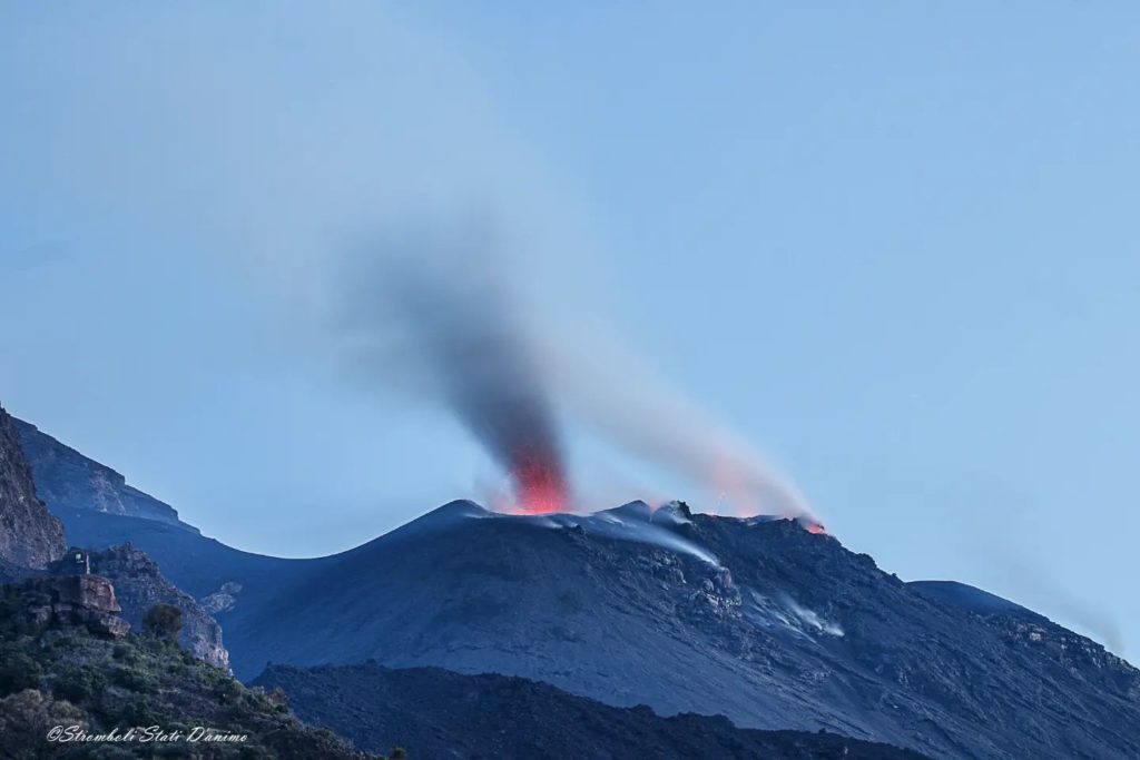
During the observation period, the eruptive activity of Stromboli was characterized through the analysis of images recorded by the INGV-OE surveillance cameras (altitude 190m, Punta Corvi, altitude 400m and Pizzo). The explosive activity was mainly produced by 4 (four) eruptive vents located in the North crater area and 2 (two) eruptive vents located in the Center-South crater area. All the mouths are placed inside the depression which occupies the terrace of the crater.
Due to unfavorable weather conditions, visibility from the crater terrace was insufficient on June 10 for a proper description of eruptive activity.
Observations of explosive activity captured by surveillance cameras.
Sector N1 located in the area of the North crater produced explosions of low intensity (less than 80 m high) to medium (less than 150 m high) emitting fine material (ash) sometimes mixed with coarse material (lapilli and bombs). Sector N2, with three emission points, showed continuous impulsive degassing accompanied occasionally by weak spattering activity. The average frequency of explosions varied between 1 and 4 events/h.
In the Center-South zone, sectors C and S1 did not show significant explosive activity. Sector S2, with two emission points, showed explosions of mostly low intensity (less than 80 m in height) and sometimes medium (less than 150 m) emitting mostly coarse materials. The frequency of the explosions varied from absence to 5 events/h.
Source : INGV .
Photos : Stromboli stati d’animo.
Hawaii , Kilauea :
19°25’16 » N 155°17’13 » W,
Summit Elevation 4091 ft (1247 m)
Current Volcano Alert Level: WATCH
Current Aviation Color Code: ORANGE
Activity Summary:
The summit eruption of Kīlauea Volcano, within Halemaʻumaʻu crater, continued over the past 24 hours. All recent lava activity has been confined to the crater, and current data indicate that this scenario is likely to continue. No significant changes have been noted at summit or in the East Rift Zone.
Halemaʻumaʻu crater Lava Lake Observations:
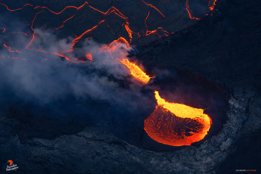
Eruption of lava from the Halemaʻumaʻu crater western vent into the active lava lake and ooze-outs onto the crater floor have continued over the past 24 hours. The active lava lake has shown continuous surface activity with lava lake levels stable over the last 24 hours, remaining below overflow. Lava ooze-out activity has continued along the northern and southwestern edges of the crater floor. Overflight measurements on May 10, 2022 indicated that the crater floor had seen a total rise of about 106 meters (348 feet) .
Summit Observations:
Summit tiltmeters recorded deflation over the past 24 hours. A sulfur dioxide (SO2) emission rate of approximately 1,350 tonnes per day (t/d) was measured on June 10, 2022.
Source : HVO
Photo : Bruce Omori / Paradise Helicopters.( Archive).
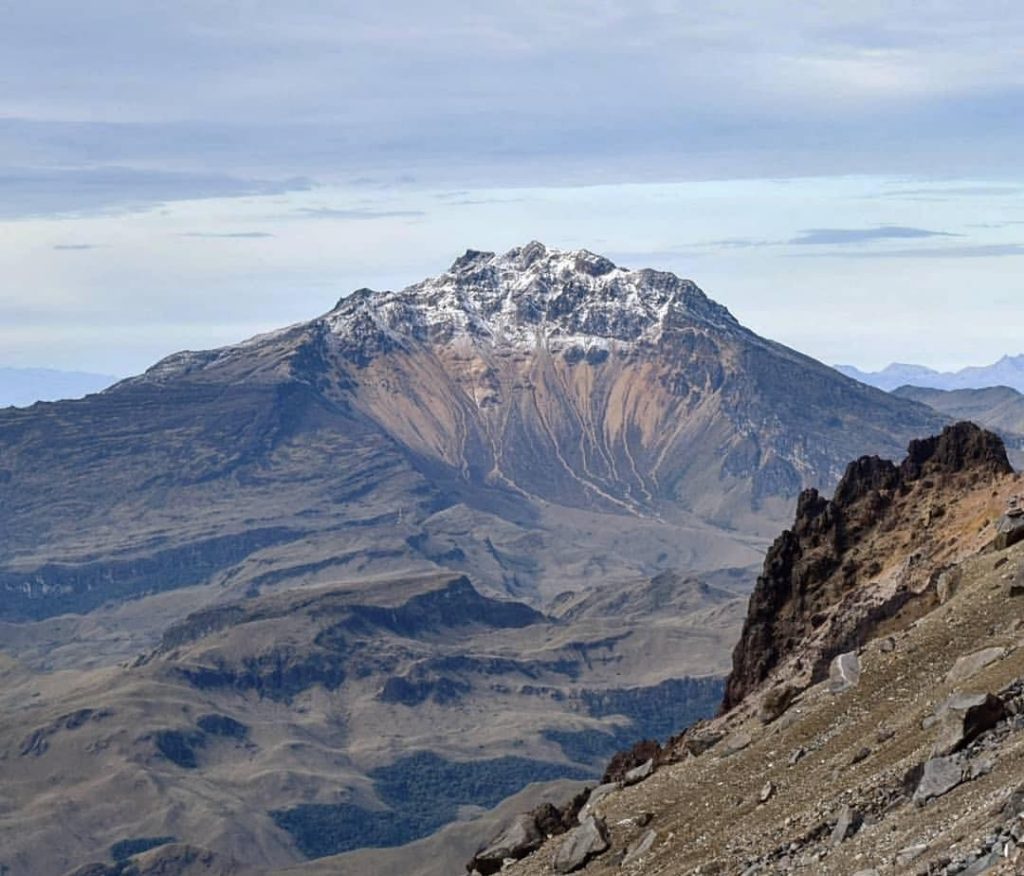
Ecuador , Chiles / Cerro Negro :
Seismic activity in the region of the Chiles – Cerro Negro volcanic complex and in the Potrerillos region.
The Chiles – Cerro Negro Volcanic Complex (CVCCN) and the Potrerillos region, on the border with Colombia, currently have moderate seismic activity. The joint monitoring of the instrumental networks of the Volcanological and Seismological Observatory of Pasto (OVSP) and the Geophysical Institute (IG-EPN), as well as the field campaigns carried out by the two institutions, have enabled the monitoring and characterization of this seismicity during this period and previous years as detailed below.
Seismicity
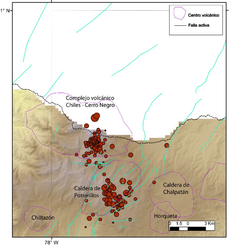
The earthquakes felt in the border area with Colombia, between the morning of Sunday June 12 and today, June 14, have epicenters located about 9 km southeast of the Chiles-Cerro Negro volcanic complex (CVCCN ) (Figure 1).
Graph 1. Map with earthquakes located in the border area with Colombia, from June 12 at 02:05 (TL) until today June 14 at 08:32 (260 events). The epicentres are concentrated in two areas: in the south of the Chiles–Cerro Negro volcanic complex and in the Potrerillos region. The larger magnitude earthquakes are located in the latter sector.
This area, which corresponds to the Potrerillos area (El Ángel seismic source), has had intermittent seismic activity since 2014. This activity, at times, has been in close temporal relationship with the seismicity in the CVCCN, occurring in response to increases seismicity in the volcanic complex or preceding them. The interrelation between these two sources had already been reported in the annual seismic reports for the years 2018 and 2019.
Deformation , Displacement observed with cGPS measurements
This seismic activity was also characterized by an inflation pattern, observed since the start of geodetic monitoring with the installation of the CHLS base in 2014. Figure 2 presents the data series corresponding to the displacement recorded in a vertical direction by the base of the CHLS between June 2016 and June 2022. There is an upward trend (inflation) since its inception, until it stabilizes at the end of 2020. A more stable trend is observed between 2021 and 2022. However, from March 2022, the geodetic bases of the volcanic complex again show a change in their trend, again showing displacements in a vertical direction.
Conclusions
• Since 2014, there have been a large number of earthquakes in the region, many of which were felt. This includes the earthquake of October 20 of the same year which reached a magnitude of 5.7 Mlv which, although it was a relatively large earthquake, did not cause significant damage. Over the next few years there were a few earthquakes, some with magnitudes greater than 3 and which were clearly felt by the residents of the area. Given the complex interaction between the CVCCN and tectonic faults (such as the El Angel fault system), the occurrence of events of significant magnitude is very likely. Be able to record the two main earthquake sequences with aftershocks or seismic swarms (earthquakes of similar magnitudes over short periods of time). The epicenters of these earthquakes could occur both in the CVCCN and in the Caldera de Potrerillos with magnitudes similar to those already observed so far.
• Geodesy data records vertical offsets that match an inflation pattern. This inflation is observed after having presented a relative stability for a little more than 2 years. The observed deformation could show an alteration of the volcanic system.
• Data collected at the surface show no signs of an imminent or short-term eruption. It is known that there is a correlation between the high rate of seismicity in the region and the changes observed in its surface hydrothermal manifestations. Either way, such changes in gaseous emissions or high water temperatures are a potential hazard. Therefore, people are recommended to stay away from water and gas surges, such as Aguas Hediondas, Lagunas Verdes, El Hondón and Aguas Negras. In an extreme case, phreatic explosions of low or moderate magnitude could even occur in areas of hydrothermal manifestations.
• Finally, until the publication of this report, earthquakes continue to be recorded in the cvccn zone. The increase in earthquakes classifies the activity as moderate with an upward trend.
Source : IGEPN.
Read the full article : https://www.igepn.edu.ec/servicios/noticias/1940-informe-especial-complejo-volcanico-chiles-cerro-negro-no-2022-002
Photo : Travelgrafía

