May 11 , 2020.
Ecuador , Reventador :
DAILY REPORT OF THE STATE OF THE VOLCANO REVENTADOR, Sunday May 10, 2020.
Information Geophysical Institute – EPN.
Surface activity level: High, Surface trend: No change.
Internal activity level: High, Internal trend: No change.
Seismicity: From May 09, 2020, 11:00 a.m. to May 10, 2020, 11:00 a.m.:
Long Period Type (LP): 13 events
Explosions (EXP): 17 events
Emission limits: (TE): 2.
Harmonic tremors: (TA): 3.
Rains / lahars: Not recorded.
Emission / ash column: Several emissions of gas and ash were observed which did not exceed 900 meters above the level of the crater, dispersing in a western direction.
Other monitoring parameters: no change.
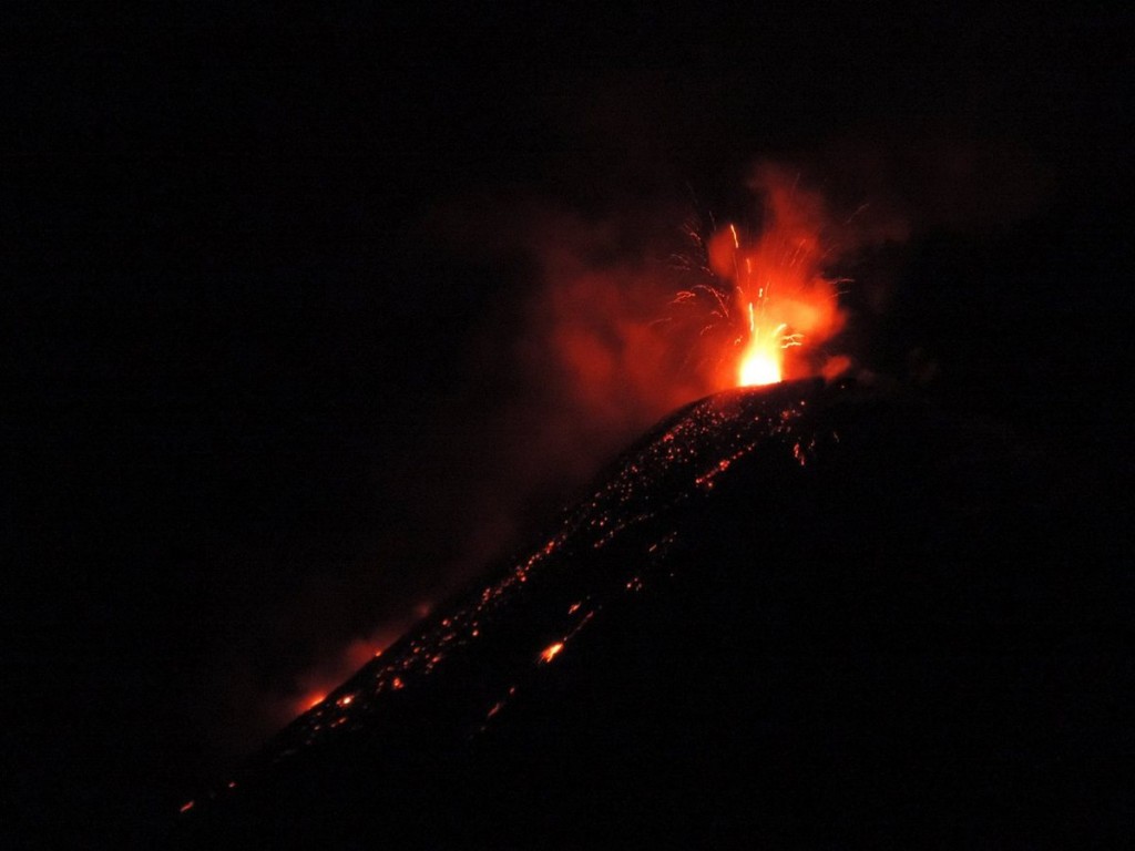
Observations: Most of the time, the last 24 hours have been clear, an incandescence was observed in the crater at night accompanied by a roll of blocks on the flanks of the volcano up to 600 meters below the level of the crater.
Alert level: Orange.
Source : IGEPN.
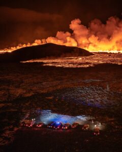
Photo : Hosteria.
Indonesia , Ibu :
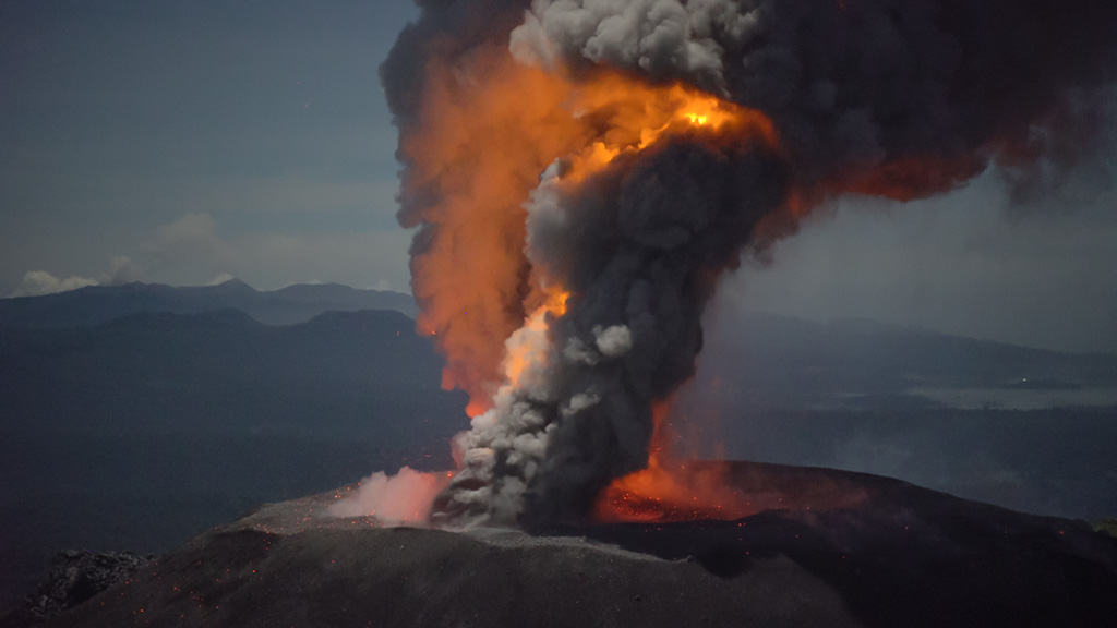
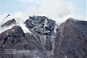
Level of activity at level II (WASPADA). The Ibu volcano (1340 m above sea level) has experienced continuous eruptions since 2008. The eruptions have produced rocks and ash which have accumulated inside the crater.
The volcano is clearly visible until it is covered with fog. The smoke from the crater is observed white / gray in color with moderate / high intensity at around 200-600 meters above the summit. The weather is sunny to rainy, the winds are light to moderate to the North and East.
According to seismographs, on May 10, 2020, it was recorded:
92 explosion / eruption earthquakes
16 avalanche earthquakes.
38 emission earthquakes.
7 harmonic earthquakes
2 distant tectonic earthquakes
Recommendation:
The communities around G. Ibu and visitors / tourists must not be active within a radius of 2 km, with a sectoral expansion of 3.5 km until the opening of the crater in the northern part of the active crater of G Ibu.
In the event of ash rain, people active outside the house are advised to protect their noses, mouths (masks) and eyes (glasses).
VONA: The last VONA message sent had the color code ORANGE, published on May 4, 2020, at 10:22 a.m. Volcanic ash was observed at an altitude of 2125 m above sea level or about 800 m above the summit.
Source : PVMBG.
Photo : Courtoisie de Martin Rietze .
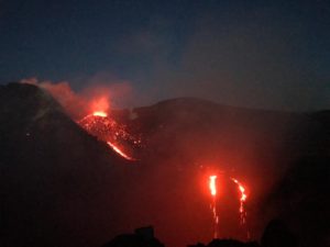
Italy / Sicily , Etna :
ETNA PRESS RELEASE [UPDATE n. 46]
The National Institute of Geophysics and Volcanology, Etneo Observatory, reports that the monitoring networks recorded Strombolian activity at 03:27 (01:27 UTC). As for the amplitude of the volcanic tremor, it showed a sudden increase from 23:30 UTC on May 9, reaching its maximum value around 00:30 UTC on May 10, and reaching high values. The location of the source of the tremor is located near the area of the New Southeast Crater, at a depth of about 2800-3000 meters above mean sea level. With regard to infrasonic activity , the events are mainly located in the Northeast Crater area and, to a lesser extent, near the New Southeast Crater.
From 00.05 GMT, there is an increase in eruptive activity in the upper craters. In particular, continuous Strombolian activity is observed in the New Southeast Crater, with the launch of eruptive products beyond the edge of the crater. Some falling blocks accumulate partly on the edge of the crater, others roll along the slopes. In parallel with the eruptive activity of the New Southeast Crater, an increase in eruptive activity in the Voragine crater is also observed, with the launch of ballistic projections beyond the edge of the crater.
ETNA PRESS RELEASE [UPDATE n. 47]
The National Institute of Geophysics and Volcanology, Osservatorio Etneo, communicates on the strombolian activity of Etna. Compared to the update of May 10, 2020 (update # 46), with respect to the amplitude of the volcanic tremor, it showed a sudden drop, returning to average values around 02:20 UTC on May 10.
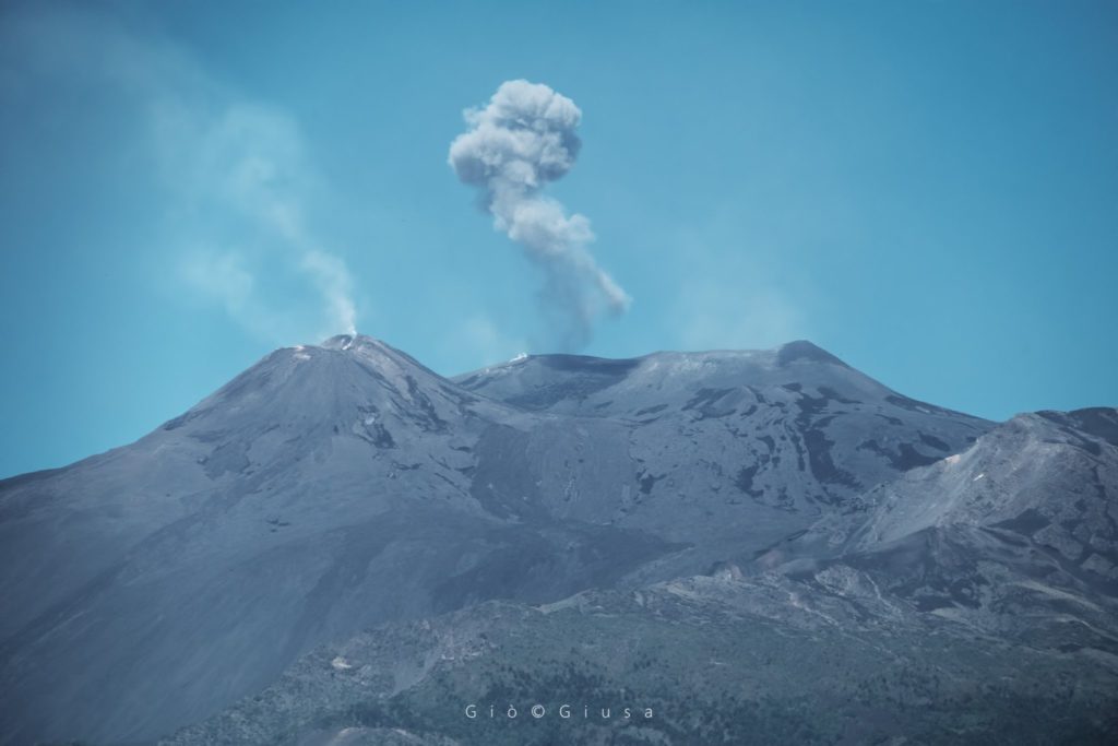
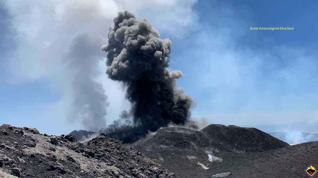
The location of the source of the tremor is located near the area of the New Southeast Crater, at a depth of about 2800-3000 meters above mean sea level. With regard to infrasound activity, the events are mainly in the Northeast Crater area and, to a lesser extent, near the Voragine crater and the Southeast crater. Around 4 a.m., there is a significant decrease in Strombolian activity in the New Southeast Crater, where strong degassing persists. An explosive activity with less intensity and frequency than the previous hours persists in the crater of Voragine.
Source : INGV.
Photos : Gio Giusa , Guide Vulcanologiche Etna Nord.
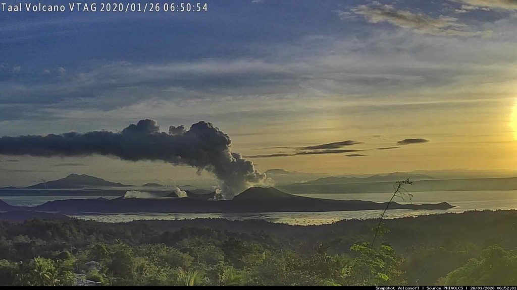
Philippines , Taal :
TAAL VOLCANO BULLETIN 11 May 2020 08:00 A.M.
In the past 24-hour period, the Taal Volcano Network recorded nine (9) volcanic earthquakes that are associated mainly with rock-fracturing processes beneath and around the edifice.
Alert Level 1 (Abnormal) is maintained over Taal Volcano. DOST-PHIVOLCS reminds the public that at Alert Level 1, sudden steam-driven or phreatic explosions, volcanic earthquakes, minor ashfall and lethal accumulations or expulsions of volcanic gas can occur and threaten areas within the Taal Volcano Island (TVI). DOST-PHIVOLCS strongly recommends that entry into TVI, Taal’s Permanent Danger Zone or PDZ, especially the vicinities of the Main Crater and the Daang Kastila fissure, must remain strictly prohibited. Local government units are advised to continuously assess previously evacuated barangays around Taal Lake for damages and road accessibilities and to strengthen preparedness, contingency and communication measures in case of renewed unrest. People are also advised to observe precautions due to ground displacement across fissures, possible ashfall and minor earthquakes. Civil aviation authorities must advise pilots to avoid flying close to the volcano as airborne ash and ballistic fragments from sudden explosions and wind-remobilized ash may pose hazards to aircraft.
DOST-PHIVOLCS is closely monitoring Taal Volcano’s activity and any new significant development will be immediately communicated to all stakeholders.
Source : Phivolcs .
Photo : Archive Webcam.

