May 10 , 2019.
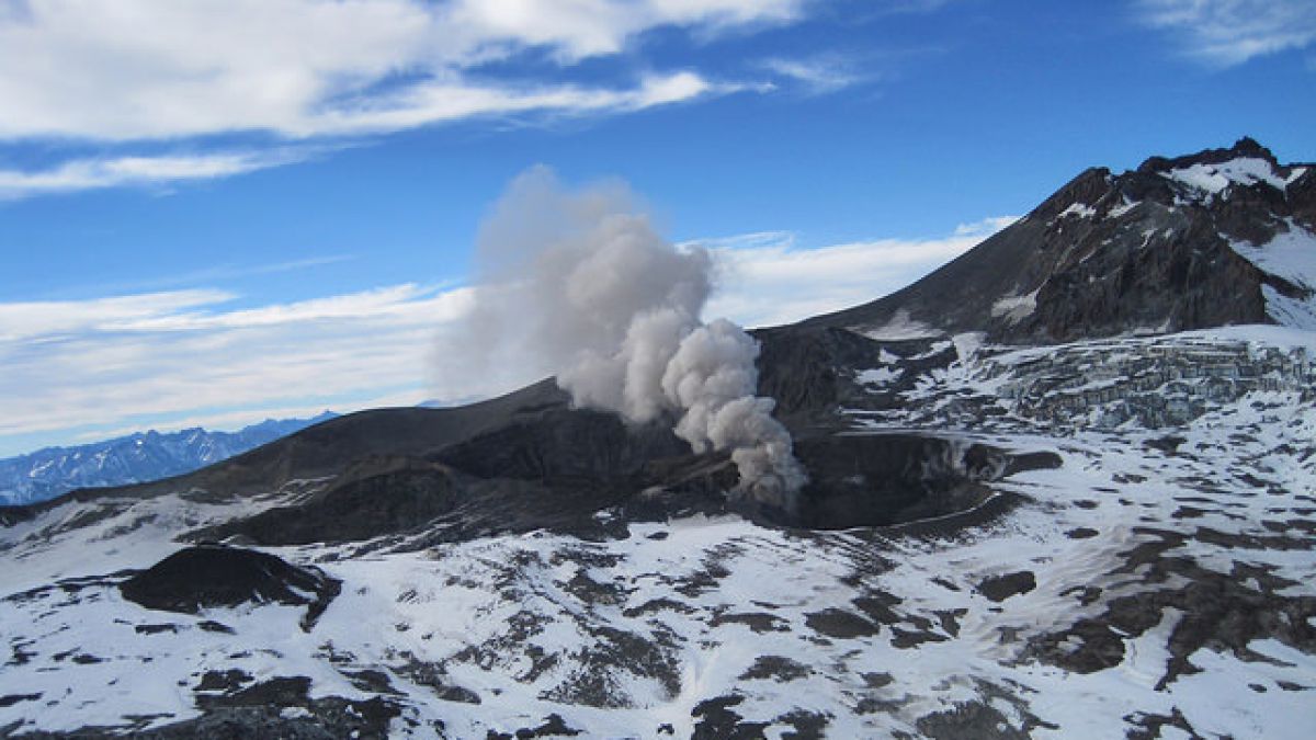
Chile, Planchon Peteroa :
During this period, 31 seismic events were recorded that were classified as volcano-tectonic (VT) types associated with rock fracturing processes. The larger event had a local magnitude of M 2.4, located 1.0 km north-northwest of the active crater and at a depth of 3.0 km.
In addition, 623 long-lived (LP) earthquakes related to fluid dynamics within the volcanic system were recorded. The largest of them had a reduced displacement value (DRC) of 61.9 cm2, and was located 1.7 km south-southeast of the emission center at a depth of 3.6 km.
The tremor seismic signal maintains a continuous shape with minimal fluctuations, maintaining its highest potential around 0.5 to 4 Hz, with a dominant dominant value of 3.7 Hz. The reduced displacement values (DRc) are less than 1.0 cm 2.
The images provided by the IP camera show constant degassing throughout the evaluated period. The predominant white coloration suggests a high concentration of water vapor. On April 28 and 29, emissions were observed with a high influx of particulate matter dispersing mainly to the southeast reaching heights of 600 m above the active crater.
Through analysis of samples obtained from particulate matter emissions deposited in the vicinity of the volcanic complex, approximately 5% of juvenile material is observed, which has not been observed since January 2019. Changes in the color of the emissions are noted as well as the presence of particulate materials as a result of the interaction with the hydrothermal system and variations in the size of the emission center.
From the data obtained by three (3) GNSS stations, which measure the deformation in the volcanic complex, we observe that the control line that crosses the volcano from north to south has shown stability for this period. Deformation values show slight changes, indicating a period of stability of the volcanic system.
During this period was carried out in the vicinity of the volcano a campaign to measure emissions of sulfur dioxide (SO2) using an infrared camera. The results show SO2 flux values between 320 +/- 25 t / d and 634 +/- 131 t / d on 03 and 5 April. These values fall within the usual parameters of the activity of the volcanic complex.
There are reports of thermal warnings that have been reported in the area associated with the volcanic complex, according to data published by Middle Observation InfraRed of Volcanic Activity (Mirova) on its website (http://www.mirovaweb.it/).
Monitoring parameters suggest a stability of volcanic activity occurring at the surface despite emissions of fine particulate materials. In spite of all the characteristics of a eruption of phreatomatic character is maintained. The analyzes performed on the collected materials show the presence of juvenile material, which suggests the presence of a magmatic body that comes into contact with the hydrothermal system, which facilitates the fractionation of magma particles. In this scenario, we can not rule out the generation of new events of higher intensity.
As a result, the volcanic alert is maintained at the level:
YELLOW LEVEL: Changes in the behavior of volcanic activity – Probable time for an eruption: WEEKS / MONTH.
Observations: The current area of assignment is considered to be within 1,000 meters of the area of active craters.
Source : Sernageomin
Photos : sernageomin ( 02/2019 , 12/2017 )
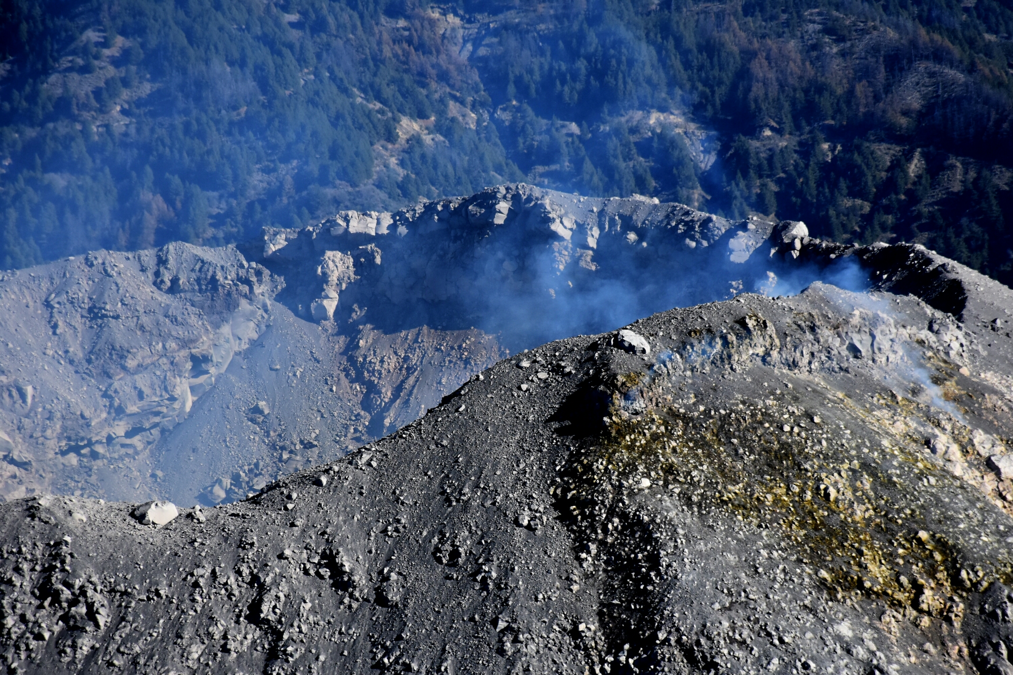
Philippines , Taal :
TAAL VOLCANO BULLETIN 10 May 2019 8:00 A.M.
Taal Volcano’s seismic monitoring network recorded nineteen (19) volcanic earthquakes during the 24-hour observation period. Field measurements on 09 May 2019 at the eastern sector of the Main Crater Lake yielded an increase in water temperature from 31.9°C to 32.3°C, a decrease in water level from 0.22 meter to 0.20 meter and increase in pH from 2.63 to 2.84. Ground deformation measurements through precise leveling surveys from 18 – 27 March 2019 indicated slight inflation of the edifice consistent with recent results from continuous GPS data.

Alert Level 1 remains in effect over Taal Volcano. This means that hazardous eruption is not imminent. The public, however, is reminded that the Main Crater should be strictly off-limits because sudden steam explosions may occur and high concentrations of toxic gases may accumulate. The northern portion of the Main Crater rim, in the vicinity of Daang Kastila Trail, may also become hazardous when steam emission along existing fissures suddenly increases. Furthermore, the public is also reminded that the entire Volcano Island is a Permanent Danger Zone (PDZ), and permanent settlement in the island is strongly not recommended.
Source : Phivolcs
Photo : destination philippines.
Democratic Republic of Congo , Nyamuragira :
1.408°S, 29.2°E
Elevation 3058 m
The Observatoire Volcanologique de Goma (OVG) reported that during early April Nyamuragira’s lava lake, which had returned in April 2018 after almost a year of quiet, continued to be active. Beginning on 12 April seismic and lava-lake activity both declined. MIROVA data showed that the thermal radiative power was at moderate levels the first half of the month then declined to low levels during the second half.
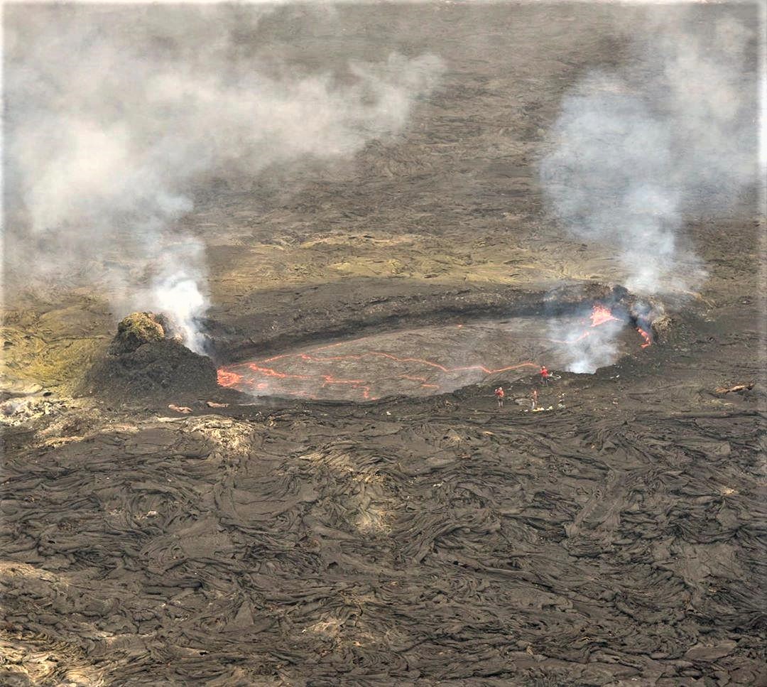
Africa’s most active volcano, Nyamuragira, is a massive high-potassium basaltic shield about 25 km N of Lake Kivu. Also known as Nyamulagira, it has generated extensive lava flows that cover 1500 km2 of the western branch of the East African Rift. The broad low-angle shield volcano contrasts dramatically with the adjacent steep-sided Nyiragongo to the SW. The summit is truncated by a small 2 x 2.3 km caldera that has walls up to about 100 m high. Historical eruptions have occurred within the summit caldera, as well as from the numerous fissures and cinder cones on the flanks. A lava lake in the summit crater, active since at least 1921, drained in 1938, at the time of a major flank eruption. Historical lava flows extend down the flanks more than 30 km from the summit, reaching as far as Lake Kivu.
This volcano is located within the Virunga National Park, a UNESCO World Heritage property.
Source: Volcanological Observatory of Goma (OVG), GVP.
Photo : dutytravel_library via Sherine France .
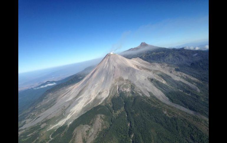
Mexico , Fuego de Colima :
Weekly technical bulletin of the Colima Volcano activity
Date: May 10, 2019 , Bulletin No. 120
Seismic activity:
Last week, 125 high-frequency (HF) events, 6 long-period (LP) events, 7 landslides and 12.9 min of low-amplitude tremors were automatically recorded. The largest events have been located, many of them have depths between 3,700 and 500 meters and are located in the northern and northeastern parts of the volcanic edifice. Their magnitudes are between 2.7 and 2.9 Mc.
Visual observations:
During the period under review, it was possible to observe steam and gas emissions only in the eastern part of the crater. The fixed thermal camera did not record any anomalies related to possible changes in external volcanic activity. North side fumarole temperatures were also measured from Nevado with a portable thermal imaging camera on May 3rd and 4th. Levels very similar to the last measurements made in February (maximum 46 ° C) were recorded.
An overview was made on May 1st. Comparing the images with the last flight of 26 April, no difference in crater morphology can be distinguished. Degassing in the bottom of the crater reduced its intensity and lower temperatures (168 ° C) were measured using a portable infrared camera. Similar to the observations of recent months, the most intense and warm fumaroles are on the east wall of the crater. The temperatures were also lower than during the last flight (differences between 30 and 80 ° C, apparent temperature).
Geochemistry:
SO2 flow measurements were made on May 3rd and 4th. The data was below the detection level of the instrument (~ 0.1 kg / s). Boron concentrations in the four sources sampled decreased in March after several months with moderately elevated concentrations. The variations reflect system changes related to the interaction between magma and aquifer degassing.
Remote perception:
No thermal anomalies detected by the MIROVA satellite system were observed during the last week.
Diagnostic :
Last week, the volcano continued with moderate internal seismic activity, without this resulting in an increase in surface volcanic activity. This had been observed in previous years before explosions and / or the growth of a new dome. The staff in charge of monitoring the volcano is attentive to possible changes and to the evolution of the activity.
Source : ucol.mx
Photos : Protección Civil Jalisco Avril 2019.