May 02 , 2019.
Costa Rica , Turrialba / Poas / Rincon de la Vieja :
Daily report on the state of volcanoes. Date: 01 May 2019, Updated at: 11:07:00.
Turrialba Volcano:
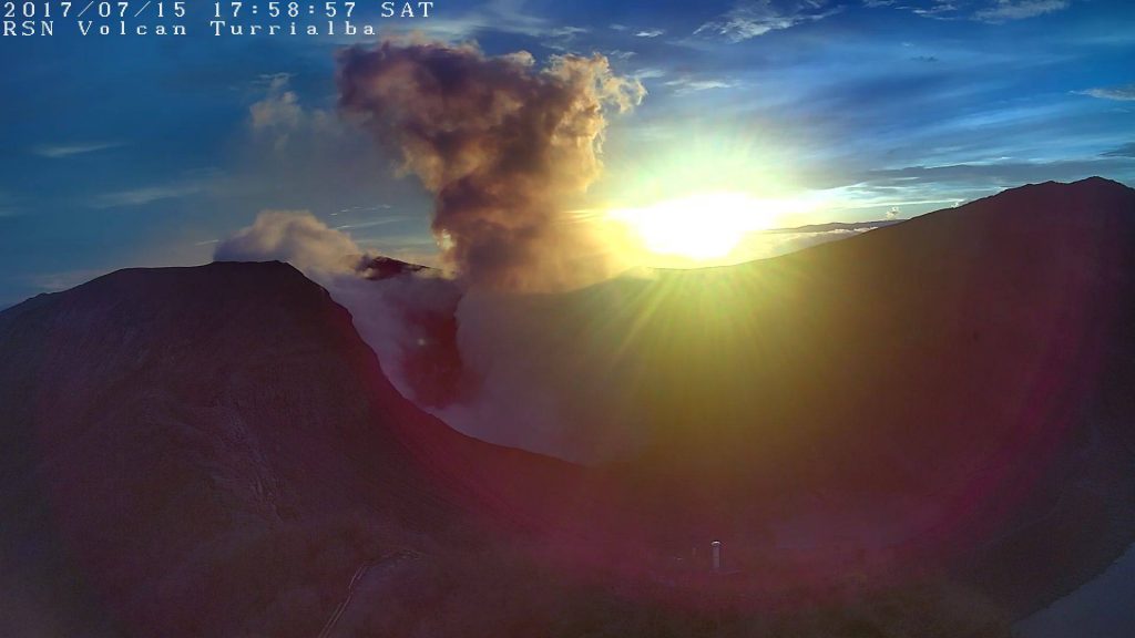
No eruption is reported.
The seismic activity is similar to that of yesterday.
At the time of writing, winds are blowing from the southwest.
The CO2 / SO2 ratio is decreasing.
Poas Volcano:
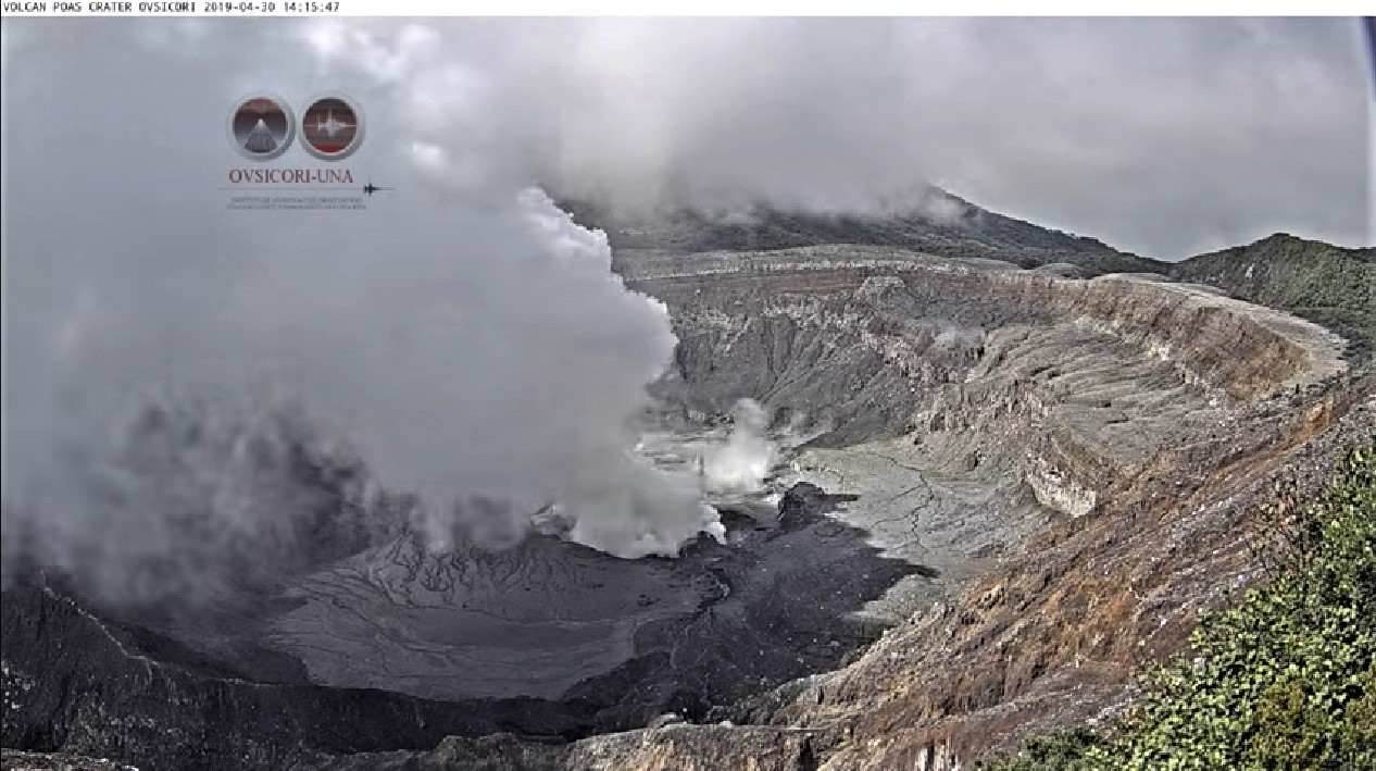
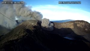
Since April 30, 2019, there has been a continuous eruption on the Poas volcano, with a column rising 300 meters above crater height and 3008 (meters above sea level, 9866.24 ft ).
The seismic activity is similar to that of yesterday.
At the time of writing, winds are blowing from the southwest.
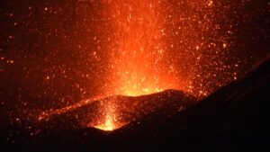
An emission of ashes was observed a few hours in the afternoon yesterday. Incandescence was visible at night. The cloud did not allow to estimate the duration. It is also not known if this continues or stopped. The CO2 / SO2 ratio is a measure that breaks with the increase observed in recent days, it is not known for now whether this corresponds to a change in trend. The H2S / SO2 ratio experienced a very low value peak and returned to similar values in the previous days.
Rincon de la Vieja Volcano:
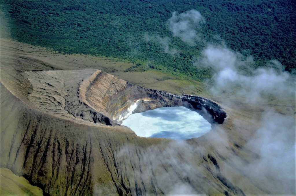
No eruption is reported.
The seismic activity is more important compared to the day yesterday.
The wind direction is unknown at the moment.
The sequence of short tremors stopped around 3 o’clock in the morning. At 8:30, a tremor came back but continued with great amplitude. After one hour, the amplitude decreased but the continuous tremor persists at the time of this report.
Source : Ovsicori .
Photos : Archives RSN , Ovsicori , Federico Chavarría-Kopper / Ovsicori .
Indonesia , Ibu :
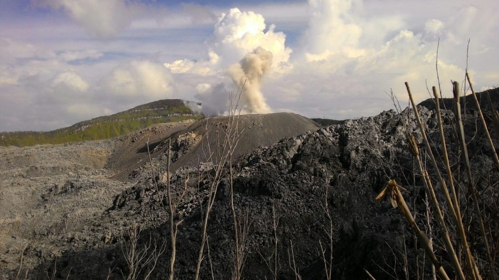
Level of activity at Level II (WASPADA). G. Ibu (1340 m altitude) has been continuously erupting since 2008.
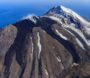
Since yesterday and until this morning, the vision of the volcanic peak was clear until it was covered with fog. It was observed that the smoke from the main crater was white to gray with a low intensity, rising up to 200 to 800 meters above the peak.
The seismographs, on May 1, 2019, recorded:
102 earthquakes of eruption
16 avalanche earthquakes
66 earthquake emission
78 harmonic tremors
3 Tornillo earthquakes
1 distant tectonic earthquake.
Recommendation:
Communities around G. Ibu and visitors / tourists should not climb and approach the crater within 2 km with sectoral expansion of 3.5 km to openings in the northern part of the active crater of G. Ibu.
VONA:
The last VONA code sent had an ORANGE color code, published on February 6, 2019 at 7:02 pm, and concerned an eruption with a column height of ashes around 1925 m above sea level or about 600 m above the sea level. Mountain peak. The column of ashes was moving south.
Source : PVMBG.
Photo : J Massolo.
Colombia , Nevado del Ruiz :
Weekly activity bulletin of the Nevado del Ruiz volcano:
The level of activity continues at the level: Yellow activity level or (III): Modifications of the behavior of the volcanic activity.
With regard to monitoring the activity of the Nevado del Ruiz volcano, the COLOMBIAN GEOLOGICAL SERVICE announces that:
The Nevado del Ruiz volcano over the past week continued to exhibit unstable behavior. Seismicity was mainly related to fluid dynamics within volcanic canals. Constant recordings of continuous low-energy volcanic tremors, the occurrence of low-frequency (LF) and ultra-low frequency (VLF) earthquakes and volcanic tremor pulsations, with varying energy levels, are set in evidence. The earthquakes were mainly located in the crater Arenas and its surroundings. Some of these signals were associated with gas and ash emissions.
With respect to volcano-tectonic activity, which is associated with rock fracturing near the volcano, it showed a slight decrease in the number of earthquakes and released seismic energy compared to the previous week. The earthquakes were located mainly in the northeast and in the Arenas crater, and to a lesser extent in the south-east, southwest and north of the volcano, at depths between 0.3 and 7.1 km. The maximum magnitude recorded during the week was 0.9 ML (local magnitude), corresponding to the earthquake on April 25 at 18:22 (local time), located in the Crater Arenas, 1.7 km deep. Volcanic deformation, measured from electronic inclinometers, has not recorded any significant changes over the past week.
The volcano continues to emit water vapor and gases into the atmosphere, among which is the sulfur dioxide (SO2), as evidenced by the values obtained by the SCANDOAS stations installed in the region of the volcano. satellite image analysis. During the week, the NASA FIRMS and MIROVA portals reported a low-energy thermal anomaly.
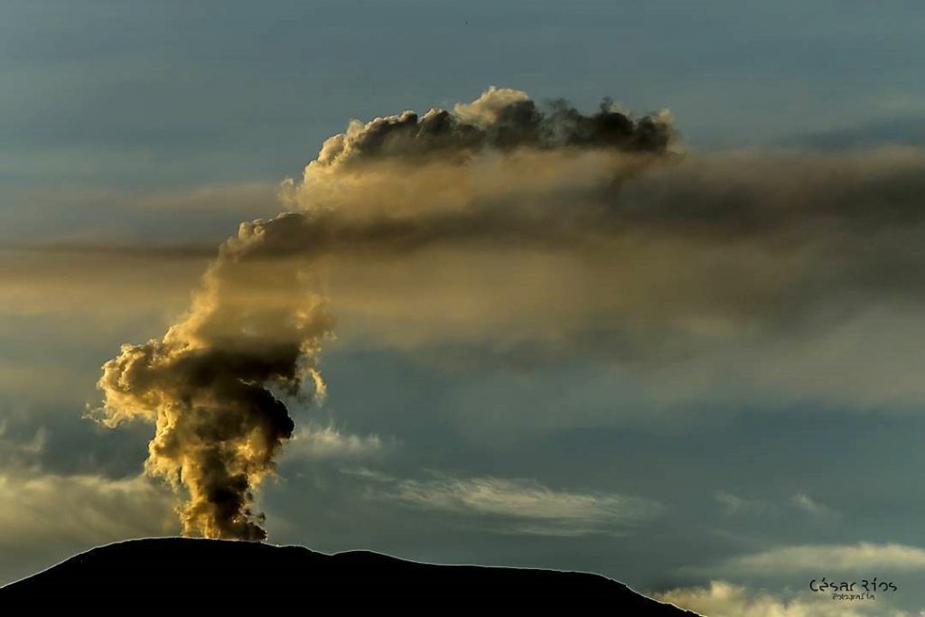
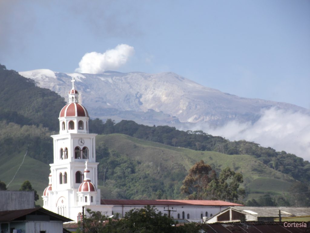
The column of gas and steam reached a maximum height of 2,000 m, measured at the top of the volcano on April 24th. For a few days, it was observed gray or brown due to the presence of volcanic ash. The direction of column dispersion was governed by the wind direction in the region.
The Nevado del Ruiz volcano continues at the level of yellow activity.
Source : SGC
Photo : Cesar Rios , SGC.
United States , Yellowstone :
44°25’48 » N 110°40’12 » W,
Summit Elevation 9203 ft (2805 m)
Current Volcano Alert Level: NORMAL
Current Aviation Color Code: GREEN
Recent work and news:
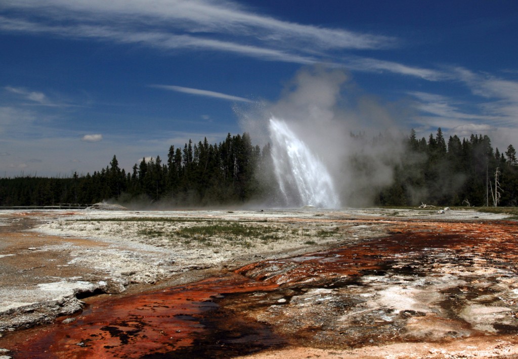
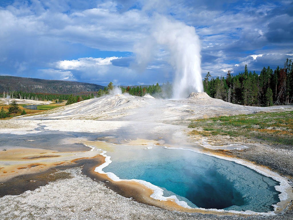
There were two water eruptions of Steamboat geyser in April 2019, on April 8 and 25 — the latter just in time for the opening of the region to visitors! The month of May also marks the start of field season, so keep your eyes open for YVO scientists in the Park this month. They will be conducting maintenance on monitoring stations, deploying new equipment, and conducting geologic mapping and water studies.
Seismicity :
During April 2019, the University of Utah Seismograph Stations, responsible for the operation and analysis of the Yellowstone Seismic Network, located 57 earthquakes in the Yellowstone National Park region. The largest event was a microearthquake of magnitude 2.6 located 8.5 miles south-southwest of West Thumb, WY, on April 28 at 11:18 PM MDT. The earthquake was not reported felt.
Yellowstone earthquake activity remains at background levels.
Ground deformation :
There were no major changes in surface deformation in the Yellowstone area as recorded by GPS stations. Ground subsidence of Yellowstone caldera continues, as it has since 2015, at a rate of a few millimeters per month. In the area of Norris Geyser Basin, GPS data suggest the possibility of slight subsidence over the past 1-2 months, following ~5 months of no deformation. At this point, it is not clear if this marks a subtle transition to subsidence at Norris, or if the recent change is only temporary.
The Yellowstone Volcano Observatory (YVO) provides long-term monitoring of volcanic and earthquake activity in the Yellowstone National Park region. Yellowstone is the site of the largest and most diverse collection of natural thermal features in the world and the first National Park. YVO is one of the five USGS Volcano Observatories that monitor volcanoes within the United States for science and public safety.
Source : YVO.
Photos : Parc National

