February 22 , 2019.
La Réunion , Piton de la Fournaise :
Activity bulletin from Thursday, February 21, 2019 to 14:00 (local time).
The resumption of eruptive activity on February 19, 2019 at Piton de la Fournaise around 7:10 pm local time continues. After a drop in intensity, the eruptive tremor (indicator of the intensity of the eruption) is relatively stable since February 20 at 06h local time (Figure 1).
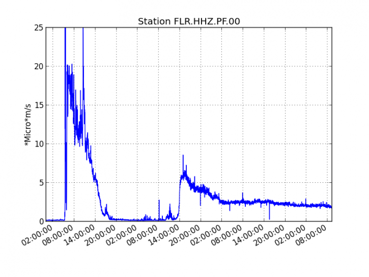
Figure 1: Evolution of the RSAM (indicator of the volcanic tremor and the intensity of the eruption) between 09h48 (05h48 UTC) on February 18th and 13h30 (09h30 UTC) on February 21st on the seismic station of FLR. (© OVPF / IPGP) (OVPF / IPGP)
– Over the last 36 hours, 7 superficial superficial volcano-tectonic earthquakes (above sea level) have been recorded
– After a deflation of the volcano related to the transfer of magma that has occurred since 18/02/2019, the deformations of the summit area do not show any particular signals.
– Far-field CO2 concentrations in the Plaine des Cafres region are in sharp decline and those recorded in the near-field remain high, again in agreement with the magma transfer that has occurred since 18 / 02/2019.
– Over the last 36 hours, surface flows estimated from satellite data, via the HOTVOLC platform (OPGC – University of Auvergne), were between 2 and 8 m3 / s.
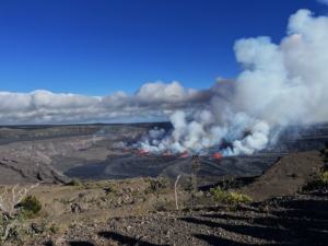
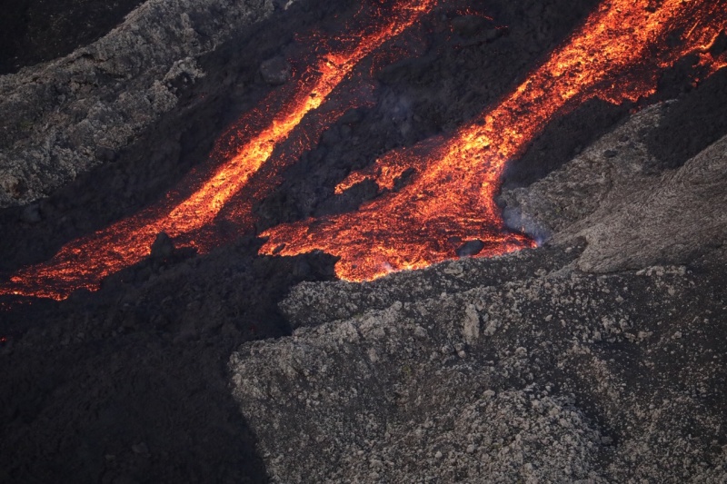
Observations from RN2 by an OVPF team last night showed that the flows continued to progress discontinuously (with periods of stagnation – stagnation of the flow front – and faster periods of progression) and that the main pouring front had crossed the broken « Great Slopes » (Figure 2). The variations of flux observed at the vent can explain the discontinuous progression of the surface flows
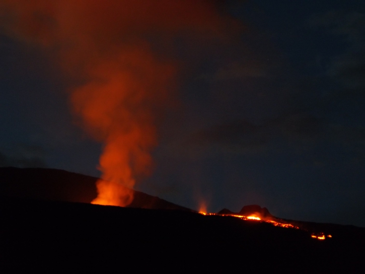
Figure 2: Shooting of the eruptive site and the main stream from the RN2 on 20/02/2019 19h26 local time. © OVPF / IPGP (OVPF / IPGP)
Source : OVPF.
Photos : rb/ ipreunion.com , OVPF.
Hawaii , Kilauea :
19°25’16 » N 155°17’13 » W,
Summit Elevation 4091 ft (1247 m)
Current Volcano Alert Level: ADVISORY
Current Aviation Color Code: YELLOW
Activity Summary:
Kīlauea Volcano is not erupting. Rates of seismicity, deformation, and gas emissions have not changed significantly over the past week.
Observations:
Geophysical and geologic data indicate no significant change with volcanic activity. Low rates of seismicity continue across the volcano, with earthquakes occurring primarily in the summit and south flank regions. GPS stations and tiltmeters continue to show motions consistent with refilling of the deep East Rift Zone. Sulfur dioxide emission rates from the summit and from Puʻu ʻŌʻō remain low. These rates have been steady over the past several weeks.
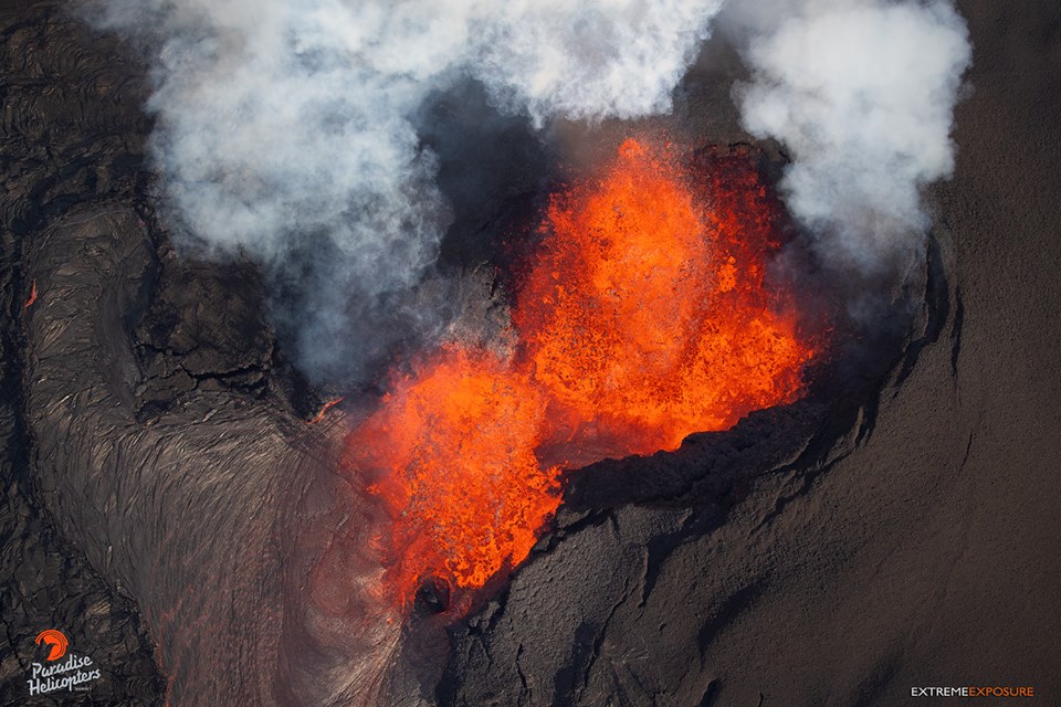
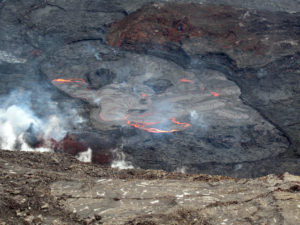
Image of crack 8 in June of last year.
Hazards remain in the lower East Rift Zone eruption area and at the Kīlauea summit. Residents and visitors near recently active fissures and lava flows should heed Hawaii County Civil Defense and National Park warnings and be prepared, if necessary, to self-evacuate in the unlikely event of renewed activity. Please note that Hawaii County maintains a closure of the entire lava flow field and eruptive vents, prohibiting access unless authorized through Civil Defense.
The Hawaiian Volcano Observatory (HVO) continues to closely monitor Kīlauea’s seismicity, deformation, and gas emissions for any sign of increased activity. HVO maintains visual surveillance of the volcano with web cameras and occasional field visits. HVO will continue to issue a weekly update (every Tuesday) and additional messages as warranted by changing activity.
Source : HVO.
Photo : Bruce Omori
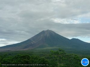
Colombia , Nevado del Ruiz :
Weekly activity bulletin of the Nevado del Ruiz volcano
The level of activity continues at the level: activity level Yellow or (III): Modifications of the behavior of the volcanic activity.
With regard to monitoring the activity of the Nevado del Ruiz volcano, the COLOMBIAN GEOLOGICAL SERVICE informs that:
The Nevado del Ruiz volcano over the past week continued to show instability in its behavior. The recorded seismicity was mainly associated with the fracturing of the rocks in the volcano. This seismic activity showed a slight decrease in the number of earthquakes and released seismic energy compared to the previous week. The earthquakes were located in the Arenas crater and in the South, Southwest and Northwest sectors of the volcano at depths between 0.3 and 6.3 km. The highest-energy earthquake was recorded on February 16 at 06:54 (local time), with a magnitude of 1.0 ML (local magnitude) and was located 1.3 km north-northeast of the Arenas crater, at a depth of 3.7 km.
Regarding the seismicity related to fluid dynamics within the ducts of the volcanic structure, there was a slight increase in the number of earthquakes and released seismic energy compared to the previous week. This seismic activity was characterized by the appearance of slight pulses of volcanic tremor and events of very long type. The earthquakes occurred mainly in the crater Arenas and its surroundings.
Volcanic deformation measured from electronic inclinometers showed stability during the week, as did GNSS (Global Navigation Satellite System) stations, without recording any significant deformation processes of the volcanic structure.
The volcano continues to emit water vapor and gases into the atmosphere, among which is the sulfur dioxide (SO2), as evidenced by the values obtained by the SCANDOAS stations installed in the region of the volcano. satellite image analysis. During the week, the NASA FIRMS and MIROVA portals reported several low-energy thermal anomalies.
The column of gas and steam reached a maximum height of 950 m, measured at the top of the volcano on February 17. The direction of dispersion of the column was governed by the direction of the wind in the region, which prevailed towards the west-northwest of the volcano.
The Nevado del Ruiz volcano continues at the level of activity yellow .
Source : SGC
Photo : Fuerza Aérea Colombiana.
Kamchatka , Sheveluch :
VOLCANO OBSERVATORY NOTICE FOR AVIATION (VONA).
Issued: February 21 , 2019
Volcano:Sheveluch (CAVW #300270)
Current aviation colour code:ORANGE
Previous aviation colour code:orange
Source:KVERT
Notice Number:2019-39
Volcano Location:N 56 deg 38 min E 161 deg 18 min
Area:Kamchatka, Russia
Summit Elevation:10768.24 ft (3283 m), the dome elevation ~8200 ft (2500 m)
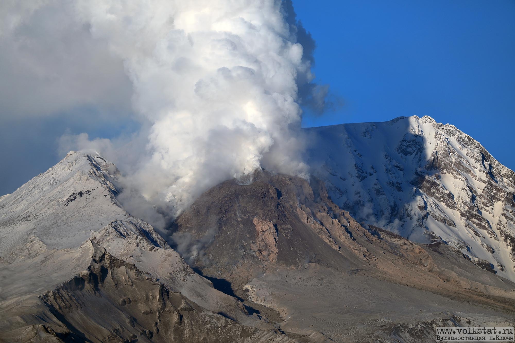
Volcanic Activity Summary:
A growth of the lava dome continues (a viscous lava blocks extrude out on the northern part of it), a strong fumarolic activity and an incandescence of the dome blocks and hot avalanches accompanies this process. According to video and satellite data, a gas-steam plume with some amount of ash continues to drift to the west from the volcano.
Explosive-extrusive eruption of the volcano continues. Ash explosions up to 32,800-49,200 ft (10-15 km) a.s.l. could occur at any time. Ongoing activity could affect international and low-flying aircraft.
Volcanic cloud height:
14760 ft (4500 m) AMSL Time and method of ash plume/cloud height determination: 20190221/0227Z – unknown
Other volcanic cloud information:
Distance of ash plume/cloud of the volcano: 39 mi (62 km)
Direction of drift of ash plume/cloud of the volcano: W / azimuth 261 deg
Time and method of ash plume/cloud determination: 20190221/0142Z – MODIS AQUA (31m32)
Source : Kvert.
Photo : Y. Demyanchuk.
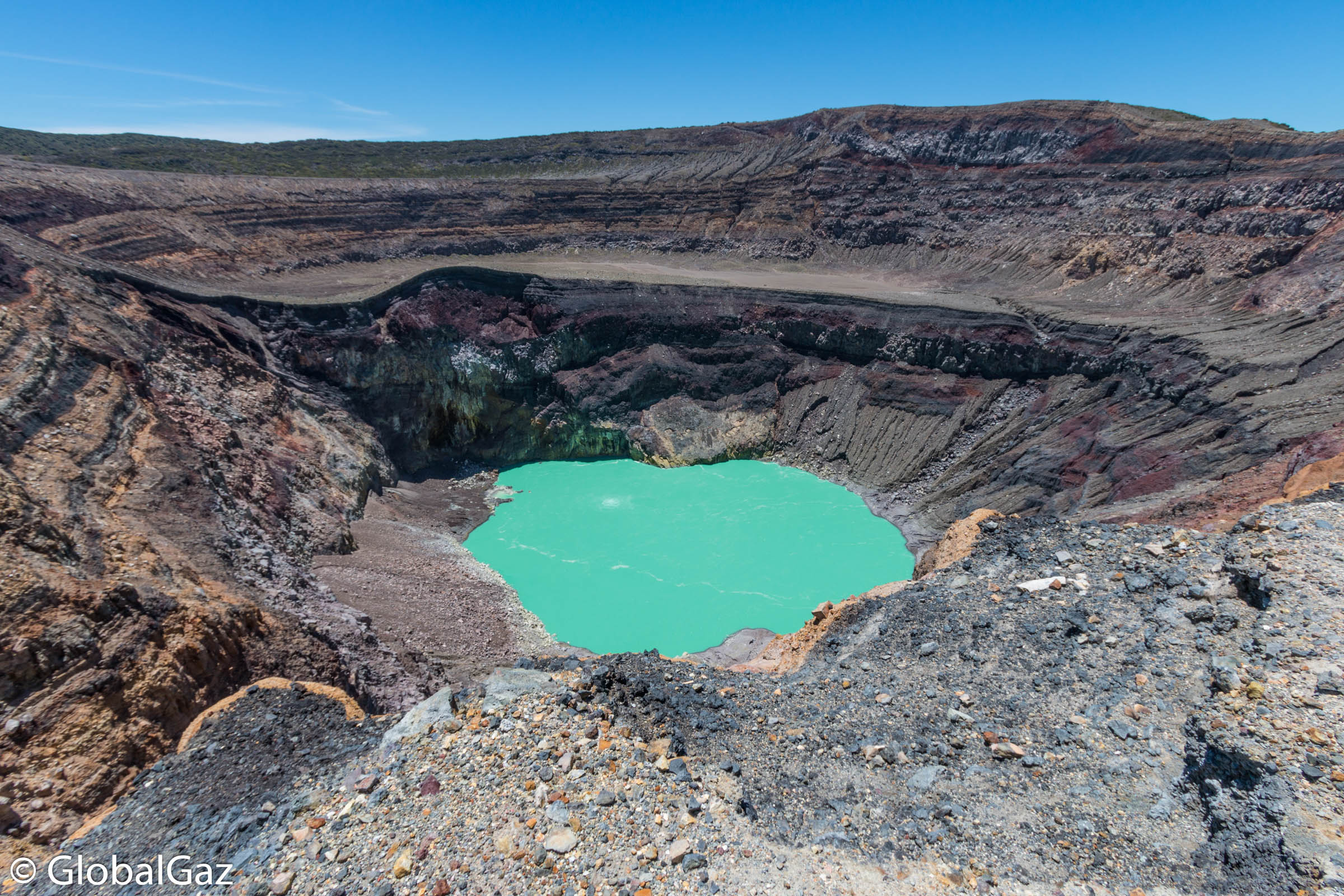
El Salvador , Santa Ana (Ilamatepec) :
Location: shared by the departments of Santa Ana and Sonsonate
Altitude: 2381 meters above sea level
Type of volcano: Stratovolcano
Attraction type: Vulcanian – Strombolian
Last eruption: October 1, 2005.
The seismic vibration of the volcano remained between 32 and 39 RSAM units on average, that is to say in the normal range. The San Blas seismic station recorded 44 earthquakes related to the movement of fluids in the volcanic system. With regard to earthquakes associated with the rupture of solid media, eight were recorded; however, only six of them had enough energy to be located at depths less than six kilometers and magnitudes between M0.5 and M3.2. It should be noted that two of them were felt by the inhabitants of the city of Juayúa.
A gas measurement session was conducted with a group of researchers from the University of Mainz, Germany. This study will show the gas emissions that the volcano currently shows, as well as improve the knowledge of the volcanic threat. One of the measurements was carried out with multi-gas equipment, the data analysis indicates that the volcano continues to present modifications and magmatic gases are released from inside the volcano. However, despite the measured changes in gas emissions, the activity of the volcano is typical of an active volcano.
Source : Marn
Photo : Global Gaz.