December 19 , 2018.
Japan , Kuchinoerabu :
Volcano erupts on Kuchinoerabu Island , Japan .
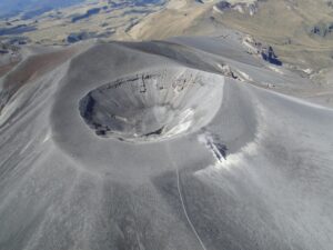
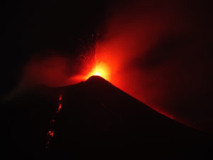
Japan’s Meteorological Agency says a volcano erupted on Kuchinoerabu Island in the southwestern prefecture of Kagoshima on Tuesday.
Mount Shindake erupted explosively shortly after 4:30 PM.
https://www.facebook.com/sherinefrance/videos/2026887077376478/
A column of volcanic ash rose 2,000 meters into the air, and large rocks were seen spewing from the crater.
A pyroclastic flow reached a distance of about one kilometer down the western slope. It is the first such flow to be observed there since May of 2015, when all residents were evacuated.
Mount Shindake has been erupting sporadically since October.
The agency is keeping its eruption alert level at three on a scale of one to five.
Officials are warning residents to be on the alert for volcanic rocks and pyroclastic flows within two kilometers of the crater and some other areas.
Source : www3.nhk.or.jp
Video : Toru Takenouchi via Sherine France.
Russia / Kurils Islands , Ebeko :
VOLCANO OBSERVATORY NOTICE FOR AVIATION (VONA).
Issued: December 18 , 2018
Volcano:Ebeko (CAVW #290380)
Current aviation colour code:ORANGE
Previous aviation colour code:orange
Source:KVERT
Notice Number:2018-121
Volcano Location:N 50 deg 41 min E 156 deg 0 min
Area:Northern Kuriles, Russia
Summit Elevation:3791.68 ft (1156 m)
Volcanic Activity Summary:
A moderate explosive activity of the volcano continues. Visual data from Severo-Kurilsk showed an explosion sent ash up to 2.5 km a.s.l., an ash plume is extending to the north from the volcano.
A moderate eruptive activity of the volcano continues. Ash explosions up to 19,700 ft (6 km) a.s.l. could occur at any time. Ongoing activity could affect low-flying aircraft and airport of Severo-Kurilsk.
Volcanic cloud height:
7544-8200 ft (2300-2500 m) AMSL Time and method of ash plume/cloud height determination: 20181218/0254Z – Visual data
Other volcanic cloud information:
Distance of ash plume/cloud of the volcano: 3 mi (5 km)
Direction of drift of ash plume/cloud of the volcano: N
Time and method of ash plume/cloud determination: 20181218/0254Z – Visual data
Source : Kvert.
Photo : Кирилл Баканов
Colombia, Chiles / Cerro Negro :
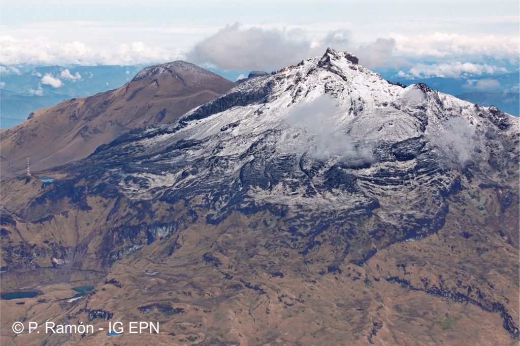
Weekly activity bulletin of volcanoes Chiles and Cerro Negro.
The activity level of the volcanoes is maintained at the level: YELLOW LEVEL ■ (III): CHANGES IN THE BEHAVIOR OF THE VOLCANIC ACTIVITY.
As a result of the CHILE and CERRO NEGRO volcano activity, the COLOMBIAN GEOLOGICAL SERVICE (SGC) reports that:
Compared to the previous period, between 11 and 17 December 2018, the seismic activity in the region of Chiles – Cerro Negro volcanoes recorded a decrease in its occurrence and energy, from 8731 to 2855 earthquakes, all associated with fracturing the rock inside the volcanic building.
The vast majority of hypocentres were located southwest of the summit of Chiles volcano to epicentral distances of 4 km and depths between 3 and 6 km below the summit (4700 m altitude). A fracture earthquake with a local magnitude of M 3.0 is highlighted, reported as experienced on December 14 at 14:57 local time, located at a depth of 7 km and at a distance of 14 km in the south. East from the summit of Chiles Volcano. The swarm of fracture-type earthquakes since December 3 has shown a gradual downward trend in recent weeks.
The Colombian geological service and the GEOPHYSICAL INSTITUTE OF THE NATIONAL POLITECHNIC SCHOOL OF ECUADOR closely monitor the evolution of this seismic activity and the volcanic phenomenon and inform in a timely manner about the detected changes.
Source : SGC
Photo : P Ramon.
Philippines , Mayon :
MAYON VOLCANO BULLETIN 19 December 2018 08:00 A.M.
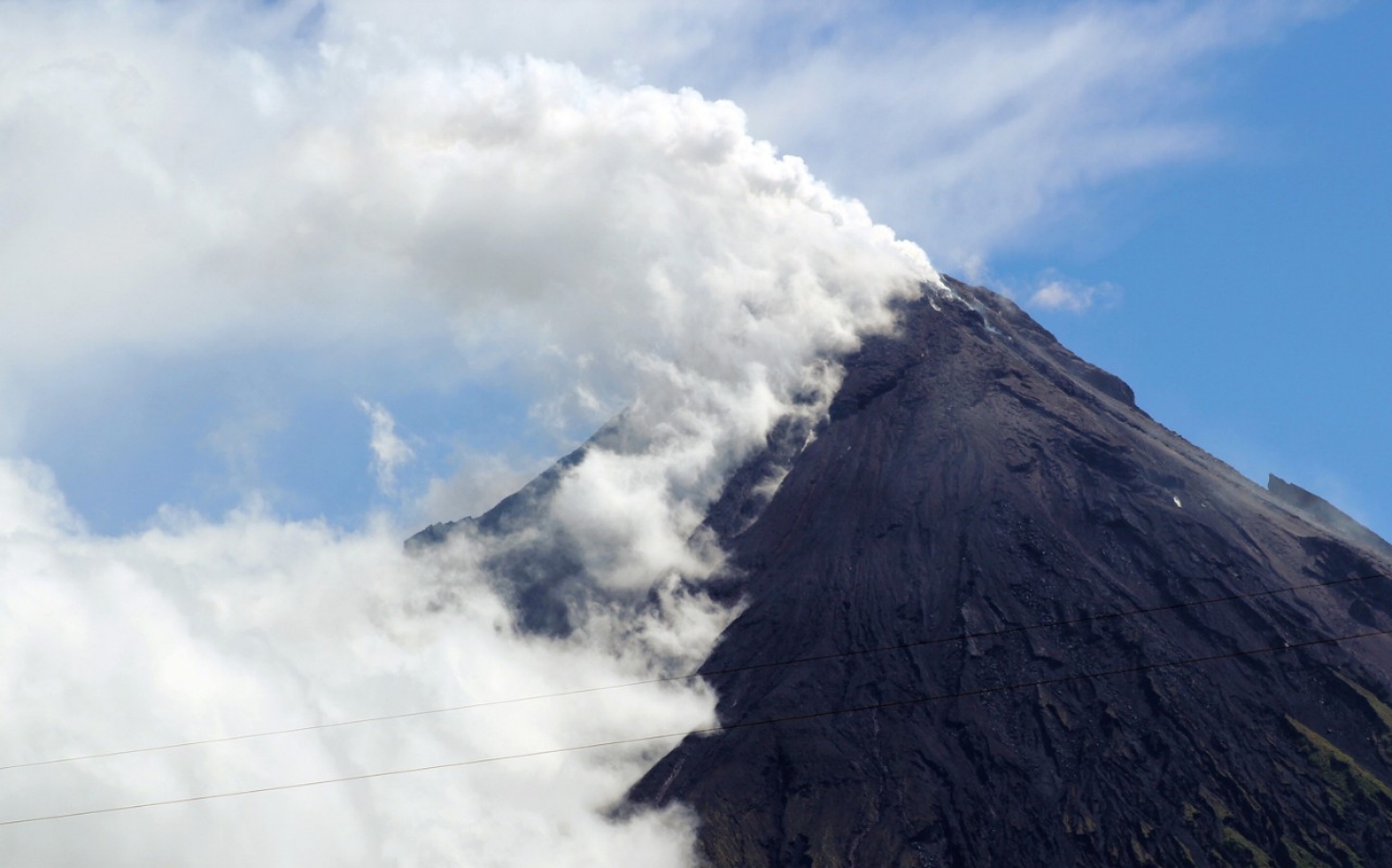
Mayon Volcano’s seismic monitoring network recorded two (2) volcanic earthquakes during the past 24 hours. One of these is related to an ash emission event that generated a brownish ash plume starting at 4:55 PM yesterday. This event lasted for 30 seconds based on seismic record. Moderate emission of white steam-laden plumes that crept downslope before drifting south-southwest was observed. Sulfur dioxide (SO2) emission was measured at an average of 1,377 tonnes/day on 30 November 2018. Precise leveling data obtained on 08-13 December 2018 indicate a slight inflation of the edifice relative to 22-31 October 2018. The volcano generally remains inflated relative to 2010 baselines. Electronic tilt data further show pronounced inflation of the mid-slopes beginning 25 June 2018, possibly due to aseismic magma intrusion deep beneath the edifice.
Alert Level 2 currently prevails over Mayon Volcano. This means that Mayon is at a moderate level of unrest. DOST-PHIVOLCS reminds the public that sudden explosions, lava collapses, pyroclastic density currents or PDCs and ashfall can still occur and threaten areas in the upper to middle slopes of Mayon. DOST-PHIVOLCS recommends that entry into the six kilometer-radius Permanent Danger Zone or PDZ and a precautionary seven kilometer-radius Extended Danger Zone or EDZ in the south-southwest to east-northeast sector, stretching from Anoling, Camalig to Sta. Misericordia, Sto. Domingo must be strictly prohibited. People residing close to these danger areas are also advised to observe precautions associated with rockfalls, PDCs and ashfall. Civil aviation authorities must advise pilots to avoid flying close to the volcano’s summit as airborne ash and ballistic fragments from sudden explosions and PDCs may pose hazards to aircrafts.
Source : Phivolcs.
Photo : Auteur inconnu.
Hawaii , Kilauea :
19°25’16 » N 155°17’13 » W,
Summit Elevation 4091 ft (1247 m)
Current Volcano Alert Level: ADVISORY
Current Aviation Color Code: YELLOW
Activity Summary:
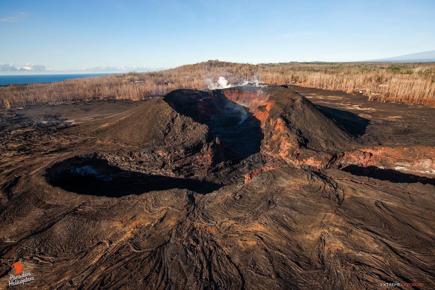
Kīlauea Volcano is not erupting. Rates of seismicity, deformation, and gas release have not changed significantly over the past week. Deformation signals are consistent with refilling of the middle East Rift Zone.
Observations:
HVO monitoring during the past week showed no significant changes. Low rates of seismicity at the summit and East Rift Zone (ERZ) continue, with events occurring primarily at Kīlauea’s summit and Kīlauea’s south flank areas, totaling around 220 detected earthquakes in those areas since last check. In the ERZ, tiltmeters showed little change over the last week, with GPS indicating minor inflation downrift from Puʻu ʻŌʻō. Sulfur dioxide emission rates have been below detection limits in the LERZ since early September, though minor amounts of volcanic gas are still present. Sulfur dioxide emission rates were last measured at ~35 t/d at both the summit and ERZ, consistent with the past few months of emissions from Kīlauea.Hazards are still present in the LERZ eruption area and at the Kīlauea summit. Residents and visitors near recently active fissures and lava flows should stay informed, heed Hawaii County Civil Defense and National Park warnings, and be prepared, if necessary, to self-evacuate in the unlikely event of renewed activity. Please note that Hawaii County maintains a closure of the entire flow field and the vents and prohibits access to the area unless authorized through Civil Defense.
The Hawaiian Volcano Observatory (HVO) continues to closely monitor Kīlauea’s seismicity, deformation, and gas emissions for any sign of reactivation, and maintains visual surveillance of the summit and the East Rift Zone. HVO will continue to issue a weekly update (every Tuesday) and additional messages as warranted by changing activity.
Source : HVO
Photo : Bruce Omori .


