Décember 02 , 2018.
Russia / Kurils Islands , Ebeko :
VOLCANO OBSERVATORY NOTICE FOR AVIATION (VONA).
Issued: November 30 , 2018
Volcano:Ebeko (CAVW #290380)
Current aviation colour code:ORANGE
Previous aviation colour code:orange
Source: KVERT
Notice Number:2018-113
Volcano Location:N 50 deg 41 min E 156 deg 0 min
Area:Northern Kuriles, Russia
Summit Elevation:3791.68 ft (1156 m)
Volcanic Activity Summary:
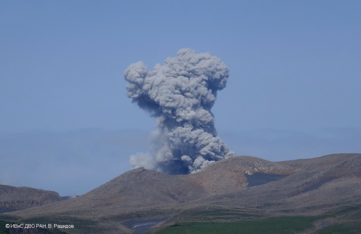
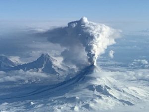
The moderate explosive activity of the volcano continues. Visual data from Severo-Kurilsk showed an explosion sent ash up to 2 km a.s.l., an ash plume is extending to the south from the volcano.
This moderate eruptive activity of the volcano continues. Ash explosions up to 19,700 ft (6 km) a.s.l. could occur at any time. Ongoing activity could affect low-flying aircraft and airport of Severo-Kurilsk.
Volcanic cloud height:
6560 ft (2000 m) AMSL Time and method of ash plume/cloud height determination: 20181130/2050Z – Visual data
Other volcanic cloud information:
Distance of ash plume/cloud of the volcano: 3 mi (5 km)
Direction of drift of ash plume/cloud of the volcano: South.
Source : Kvert.
Photo : V. Rashidov, IVS FEB RAS ( 08/2017).
Indonesia, Ibu :
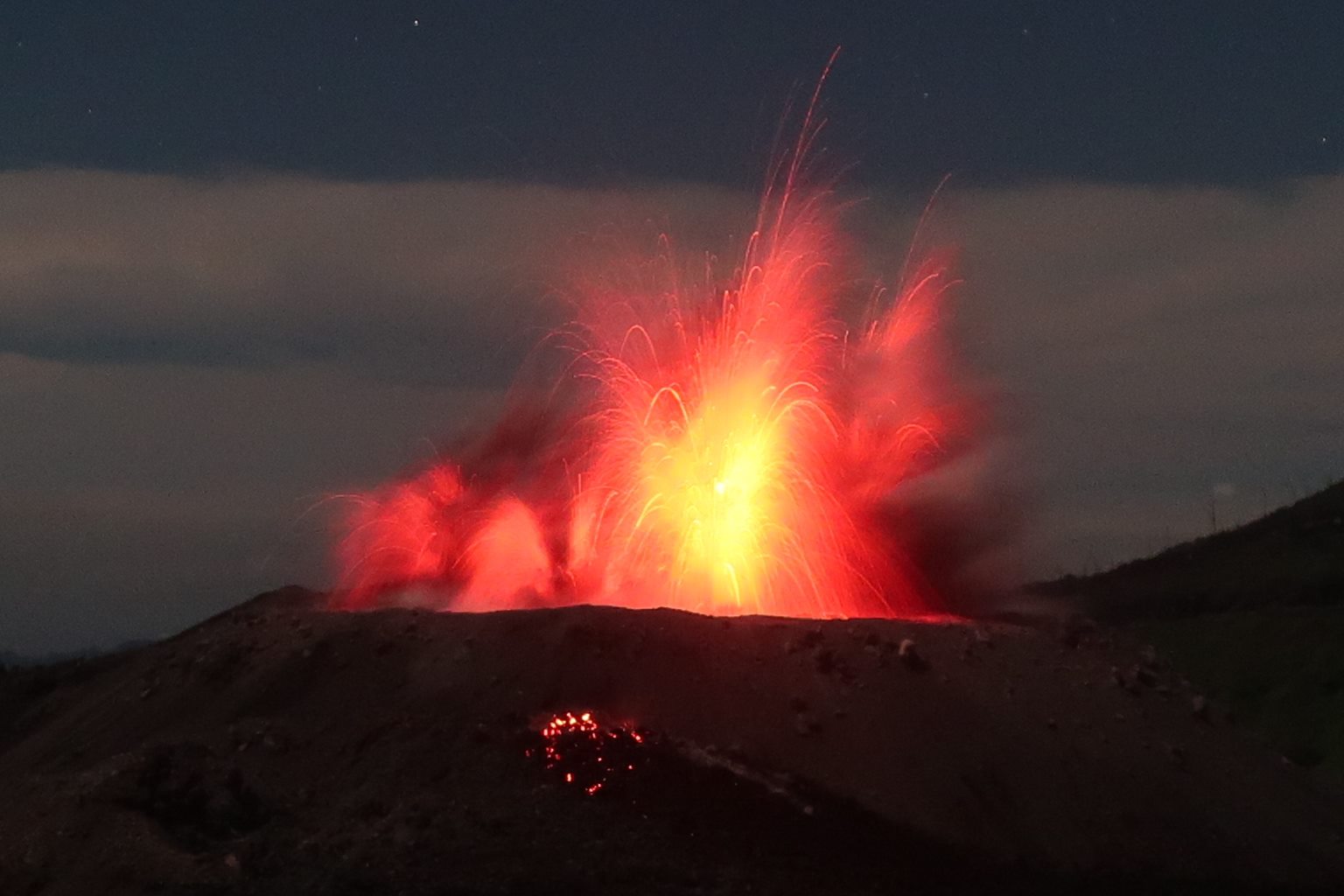
Level of activity at Level II (WASPADA). The Ibu volcano (1340 m altitude) has been continuously erupting since 2008.
Since yesterday and until this morning, the vision of the volcanic peak was clear until it was covered with fog. The smoke from the crater was observed to be white to gray, with low to moderate pressure and low to moderate intensity, rising about 200 to 800 m above the peak. The wind is blowing slowly to moderately to the north and north-west.
https://www.facebook.com/andrey.nikiforov.984/videos/2009170059150249/
Thanks to the seismographs, on December 1st, 2018, it was recorded:
100 earthquakes of eruption
125 bursts of earthquakes
17 avalanche earthquakes
6 harmonic tremors
1 distant tectonic earthquake
Recommendation: Communities around G. Ibu and visitors / tourists should not have activity, climb and approach within 2 km of the crater. The sectoral expansion is 3.5 km towards the openings in the northern part of the active crater of G. Ibu.
VONA: The last VONA code sent had an ORANGE color code, issued Oct. 22, 2018 at 6:30 pm, for an eruption with a column of ash about 1725 m above sea level or about 400 m above the summit. The ash column was moving north.
For a normal volcano status: people / tourists / mountaineers do not spend the night and do not camp in the crater to avoid the potential threat of toxic gases.
Source : PVMBG.
Video et photo : Andrey Nikiforov via Sherine France.
Mayotte , the volcanic hypothesis is clarified :
Seismic activity: in Mayotte, the volcanic hypothesis is clarified.
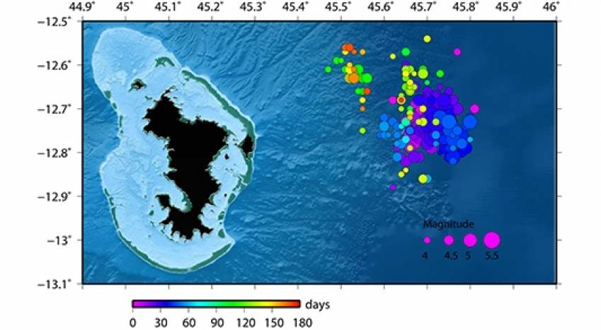
In its monthly bulletin, the volcanological observatory of the Piton de la Fournaise (OVPF) returns to the month of November, very quiet on the local level, and summarizes the situation in Mayotte where the seismic activity in progress since May 2018 seems more and more related to the emptying of a magmatic reservoir. The island sank 8 cm and moved east 9 cm.
Researchers from the volcanological observatory of Réunion have been collaborating for several decades with the Comoros, as part of the study and monitoring of Karthala, the active volcano of Grande-Comore. But for more than six months, they are looking at the situation of the eastern island of the archipelago, Mayotte, where the seismic activity recorded since May could neither more nor less than reflect a deep volcanic activity localized to some dozens of kilometers offshore.
The situation followed since La Réunion.
The OVPF summarizes: « These earthquakes form a swarm with epicentres grouped in the sea, 30 to 60 km east of the coast of Mayotte. The vast majority of these earthquakes are of low magnitude, but several events of moderate magnitude (at most M 5.9) have been strongly felt by the population and have damaged some buildings.
« Since July the seismic activity has decreased but seismicity persists, some earthquakes felt. In November, the month was particularly active with two earthquakes of magnitude greater than M4 ,felt, November 19 (M 4.5) and November 27 (M 5). In parallel, data from GPS stations distributed by the National Geographic Institute (IGN), indicate since July an overall displacement of about 9 cm to the east and a subsidence of about 8 cm . Automatic and daily calculations have been set up at the OVPF to follow these deformations, as well as the source at their origin.
The situation followed since La Réunion.
The OVPF summarizes: « These earthquakes form a swarm with epicentres grouped in the sea, 30 to 60 km east of the coast of Mayotte. The vast majority of these earthquakes are of low magnitude, but several events of moderate magnitude (at most M 5.9) have been strongly felt by the population and have damaged some buildings.
« Since July the seismic activity has decreased but seismicity persists, …/…
Source : Clicanoo , François Martel-Asselin .
Full report : https://www.clicanoo.re/Societe/Article/2018/12/01/Activite-sismique-Mayotte-lhypothese-volcanique-se-precise_559712
United – States , Cascade Range Volcanoes :
Friday, November 30, 2018, 12:59 PM PST (Friday, November 30, 2018, 20:59 UTC)
CASCADE RANGE VOLCANOES
Current Volcano Alert Level: NORMAL
Current Aviation Color Code: GREEN
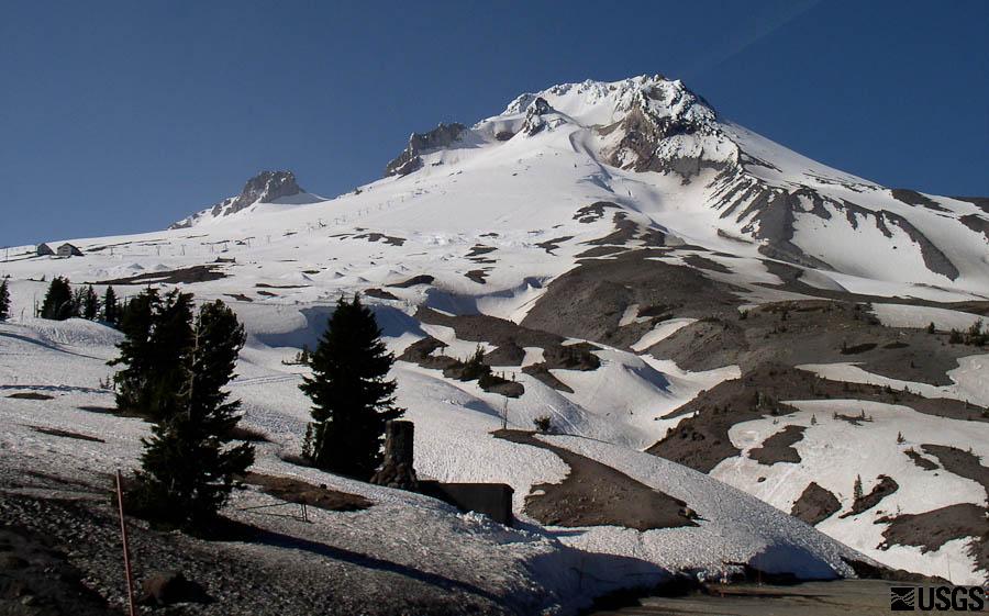
Activity Update: All volcanoes in the Cascade Range of Oregon and Washington are at normal background levels of activity. These include Mount Baker, Glacier Peak, Mount Rainier, Mount St. Helens, and Mount Adams in Washington State; and Mount Hood, Mount Jefferson, Three Sisters, Newberry, and Crater Lake in Oregon.
Recent Observations: Monitoring systems show that activity at Cascade Range volcanoes remained at background levels throughout the week. Only a few earthquakes were recorded near Cascade Range volcanoes at Mount St. Helens and Mount Hood.
The U.S. Geological Survey and Pacific Northwest Seismic Network (PNSN) continue to monitor these volcanoes closely and will issue additional updates and changes in alert level as warranted.
Source : CVO.
Photo : USGC ( Mont Hood )

