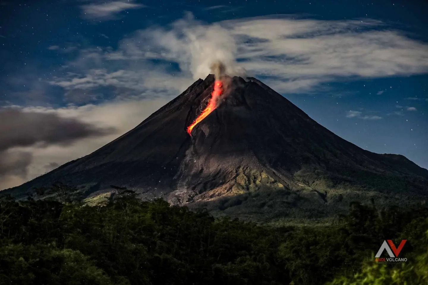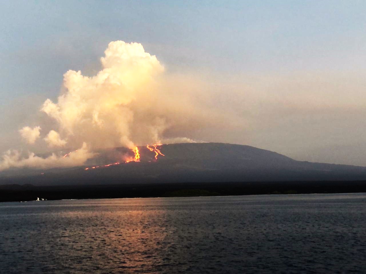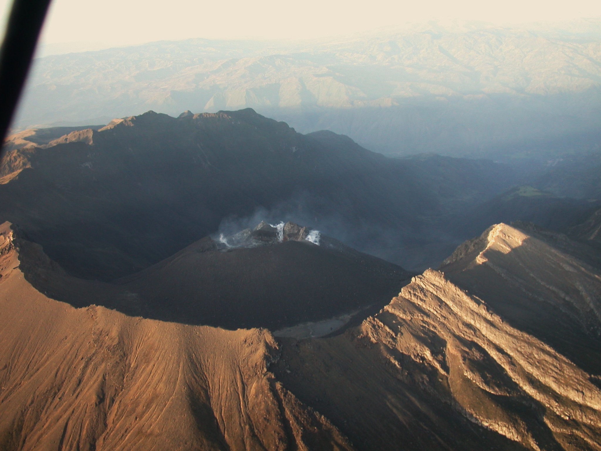
March 24, 2024. EN. Russia / Kuril Islands : Ebeko , Iceland : Reykjanes Peninsula , Indonesia : Semeru , Chile : Villarica , Ecuador : Sangay .
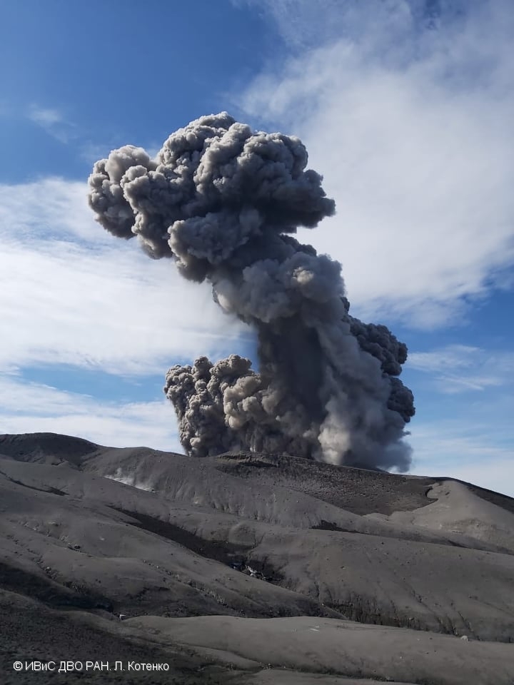
March 24 , 2024. Russia / Kuril Islands , Ebeko : VOLCANO OBSERVATORY NOTICE FOR AVIATION (VONA) Issued: March 24 , 2024 Volcano: Ebeko (CAVW #290380) Current aviation colour…