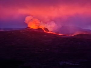
October 19 , 2024.
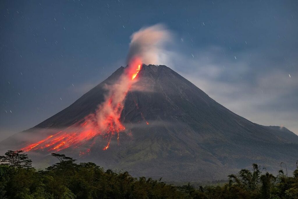
Philippines , Kanlaon :
KANLAON VOLCANO ADVISORY , 19 October 2024 , 12:30 PM
Notice of brief volcanic ash events at Kanlaon Volcano.
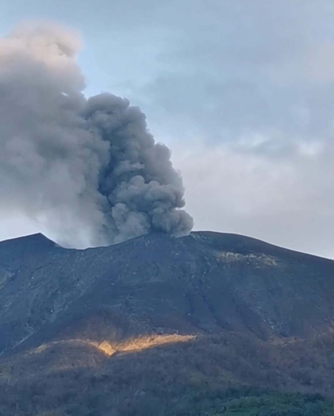
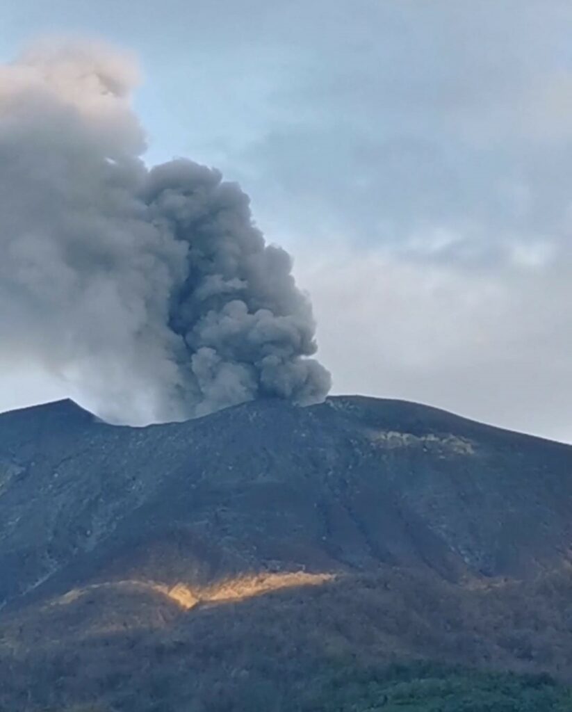
Visual monitors of the Kanlaon Volcano Network (KVN) have recorded brief episodes of gray ash being entrained or brought out by continuous degassing from the summit crater of Kanlaon. These “ashing” events were observed at 6:41 AM, 7:01 AM and 8:01 AM and lasted two to six minutes based on visual observations; no detectable seismic or infrasound signals of these events were recorded. The events generated light-gray plumes that rose 500 meters above the crater before drifting southwest. Traces of ash were reported in Brgys. Yubo and Ara-al, La Carlota City and Brgy. Sag-ang, La Castellana. Sulfurous fumes were also experienced in Brgy. Yubo. The summit crater was obscured by cloud cover that hampered visual observations for the remainder of the morning. Volcanic SO2 emission from the summit crater of Kanlaon based on campaign Flyspec measurements yesterday, 18 October 2024, averaged 2,769 tonnes/day. Kanlaon has been degassing increased concentrations of volcanic SO2 this year at an average rate of 3,383 tonnes/day prior to the 3 June 2024 eruption, but emission since then has been particularly elevated at a current average of 4,133 tonnes/day. Volcanic ash in the degassing plume signifies open vent conditions in which volcanic gas can carry fine debris from fractured rock or even from the margins of shallow magma beneath the edifice.
The public is reminded that Alert Level 2 (increasing unrest) prevails over Kanlaon, but that current activity may lead to eruptive unrest and an increase in the Alert Level. The public is strongly advised to be ready and vigilant, and to avoid entry into the four (4) kilometer-radius Permanent Danger Zone (PDZ) to minimize risks from volcanic hazards such as pyroclastic density currents, ballistic projectiles, rockfall and others. In case of ash fall events that may affect communities downwind of Kanlaon’s crater, people should cover their nose and mouth with a damp, clean cloth or dust mask. Civil aviation authorities must also advise pilots to avoid flying close to the volcano’s summit as ash and ballistic fragments from sudden eruption can be hazardous to aircraft. Communities living beside river systems on the southern and western slopes, especially those that have already experienced lahars and muddy streamflows, are advised to take precautionary measures when heavy rainfall over the volcano has been forecast or has begun.
DOST-PHIVOLCS maintains close monitoring of Kanlaon Volcano and any new development will be immediately communicated to all concerned stakeholders.
Source : DOST-PHIVOLCS
Photo : Norbert Gallosa ( 18/10/2024)
Alaska , Spurr :
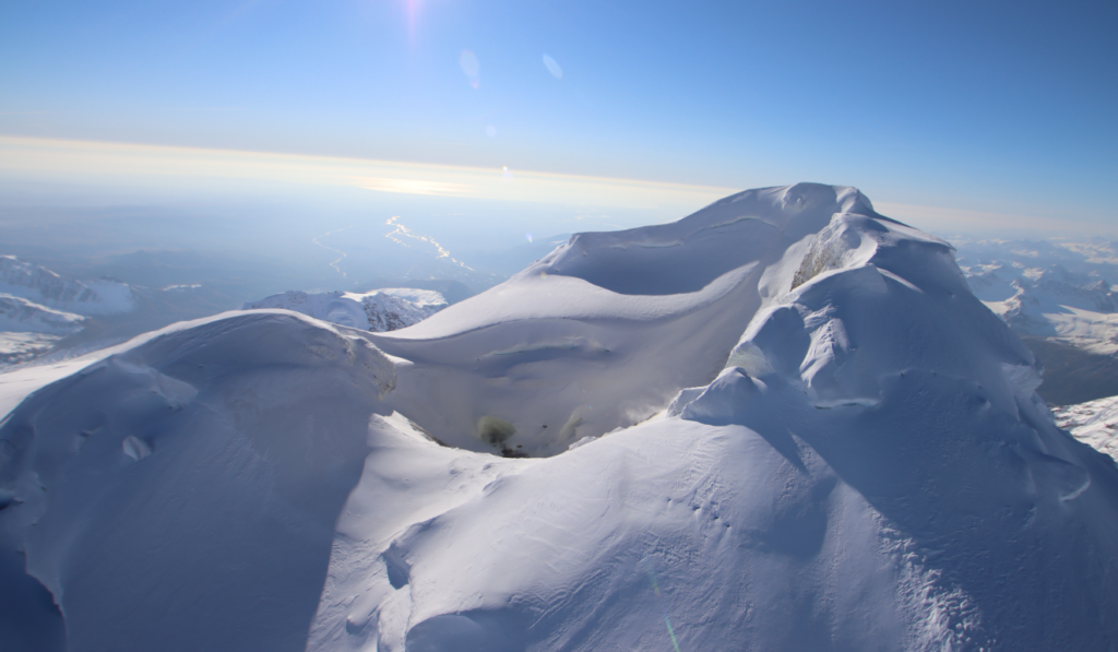
AVO has observed a gradual increase in volcanic unrest over a period of several months at Mount Spurr, located about 120 km (75 miles) west of Anchorage. GNSS receivers have detected sustained upward and outward ground deformation since March 2024 and an increase in seismic activity has also been noted since April. Due to this gradual increase in volcanic unrest at Mount Spurr (described in the Information Statement released on October 9) and the subtle increase in the rate and size of earthquakes over the past few weeks, AVO raised the Aviation Color Code and Volcano Alert Level to YELLOW/ADVISORY on October 16. The largest magnitude earthquake detected in this current period of unrest is a M2.3 earthquake on October 6th. There are no indications that an eruption is imminent. Often this type of seismicity and ground deformation will decline without producing an eruption. Collectively, the observations suggest that a new batch of magma has been emplaced beneath the volcano. The rate of activity indicates that the probability of an eruption in the near future is low. No surface changes have been observed at Crater Peak, the vent 2 miles (3 km) south of the summit associated with all historical eruptions.
AVO continues to closely monitor activity at Mount Spurr for signals that would indicate that the volcano is moving closer to an eruption. Based on previous eruptions, changes from current activity in the earthquakes, ground deformation, summit lake, and fumaroles would be expected if magma began to move closer to the surface. Therefore, it is very likely that if an eruption were to occur it would be preceded by additional signals that would allow advance warning.
Source : AVO.
Photo : Botnick, Steven / AVO / U.S. Geological Survey ( 09/2021)
Indonesia , Ibu :
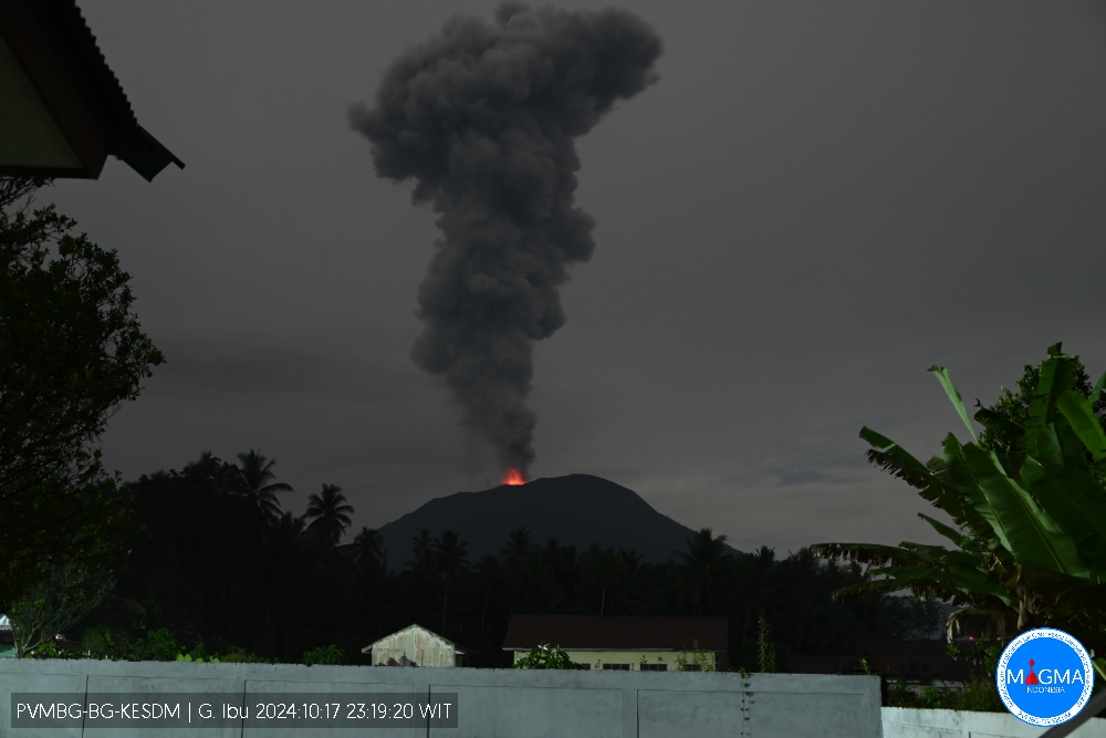
Mount Ibu erupted on Thursday, 17 October 2024 at 23:15 WIT with the height of the ash column observed at ± 3,000 m above the summit (± 4,325 m above sea level). The ash column was grey in colour with a thick intensity, oriented towards the North-East and East. This eruption was recorded on a seismograph with a maximum amplitude of 28 mm and a duration of 124 seconds.
VOLCANO OBSERVATORY NOTICE FOR AVIATION – VONA
Issued : October 17 , 20241017/1415Z
Volcano : Ibu (268030)
Current Aviation Colour Code : ORANGE
Previous Aviation Colour Code : orange
Source : Ibu Volcano Observatory
Notice Number : 2024IBU948
Volcano Location : N 01 deg 29 min 17 sec E 127 deg 37 min 48 sec
Area : North Maluku, Indonesia
Summit Elevation : 4240 FT (1325 M)
Volcanic Activity Summary :
Eruption with volcanic ash cloud at 1415 UTC (2315 local).
Volcanic Cloud Height :
Best estimate of ash-cloud top is around 13840 FT (4325 M) above sea level or 9600 FT (3000 M) above summit. May be higher than what can be observed clearly. Source of height data: ground observer.
Other Volcanic Cloud Information :
Ash cloud moving from northeast to east. Volcanic ash is observed to be gray. The intensity of volcanic ash is observed to be thick.
Remarks :
Eruption recorded on seismogram with maximum amplitude 28 mm and maximum duration 124 second.
Source et photo : Magma Indonésie.
Indonesia , Merapi :
MOUNT MERAPI ACTIVITY REPORT, October 10 to October 17, 2024, Published on October 18, 2024
OBSERVATION RESULT
Visual
The weather around Mount Merapi is generally clear in the morning and night, while it is foggy from noon to evening. White smoke, thin to thick, low to moderate pressure and 200 m high was observed from the Mount Merapi Kaliurang observation post on October 14, 2024 at 05:49 WIB. This week, lava avalanches were observed 302 times upstream of the Bebeng River up to a maximum of 1,900 m. The sound of avalanches was heard 11 times from the Kaliurang and Babadan observation posts with low to moderate intensity.
The morphology of the Southwest dome was observed to change due to dome growth activities, lava avalanches and hot cloud avalanches. Based on the analysis of aerial photos dated October 17, 2024, the volume of the Southwest dome was measured as 2,999,900 m3 and that of the Central dome as 2,360,600 m3.
Seismicity
This week, the seismicity of Mount Merapi recorded:
45 multi-phase earthquakes (MP),
7 low-frequency earthquakes (LF),
842 avalanche earthquakes (RF),
4 tectonic earthquakes (TT).
The intensity of earthquakes this week is higher than last week.
Deformation
The deformation of Mount Merapi monitored by EDM this week showed an average shortening rate of 0.1 cm/day, relatively the same as last week.
Rainfall and Lahars
This week, there was no rain at the Mount Merapi observation post. No additional flows or lahars were reported in the rivers that originate on Mount Merapi.
Conclusion
Based on the results of visual and instrumental observations, it was concluded that:
The volcanic activity of Mount Merapi is still quite high in the form of effusive eruptive activity. The activity status is set at the “SIAGA” level.
Source : BPPTKG
Photo : Merapi news ( 07/2024).
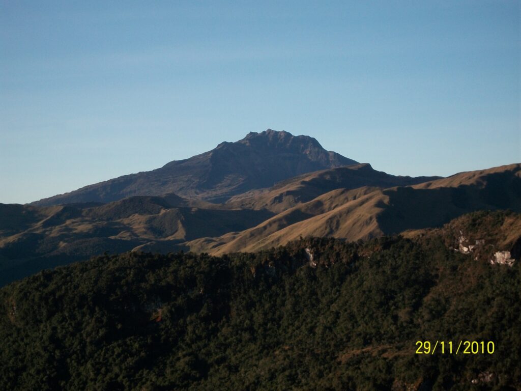
Colombia , Chiles / Cerro Negro :
San Juan de Pasto, October 15, 2024, 4:30 p.m.
From the monitoring of the activity of the Chiles and Cerro Negro volcanoes, the Colombian Geological Survey (SGC), an entity attached to the Ministry of Mines and Energy, reports that:
During the week of October 8 to 14, 2024, the activity of these volcanoes showed variations in their records that are part of a stable behavior. Compared to the previous week, the main variations in the monitored parameters were:
• A significant decrease in seismic occurrence was recorded, but with an increase in the levels of released energy.
• Seismicity associated with rock fracture was predominant in terms of occurrence and released energy.
• The recording of seismicity related to the movement of fluids inside volcanic conduits was maintained, with some events showing a very low frequency.
• Fracture earthquakes were located in two main areas. The first, located at the summit and in the collapse zone north of the summit of Chiles Volcano, at distances between 0 and 1.6 km, with depths between 2 and 4 km from the summit (4,700 m) and a maximum magnitude of 1.8. The second area was located south of Chiles Volcano, at distances between 1.1 and 2.5 km, with depths between 3 km and 5 km and magnitudes less than 1. The third area was located east-northeast of the summit of Cerro Negro, at distances between 0.6 and 3 km, with depths between 2 and 4 km and magnitudes less than 1.7.
• Field stations and remote satellite sensors recording deformation continued to show changes associated with an inflationary process in the volcanic area.
Based on the above, the SGC recommends to closely monitor the evolution through the weekly bulletins and other information published through our official channels, as well as the instructions of the local and departmental authorities and the National Unit for Disaster Risk Management (UNGRD).
Volcanic activity remains in yellow alert status: active volcano with changes in the behavior of the base level of the monitored parameters and other manifestations.
Source et photo : SGC.

