May 20 , 2024.
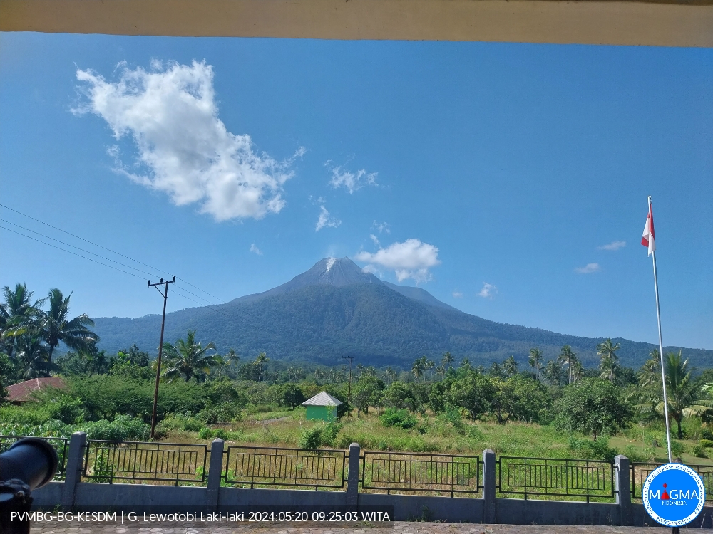
Indonesia , Lewotobi Laki-laki :
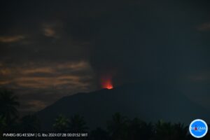
An eruption of Mount Lewotobi Laki-Laki occurred on Monday 20 May 2024 at 09:21 WITA with the height of the ash column observed at ±100 m above the summit (±1684 m above sea level ). The ash column was observed to be white with light to thick intensity, oriented towards the Northeast. At the time of writing, the eruption was still ongoing.
Observation of seismicity:
1 earthquake with an amplitude of 8 mm, and duration of the earthquake of 50 seconds.
2 low-frequency earthquakes with an amplitude of 14.8 to 26.6 mm and an earthquake duration of 40 to 50 seconds.
39 Shallow volcanic earthquakes with an amplitude of 10.5 to 47.3 mm and an earthquake duration of 9 to 12 seconds.
30 deep volcanic earthquakes with an amplitude of 8.1 to 47.3 mm, and an earthquake duration of 9 to 15 seconds.
10 local tectonic earthquakes with an amplitude of 7.4 to 47.3 mm, and an earthquake duration of 20 to 39 seconds.
9 distant tectonic earthquakes with an amplitude of 10.3 to 47.3 mm, and an earthquake duration of 41 to 120 seconds.
RECOMMENDATION
1. Communities around Mount Lewotobi Laki-laki and visitors/tourists do not carry out any activities within a radius of 2 km from the center of the eruption and in a sector of 3 km in the North-North-East direction and from 5 km in the direction of the North-East Sector.
2. The public should remain calm and follow the instructions of the regional government and not believe rumors whose origin is unclear.
Source et photo : Magma Indonésie
Chile , Villarica :
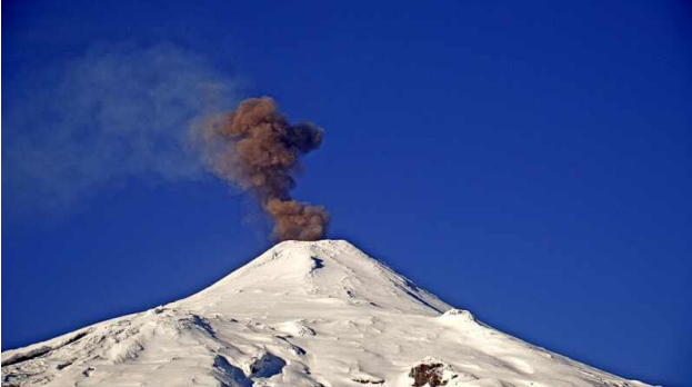
Special Report on Volcanic Activity (REAV), Auracania region, Villarica volcano, May 18, 2024, 9:30 a.m. local time (mainland Chile).
The National Service of Geology and Mines of Chile (Sernageomin) publishes the following PRELIMINARY information, obtained using the monitoring equipment of the National Volcanic Monitoring Network (RNVV), processed and analyzed at the Southern Andean Volcanological Observatory ( Ovdas):
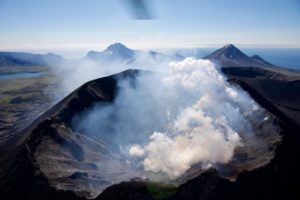
On Saturday May 18, 2024, at 9:11 a.m. local time (1:11 p.m. UTC), monitoring stations installed near the Villarica volcano recorded a column of gas and particulate materials, with a maximum height of 340 m above the crater level, and a preferential dispersion direction in the East-South-East direction.
OBSERVATIONS:
This event had low seismic efficiency given its superficial origin. No noticeable seismicity was recorded, only a background tremor. Monitoring parameters remain stable.
The technical volcanic alert remains at the Yellow level.
Source et photo : Sernageomin.
Colombia , Galeras :
San Juan de Pasto, May 14, 2024, 4:10 p.m. Weekly activity bulletin: Galeras Volcano.
Regarding the monitoring of the activity of the GALERAS VOLCANO, the COLOMBIAN GEOLOGICAL SERVICE (SGC), an entity attached to the MINISTRY OF MINES AND ENERGY, reports that:
For the period from May 7 to 13, 2024, seismicity showed a decrease in occurrence of almost 44% compared to the previous week, this is mainly reflected by the decrease in events linked to the movement of fluids. The predominance of earthquakes linked to the fracture of rocks within the volcanic zone continues, followed by seismicity linked to the transit of fluids within the volcano. The seismic energy released showed levels similar to those reported the previous week.
The earthquakes associated with the fracture of the rock were located scattered around the volcanic edifice, at distances between 0.3 and 7 km, at depths between 1.0 and 10 km relative to its summit (4,200 m above sea level) and a maximum magnitude of 0.7.
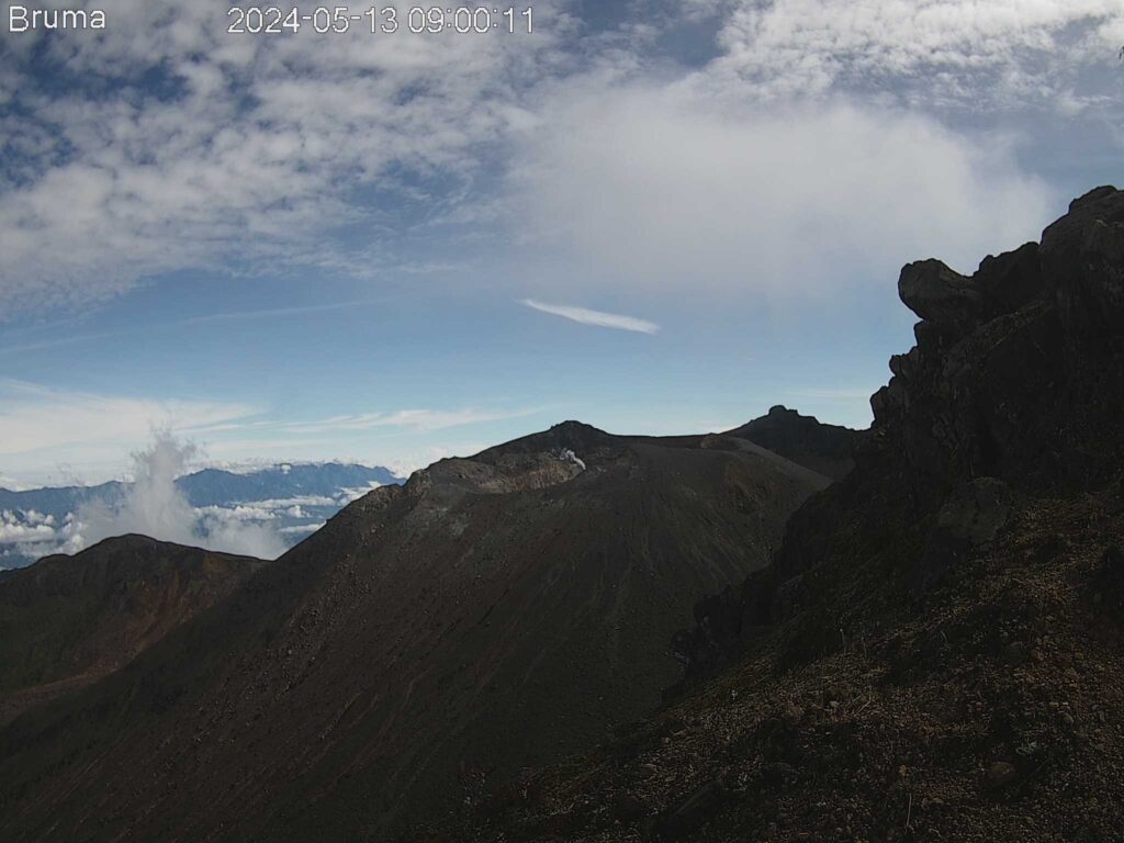
Gas emissions have been observed from the fumarole fields of Las Chavas, to the West; and El Paisita, to the north of the active cone, with white gas columns of low height and variable dispersion due to wind action. Other volcanic monitoring areas showed stability in their recordings.
Volcanic activity remains in a YELLOW ALERT state: Active volcano with changes in the behavior of the base level of monitored parameters and other manifestations.
Source et photo : SGC
Ecuador , Reventador :
DAILY REPORT ON THE STATE OF THE REVENTADOR VOLCANO, Sunday May 19, 2024.
Information Geophysical Institute – EPN.
Surface activity level: High, Surface trend: No changes
Internal activity level: Moderate, Internal trend: No changes
Seismicity: From May 18, 2024, 11:00 a.m. to May 19, 2024, 11:00 a.m.:
Seismicity:
Below is the count of seismic events recorded at the reference station
Explosion (EXP) 55
Long Period (LP) 4
Transmitting Tremor (TREMI) 6
Harmonic Tremor (TRARM) 4
Precipitation/Lahars:
Rains were recorded in the volcano area without generating mudslides or debris. **In the event of heavy rains, these could remobilize the accumulated materials, generating flows of mud and debris which would flow down the sides of the volcano and flow into adjacent rivers.
Emissions/ash column:
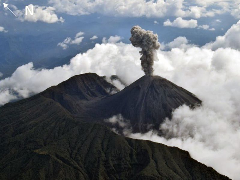
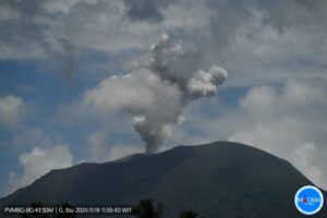
Yesterday afternoon, thanks to the surveillance camera system, 2 emissions of gas and ash were recorded with heights of 500 meters above the level of the crater in the northwest direction. The Washington VAAC has not released any emissions reports for this volcano in the past 24 hours.
Observation:
Over the past 24 hours, the volcano has remained mostly cloudy.
Alert level: Orange
Source : IGEPN.
Photo : F-Naranjo , GVP.
Hawaii , Kilauea :
Sunday, May 19, 2024, 9:12 AM HST (Sunday, May 19, 2024, 19:12 UTC)
19°25’16 » N 155°17’13 » W,
Summit Elevation 4091 ft (1247 m)
Current Volcano Alert Level: ADVISORY
Current Aviation Color Code: YELLOW
Activity Summary:
Kilauea volcano is not erupting. Unrest continues beneath Halemaʻumaʻu, the south caldera, and the upper East Rift Zone.
Summit Observations and Upper East Rift Zone Observations:
Earthquake counts are above background levels. Last night there was an increase in the number of earthquakes under the UNERZ. Over the past day, earthquakes have clustered below the summit and upper East Rift Zone. Earthquake depths have averaged 1–3 km (0.6–1.9 miles) beneath the surface, and magnitudes have been mostly below M2.0. For now, earthquake rates appear to be slowing down, but that could change at any time.
A close-up of the cone formed during the June 2023 eruption, at the southwest end of Halema’uma’u crater, at the summit of Kīlauea. Lava from the vent flowed into a pond, which then drained as the eruption subsided.
Ground deformation continues beneath Halemaʻumaʻu and the south caldera region. The Uēkahuna tiltmeter northwest of the summit showed a deflationary tilt over the past day. At the same time, the Sand Hill tiltmeter southwest of the summit showed flat tilt.
Sulfur dioxide (SO2) gas emission rates remain low. An SO2 emission rate of approximately 62 tonnes per day was recorded on May 2.
Rift Zone Observations:
Elevated seismic activity in the Upper East Rift Zone is scattered along this zone. Currently, seismicity in Kilauea’s Southwest Rift Zone is relatively low outside the summit region. Measurements from continuous gas monitoring stations downwind of Puʻuʻōʻō in the middle East Rift Zone remain below detection limits for SO2, indicating that SO2 emissions from Puʻuʻōʻō are negligible.
Source : HVO
Photo : USGS / M. Patrick.

