December 05 , 2023.
Indonesia , Anak Krakatau :
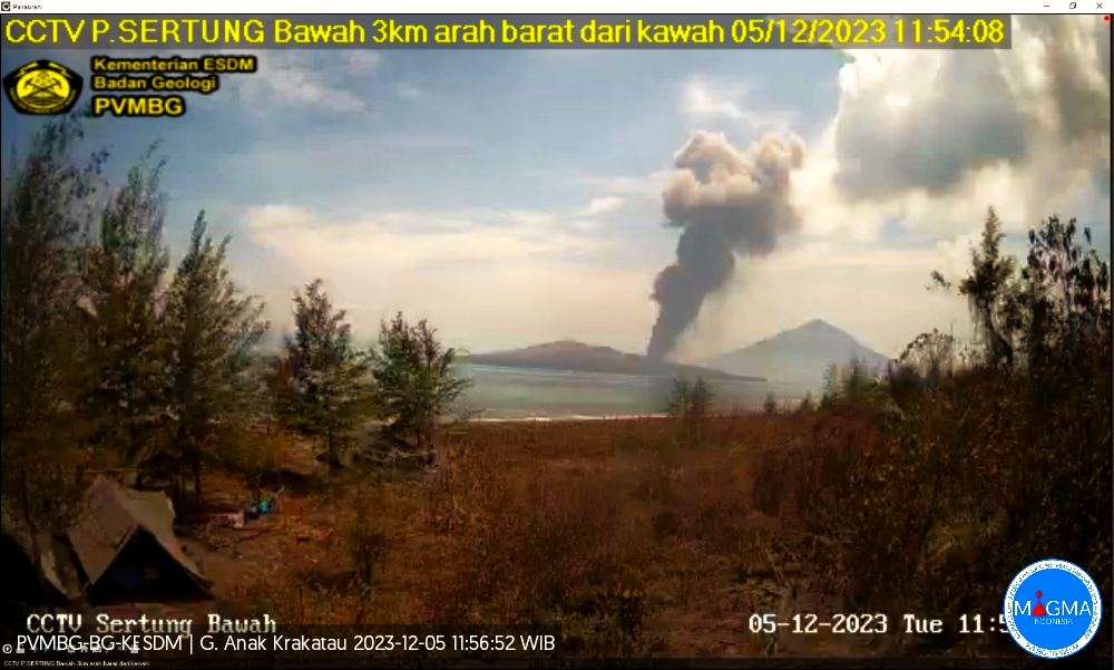
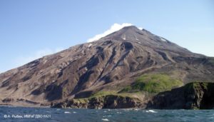
An eruption of Mount Anak Krakatau occurred on Tuesday, December 5, 2023 at 11:51 WIB. The height of the eruptive column was observed to be ±500 m above the peak (±657 m above sea level). The ash column was observed to be black with thick intensity, oriented towards the Northwest. The eruption was recorded on a seismograph with a maximum amplitude of 44 mm and a duration of 87 seconds.
VOLCANO OBSERVATORY NOTICE FOR AVIATION – VONA
Issued : December 05 , 2023
Volcano : Anak Krakatau (262000)
Current Aviation Colour Code : ORANGE
Previous Aviation Colour Code : orange
Source : Anak Krakatau Volcano Observatory
Notice Number : 2023KRA114
Volcano Location : S 06 deg 06 min 07 sec E 105 deg 25 min 23 sec
Area : Lampung, Indonesia
Summit Elevation : 502 FT (157 M)
Volcanic Activity Summary :
Eruption with volcanic ash cloud at 04h51 UTC (11h51 local).
Volcanic Cloud Height :
Best estimate of ash-cloud top is around 2102 FT (657 M) above sea level or 1600 FT (500 M) above summit. May be higher than what can be observed clearly. Source of height data: ground observer.
Other Volcanic Cloud Information :
Ash cloud moving to northwest. Volcanic ash is observed to be dark. The intensity of volcanic ash is observed to be thick.
Remarks :
Eruption recorded on seismogram with maximum amplitude 44 mm and maximum duration 87 second.
Source et photo : Magma Indonésie
Colombia , Nevado del Ruiz :
Manizales, December 4, 2023, 4:50 p.m.
From the monitoring of the activity of the NEVADO DEL RUIZ VOLCANO, the MINISTRY OF MINES AND ENERGY through the COLOMBIAN GEOLOGICAL SERVICE (SGC) reports that:
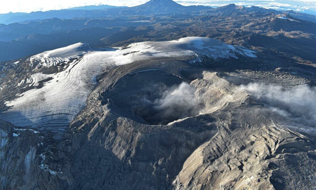
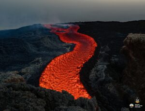
In recent days, from the different satellite monitoring platforms, several reports have been obtained on the thermal anomaly existing at the bottom of the Arenas crater, which record low to moderate energy levels. Today, December 4, one of them exceeded the maximum value detected since this parameter was monitored on the volcano (2007). Likewise, in recent months it has been observed that thermal anomalies persist with moderate energy levels, showing a progressive trend towards slightly higher values. It should be remembered that the highest values of thermal anomalies were observed in 2015 (during the process of exiting the lava dome at the bottom of the crater), in 2017 (related to the growth of this same dome) and in this year , in April (when the volcano was on orange alert) and in October.
Although all these changes in the activity of the volcano are considered within the framework of the yellow alert state and reflect its variable and unstable behavior, it is important not to
normalize them. Although this state of alert for volcanic activity indicates that the volcano presents less instability and, therefore, the probability of a considerable eruption is lower, at any time it can destabilize rapidly, which would lead to move to an orange or even red alert state. .
The community is recommended to remain calm and pay attention to the information provided by the Colombian Geological Service on the evolution of the state of the volcano.
The alert status of the volcano remains at YELLOW ALERT: ACTIVE VOLCANO WITH CHANGES IN THE BEHAVIOR OF THE BASE LEVEL OF MONITORED PARAMETERS AND OTHER MANIFESTATIONS
Source and photo : SGC
Costa Rica , Poas :
Latitude: 10.2
Length: -84233
Altitude: 2,687 meters above sea level
Activity observed:
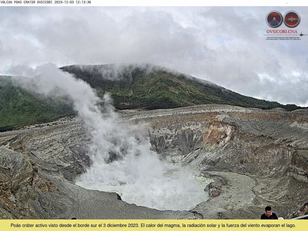
No outbreaks have been recorded in the last 24 hours. The volcanic tremor remains of medium intensity and with a frequency band around 1.8 Hz. The lake level has decreased significantly compared to the level observed on November 16, 2023. The decrease in the lake level results in an invigoration of the underwater fumaroles due to the reduction in hydrostatic pressure exerted by the water column. The loss of lake volume is increased by the effects of greater solar radiation and greater wind speed at the lake surface (skin effects). Several underwater fumaroles can be seen as vigorous gushes. The lake has turned milky gray since the last week of November and is showing strong evaporation today, December 3.
The ExpoGAS SO2 gas detection system located south of the active crater at Visitor Viewpoint detected up to a maximum of 2 parts per million SO2 this morning with the wind heading south to where the ExpoGAS detector is located. Since December 2, the MultiGAS detection system located on the western edge of the active crater has recorded an increase in the concentration of SO2 with maximums between 10 and 20 parts per million and at the same time a decrease in the CO2/SO2 ratios (around 0. 4 when typical values are close to 1).
Environmental conditions:
The air masses at the summit of the volcano move towards the South-West at 42 km/h (IMN).
Activity Level: Warning (2)
Source et photo : Ovsicori .
Ecuador , Reventador :
DAILY REPORT ON THE STATE OF THE REVENTADOR VOLCANO, Monday December 4, 2023.
Information Geophysical Institute – EPN.
Surface activity level: Moderate, Surface trend: No changes
Internal activity level: Moderate, Internal trend: No changes
Seismicity: From December 3, 2023, 11:00 a.m. to December 4, 2023, 11:00 a.m.:
The following table shows the number of seismic events from the reference station in the last 24 hours.
Explosion (EXP) 62
Long Period (LP) 10
Transmitting Tremor (TREMI) 12
Harmonic Tremor (VT) 8
Precipitation/Lahars:
Rainfall is not recorded. **In the event of heavy rains, these could remobilize the accumulated materials, generating mud and debris flows which would descend the sides of the volcano and flow into adjacent rivers.
Emissions/ash column:
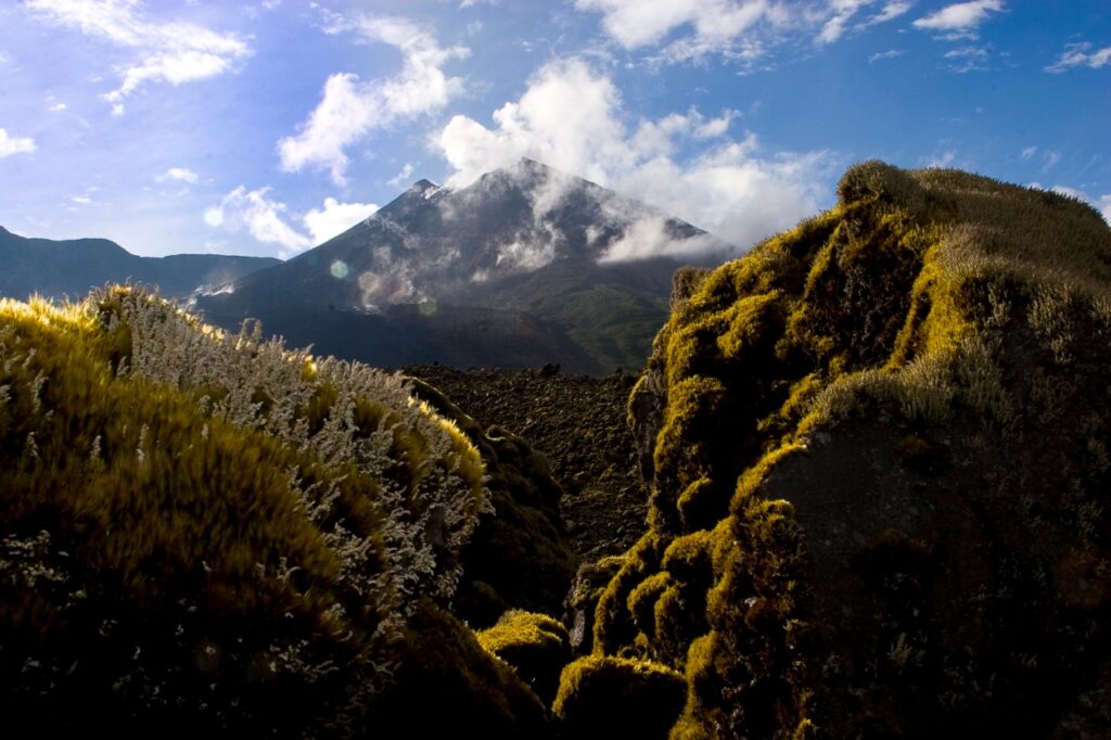
From yesterday afternoon until today morning, thanks to the surveillance camera system, two emissions of gas and ash were recorded with heights between 600 and 900 meters above the level of the crater in the directions North-East and North-West. Additionally, the Washington VAAC reported two gas and ash emissions with heights of 1,010 meters above the crater level in a northwest direction.
Other monitoring parameters:
The MIROVA-MODIS satellite system recorded 1 weak thermal anomaly and the MIROVA-VIIRS satellite system recorded 1 weak thermal anomaly during the last 24 hours.
Observation:
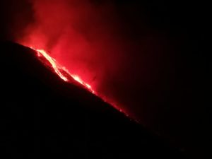
During the night of yesterday and early today, an incandescence was observed at the level of the crater. Since yesterday afternoon and until the publication of this report, the volcano has remained mostly cloudy.
Alert level: Orange.
Source : IGEPN.
Photo : Volcan Reventador FB
Japan , Iwo Jima :
New island created by eruption off Iwo Jima grows ‘Shape changes in short time’ December 4, 2023, 8:00 p.m.
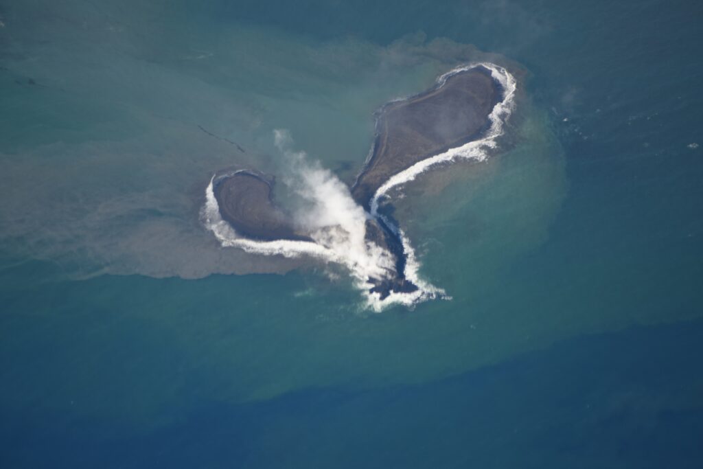
The new island created by continued eruptions off Iwo Jima in the Ogasawara Islands is expanding and approaching Iwo Jima, confirmed by NHK footage. An expert who accompanied us pointed out: “An interesting phenomenon occurs in which the shape of the island changes in a short time due to the conflict between ejecta accumulation and erosion caused by waves. »
On Iwo Jima, an eruption occurred just off the coast to the south of the island in late October of this year, and at one point a volcanic plume containing black earth was observed rising about 200 meters above the sea surface, and a new island up to 450 meters long was created by rocks and other debris.
NHK filmed the activity off Iwo Jima from the air on December 4 and found that eruptions occurred every few minutes from the crater beneath the sea surface, sending black plumes rising up at a height of approximately 100 meters.
In addition, the island, which had a round shape in October, transformed from north to south into a long and thin shape, stretching 500 meters long and resembling the letter « J », with the tip about 200 meters off the coast of Iwo Jima.
The surface of the new island was covered in brown volcanic ash and boulders, and the surrounding sea had green and brown colors with floating pumice stones.
Source : NHK.or.jp
Photo : Gardes cotes Japonais.

