April 08 , 2023.
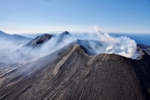
Italy , Stromboli :
Statement on Stromboli activity, 07 April 202 13:38 (11:38 UTC).
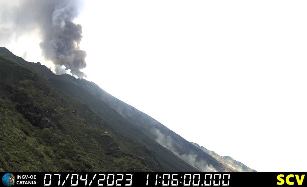
The National Institute of Geophysics and Volcanology, Osservatorio Etneo, communicates that at 11:03 UTC an explosion with an intensity greater than ordinary activity was observed from the images of the video surveillance network. The event was produced by the Center-South zone of the crater terrace, a second explosive episode took place at 11:04 with less intensity. Some ballistic projections fell along the Sciara del fuoco.
At 11:03 a.m., the seismic network stations recorded a sequence of certain events associated with the explosion reaching very high amplitude values.
After the explosion, the amplitude of the volcanic tremor returned to the values recorded before the explosive episode, which oscillate between low and medium.
There are no significant variations in the permanent GPS network deformation data.
Further updates will be communicated soon.
Source : INGV.
Colombia , Nevado del Ruiz :
Manizales, April 7, 2023 9:45 a.m.
Regarding the monitoring of the activity of the NEVADO DEL RUIZ VOLCANO, the MINISTRY OF MINES AND ENERGY through the COLOMBIAN GEOLOGICAL SERVICE (SGC) informs that:
The recording of seismicity associated with the fracturing of the rock inside the volcanic edifice continues. Yesterday April 6, 3,100 events were recorded, reaching a maximum magnitude of 2.9 ML, corresponding to the 4:53 p.m. earthquake. This seismic activity remains localized in the southwestern sector of the volcanic edifice, at depths between 2 and 4 km, at a distance from the crater, less than yesterday. So far today, April 7 (9 a.m.), about 1,500 earthquakes have been recorded.
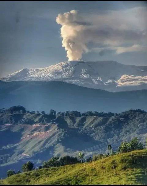
The seismic activity related to the movement of fluids inside the volcanic conduits has been associated with several pulsatile and continuous emissions of ash which have been confirmed by the web cameras used for volcanic monitoring and by the reports of the inhabitants of the different sectors of the municipality of Murillo (Tolima). The maximum height of the column of gas and / or ash observed was 1200 m, measured from the summit of the volcano with a preferential direction of dispersion towards the Southeast. The emission of sulfur dioxide into the atmosphere remains at levels similar to those observed in previous days. There have been reports of several thermal anomalies located within Arenas Crater, with one reaching the highest value recorded since 2017.
It is important to emphasize that the activity of the volcano at LEVEL ORANGE can fluctuate and sometimes decrease compared to previous days, without this meaning that it has returned to a level of lower activity. To change the level and return to the yellow level, a prudential time is required where trends and patterns can be observed that allow us to deduce the possible decrease in activity, which is why it is warned that the level of activity of the Nevado del Ruiz volcano will remain at the ORANGE LEVEL for several weeks. Meanwhile, if there is an acceleration of processes suggesting an impending eruption or the eruption itself occurring, the activity level will turn red.
The community is recommended to remain calm and follow all instructions from the National Disaster Risk Management Unit (UNGRD) and local authorities, as well as to be attentive to the information provided by the Colombian Geological Service on the evolution of the state of the volcano.
The COLOMBIAN GEOLOGICAL SERVICE will continue to be attentive to the evolution of the volcanic phenomenon and will provide timely information on any changes that may occur.
The level of activity of the volcano remains at the ORANGE LEVEL of activity or (II): PROBABLE ERUPTION IN TERM OF DAYS OR WEEKS
Source : SGC.
Photo : Wilfred Hernandez
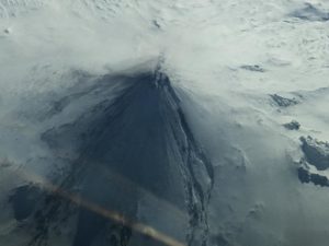
Kamchatka , Bezymianny :
VOLCANO OBSERVATORY NOTICE FOR AVIATION (VONA)
Issued: April 07 , 2023
Volcano: Bezymianny (CAVW #300250)
Current aviation colour code: ORANGE
Previous aviation colour code: red
Source: KVERT
Notice Number: 2023-50
Volcano Location: N 55 deg 58 min E 160 deg 35 min
Area: Kamchatka, Russia
Summit Elevation: 2882 m (9452.96 ft)
Volcanic Activity Summary:
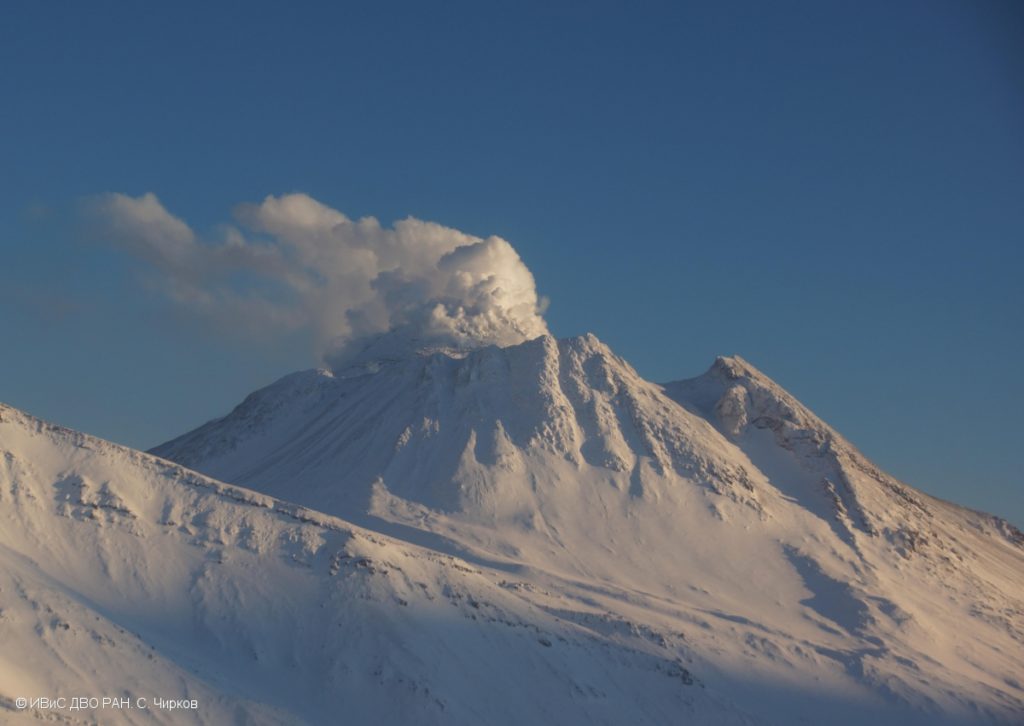
A strong explosive eruption ended. Ash plume extended about 2000 km to the east from the volcano. Probably, a new block of lava is squeezed out on the lava dome, it’s accompanied by the avalanches.
An extrusive-effusive eruption of the volcano continues. Ash explosions up to 6-7 km (19,700-23,000 ft) a.s.l. could occur at any time. Ongoing activity could affect international and low-flying aircraft
Volcanic cloud height: NO ASH CLOUD PRODUSED
Other volcanic cloud information: NO ASH CLOUD PRODUSED
Source : Kvert.
Photo : S. Chirkov, IVS FEB RAS
Vanuatu , Ambae :
You never get bored in Vanuatu.
The volcano on Ambae Island suddenly erupted yesterday. These photos were taken on the island of Espiritu Santo, about 65 kilometers from Ambae. The last photo is taken the day after the eruption.
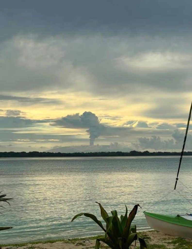
Residents of the north and east coasts of Ambae are doing well, local chief Paul confirmed from Ambanga, a village near the Manaro volcano.
He said everyone was enjoying the kava watching the eruption; the volcano is part of their life.
There were no reports of ash fall.
There was no feedback from residents of South Ambae. Hope they are well too.
Sources : Mayumi Green and Tatum José
Indonesia , Semeru :
VOLCANO OBSERVATORY NOTICE FOR AVIATION – VONA
Issued : April 08 , 2023
Volcano : Semeru (263300)
Current Aviation Colour Code : ORANGE
Previous Aviation Colour Code : orange
Source : Semeru Volcano Observatory
Notice Number : 2023SMR122
Volcano Location : S 08 deg 06 min 29 sec E 112 deg 55 min 12 sec
Area : East java, Indonesia
Summit Elevation : 11763 FT (3676 M)
Volcanic Activity Summary :
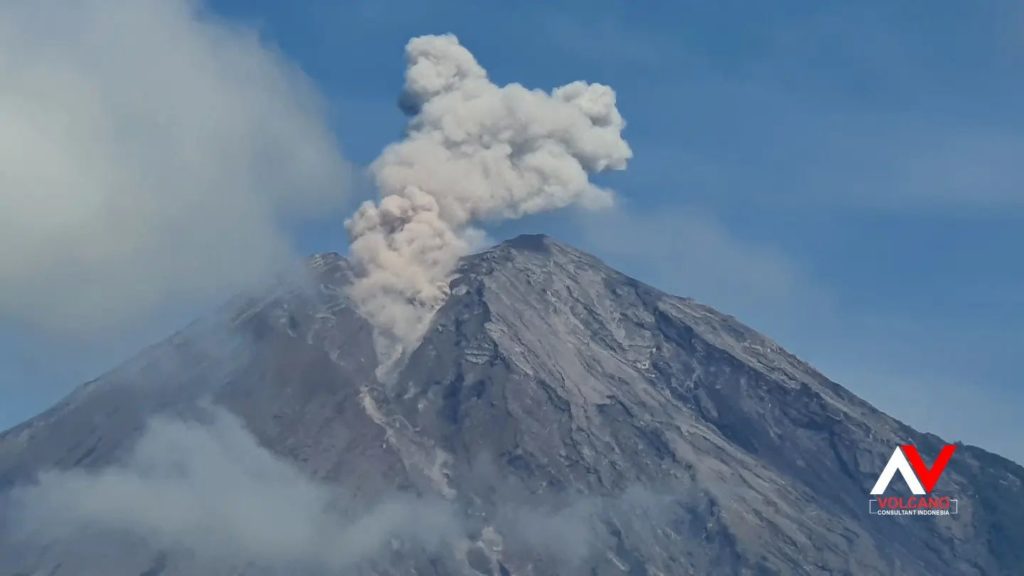
Eruption with volcanic ash cloud at 00h32 UTC (07h32 local).
Volcanic Cloud Height :
Best estimate of ash-cloud top is around 13683 FT (4276 M) above sea level or 1920 FT (600 M) above summit. May be higher than what can be observed clearly. Source of height data: ground observer.
Other Volcanic Cloud Information :
Ash cloud moving to north. Volcanic ash is observed to be white to gray. The intensity of volcanic ash is observed to be thick.
Remarks :
Eruption recorded on seismogram with maximum amplitude 20 mm and maximum duration 110 second.
Source : Magma Indonésie .
Photo : Andi volcanist

