June 20 , 2022.
New Zealand , Ruapehu :
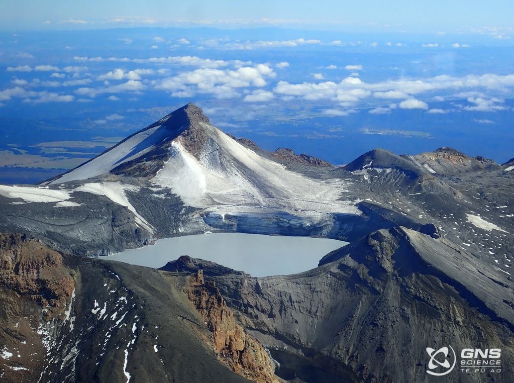
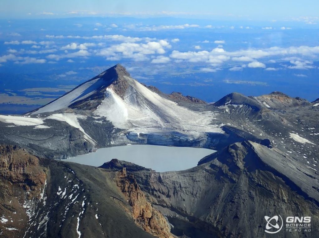
A brief period of strong volcanic tremor was recorded over the weekend and Crater Lake temperature has stabilised. The Volcanic Alert Level remains at Level 2.
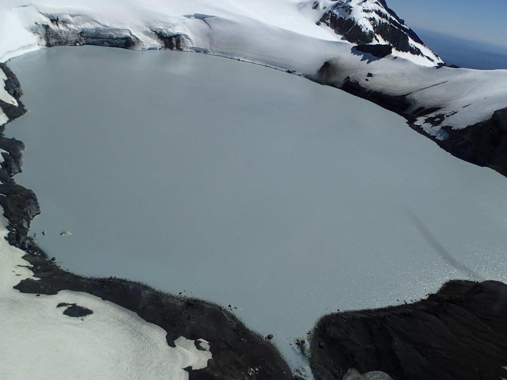
For about three weeks, tremor levels had been weak-to-moderate. On Friday evening (17 June), volcanic tremor increased sharply and fluctuated between moderate and strong levels over the weekend. Since Sunday 19 June, volcanic tremor returned to weak levels at Mt Ruapehu. Crater Lake (Te Wai ā-moe) temperature had been decreasing at a rate of ~ 0.5 °C per day until it stabilised on the weekend and is now 22 °C. This is consistent with an increase of heat flow into the lake to approximately 130 MW.
The return of moderate-to-strong volcanic tremor and stabilisation of Crater Lake temperature are consistent with a continued period of moderate volcanic unrest at Mt Ruapehu. We will carry out a gas measurement flight and Crater Lake sampling when the weather allows. As noted last week, the level of unrest is now considered moderate rather than heightened, however the potential for eruptive activity remains.
Within the next three weeks, the most likely outcome of the ongoing unrest is no eruption. Minor eruptive activity, confined to the lake basin, is also possible, which could generate lahars (volcanic mudflows) in the Whangaehu River.
The next likely scenario is an eruption that impacts the summit plateau with volcanic surges. That event could generate lahars in multiple catchments, like what was seen after the September 2007 eruption. An eruption of this size would cause life-threatening hazards on the summit plateau and in valleys impacted by lahars.
The chance of a prolonged eruptive episode or a larger eruption, with wider ashfall impacts such as occurred in 1995-96, is higher than it was before the start of elevated unrest in March 2022, but within the next three weeks, this scenario remains very unlikely. Such an eruption would most likely only follow a sequence of smaller eruptions.
The increased tremor over the weekend highlights the variability and significant uncertainty about the state of the volcanic process that has been driving the current unrest period. Our interpretation of the observational data and activity is, therefore, still consistent with moderate volcanic unrest and therefore the Volcanic Alert Level remains at Level 2. The Aviation Colour Code remains at Yellow.
Mt Ruapehu is an active volcano and has the potential to erupt with little or no warning when in a state of moderate volcanic unrest.
Source : Geonet / Geoff Kilgour / Duty Volcanologist.
Photos : Geonet.
Kamchatka , Sheveluch :
VOLCANO OBSERVATORY NOTICE FOR AVIATION (VONA)
Issued: June 19 , 2022
Volcano: Sheveluch (CAVW #300270)
Current aviation colour code: ORANGE
Previous aviation colour code: orange
Source: KVERT
Notice Number: 2022-52
Volcano Location: N 56 deg 38 min E 161 deg 18 min
Area: Kamchatka, Russia
Summit Elevation: 3283 m (10768.24 ft), the dome elevation ~2500 m (8200 ft)
Volcanic Activity Summary:
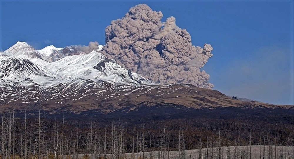
A growth of the lava dome continues, a strong fumarolic activity, and an incandescence of the lava dome, explosions, and hot avalanches accompanies this process. Video data by KVERT showed an ash plume up to 7 km a.s.l. extending to the from the volcano.
The extrusive eruption of the volcano continues. Ash explosions up to 10-15 km (32,800-49,200 ft) a.s.l. could occur at any time. Ongoing activity could affect international and low-flying aircraft.
Volcanic cloud height:
6500-7000 m (21320-22960 ft) AMSL Time and method of ash plume/cloud height determination: 20220619/2047Z – Video data
Other volcanic cloud information:
Distance of ash plume/cloud of the volcano: 10 km (6 mi)
Direction of drift of ash plume/cloud of the volcano: E
Time and method of ash plume/cloud determination: 20220619/2047Z – Video data
Start time of explosion and how determined: 20220619/2047Z – Video data
Source : Kvert.
Photo : Yu Demyanchuck ( archive).
Indonesia , Ili Lewotolok :
VISUAL OBSERVATION
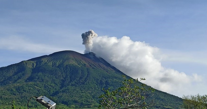
The volcano was clearly visible until it was covered by fog. Smoke from the crater is white/grey in color with moderate to high intensity about 100-300 meters above the summit. The weather is sunny, the wind is weak to moderate from West and North-West. The air temperature is about 20.9-29.6°C. Humidity 69.9-82.7%.
SEISMICITY OBSERVATION.
It was recorded:
10 earthquakes of eruptions/explosions with an amplitude of 12.7 to 33.1 mm and a duration of 34 to 96.8 seconds.
75 emission earthquakes with an amplitude of 2.5 to 29.4 mm and a duration of 22.2 to 113.4 seconds.
16 non-harmonic tremors with an amplitude of 1.7 to 13.8 mm and a duration of 79.3 to 252.4 seconds.
1 continuous tremor with an amplitude of 0.5 mm, dominant value of 0.5 mm.
RECOMMENDATION
[1] Based on the results of a thorough analysis and assessment, on June 14, 2022, the activity level of the Ili Lewotolok volcano is still at level III (SIAGA) with new recommendations adapted to the latest potential dangers .
[2] At Level III (Siaga) activity level, people around Mount Ili Lewotolok as well as visitors/climbers/tourists are recommended not to carry out activities within 3 km of the summit / crater of Mount Ili Lewotolok, 3.5 km radius for the South-East sector, a radius of 4 km for the East and North-East sectors. Residents of Lamawolo Village, Lamatokan Village and Jontona Village should always be aware of the potential threat of incandescent lava and hot clouds from the eastern part of the G. Ili Lewotolok summit/crater.
Source et photo : Magma Indonésie .
Hawaii , Mauna Loa :
19°28’30 » N 155°36’29 » W,
Summit Elevation 13681 ft (4170 m)
Current Volcano Alert Level: ADVISORY
Current Aviation Color Code: YELLOW
Activity Summary:
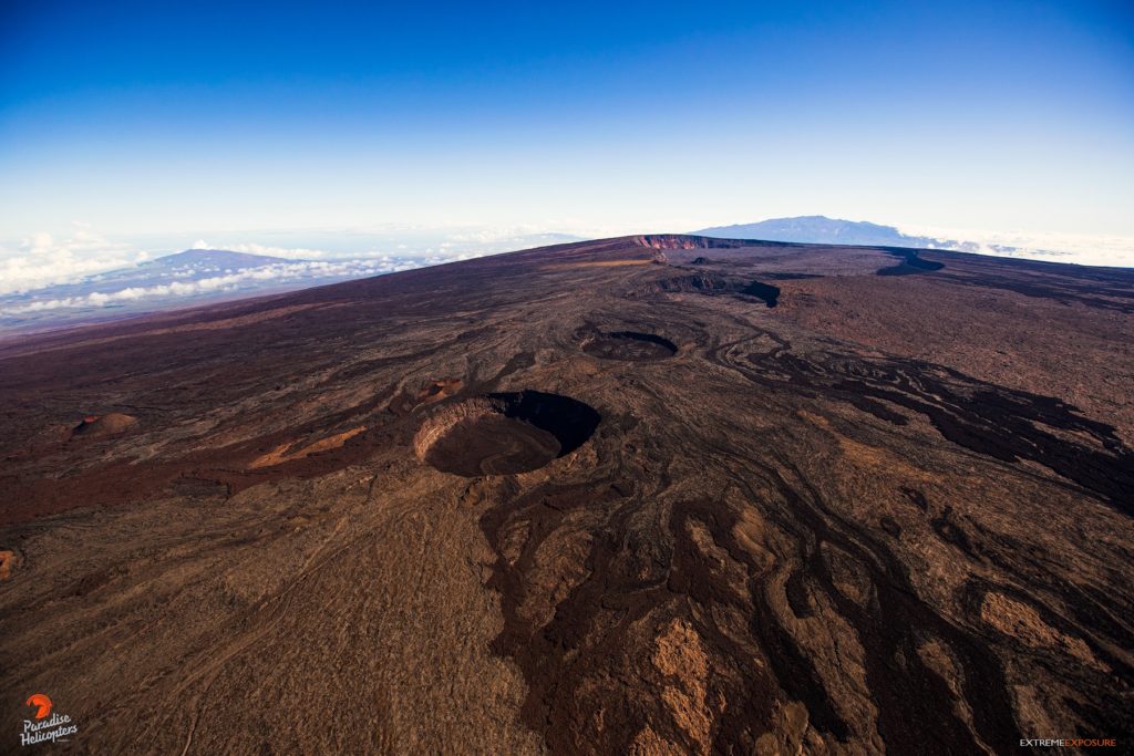
Mauna Loa Volcano is not erupting. Rates of seismicity remain slightly elevated above long-term background levels, but have not changed significantly over the past week. Other Mauna Loa monitoring data streams—ground deformation, gas concentrations, visual appearance in webcams—show no significant changes.
Observations:
During the past week, HVO seismometers recorded approximately 26 small-magnitude (below M3.0) earthquakes below the summit and upper-elevation flanks of Mauna Loa. All of these earthquakes occurred at shallow depths less than 15 kilometers (9 miles) below sea level.
Global Positioning System (GPS) measurements show low rates of deformation in the volcano’s summit region continuing through the past week.
Concentrations of sulfur dioxide (SO2), hydrogen sulfide (H2S), and carbon dioxide (CO2), as well as fumarole temperatures, remain stable at both the summit and at Sulphur Cone on the upper Southwest Rift Zone.
Webcam views have shown no changes to the volcanic landscape on Mauna Loa over the past week.
Source : HVO.
Photo : Bruce Omori.
Costa Rica , Turrialba / Poas / Rincon de la Vieja :
Daily report of the state of volcanoes. Date: June 19, 2022. Updated at: 10:51:00.
Turrialba Volcano
No eruption reported.
Seismic activity is similar, compared to yesterday.
At the time of this report, the winds are blowing westerly.
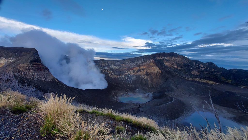
No prolonged volcanic eruption or tremor is recorded. The fumaroles in the West Crater remain active. Seismicity shows frequent volcanic earthquakes of low frequency and low magnitude. The volcanic building was maintained with a slight deflation.
Poas Volcano
No eruption reported.
Seismic activity is similar, compared to yesterday.
At the time of this report, the winds are blowing westerly.
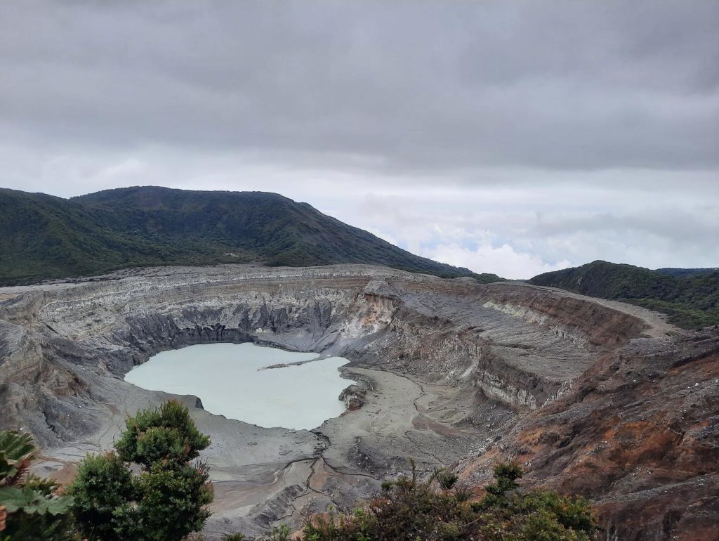
No volcanic eruption or tremor is recorded. The fumaroles on the inner walls of the crater remain active. Small, low frequency volcanic earthquakes continue to be recorded in numbers close to 200 per day. The maximum SO2 concentration at the lookout was below 3 parts per million at 8 a.m., while the ratio of CO2 to SO2 remains below a value of 5. The volcanic edifice remains stable with a slight subsidence at the top .
Rincon de la Vieja Volcano
No eruption reported.
Seismic activity is lower than yesterday.
At the time of this report, the winds are blowing to the southwest.
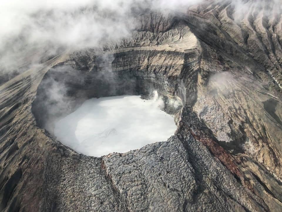
No eruptions recorded. The tremor is weak and intermittent with frequencies between 2 and 5 Hz. Few low frequency and very low amplitude volcanic earthquakes are recorded.
Source : Ovsicori
Photos : Parque Nacional , New Summit Academy Costa Rica , Chris Allen.

