February 12 , 2022.
Italy / Sicily , Etna :
Communication on ETNA activity, February 11, 2022, 11:07 (10:07 UTC).
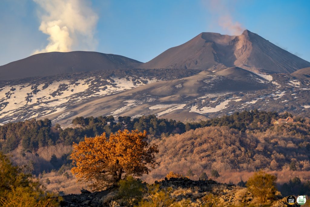
The National Institute of Geophysics and Volcanology, Osservatorio Etneo announces that after the end of the paroxysmal activity reported in the previous press releases (n°534-539), a weak and discontinuous intra-crater explosive activity persists, which produces a weak emission of ash, dispersed in the atmosphere in the northwestern sector of the volcano.
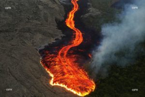
The lava flow of the Southeast Crater seems to no longer feed and cool.
The front reached an altitude estimated, from ground observations, at about 2850 m above sea level, west of Monte Frumento Supino. From the breach on the southern flank of the Southeast Crater, from which the pyroclastic flow described in press release n°538 originated, small collapses of unstable materials are still observed, with the consequence of small ash emissions.
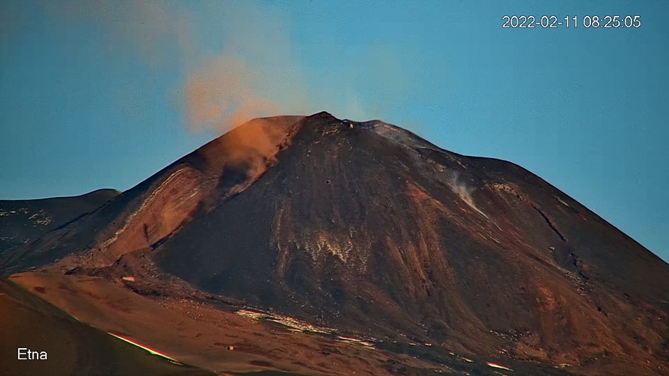
Falls of pyroclastic materials produced by the paroxysmal activity have been reported in the inhabited areas of the northwest quadrant of the volcanic edifice (in particular in Maletto) and up to the Tyrrhenian coast of Sicily, in S. Agata di Militello and Capo from Orlando.
The average amplitude of the volcanic tremor currently shows a fairly stationary trend on average values and sources located in correspondence with the central craters, at an altitude of about 2800 m. The rate of occurrence of infrasound events is medium, with sources mainly located in the Bocca Nuova crater area.
After the variations observed in the time series of the tilt network (in particular at the Cratere del Piano station), the signals from the ground deformation monitoring networks (tilt and GNSS) no longer showed significant variations.
February 11, 2022, 11:58 (10:58 UTC).
The National Institute of Geophysics and Volcanology, Osservatorio Etneo announces that from 10:25 UTC there is a thermal anomaly located at the Southeast base of the Southeast Crater at about 3000 m altitude, in correspondence with which a modest amount of ash is emitted.
Further updates will be communicated soon.
Source : INGV
Photo : Sergio Scornavacche via Boris Behncke , Giuseppe Distefano .
Alaska , Great Sitkin :
52°4’35 » N 176°6’39 » W,
Summit Elevation 5709 ft (1740 m)
Current Volcano Alert Level: WATCH
Current Aviation Color Code: ORANGE
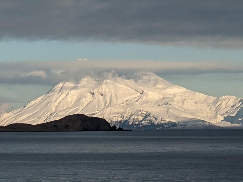
Lava effusion from a vent within the summit crater of Great Sitkin Volcano likely continues at a slow rate. The overall level of seismicity is very low. Weakly to moderately elevated surface temperatures consistent with lava effusion were detected in satellite data when the volcano was not obscured by cloud cover. A robust gas plume was observed on a few occasions in clear webcam views during the past week.
Steam and lava flows at Great Sitkin, photographed from Adak by Sarah Welter on January 14, 2022.
Erupted lava has overtopped the summit crater rim and is flowing into small valleys on the south, west, and north flanks of the volcano. The terrain is steep in these areas, and blocks of lava could detach from the terminus of the flow lobes without warning and form small rock avalanches in these valleys. Such avalanches may liberate ash and gas and could travel several hundred meters beyond the lava flows; they would be hazardous to anyone in those areas.
Great Sitkin is monitored by local seismic and infrasound sensors, satellite data, web cameras, and remote infrasound and lightning networks.
Great Sitkin Volcano is a basaltic andesite volcano that occupies most of the northern half of Great Sitkin Island, a member of the Andreanof Islands group in the central Aleutian Islands. It is located 26 mi (43 km) east of the community of Adak.
Source : AVO.
Photo : Welter, Sarah.
Indonesia , Merapi :
Merapi activity report from February 4 to 10, 2022.
– The weather around Mount Merapi is generally sunny in the morning and evening, while it is foggy in the afternoon.
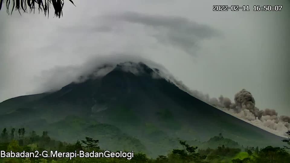
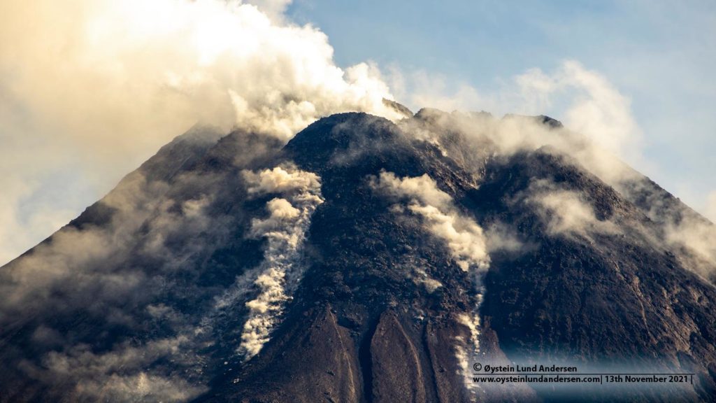
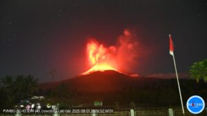
– This week, 3 hot avalanche clouds were observed in the southwest, upstream of the Bebeng River with a slip distance of 1,800-2,000 m. Ash rains were reported on February 6, 2022, among others in the districts of Cangkringan, Sleman and Musuk, Boyolali. Lava avalanches were observed 133 times to the southwest, descending the Bebeng River with a maximum slip distance of 2,000 m.
– Based on the morphological analysis, no significant morphological changes were observed in either the Southwest lava dome or the central dome. The volume of the Southwest lava dome is 1,670,000 m3 and the central dome is 3,007,000 m3.
– The intensity of seismicity this week is still quite high. It was recorded:
Volcanic earthquakes linked to magma and tectonic activity:
– 3 earthquakes of hot cloud avalanches.
– 156 avalanche earthquakes
– 2 emissions earthquake
– 1 hybrid/multi-phase earthquake
– 1 shallow volcanic earthquake
Mount Merapi’s deformation, which was monitored using EDM this week, showed a distance shortening rate of 0.7 cm/day.
– The rainfall intensity was 43 mm/hour for 25 minutes at Pos Babadan on February 6, 2022. No lahar or additional flow was reported in the rivers that originate on Mount Merapi.
Findings:
1. The volcanic activity of Mount Merapi is still quite high in the form of effusive eruption activity. The state of the activity is defined at the « SIAGA » level.
2. The current potential danger is lava avalanches and hot clouds in the South-South-West sector covering the Boyong River for a maximum of 5 km, the Bedog River, Krasak, Bebeng for a maximum of 7 km. The Southeast sector covers the Woro River for a maximum of 3 km and the Gendol River for a maximum of 5 km. Meanwhile, the ejection of volcanic material in the event of an explosive eruption can reach a radius of 3 km from the summit.
Sources : BPPTKG, PVMBG.
Photos : Webcam , Oystein Lund Andersen.
Ecuador , Sangay :
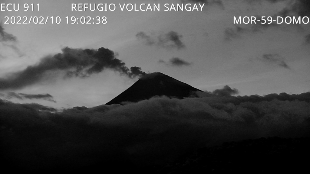
DAILY REPORT OF THE STATE OF SANGAY VOLCANO. February 11, 2022.
Surface activity level: High, Surface trend: No change.
Internal activity level: High, Internal trend: No change.
Seismicity: From February 10, 2022, 11:00 a.m. to February 11, 2022, 11:00 a.m.:
Explosion-type events (EXP): 93
Long period type events (PL): 23
Emission Tremors (TREMI): 60
Harmonic Tremors (TRARM): 2
Lahar (HL): 2
Rains / Lahars:
Light rain was recorded in the volcano area. **In the event of heavy rains, these could remobilize the material accumulated in the gullies, generating mudslides and debris that would descend through the drains of the volcano and flow into the adjacent rivers.**
Emission / ash column:
During yesterday afternoon and early today, various emissions of steam, gas with some ash were observed with heights between 1170 and 1600 meters above the level of the crater, the directions varied between the North-West and the South-West.
Other Monitoring Parameters:
No thermal alert has been recorded on the Sangay in the last 24 hours.
Observation:
Yesterday evening, a report was received from SNGRE on light ash falls in the canton of Guamote, province of Chimborazo. For the moment, the volcano area remains cloudy.
Alert level: yellow.
Source et photo : IGEPN.
Guatemala , Santiaguito :
Activity:
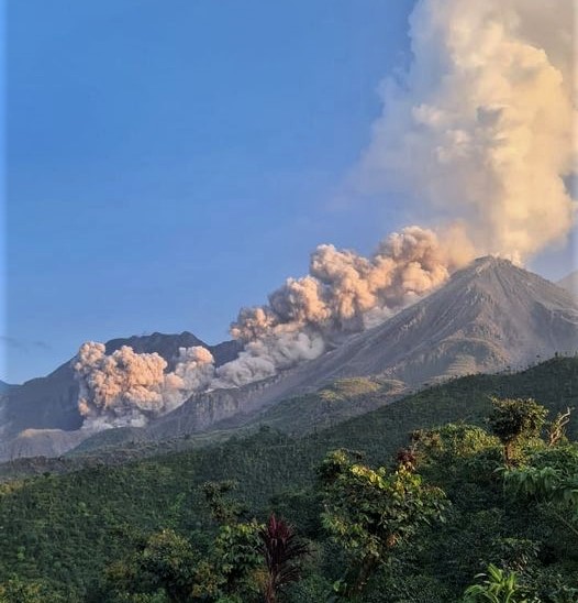
Seismic stations and observer reports record prolonged periods of degassing, with short pulses of increase forming a column of gas 500 meters above Caliente Dome and moving southwest. Moderate avalanches mainly affected the southwest and west flanks. This causes fine ash particles to fall into the volcanic perimeter.
Weak characteristic explosions are possible, generating moderate avalanches and audible sounds several kilometers from the volcanic edifice. Due to the permanent extrusion of block lava from the Caliente dome, in a West-South-West direction, the occurrence of a higher number of block and ash avalanches cannot be excluded, as well as possible pyroclastic flows over long distances in different directions. The recommendations of the special bulletin BESAN 003-2022 are still valid.
Source : Insivumeh.
Photo : Edgar Cabrera / CONRED

