Monday March 01 , 2021.
Italy / Sicily , Etna :
PRESS RELEASE ON ETNA’S ACTIVITY, February 28, 2021, 15:26 (14:26 UTC)
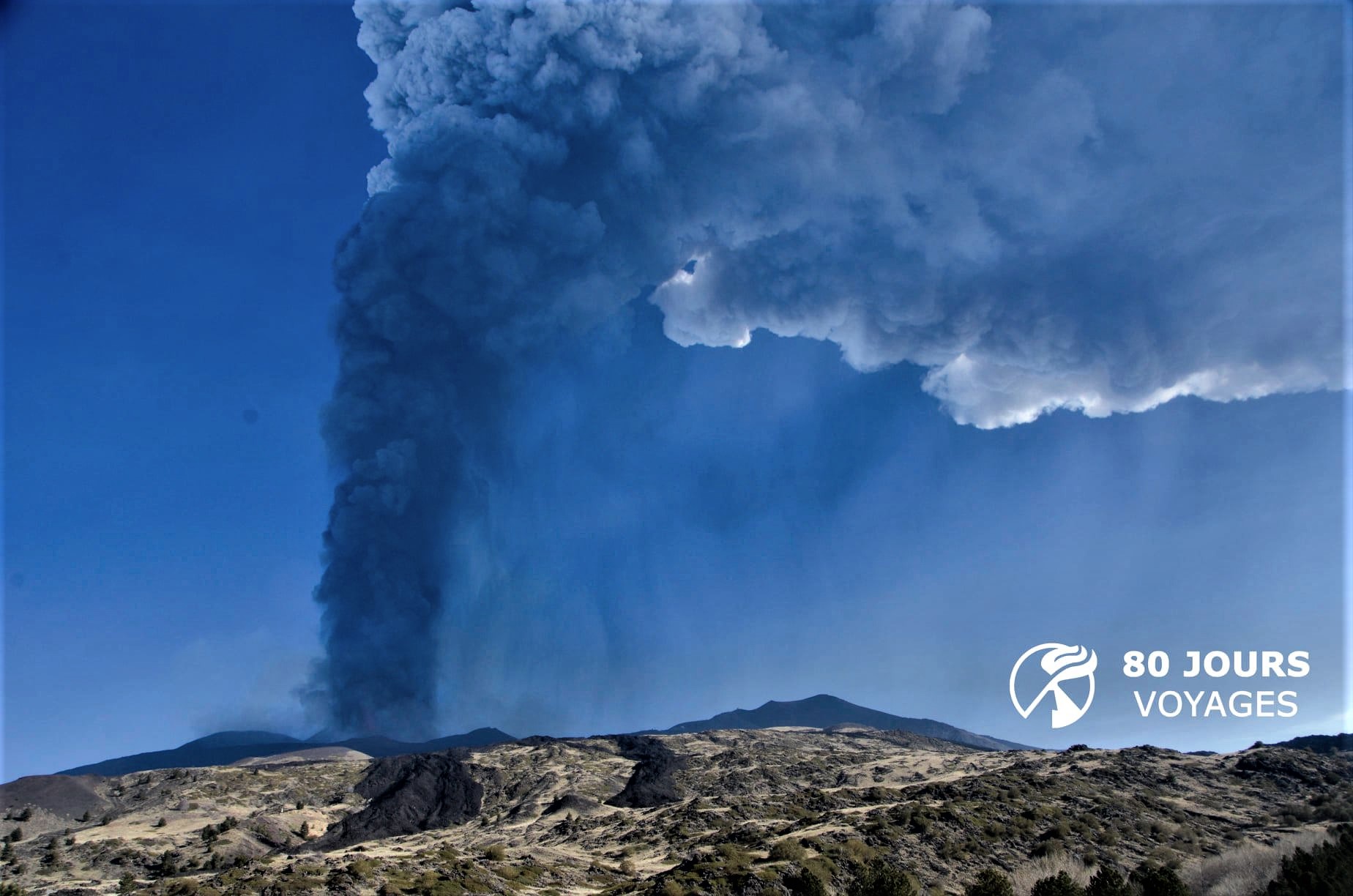
The National Institute of Geophysics and Volcanology, Osservatorio Etneo, communicates that the lava flows in the upper part of the Valle del Bove are no longer fed and are cooling down. There remains a weak and sporadic emission of ash at the Southeast Crater and at Bocca Nuova. These ashes quickly disperse into the atmosphere above the craters.
In the other craters, explosive activity remains.
As for the average amplitude of the volcanic tremor, after the phase of increase, it returned to medium-low values, where it still remains. The source of the tremor is still located in the area of the Southeast Crater at a depth of about 2,500 m above sea level, although in the last few hours it shows a gradual displacement towards the other craters. vertices (BN, VOR and NEC).
After the moderate increase reported in the previous press release, infrasound activity decreased, returning to previous levels. The infrasound events are currently located in the Northeast Crater area.
The deformation data does not show significant changes.
Further updates will be communicated shortly.
Source : INGV.
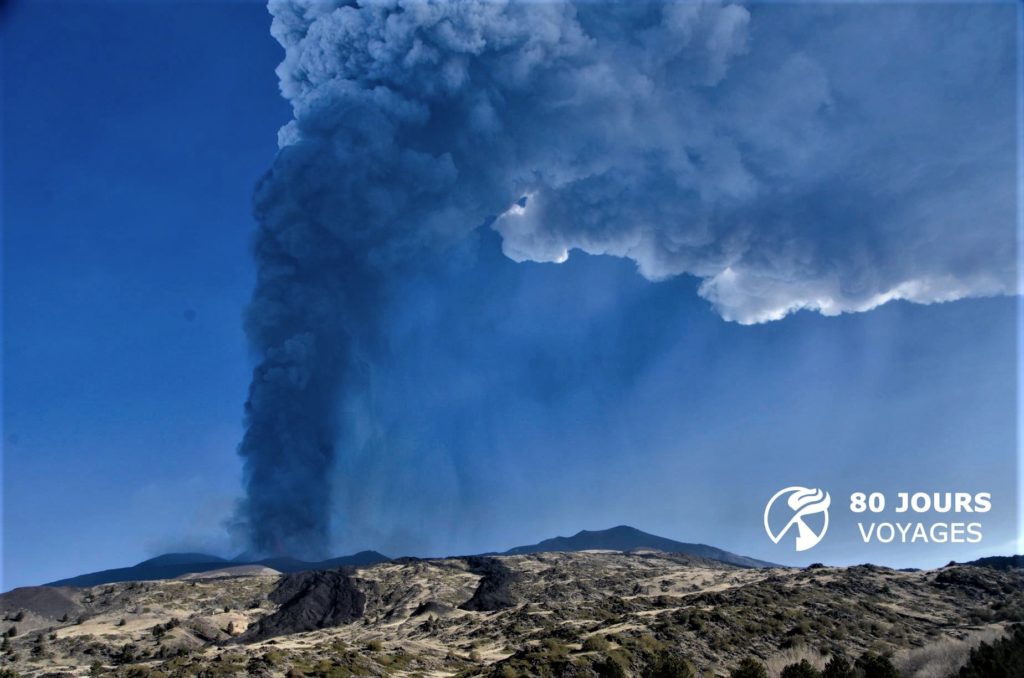
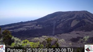
Photo : Sylvain Chermette / 80 Jours Voyages .
Iceland , Reykjanes Peninsula :
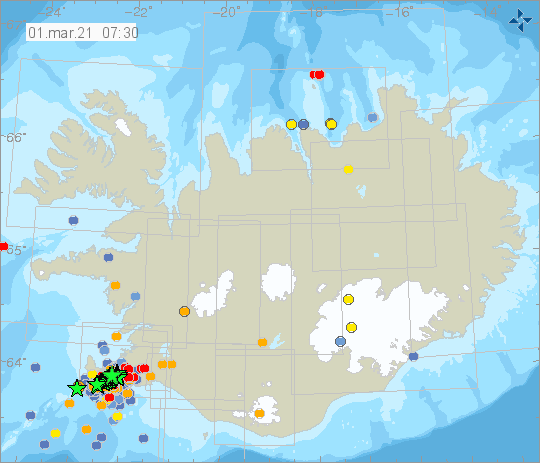
An intense earthquake swarm started on the Reykjanes Peninsula on February 24th with an earthquake M5.7 followed by an M5.0.
On February 27th an earthquake M5.2 occurred.
On February 28th an M4,7 earthquake occurred.
Such intense swarms are not unknown, e.g. on June 10th in 1933, five earthquakes M4.9-M5.9 were recorded in Fagradalsfjall.
The swarm is still ongoing and since February 24th. the SIL system has detected over 10 000 earthquakes in the area. Around 30 earthquakes of M4 and greater have been recorded and around 200 above M3.
Yesterday evening (Feb. 28th): At 19:01 an earthquake around M4.7 around 1.5 km SW of Keili. March 1st: Just now at 01:31 am (March 1st) an earthquake of M4.9 was detected some 2.5 km WSW of Keilir, in same place as other earthquakes in the ongoing swarm. It was felt widely on Reykjanes peninsula the Capital Area and in S and W Iceland.
Source et graphiques : Vedur Is.
Italy , Stromboli :
PRESS RELEASE ON THE ACTIVITY OF STROMBOLI, 01 March 2021, 03:13 (02:13 UTC).
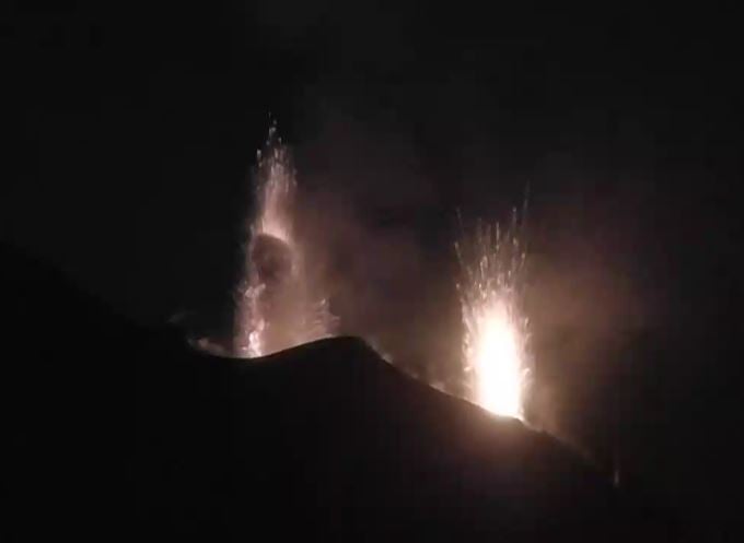
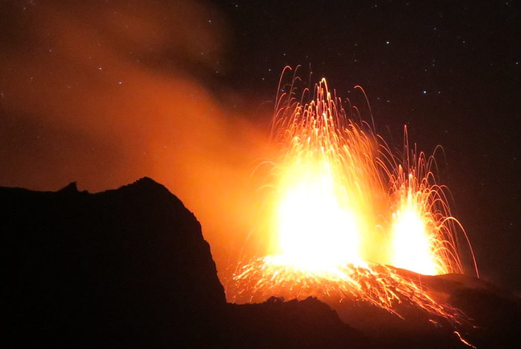
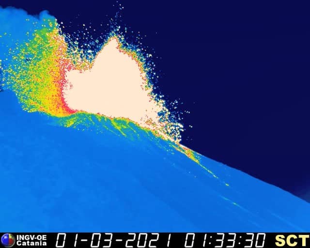
The National Institute of Geophysics and Volcanology, Osservatorio Etneo, reports that at 1:32 UTC there was a first explosion of lower intensity followed by a second explosion of greater intensity at 1:33 UTC in the area. of the Northeast Crater. The height of the emitted products reached a height of about 200 m, most of the products fell back into the Sciara del Fuoco
From a seismic point of view, from 01:32 to 01:34 UTC, a sequence of about 10 explosive events was recorded, of which the most energetic at 01:33 UTC, followed by a phase of moderate increase of the tremor which ended at 01:37 UTC approx.
PRESS RELEASE ON THE ACTIVITY OF STROMBOLI, 01 March 2021, 04:40 (03:40 UTC).
The National Institute of Geophysics and Volcanology, Osservatorio Etneo, announces that an explosive sequence in the North zone has been detected from the analysis of the images of the cameras, which began with three events of less intensity, respectively at 1 : 32: 50, 1: 33:00 and 1:33:10 UTC. After approximately ten seconds, a major explosion occurred at 1:33:30 UTC lasting approximately 10 seconds and ended at 1:34:00 UTC.
This latter activity produced a fall of coarse material along the Sciara del Fuoco and part of the material emitted fell back towards Pizzo.
From the seismic point of view, after the phase of increasing the amplitude of the tremor which followed the explosive sequence, reported in the previous press release, the values returned to normal. There is no significant change in the rate of occurrence of explosive events.
The deformation data does not show significant changes.
Further updates will be communicated shortly.
Source : INGV.
Photos : Webcam , Andrey Nikiforov . INGV.
Martinique , Mount Pelée :
Weekly report on the activity of Mount Pelée for the period from February 19 to 26, 2021.
Seismicity of volcanic origin has increased during the last week. None of these earthquakes were felt by the population.
Between February 19, 2021 4 p.m. UT (local time + 4h) and February 26, 2021, 4 p.m. UT (local time + 4h), the OVSM recorded at least 46 volcano-tectonic earthquakes of magnitude less than 1, located at shallow depth within the volcanic edifice, between 1.2 km below sea level and 1 km above sea level, with the exception of an earthquake located 15.1 km below the level from the sea. The superficial volcano-tectonic seismicity characterized by high frequency signals is associated with micro-fracturing in the volcanic structure. While the deep earthquake could correspond to the pressurization of a deep zone of the magmatic system.
During this reporting period, the OVSM recorded 1 isolated long-period type earthquake. This signal containing low frequencies is associated with the migration of fluids in the volcanic edifice.
During phases of volcanic reactivation, it is common for periods of higher seismic activity to alternate with phases of weaker seismicity. The seismicity of volcanic origin remains however clearly above the average base level recorded between January 1, 2015 and April 2019 (date of the start of its increase).
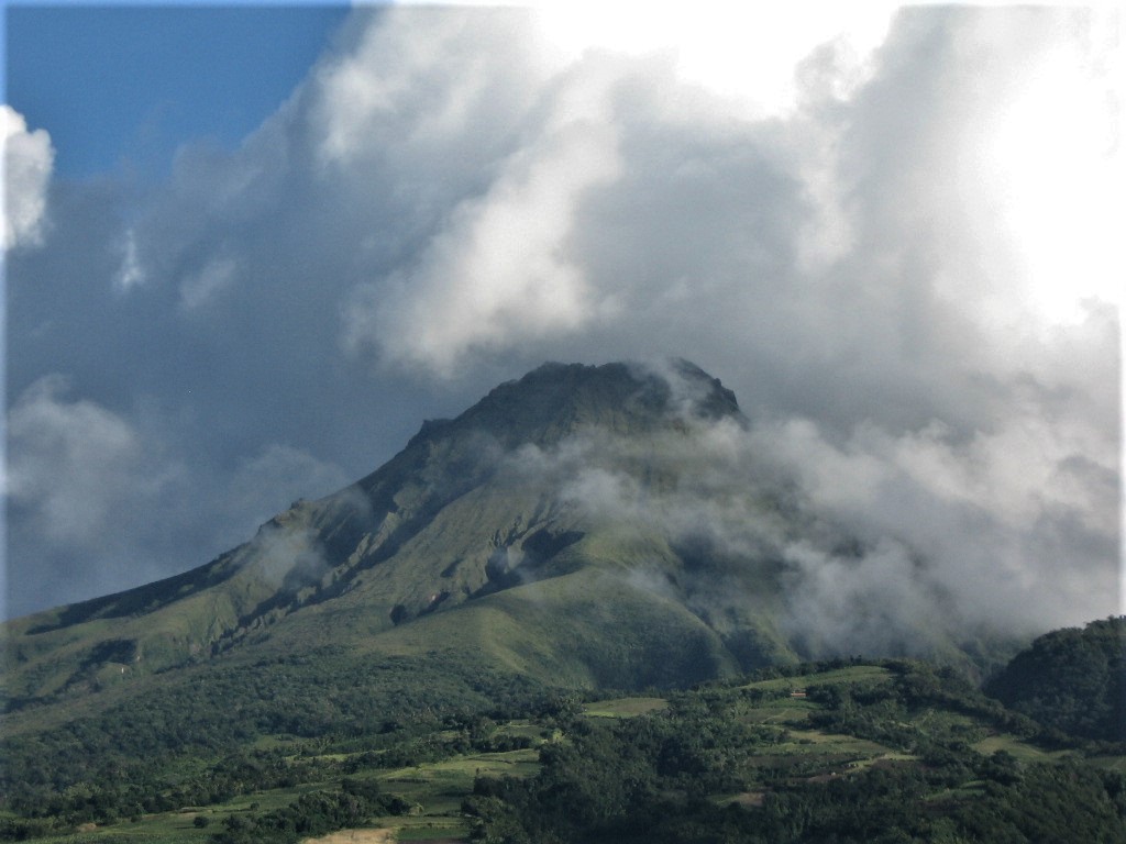
A heavily degraded, browned and dead vegetation zone is observed on the southwest flank of Mount Pelée, between the upper Claire River and the Chaude River, above their confluence. An intervention on the ground on February 08, 2021 by the OVSM, with the support of the STIS and the civil protection helicopter confirmed the presence in this zone of a diffuse and passive degassing from the ground, without the presence of fumaroles, carbon dioxide (CO2, an odorless and colorless gas) significantly higher than the basic level and which was measured with specific and calibrated detectors of the OVSM. This area is located less than 200 m from the Claire River, where fumes of hydrogen sulfide (H2S, smell of rotten egg) have been described in scientific literature for several years, near thermal springs that come from the hydrothermal system. of Mount Pelée.
The alert level remains at the yellow level: Vigilance.
Source : Direction OVSM-IPGP.
Photo : Jmp48 / Wikipedia

