April 30 , 2020.
Italy , Stromboli :
Weekly bulletin from April 20, 2020 to April 26, 2020 (issue date April 28, 2020)
SUMMARY OF ACTIVITY STATUS
In light of the monitoring data, it is highlighted:
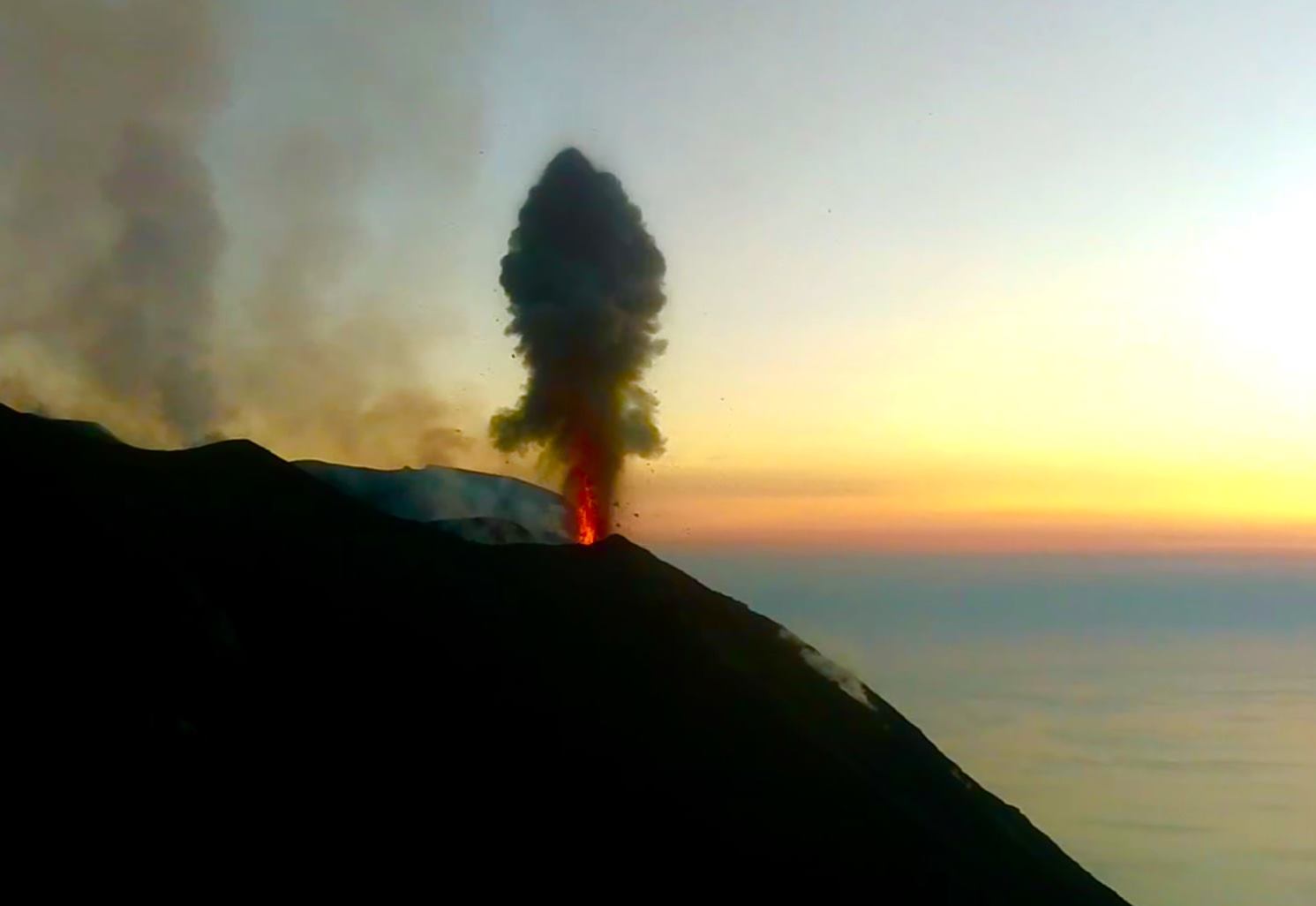
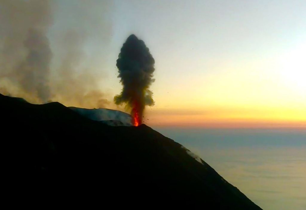
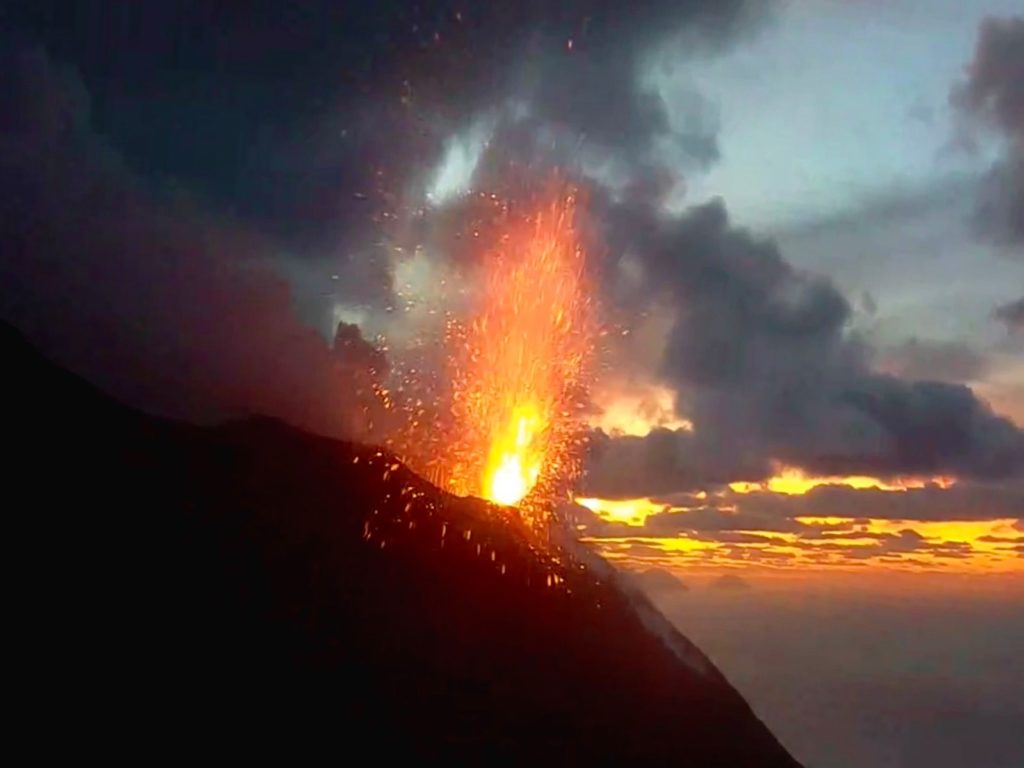
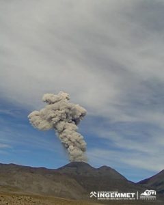
1) VOLCANOLOGICAL OBSERVATIONS: During this period, normal Strombolian type explosive activity was observed, accompanied by degassing and splashing activities. The hourly frequency of explosions fluctuated between medium-high values (15 events / h on April 22) and high values (22 events / h on April 20 and 25). The intensity of the explosions was mainly medium-low in the area of the North crater and medium-high in the area of the Center-South crater.
2) SEISMOLOGY: The seismological parameters do not show significant variations.
4) DEFORMATIONS: Data from the Stromboli soil deformation monitoring networks did not show significant changes last week.
5) GEOCHEMISTRY: The flow of SO2 is at an average level. The last measurement of the CO2 / SO2 ratio is at an average value (last update on 02/09/2020). The isotopic ratio of helium remains on average values (last update of 09/03/2020). There is no update on the CO2 released by the soil.
6) SATELLITE OBSERVATIONS: The thermal activity in the summit area is low.
VOLCANOLOGICAL OBSERVATIONS.
The analysis of the images recorded by the cameras placed at an altitude of 400m, at an altitude of 190m and at Punta dei Corvi made it possible to characterize the eruptive activity of Stromboli. During the reporting period, the explosive activity was mainly produced by at least 4 (four) eruptive vents located in the area of the North crater and by at least 2 (two) eruptive vents located in the area of the Center-South crater . All the vents are located inside the depression which occupies the crater terrace.
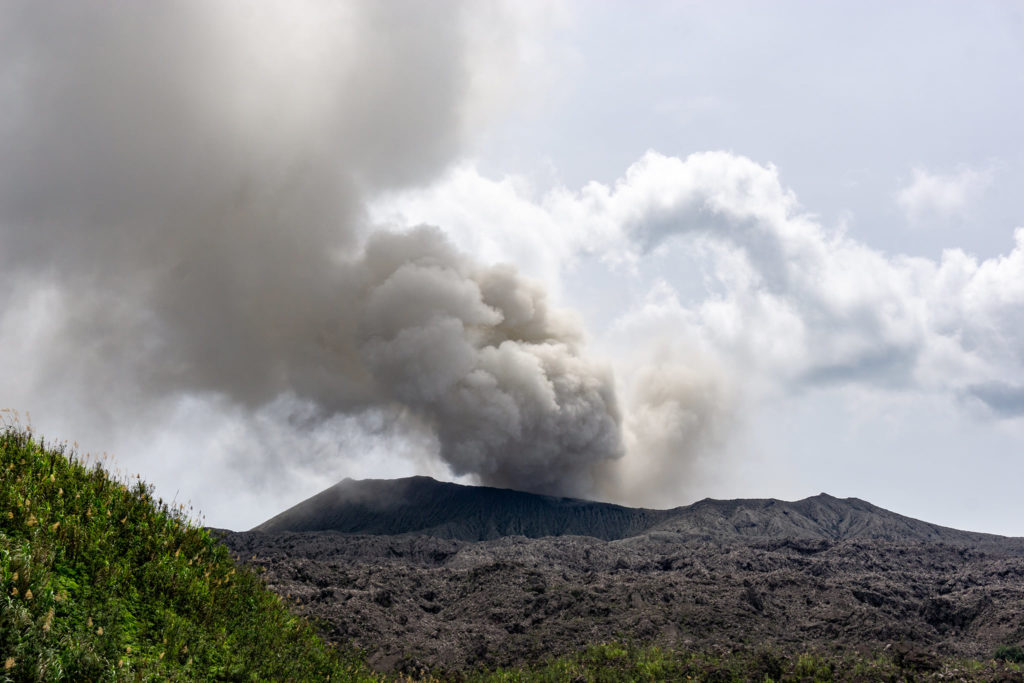
In the North zone, the explosions were mainly of variable intensity, from low (less than 80 m in height) to high (more than 150 m in height) emitting coarse materials (lapilli and bombs). In numerous explosions, the abundant fallout covered the outer slopes of the area overlooking the Sciara del Fuoco and the blocks rolled until they reached the coast. In addition, splashes were observed on April 20 and 21, which were intense mid-day on April 21. The average frequency of explosions in the North zone varied between 7 and 14 events / h. The explosive activity of the Center-South zone produced explosions of mainly fine materials (ashes) mixed with coarse particles of medium intensity (less than 150 m in height) sometimes high (the products exceed 250 m in height). Frequency of explosions in the Center-South zone varied between 7 and 10 events / h.
The amplitude of the volcanic tremor generally had medium-low values
Source : INGV.
Read the whole article : http://www.ct.ingv.it/joomlatools-files/docman-files/multidisciplinari/BollettinoStromboli20200428.pdf?fbclid=IwAR34PCcoSDOOr-aH3I0NwxbtgeGXZcjABScbJ3u2ksLc6PGcrUt7FRP9gqk
Photos : Web Cam.
Colombia , Nevado del Ruiz :
Weekly activity bulletin of the Nevado del Ruiz volcano
The level of activity continues at the level of yellow activity or (III): changes in the behavior of volcanic activity.
With regard to monitoring the activity of the Nevado del Ruiz volcano, the COLOMBIAN GEOLOGICAL SERVICE reports that:
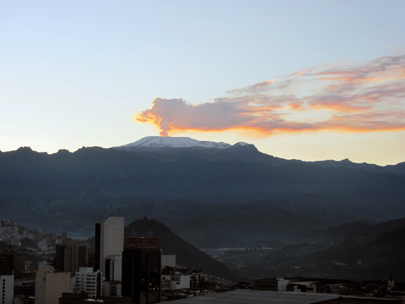
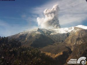
The seismicity linked to the dynamics of the fluids inside the volcanic conduits presented similar levels as well in the number of recorded events as in the seismic energy released, compared to the previous week. This seismic activity has been characterized by the occurrence of continuous volcanic tremors, tremor pulses, long period and very long period earthquakes. These earthquakes presented varying energy levels and spectral contents. Some of these signals were associated with small emissions of gas and ash, which were confirmed by cameras installed in the volcano area and by reports from officials of the Los Nevados National Natural Park in the region.
The seismicity generated by the fracturing of the rocks showed a slight increase in the number of earthquakes and similar levels of released seismic energy, compared to the previous week. This type of seismicity was mainly located in the Arenas crater and in the Northeast, Southwest, Southeast sectors and to a lesser extent North and North West of the volcano, at depths between 0.6 and 5.8 km. The maximum magnitude recorded during the week was 1.5 ML (local magnitude) corresponding to the earthquake recorded on April 22 at 00:42 (local time), located in the Arenas crater, 1.8 km deep.
The occurrence of a seismic episode of the « drumbeat » type, earthquakes associated with rock fracturing, on April 23 is highlighted. This episode was characterized by its low energy level.
The deformation of the volcanic surface, measured from GNSS stations (Global Navigation Satellite System), showed some changes, associated with volcanic activity, consistent with those recorded by the other volcanic monitoring parameters, used during the evaluation complete activity of Nevado del Ruiz.
By monitoring the information provided on the Mirova and NASA FIRMS web portals, low-energy thermal anomalies on the volcano have been reported in the past week.
Source : SGC .
Photos : archivo/Caracol Radio
Japan , Suwanosejima :
29.638°N, 129.714°E
Elevation 796 m
JMA reported that during 17-24 April incandescence from Suwanosejima’s Ontake Crater was visible nightly. Small eruptions occasionally occurred, along with an explosion on 24 April, producing gray-white plumes that rose as high as 600 m above the crater rim and ejected material as far as 600 m from the crater. Rumbling sounds were noted in a village 4 km SSW. The Alert Level remained at 2 (on a 5-level scale).
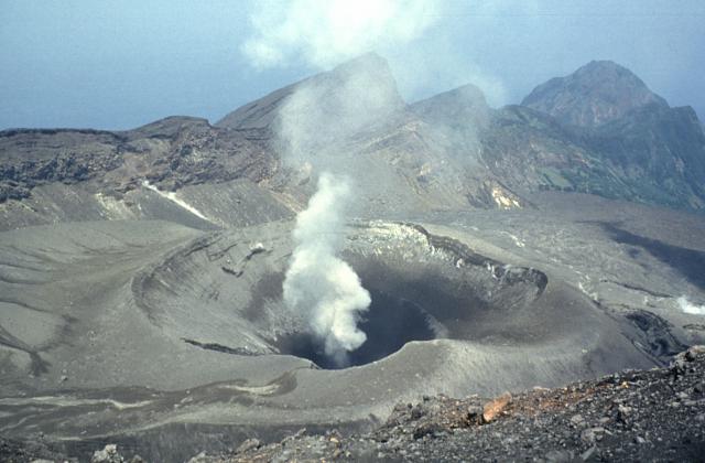
A steam plume rises above On-take, the summit crater of Suwanose-jima volcano. The 8-km-long, spindle-shaped island of Suwanose-jima consists of a stratovolcano with two historically active summit craters. The dipping escarpment at the top of the photo is the NW wall of a large breached crater that extends to the sea on the east flank. The horseshoe-shaped crater was formed by edifice collapse. Suwanose-jima, one of Japan’s most frequently active volcanoes, has been in a state of intermittent strombolian activity since 1949.
The 8-km-long, spindle-shaped island of Suwanosejima in the northern Ryukyu Islands consists of an andesitic stratovolcano with two historically active summit craters. The summit of the volcano is truncated by a large breached crater extending to the sea on the east flank that was formed by edifice collapse. Suwanosejima, one of Japan’s most frequently active volcanoes, was in a state of intermittent strombolian activity from Otake, the NE summit crater, that began in 1949 and lasted until 1996, after which periods of inactivity lengthened. The largest historical eruption took place in 1813-14, when thick scoria deposits blanketed residential areas, and the SW crater produced two lava flows that reached the western coast. At the end of the eruption the summit of Otake collapsed forming a large debris avalanche and creating the horseshoe-shaped Sakuchi caldera, which extends to the eastern coast. The island remained uninhabited for about 70 years after the 1813-1814 eruption. Lava flows reached the eastern coast of the island in 1884. Only about 50 people live on the island.
Source: Japan Meteorological Agency (JMA) , GVP.
Photo : Yukio Hayakawa, 1998 (Université Gunma).
Indonesia , Dukono :
1.693°N, 127.894°E
Elevation 1229 m
Based on satellite and wind model data, the Darwin VAAC reported that during 22-28 April ash plumes from Dukono rose to 2.1 km (7,000 ft) a.s.l. and drifted in multiple directions. The Alert Level remained at 2 (on a scale of 1-4), and the public was warned to remain outside of the 2-km exclusion zone.
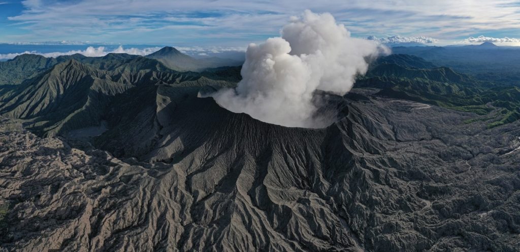
Level II activity level (WASPADA). Mount Dukono (1229 m above sea level) is experiencing a continuous eruption. The last eruption occurred on April 29, 2020 with an eruption column height of 400 meters above the summit.
The volcano is clearly visible until it is covered with fog. The smoke from the crater is observed white / gray in color with a strong, thick intensity, about 200-500 meters above the summit. The weather is sunny / rainy, the wind is weak towards the South.
According to the seismographs of April 29, 2020, it was recorded:
1 local tectonic earthquake
Continuous tremor, amplitude 0.5 to 10 mm (dominant value 2 mm)
Recommendation:
The community around G. Dukono and visitors / tourists must not move, climb and approach the crater of Malupang Warirang within a radius of 2 km.
Since volcanic ash eruptions occur periodically and the ash dispersion follows the wind direction and speed, when the ash is not fixed, it is recommended that the community around G. Dukono always wear masks / nose and mouth cover to be used when necessary to avoid the danger of volcanic ash in the respiratory system.
VOLCANO OBSERVATORY NOTICE FOR AVIATION – VONA.
Issued: 20200429/0046Z
Volcano: Dukono (268010)
Current Aviation Colour Code: ORANGE
Previous Aviation Colour Code: orange
Source: Dukono Volcano Observatory
Notice Number: 2020DUK27
Volcano Location: N 01 deg 41 min 35 sec E 127 deg 53 min 38 sec
Area: North Maluku, Indonesia
Summit Elevation: 3933 FT (1229 M)
Volcanic Activity Summary:
Eruption with volcanic ash cloud at 23h20 UTC (08h20 local).
Volcanic Cloud Height:
Best estimate of ash-cloud top is around 5213 FT (1629 M) above sea level, may be higher than what can be observed clearly. Source of height data: ground observer.
Other Volcanic Cloud Information:
Ash-cloud moving to south.
Remarks:
Eruption and ash emission is continuing
Sources : GVP , Magma Indonésie , PVMBG.
Photos : Martin Rietze , Claudio Jung.

